This climb can be dangerous and is not recommended for anyone who does not have sufficient experience.
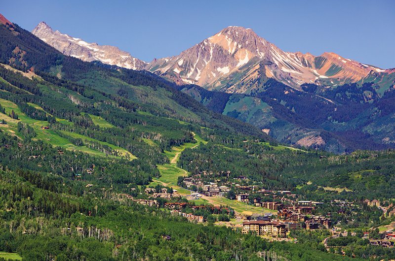
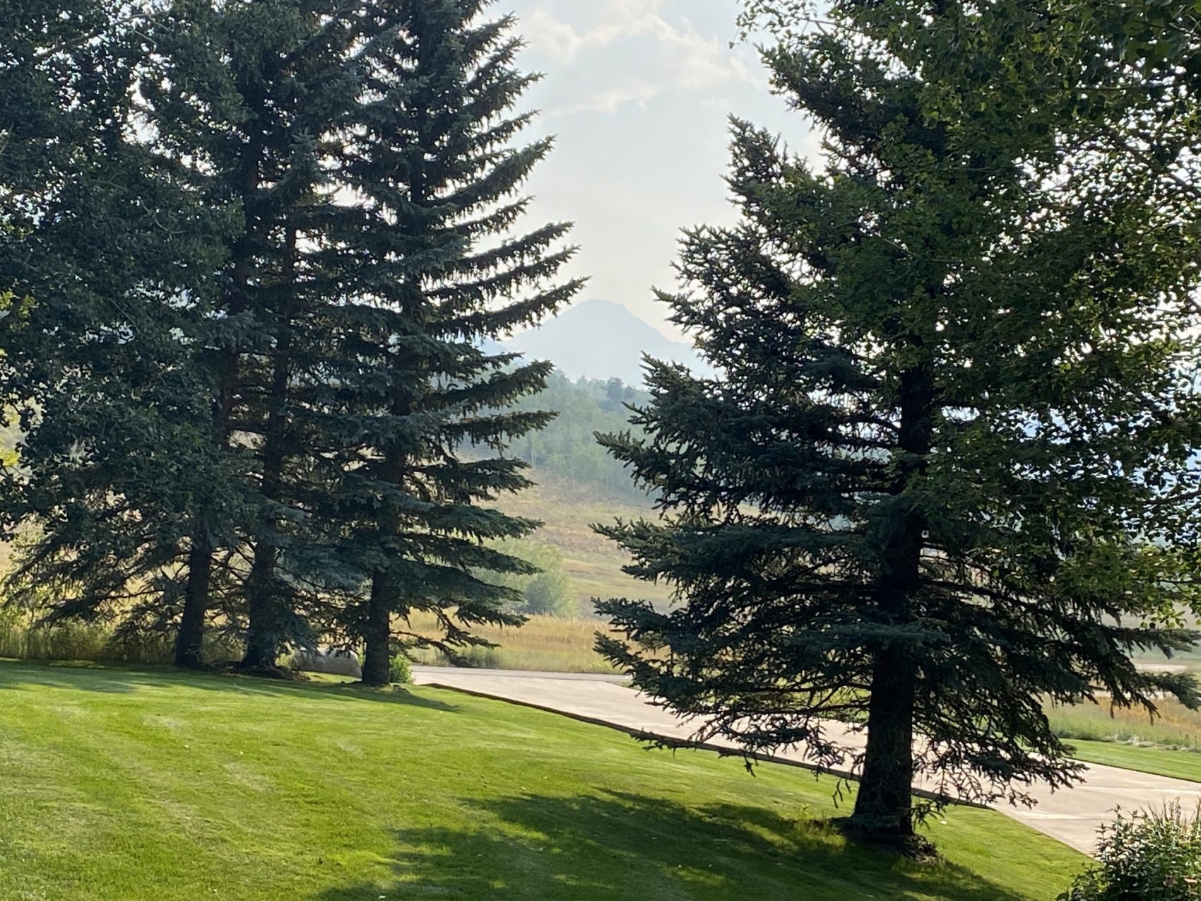
Mt. Daly prominently towers above Snowmass Village, Colorado. At 13,300 feet, it’s hard to miss as it abruptly rises out of the 8,000′ valley. From home, I’ve always had a great view of the peak, and it was super awesome to get this one checked off the bucket list (next up is a ski descent!).
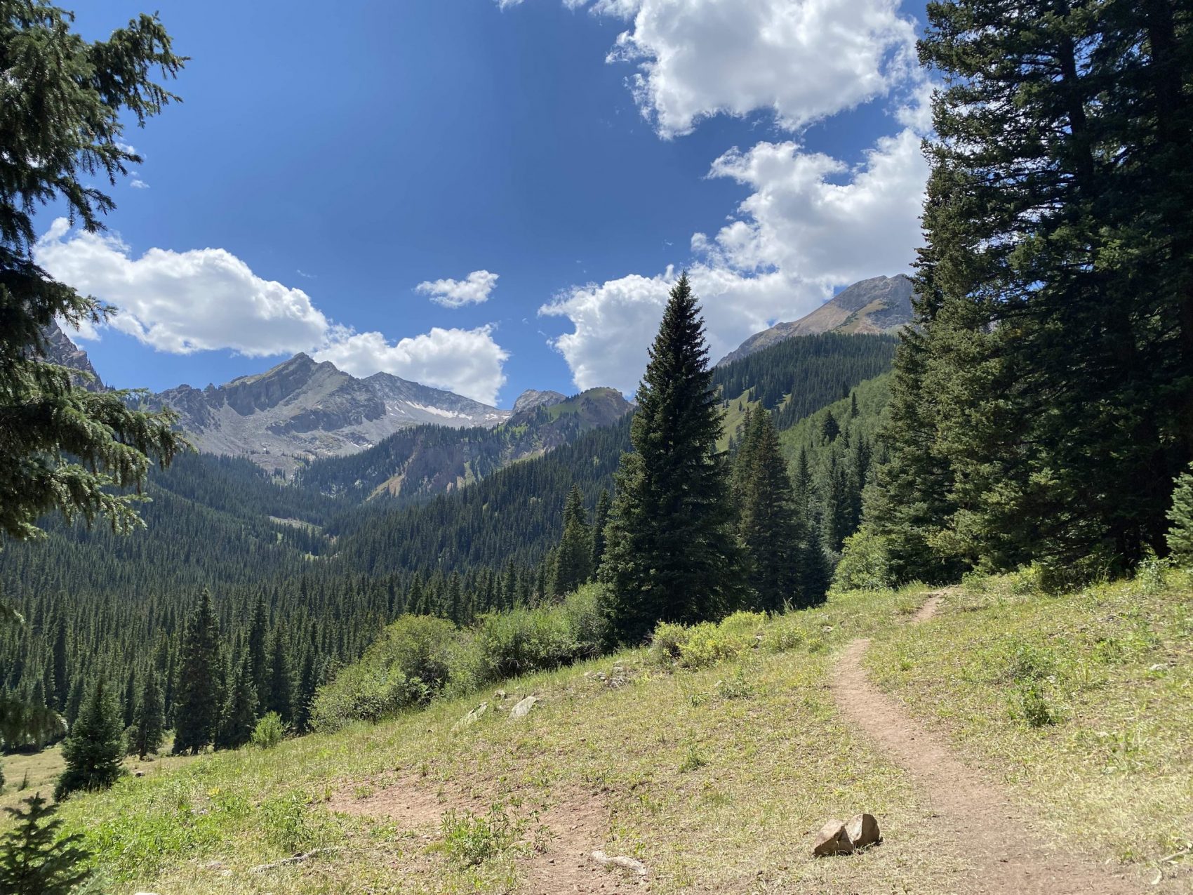
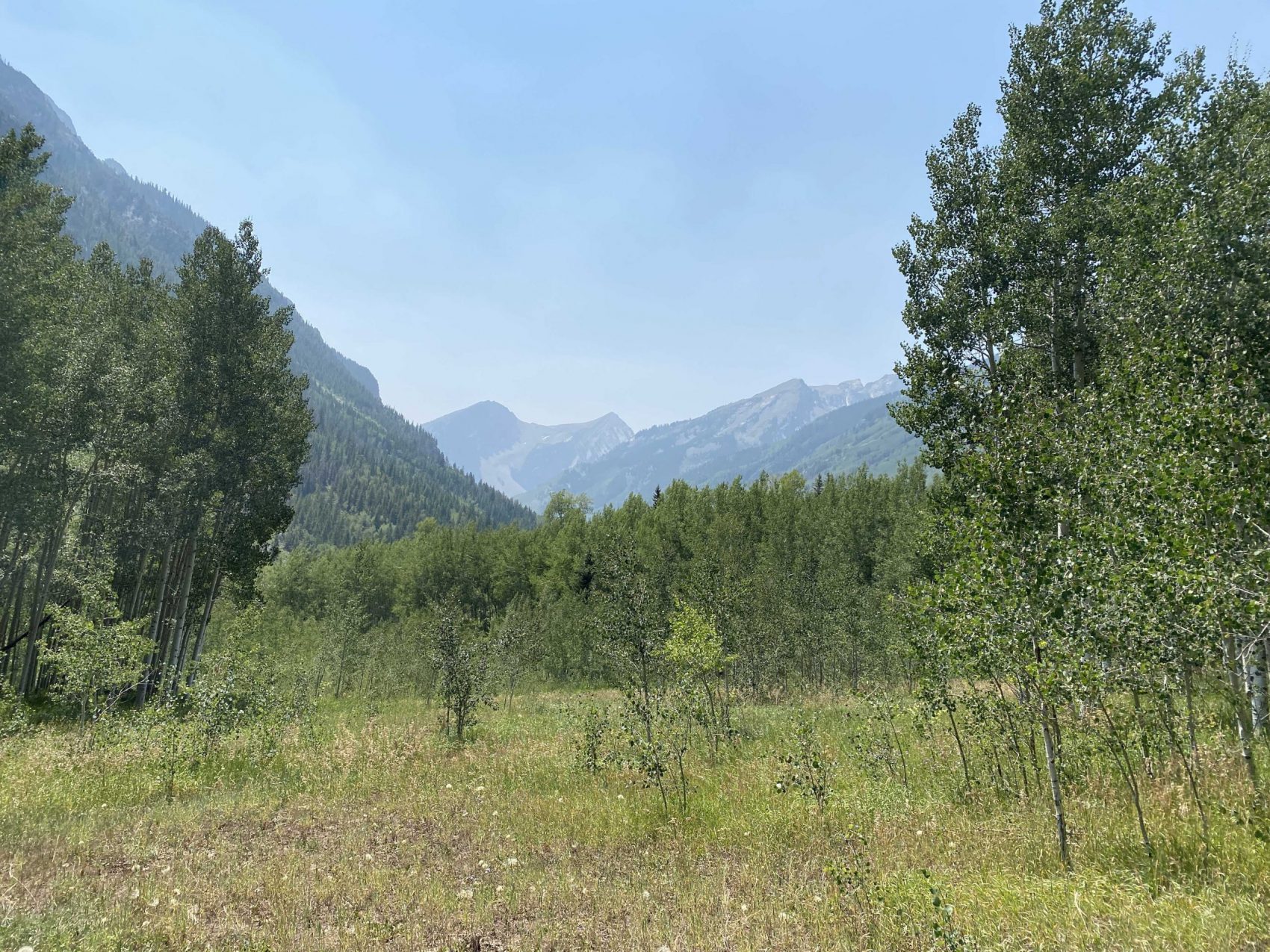
We started on Thursday, August 13 at about noon, and began hiking up Snowmass Creek. About a mile and a half into the hike, we had to cross Snowmass Creek, which is a fairly large stream and required us to take off our boots and socks to cross. We got our feet dry and began hiking up West Snowmass Creek. The trail meandered through towering Aspens and ascended up the valley, it was a super cool trail.
The objective that we were aiming for camp was somewhere in the vicinity of Moon Lake, which is the source of West Snowmass Creek. The trail that we were on, however, climbed out of the West Snowmass Creek drainage and up to the saddle between Daly and Haystack Mountain, which would put us on the North Ridge of Daly instead of our South Ridge objective. We pulled off the trail about 4 miles in and linked cow trails together with some intense bushwhacking in between. It was truly horrible travel and took us several hours to work through. 2 miles of the thick forest eventually yielded a large avalanche path created by the historic March avalanche cycle last year running straight down Daly’s east face and down the West Snowmass Creek drainage.
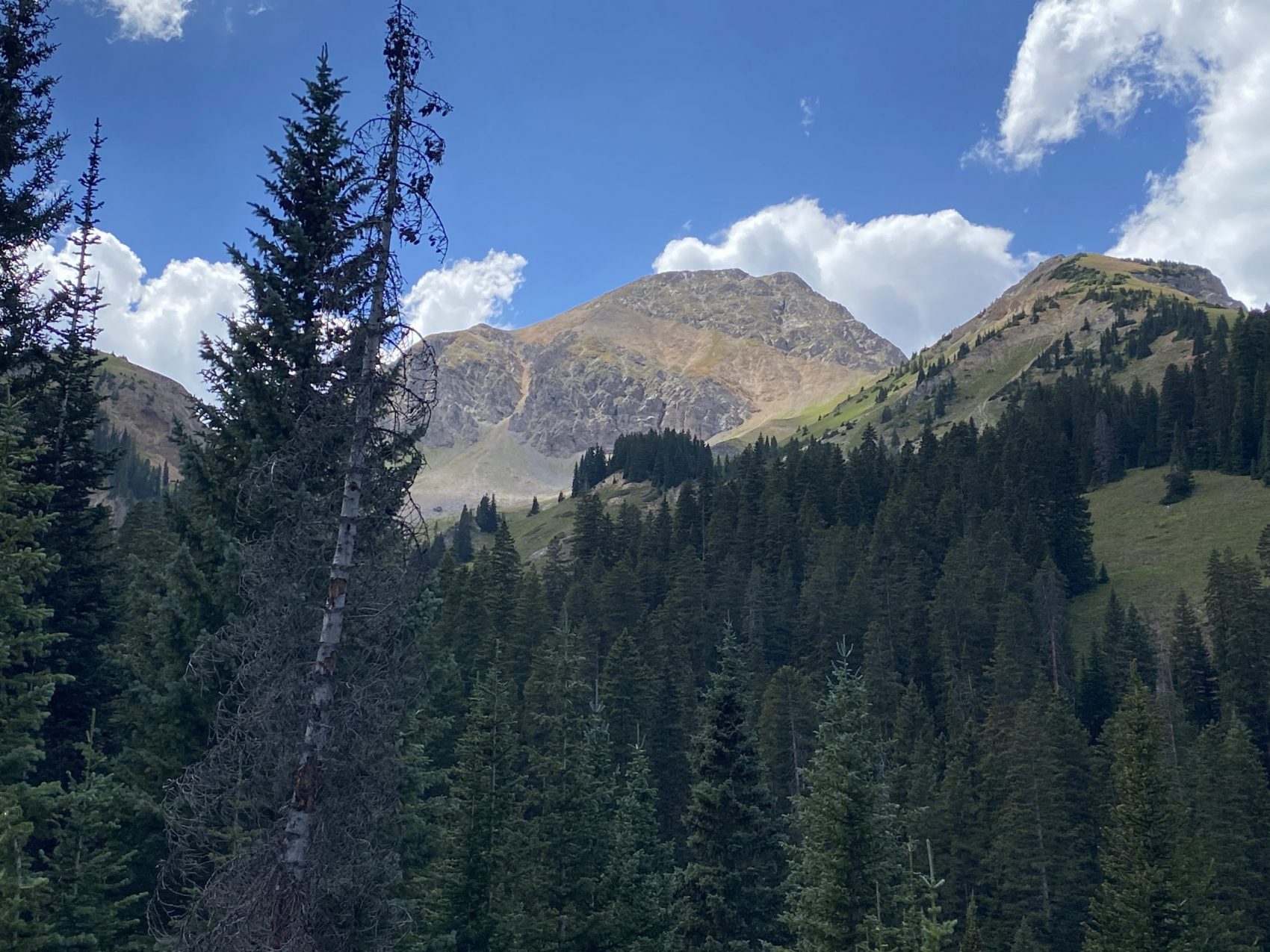
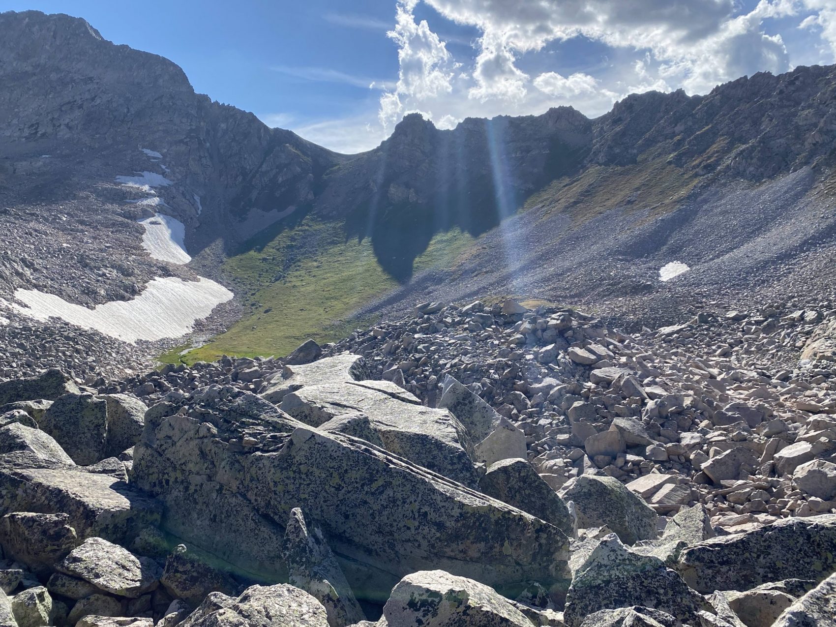
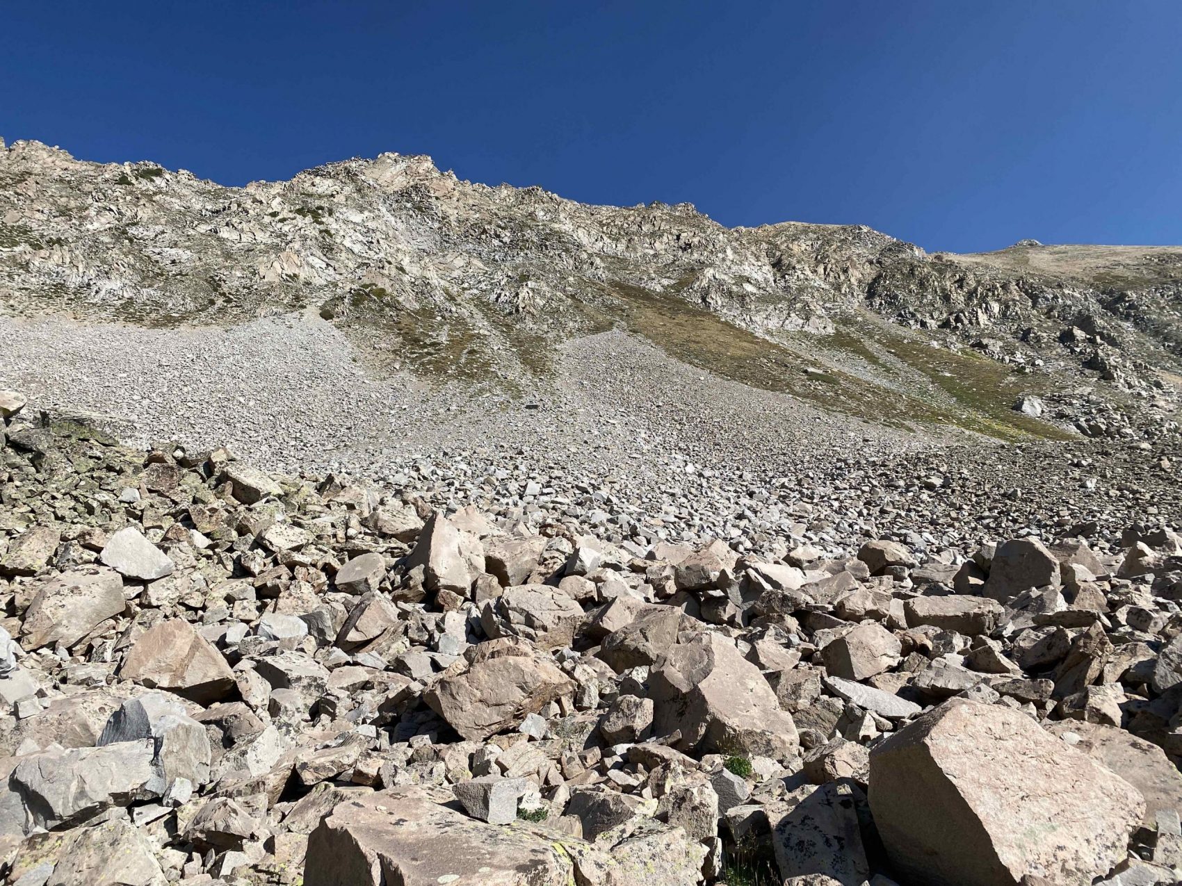
Finally, we found some sort of trail right about where Snowmass Creek really begins climbing up toward the lake. The trail seemed fairly well-traveled, and we stuck with it until vegetation began to fade at treeline and the trail became more and more convoluted. The trail meandered toward a large boulder field, and at that point, we had no option other than to scramble straight up the rocks.
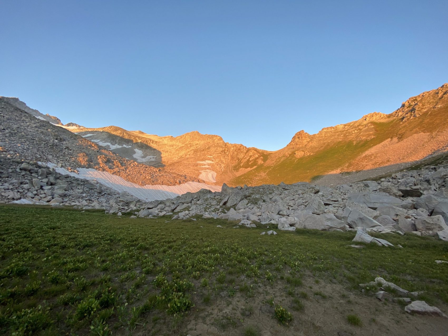
One boulder field gave way to another, and we connected about three up to Moon Lake. When we finally reached the lake, we surveyed our options for camp. There wasn’t much available. To get a better vantage point, we scrambled up a large butte to the north of Moon Lake and saw an upper basin that had perfect flat grass next to a small creek fed by snowmelt. We traversed the scree slope down to the basin and set up camp.
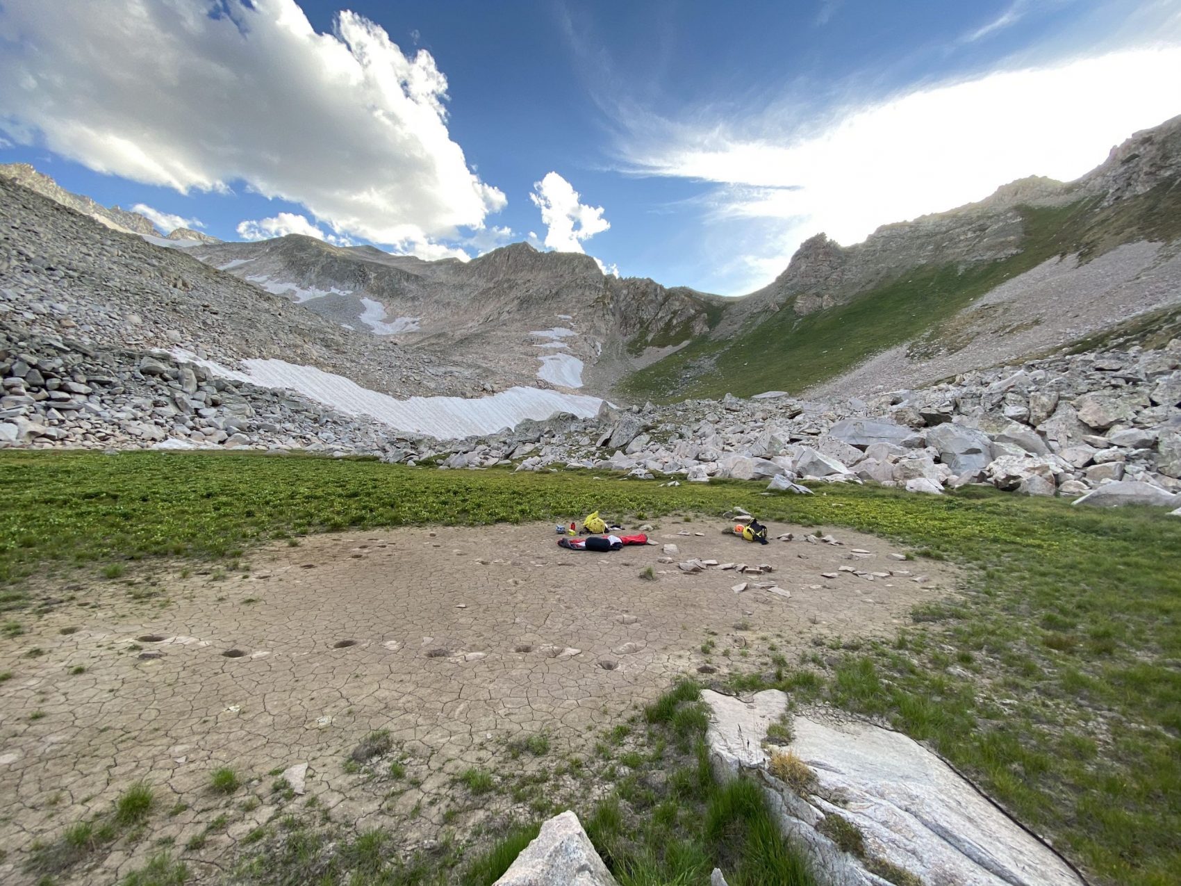
Our objective for the trip was to go light and fast, and we certainly did so. We didn’t bring a tent, and instead just brought bivvy bags to stay dry in the off chance that it would rain (although the forecast had 0% our entire trip). We didn’t bring a stove, either, just cold food backed beforehand.
We enjoyed a nice (cold) dinner as the sun went down behind the Daly/Capitol saddle, and set up camp on a stretch of dry dirt that was probably an old dried-up lakebed. We chatted for a few hours while we waited for the sun to get dark enough to make us tired, and we went to sleep.
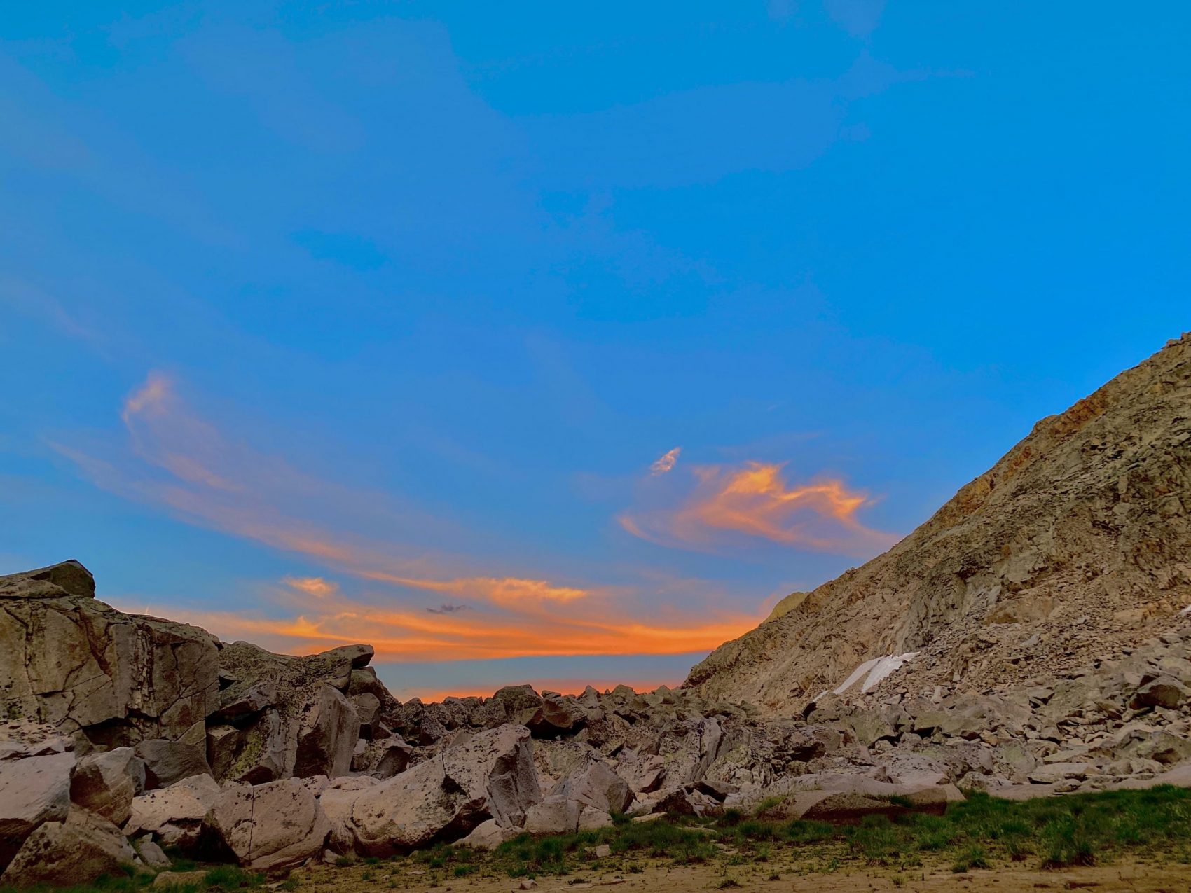
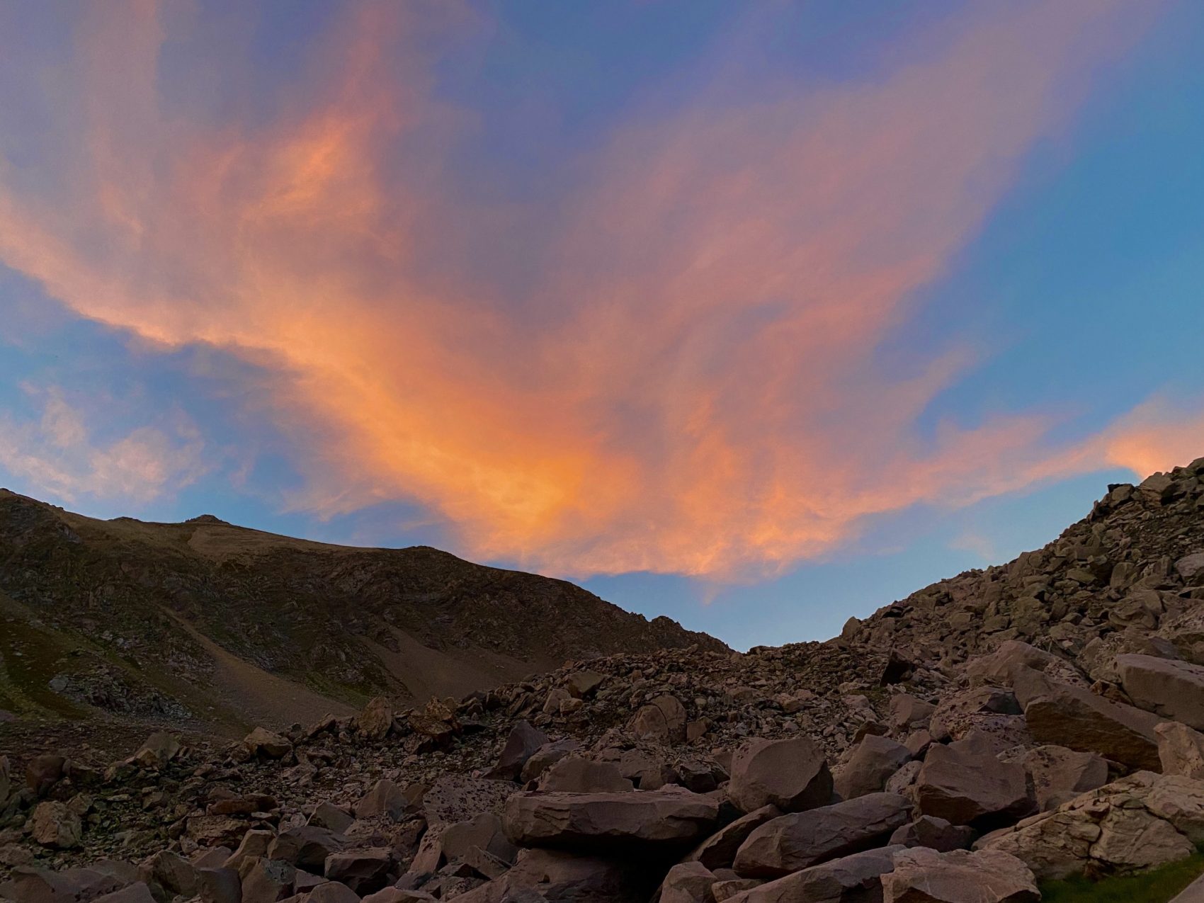
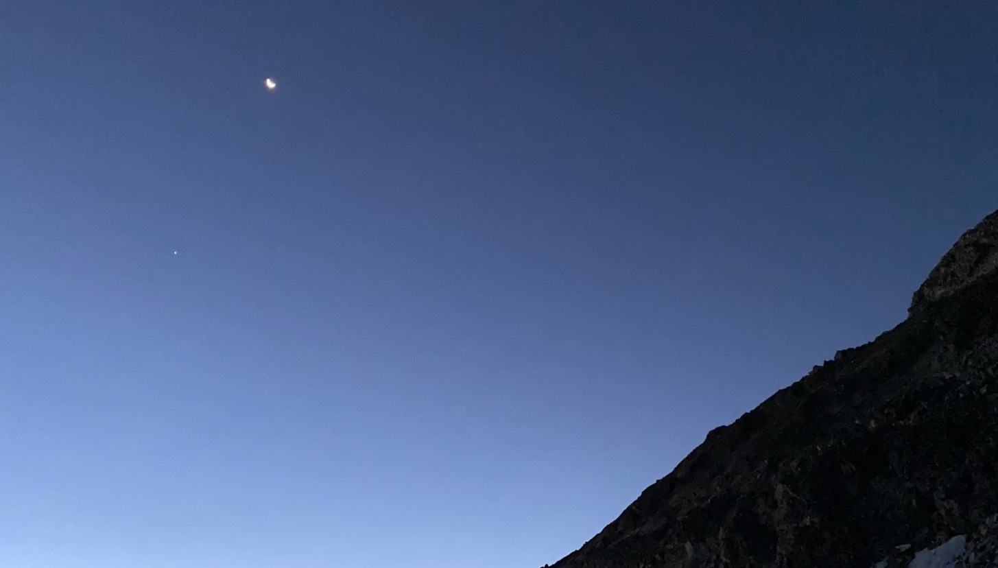
I woke up at about 5:30 am, before the sun rose, and enjoyed some solitude and interesting things from the comfort of my sleeping bag. I watched the moon rise along with Venus above the horizon to the east, and saw some climbers traversing down from the Daly/Capitol saddle towards K2 on their eventual Capitol summit bid.
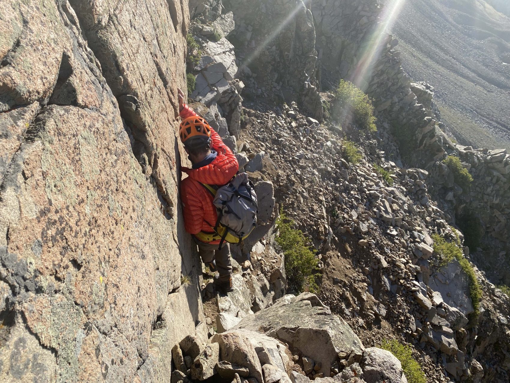
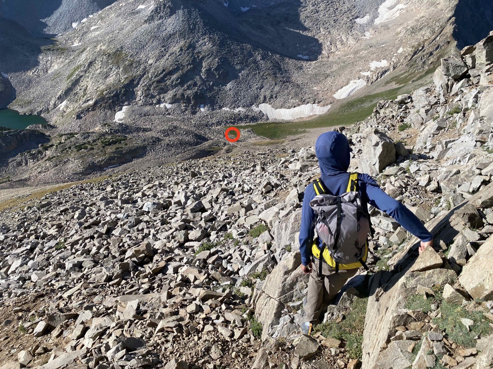
We were both up and moving at around 6:30 am, and ate some cold breakfast, packed up our camp (we stuffed our extra things under a rock while we summitted Daly to avoid extra weight), and got moving at about 6:45 am. The climb even up to Daly’s south ridge was fairly strenuous. An extremely steep boulder field gave way to a steeper grassy slope, which climbed up to the bottom of a chute of loose rock that we would use to gain the ridge. The chute itself was fairly dicey, there were no stable rocks, so any rock that you put weight on would either shift or completely pull away from the slope, cascading down the chute causing huge clouds of dust and clatters that rang throughout the basin. We were wearing helmets and trying to stay out of each other’s way to avoid any injuries caused by rockfall.
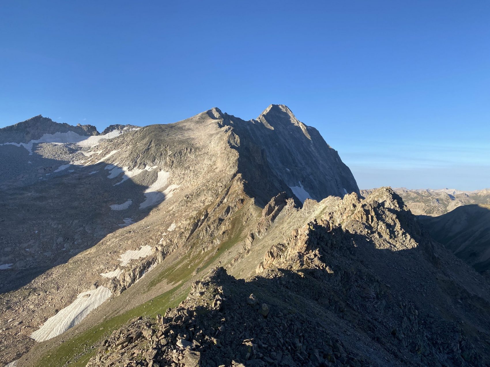
We finally gained the ridge, but we were immediately blocked by a large tower sticking up on the ridge, which posed some issues for us since we didn’t have any ropes to ascend it safely. We traversed to the right of the feature and continued playing along the east side of the ridge until we found a weakness to ascend back up to the ridge. There were some fairly dicey spots with large exposure along the traverse, but nothing outside of our comfort zone.
We continued up the ridge, zigzagging over the ridge avoiding blocking features. There really was no stable rock, even on the ridge, meaning anything you pulled on with your hands would come free and go careening thousands of feet down to the respective drainages. Our motto for the day was “slow and suspicious” (of rock stability).
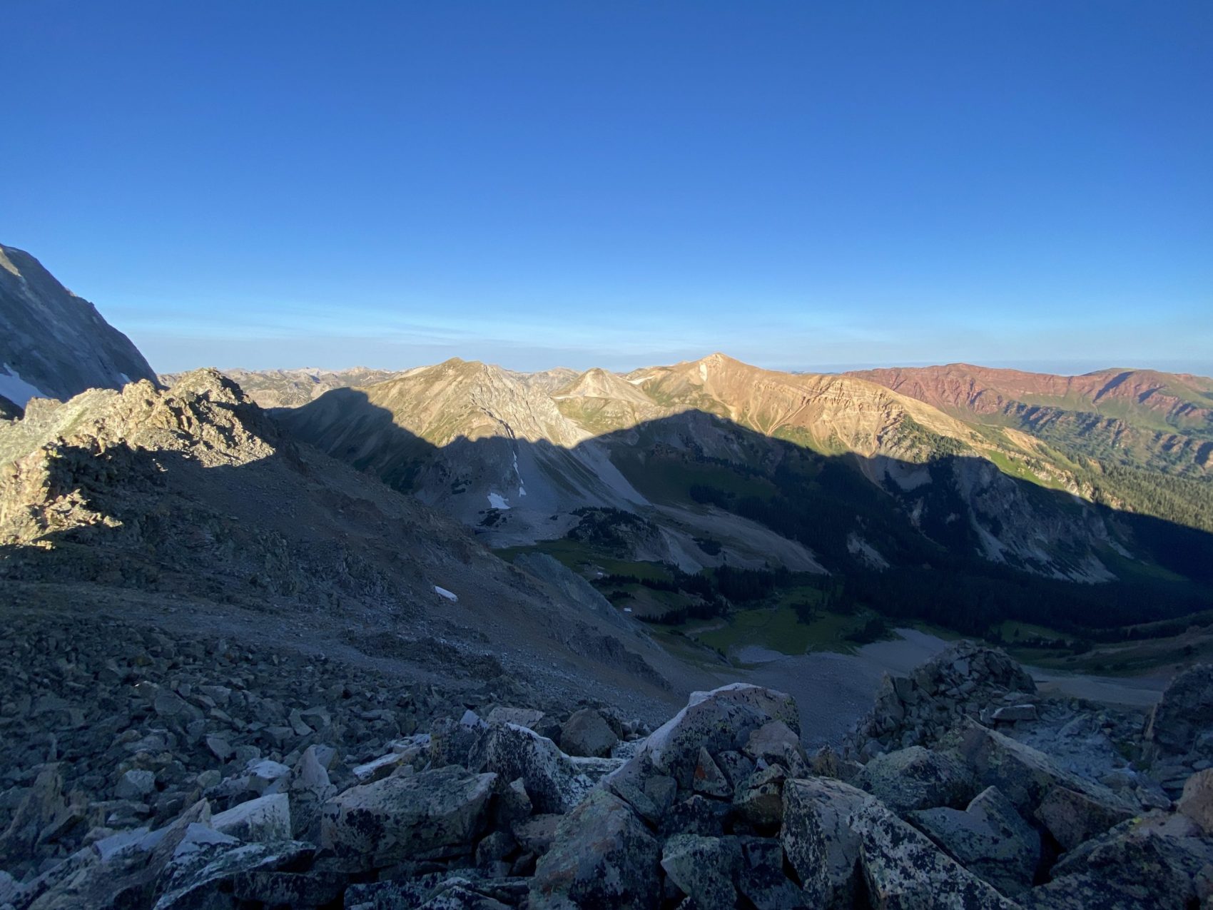
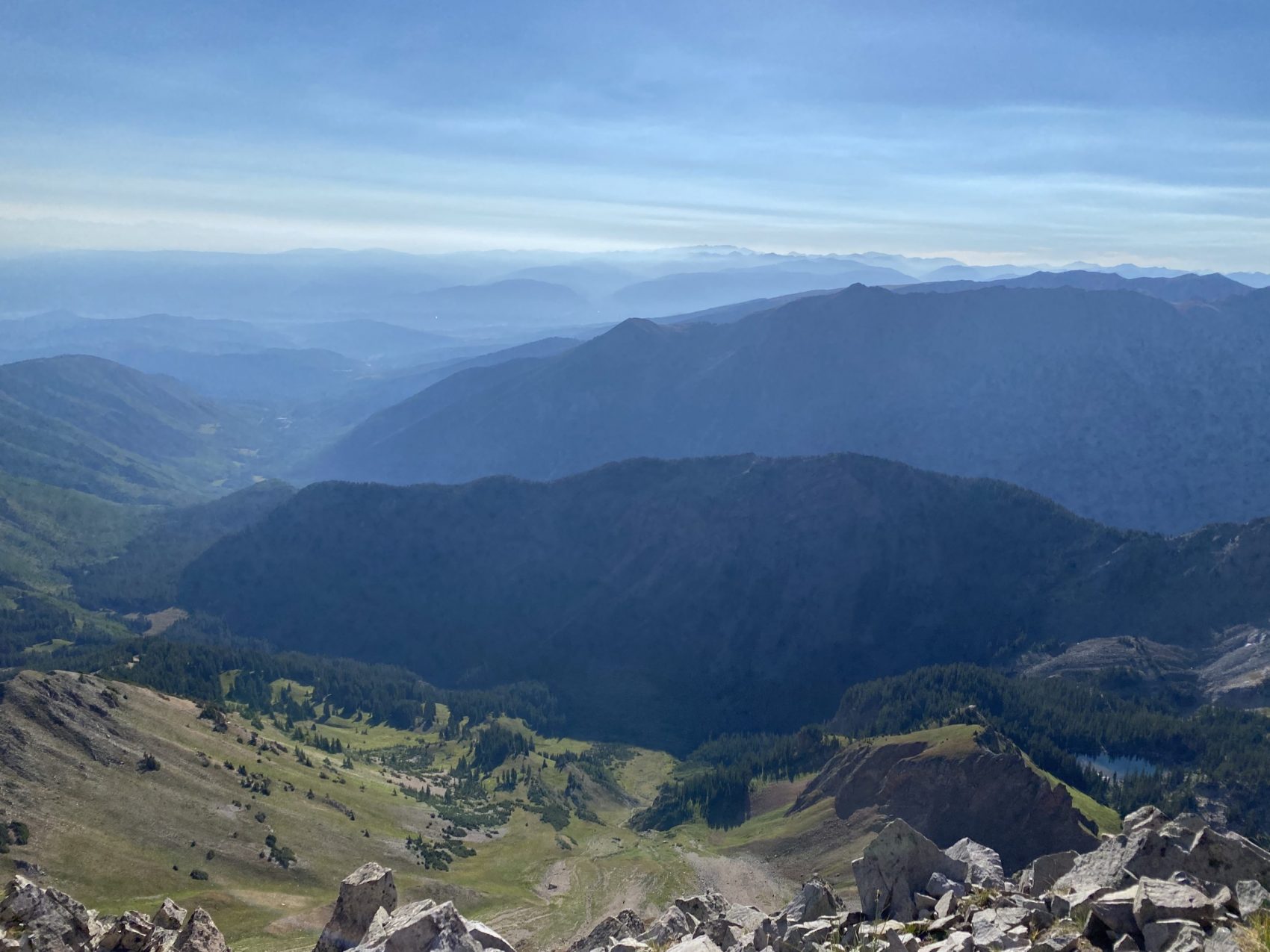
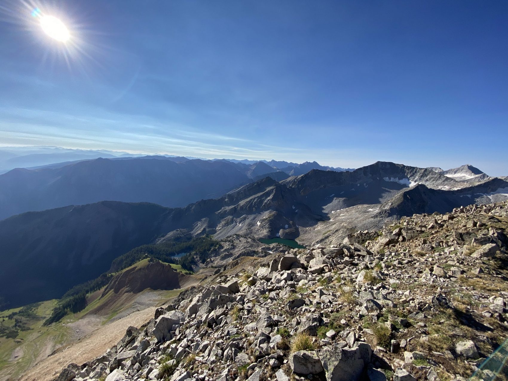
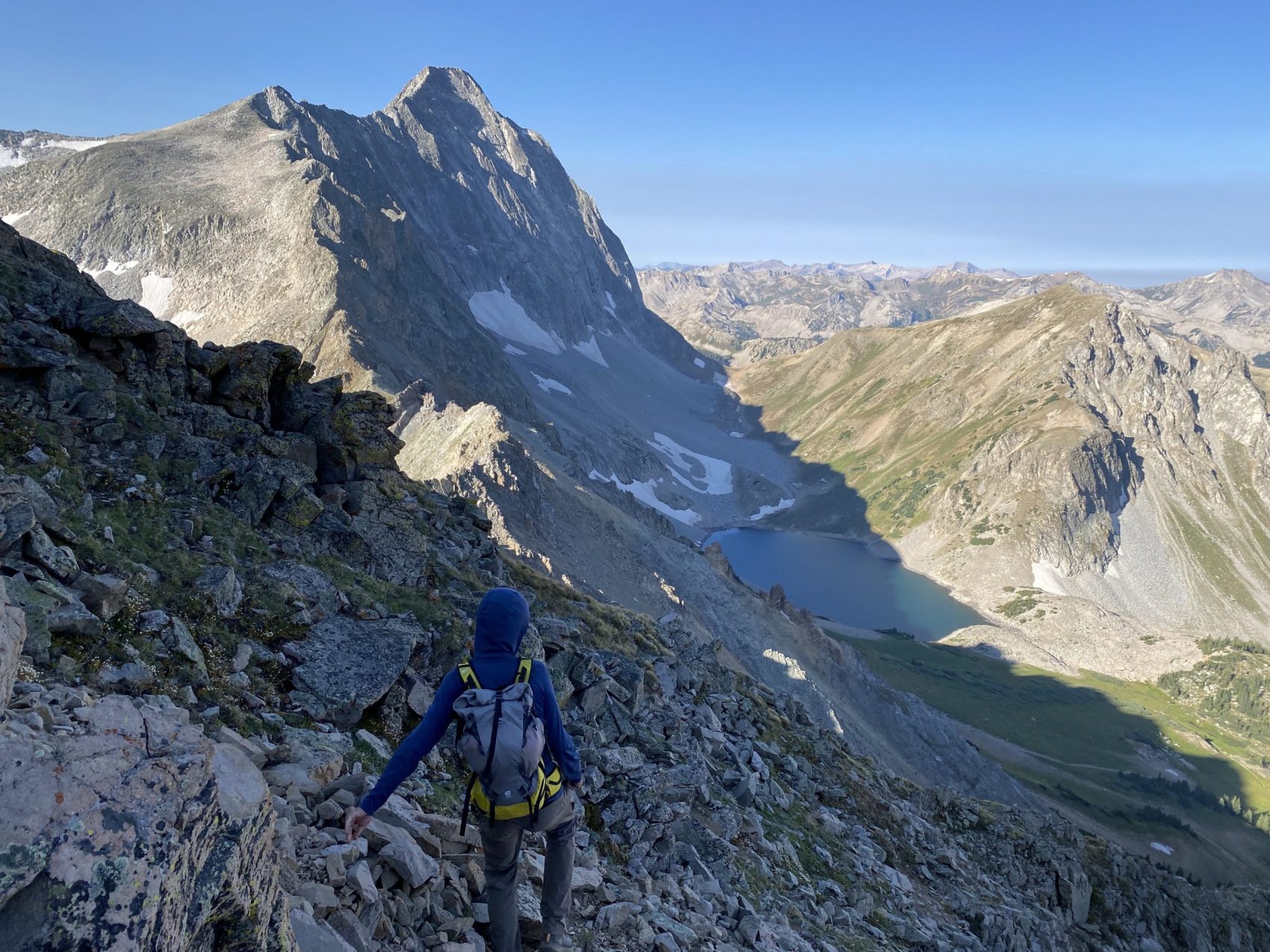
We finally crested the summit at about 8:15 am, 1:30 after we left camp. The views were spectacular 360 degrees around. To the north, you could see down the Roaring Fork Valley, and towards Mt. Sopris and the Grizzly Creek fire that is currently raging along I-70. To the south, you could see down towards Marble and the Southern Elks. The west was the most spectacular. You could see towards all four Aspen/Snowmass resorts, the entire Elk Range, dozens of 14ers, and the entire length of the Sawatch range, from Holy Cross in the north down to the Collegiate Peaks. The smoke from the Grizzly Creek fire created a super cool effect on the mountains.
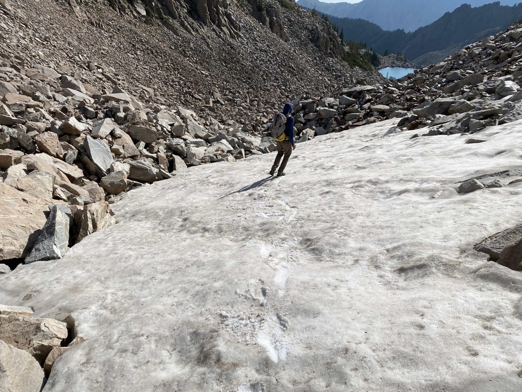
We spent about 20 minutes up top before heading down the South ridge. On our way up, we found a better weakness up the cliffs to the ridge that minimized the possibility of large rockfall. We ended up picking our way down that to the grassy slopes, then back to the boulder fields hanging above camp. We got our camp packed up, filled & purified water, and then began down the West Snowmass Creek drainage.
On the way up to Moon Lake, we had spent lots of time scrambling up rocks. While we still had to do that plenty on the way down, we found a climber’s trail in the trees to the left, which proved to be quite a bit faster and easier. The trail eventually met up with the trail that we had found on the way up, which made getting back down to the avalanche path fast and easy.
Instead of sticking on the east side of the drainage as we had on the way up, we spotted a trail on the west side of the creek that proved to be significantly faster. Instead of spending hours bushwhacking through the forest, the social trail we found allowed us to zip back to the official trail in about an hour. The one annoying part about the trail was the number of downed trees across the trail. Despite the frustration we had with the trees, it was nothing compared to the dense vegetation the day before!
We continued hiking down the official, maintained trail, which was a nice change of pace, even compared to the decent trail down the drainage that we had found that day. The wind direction had changed, and smoke from the Pine Gulch and Grizzly Creek fires had crept their way higher into the mountains. Everything looked hazy, and it got progressively worse throughout the descent. I even started to feel some discomfort in my throat, and that’s coming from a California kid where smoke thick enough to warrant masks is an annual occurrence.
We finally made it back to the car and drove home. Through the smoky haze, I could see Mt. Daly’s silhouette towering over the surrounding valley. It was incredible that I was standing on top just 5 hours earlier.
Mt. Daly South Ridge Details:
- Car 8,300′ at Snowmass Creek Trailhead
- Vertical Climbed 5,000′
- Distance: 16-miles round trip