View this post on Instagram
Big fall-season snow is not good for avalanche conditions later on in the winter. It’s often a recipe for disaster, as explained by Utah Avalanche Forecaster Mark Staples in the video above.
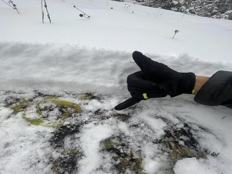
On a quick outing on Mt. Wire, Staples found clues to what’s happening in the snow in Northern Utah’s higher elevations. What he discovered should come as no surprise to anyone who’s been around Utah for a few years or more.
Early season snow on north-facing slopes weakens and facets. The snow on south-facing slopes gets cooked by the sun, either melting away or turning into a melt-freeze crust. As of right now, much of the south-facing snow in the Wasatch Mountains is melting away, posing little concern for avalanche conditions later this winter. But the north-facing stuff isn’t melting—it’s sticking around, increasing the likelihood of a weak layer at the bottom of a snowpack that’s later to come. It’s not a good recipe for stable avalanche conditions and can lead to powerful, destructive slides once a heavy snowpack builds on top of that initial weak layer.
Staples says that a lot will change over the next month or so, and he along with the other forecasters at the UAC will be monitoring conditions as the winter progresses. What happens now can set the stage for avalanche conditions for much of the winter.