Two Incoming Winter Storms
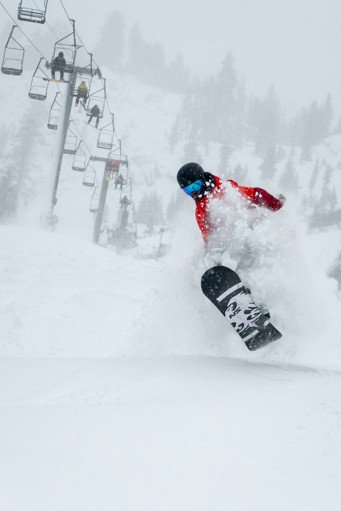
Old Man Winter is finally coming to town in time for the Holidays! Our first major storm of the season will arrive this afternoon and is forecasted to bring multiple feet of snow over the next two days. According to Bryan Allegreto, OpenSnow California Forecaster, “This is a cold storm with high snow ratios of up to 20:1 on the upper mountain that will bring powdery snow. The latest forecast models show enough precipitation to bring 20-30 inches of snow to the upper mountain by Wednesday morning, and 18-24 inches at the base.” This storm will be accompanied by very high gusty winds.
There should be a break in precipitation on Friday, but temperatures will remain cold. Our crews will be making snow all week (conditions permitting) to supplement the natural snow and continue building our base. Another storm may be pushing through Saturday through Monday, potentially bringing a few more feet of snow.
NOAA weather forecast for Olympic Valley, CA
WHAT DOES THIS MEAN FOR OPERATIONS?
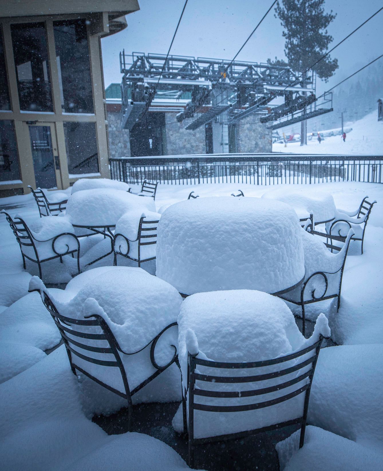
Multiple feet of snow and cold temperatures are a very welcome change for Tahoe weather, but please keep in mind this is our first significant storm of the season! While we have been snowmaking whenever possible to build our base in key areas, there is essentially no snow coverage yet on most of the mountain. The next lifts and trails that we anticipate opening will be where we have been building the base with snowmaking.
Terrain Expansion: What’s Next
Thanks to our incredible snowmaking crews, we are adding Exhibition to the mid-station to the schedule for Wednesday, November 27! Skiers and riders will have access to the lower portion of Julia’s Gold trail.
Next, we will be focusing on Red Dog and Squaw Creek at Squaw Valley. We are also making snow at Gold Coast, and plan to open that terrain once conditions allow. At Alpine Meadows, our crews will be working to widen Kangaroo trail and add Nick’s Run next. We are also making snow on Weasel run off the new Treeline Cirque.
Snow Amount vs. Snow Content
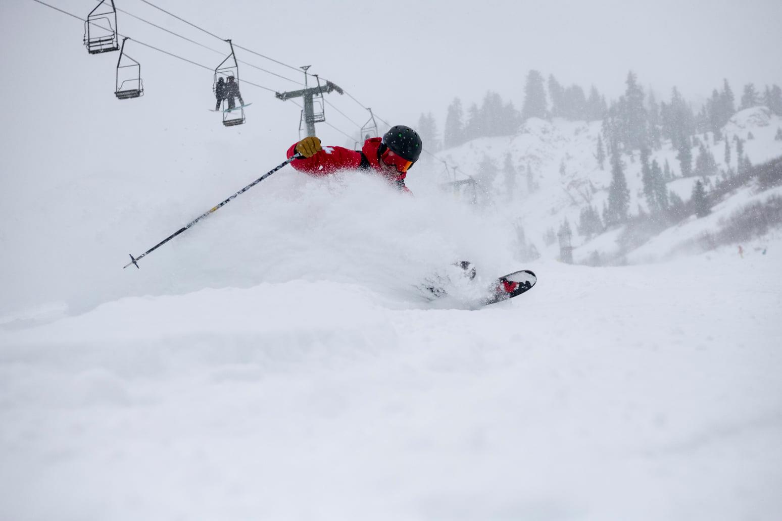
While we are excited for the change in weather and will welcome whatever type of snow we can get, it is important to note how snow content affects early season terrain opening. The first storm coming in today is a cold one, and the snow will have very little moisture content. This means it will be light, fluffy and get blown around quite a bit by the heavy winds. Two feet of light snow will often settle down quickly and seem like a lot less after a day or so. This low moisture content snow will be too light and shallow to safely cover rocks, brush and other natural protrusions in our snow surfaces.
The good news is that the second storm forecasted to begin on Saturday may be a bit warmer and wetter and therefore better for building our base. Warmer storms typically bring snow that is denser with a higher moisture content. The heavier, thicker snow is great for sticking to the slopes and covering surfaces more uniformly.
Our crews will continually be assessing snow surface throughout these upcoming storms, and we hope to open even more terrain as soon as we can safely do so!
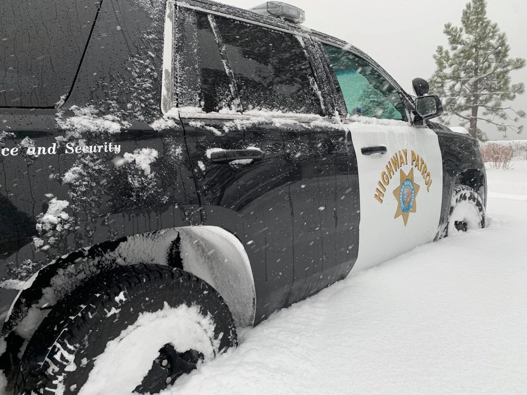
Holiday Travel & Road Information
If you are driving to the mountains for your Thanksgiving holiday, please use caution and plan ahead! Roads delays and closures are likely with the incoming storms (Tuesday afternoon-Thursday and Saturday-Monday). Check these helpful resources:
- National Weather Service Forecast for Squaw Alpine
- NOAA Forecast Discussion
- Caltrans Highway Status
- Caltrans Quick Mapp app
- Truckee CHP Facebook page (real-time road notifications)
If you are driving during a snowstorm, it’s always a good idea to pack extra blankets, gloves, hats, food, water and any needed medication in your vehicle. We do not recommend travel in this type of weather without a 4WD or AWD vehicle. Please travel safely!
