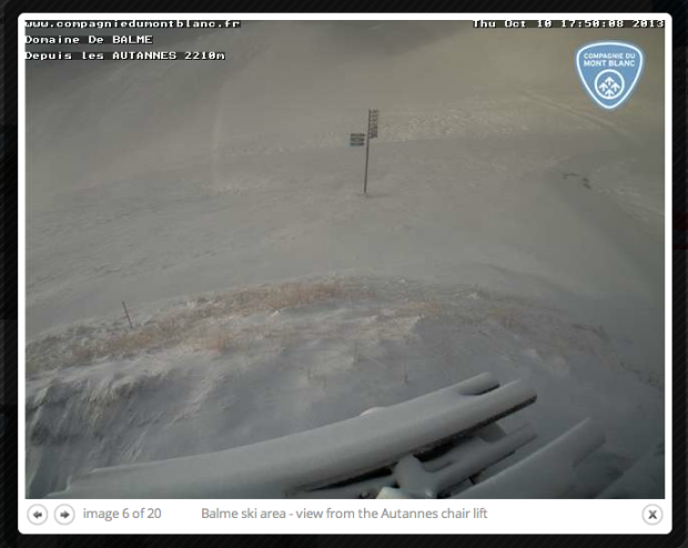
The Alps are forecasted to receive 15 to 30 inches of new snow in the next 3 days. The snow has already begun and we’ve got photos from Chamonix, France to prove it.
9 ski resorts are already open in the Alps, but from local reports, it sounds like only Hintertux in Austria is worth actually skiing at. All the open ski resorts in the Alps right now are only offering skiing on glaciers.
This storm will help with getting skiers and riders off the glaciers and onto non-glaciated mountain terrain.
“The weather in the Alps will change on Thursday afternoon. The front will come in from the northwest and will cause the snowline to drop rapidly (starting in the west) to around 700-1000 meters. The snowline will be around 1900-2300 meters south of the main alpine ridge and in the eastern regions of Austria. But the snowline will drop eventually in those regions during the night from Thursday to Friday. This will be just temporarily in the east.” – wepowder.com
We’ll keep you updated on this storm. After this thing drops its snow and blows through, the Alps are gonna be lookin’ good.


One thought on “15 – 30” Forecasted for the Alps Today & Tomorrow | Weather Maps & Photo Tour”