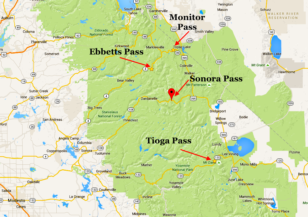
Caltrans District 10 announced yesterday that 8,736′ SR4 Ebbetts Pass is temporarily closed due to incoming winter weather. The highway, home to lots of world-class backcountry skiing, does not currently have an estimated time of reopening.
“Caltrans has temporarily closed State Route 4 from Lake Alpine to the Route 89 junction (Ebbetts Pass) due to an incoming storm. There is currently no estimated reopening time.” – Caltrans District 10 on Instagram
Last year the pass closed for the winter on November 18th and didn’t reopen until June 8th, 2023, after a historically deep winter. Is the incoming snowfall a sign that Ebbets Pass will soon close for the winter? Will this winter be as strong as last year’s? These are questions that Mother Nature will soon answer for all of California’s mountain passes.
About Ebbetts Pass
According to Wikipedia, Ebbetts Pass (el. 8,736 ft or 2,663 m), named after John Ebbetts, is a high mountain pass through the Sierra Nevada range in Alpine County, California. Ebbetts is the eastern of two passes in the area traversed by State Route 4. The western pass is the Pacific Grade Summit (el 8,050 ft or 2,450 m). The pass is registered as a California Historical Landmark. The Pacific Crest Trail, a 2,650-mile (4,260 km) long National Scenic Trail, crosses State Route 4 at Ebbetts Pass.
Caltrans District 10 manages three trans-Sierra passes in the central Sierra that are closed during winter and generally open in spring: Ebbetts Pass/SR-4 in Alpine County, Sonora Pass/SR-108 (Tuolumne County), and Monitor Pass/SR-89 (Alpine County). Monitor Pass opened on May 12th, but Sonora Pass and HWY 120 Tioga Pass (Caltrans District 9), the eastern entrance to Yosemite National Park, remain closed.
Highway 108 over Sonora Pass leaves Hwy 49 in Sonora, CA, and rolls about 50 miles up to the Tuolumne/Mono County line at 9624′, before dropping 16 miles down to Highway 395 at Sonora Junction north of Bridgeport, CA. Highway 108 provides access to Dodge Ridge Ski Area, Eagle Meadows, Kennedy Meadows, Sonora Pass, and Leavitt Lake, all providing jumping-off points for backcountry skiing. Above Kennedy Meadows, this is a steep, winding, narrow, two-lane road.
Highway 4 over Ebbetts Pass leaves Highway 49 in Angel’s Camp, CA, and travels 61 miles from Arnold, CA, over the 8736′ pass to Markleeville, CA. You can access Highway 89 to Highway 395 over Monitor Pass before you get to Markleeville. Highway 4 accesses Bear Valley Mountain Resort, Lake Alpine, Highland Lakes, and Ebbetts Pass. Above Lake Alpine, this is a steep, narrow, winding road, often with only a single lane. The current west side closer is at the east end of Lake Alpine, with crews clearing to near Mosquito Lake.
For the latest information on road conditions throughout District 10, follow them on Twitter (@CaltransDist10) or Facebook (CaltransDistrict10).