This is a guest post written by Eddy van der Kloot, mapmaker and owner of Backcountry Ski Maps
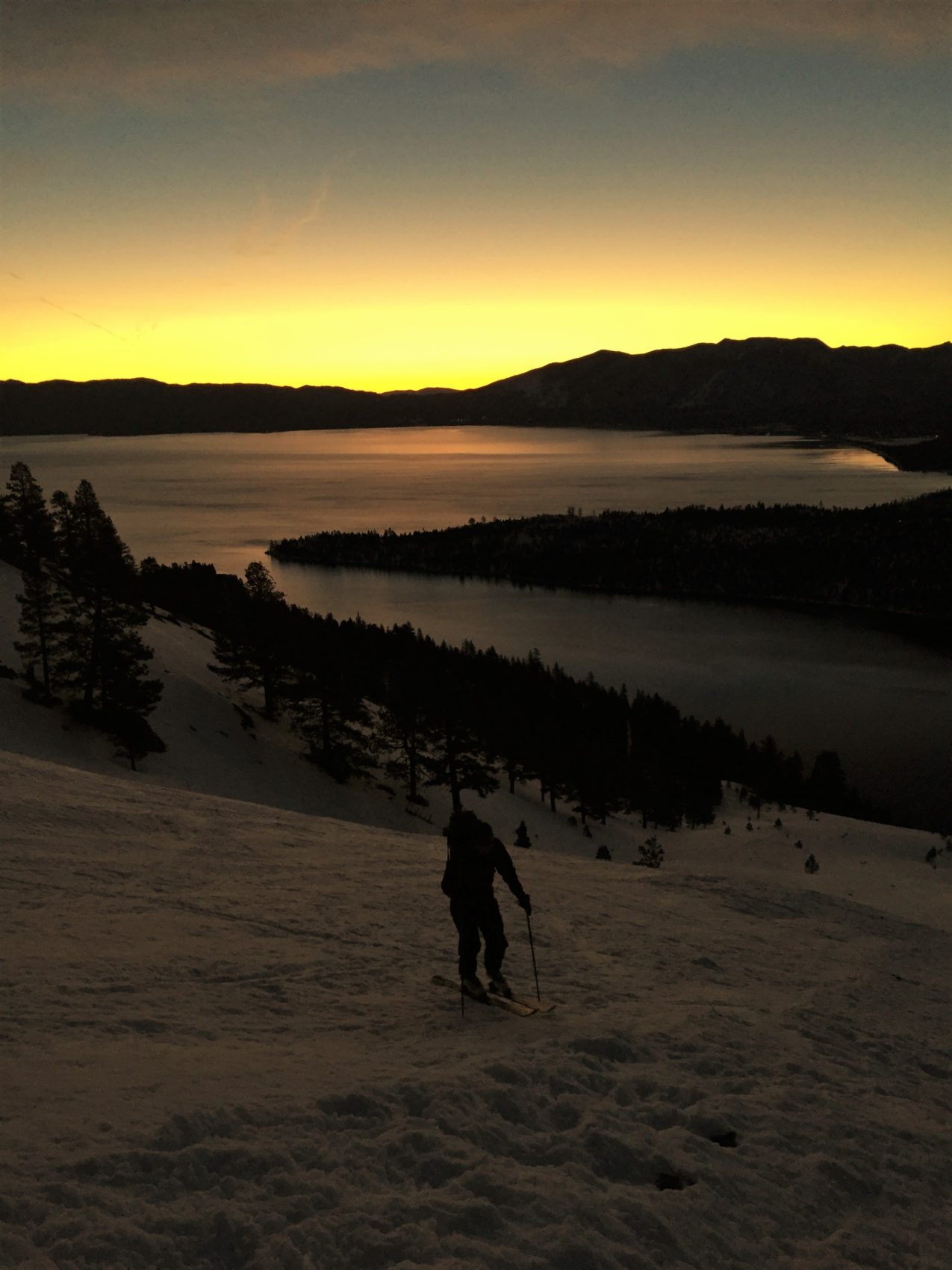
Lake Tahoe is home to some of the finest backcountry terrain in the world, and while locals might argue over whether Truckee or South Lake has the best touring, the truth is that you can’t go wrong with either side of the Lake.
Here are five of the best descents accessible from South Lake Tahoe, in no particular order:
Jake’s Peak – East Slopes
No list of tours around Lake Tahoe would be complete without a mention of Jake’s. The Northeast Trees are a mid-winter classic, while the East and Southeast aspects are some of the most popular descents in Tahoe come Springtime. Rising directly out of the lake, the summit of Jake’s has one of the finest views around – with Lake Tahoe sprawling on one side and Tallac and the Desolation Wilderness on the other.
Make sure you arrive early to get a parking spot. It’s well worth the effort for nearly 2,500 vertical feet of stellar skiing on your way down!
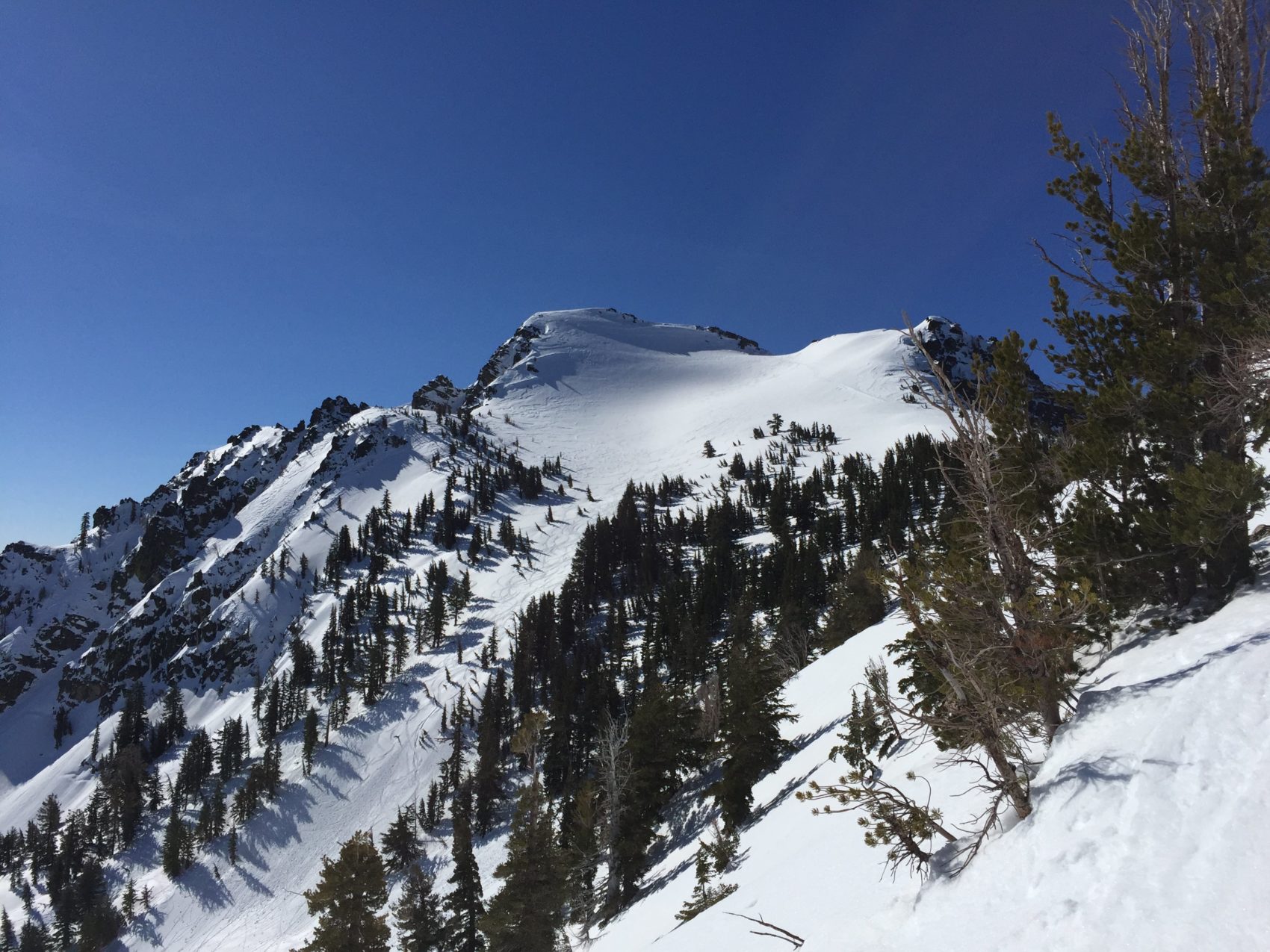
Waterhouse Peak – Northeast Glades
Waterhouse just might be home to the finest storm day terrain in North America. With a primarily Northeast aspect, and big, well-spaced old-growth forest covering most of its slopes, Waterhouse is the perfect trip during a storm. A short approach only sweetens the deal.
Because of the aspect, elevation, and tree cover, snow here tends to be of great quality during the monster storms that hit the Sierra. If you’re looking for pow, Waterhouse is the place to be.
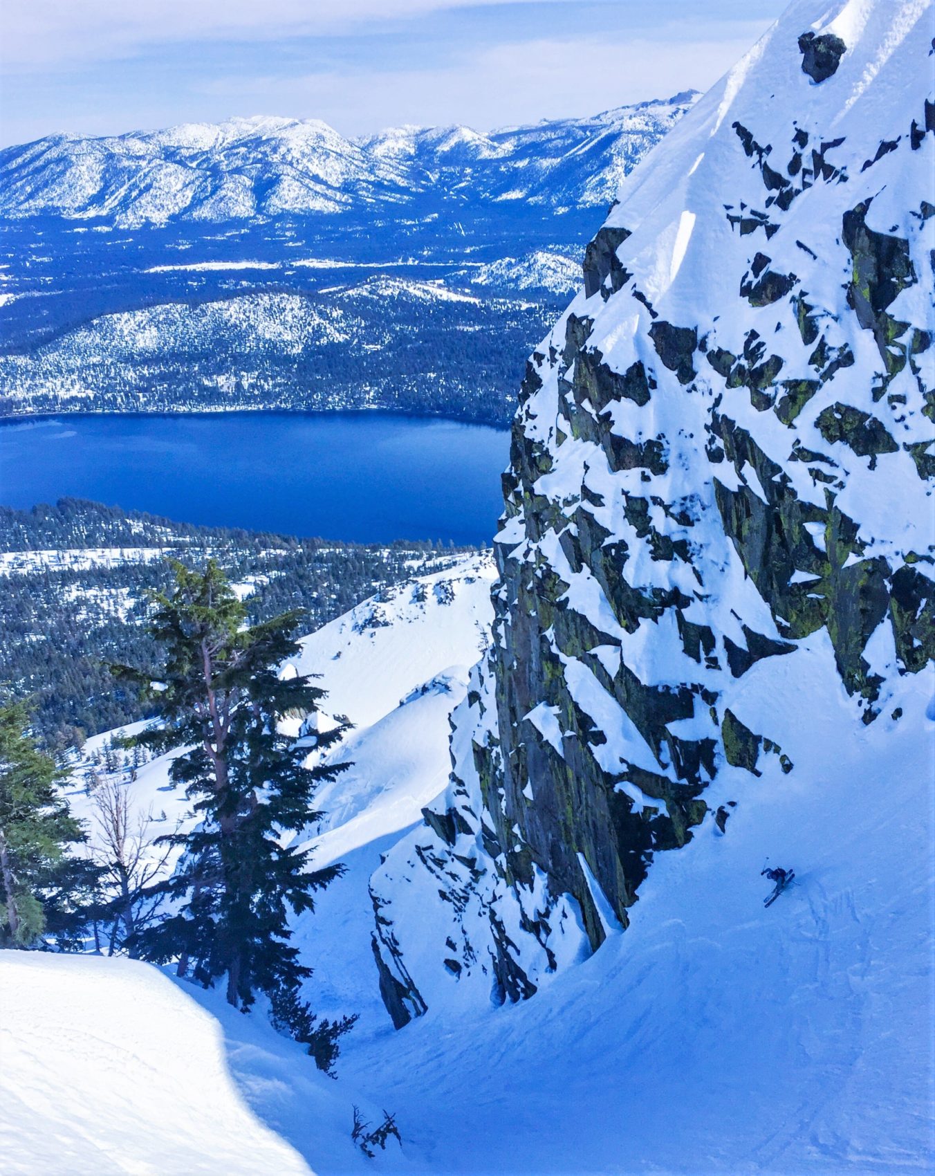
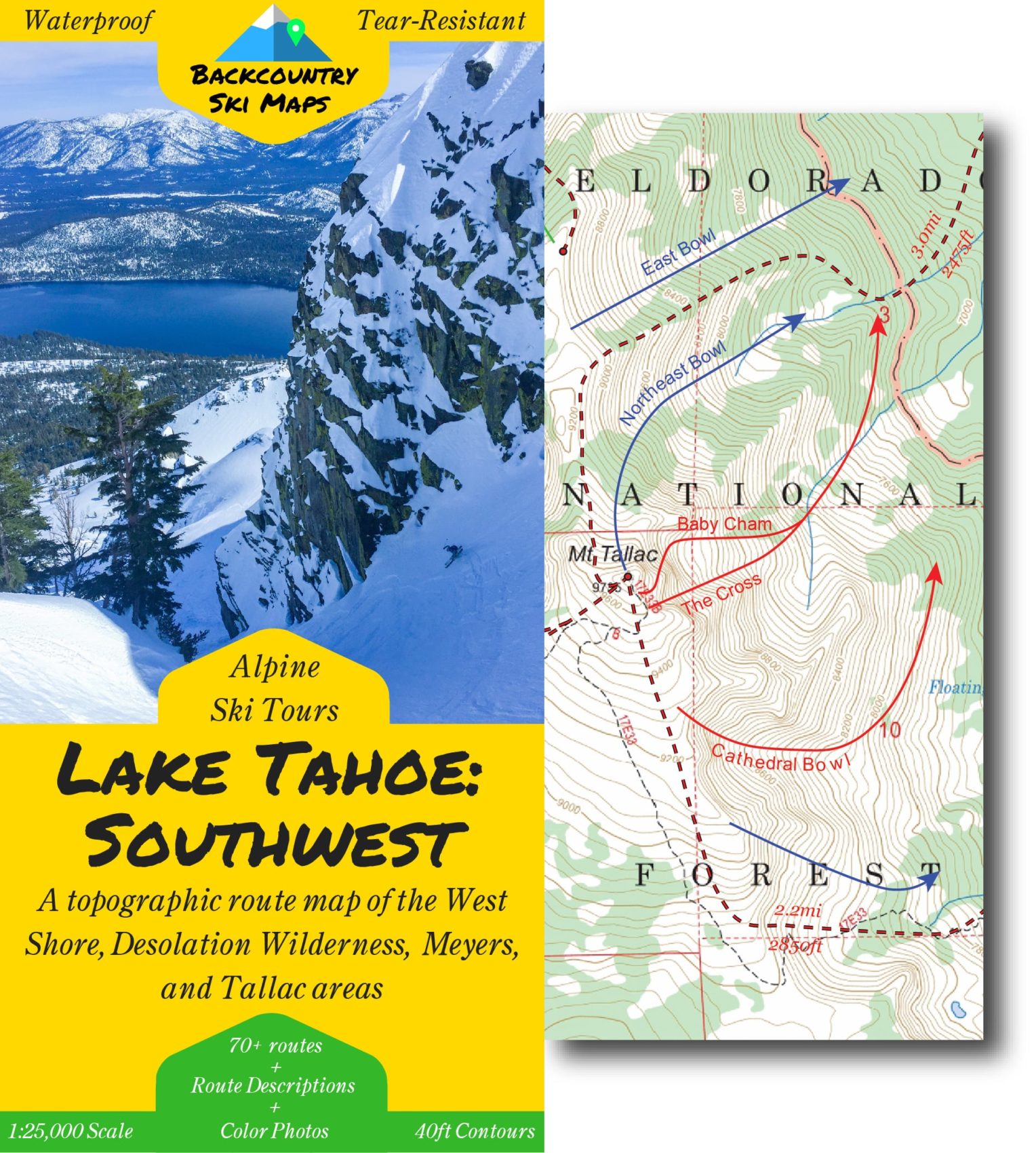
Mount Tallac – The Cross
Mount Tallac is one of the most prominent peaks around Lake Tahoe, and its prize run, the Cross Couloir, is ever-present when walking the streets of South Lake Tahoe – which means you can boast to your buddies and point out what you skied over après beers.
The Cross is such a ubiquitous line that it is featured as the cover photo of the new Lake Tahoe ski touring map, available now at: https://backcountryskimaps.com/tahoe-southwest
With a slope of around 45 degrees, the Cross is not for the faint of heart, so make sure you know what you’re getting into before you make that first turn in!
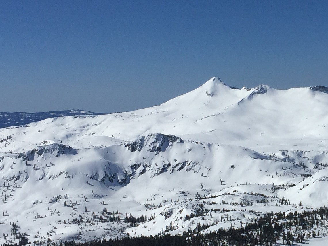
Pyramid Peak – North Face
Anyone who skis regularly in the Tahoe Basin will be familiar with the sight of Pyramid Peak looming distant on the horizon. But despite its aesthetics, this picture-perfect mountain doesn’t see as many skiers as you’d expect.
The peak is remote and requires a long approach regardless of which direction you come from. Unless snow levels have been low, the approach often requires walking on dirt in order to hit the snowline. But it’ll all be worth it when you top out on the summit, towering over Lake Aloha and the rest of the Desolation Wilderness.
If it isn’t too wind affected, ski the steep and open North Face for the ultimate run. Otherwise, head out to the East Face in search of better snow.
Mount Tallac – Northeast Bowl
If the Cross is too much for you to handle, you can still enjoy the splendor of Mount Tallac by skiing down its “trade route,” the Northeast Bowl. You’ll get all the same views and likely better snow – since the bowl’s shape means you can fish around for the best conditions.
The top few hundred feet are steeper before opening into a mellower section of the bowl where you can really start to open up your skiing. With more than 3,000 feet of vertical drop and skiing starting at the summit, your legs will surely be sore after this one.
If you’re interested in learning more about these lines and many more in the South Lake Tahoe area backcountry, check out the new Lake Tahoe: Southwest ski touring map/guide, available at local retailers and online in both paper and digital format at https://backcountryskimaps.com/tahoe-southwest. The topographical map shows approach and descent routes and has photos and guide text on the back to get you to some of the best lines in the zone.