The first surveys of 2019 revealed the basin snowpack is below normal, especially on the North and East shores of Lake Tahoe with the Mount Rose SNOTEL site at 57 percent of the median for the season, writes Bill Rozak for the Tahoe Daily Tribune.
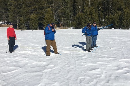
Natural Resources Conservation Service hydrologist Jeff Anderson took four samples Wednesday, Jan. 2, from the “snow pillow” that measured the snow level being 30 inches deep at 8,800-feet.
“It’s not very good, 57 percent is not good on a report card — it’s a failing grade,” Anderson said. “We’re not quite where we want to be, but the snowpack overall is much better than last year. The East and North shores have missed some of the storms that have come through.”
The Mount Rose area had a deeper snow depth last year (35 inches), was at 80 percent of median and was enjoying the most snow in the basin. At the same time, lower elevations were bare with most of those storms delivering rain at lake level. Kirkwood Mountain Resort remains the only ski and riding area 100 percent open with Sierra-at-Tahoe nearly there.
“This area does not reflect other areas which are close or above normal, so it’s a little misleading,” Anderson said. “But we’re still very early, about one-third of the way through the snow season.”
On 3rd Jan, the Sierra snowpack was measured at 25.5 inches deep, 80 percent of normal with a snow water equivalent (SWE) of nine inches. These figures are 36 percent of the April 1 average, the date used as the maximum snowpack that will be received in the mountains. In January of 2018, water officials found just three inches of snow to measure in the same spot they measured today. A year ago the snow depth was just 3 percent of average with a SWE of 0.4 inches.
“A stark contrast with last year,” said John King, DWR water resource engineer. “The season is still early, anything is possible between now and May.”
Statewide, the snowpack is at 67 percent of normal based on data supplied by the snow sensor network. About half of the annual precipitation for the state comes between December and February.
The State Climatologist Dr. Michael Anderson told those gathered at the official measurement reading that temperatures are running two to four degrees Fahrenheit warmer than average, which is what they had forecast.
