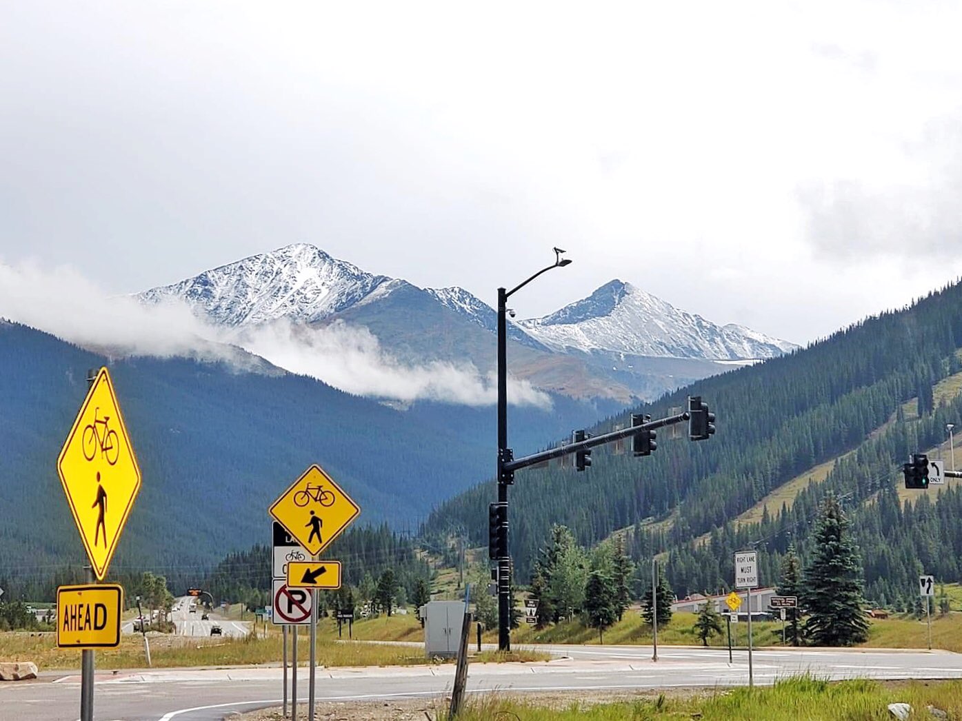
Old Man Winter, that you already? The end-of-August cold front sweeping into Colorado right now has brought with it a few flakes of snow for high elevation mountain areas above 11,000 feet. Aspen Snowmass reported a small but significant dusting of snow on some local peaks Saturday Morning.
August 29. Mark it down – FIRST SNOW on the high peaks this morning and some much needed rain in the valley. Who else is stoked?! @jswansonphoto couldn’t sit still. pic.twitter.com/qr3LJaOOd7
— Aspen Snowmass (@AspenSnowmass) August 29, 2020
Resort staff at Copper Mountain also awoke to a pleasant surprise Saturday morning when they saw that the area’s high peaks were covered with a new layer of white stuff.
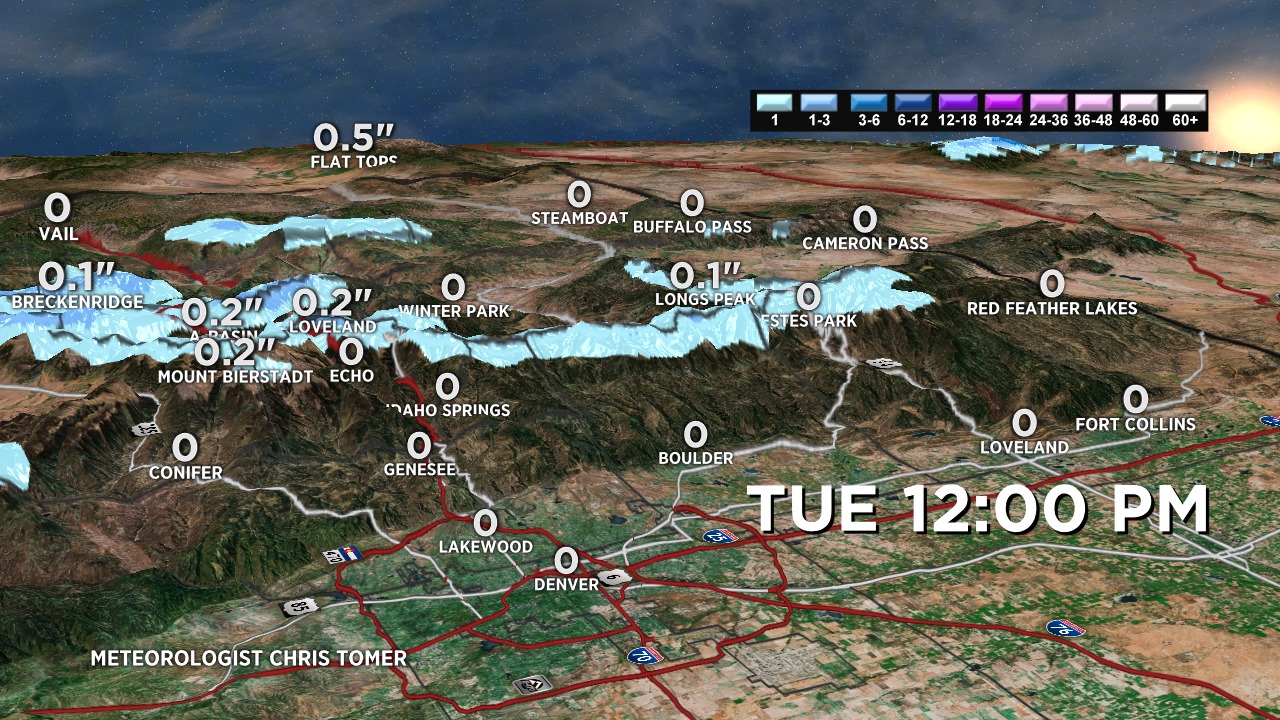
But it doesn’t stop there — more snow is forecast for high elevation areas in Colorado tonight, Monday, August 31. Colorado Meterologist Chris Tomer wrote in a social media post:
“Tonight’s cold front may dust the 14ers. [ It’s the] First time this season I get to use my 3d snow forecast map. Notice the tiny ribbon of blue on the very highest terrain (image below).”

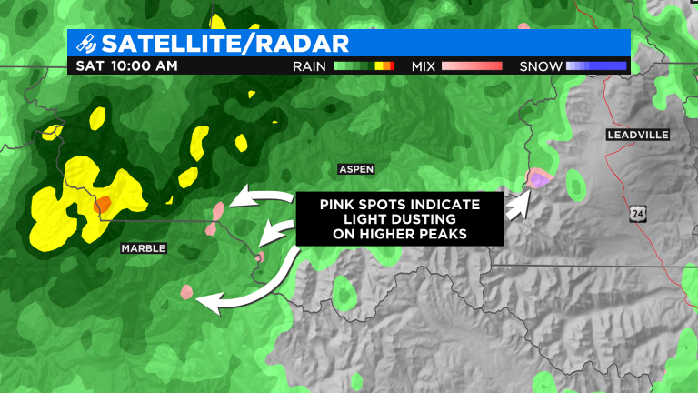
Composite radar from Saturday morning shows the rain showers soaking down a few areas of western Colorado, according to CBS Denver. On the radar picture below the pink dots indicate snow or rain mixed with snow on some of the high mountain tops.

Any snow Monday night likely will not stick at lower elevations. However, a light dusting is possible at elevations above 12,000 feet with up to an inch or two above 13,000 feet. And for Denver, snow is still roughly five weeks away since snow usually falls in the Mile-High City for the first time of the year in early October.
Winter is almost here!
Summer snow in Colorado forecast tonight (via @JessySnouwaert)https://t.co/J8BJDgshbp#cowx
— The Gazette (@csgazette) August 31, 2020