Death Valley, CA, saw the highest daily average temperature ever recorded on Earth on Sunday as the punishing heatwave continues in the west.
At dawn on Sunday, the low temperature in Death Valley was 107.7ºF, the highest minimum ever recorded in North America. By the end of the day, the temperature had reached a high of 128.6ºF, producing a daily average of 118.1ºF––the highest ever recorded on the planet.
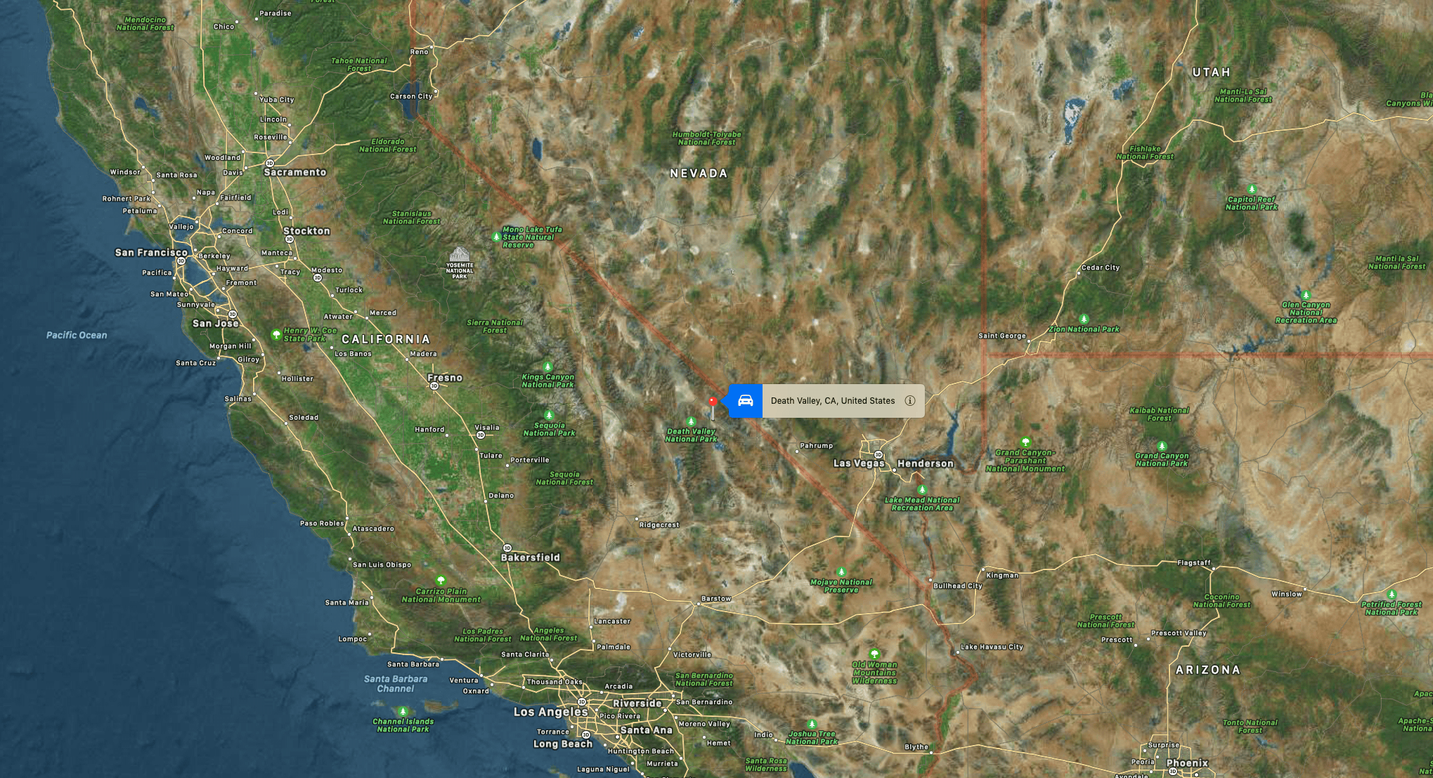
The temperatures were measured at the Stovepipe Wells weather station in the northern part of the national park.
The morning’s low of 107.7ºF was the second-highest minimum temperature ever recorded on Earth, second only to Quriyat, Oman, which never dropped below 108.7ºF on June 26, 2018.
Death Valley’s dramatic landscape ranges from 282 feet below sea level to 11,049 feet above. This landscape causes Death Valley to be hotter than Lone Pine, Pahrump, or other surrounding areas. Clear, dry air and minimal plant coverage mean there’s little to block the sun from heating the ground. Heat radiates from the ground back into the air. Hot air rises but is trapped by the steep mountains and recirculates to the valley floor, which is 282 feet below sea level. Then the heating continues.
Park rangers say it is possible to visit Death Valley safely in the summer. The park’s extreme heat attracts people seeking to experience a temperature hotter than they ever have before. Limit heat exposure by not walking more than 5 minutes from an air-conditioned vehicle. Travel on paved roads where your vehicle will be found in case of a break-down. There is no cell phone service in most of the vast park. Rescues are not always possible because park rangers cannot safely work for extended periods in the heat, and helicopters cannot get sufficient lift at high temperatures.
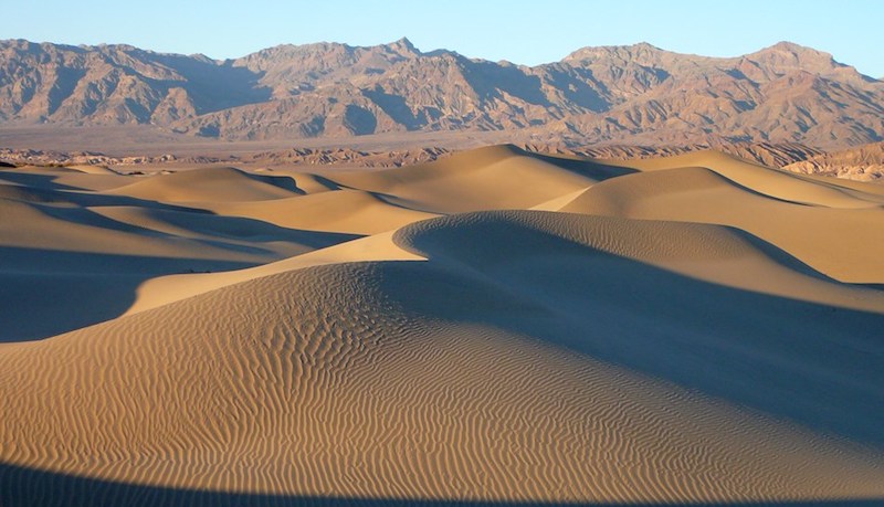
Death Valley is a desert valley in Eastern California, in the northern Mojave Desert, bordering the Great Basin Desert. It is one of the hottest places on Earth during summer, along with deserts in the Middle East and the Sahara.
Death Valley’s Badwater Basin is the lowest elevation in North America, at 282 feet (86 m) below sea level. It is 84.6 miles (136.2 km) east-southeast of Mount Whitney, the highest point in the contiguous United States, at 14,505 feet (4,421 m). On the afternoon of July 10, 1913, the United States Weather Bureau recorded a high temperature of 134 °F (56.7 °C) at Furnace Creek in Death Valley, which stands as the highest ambient air temperature ever recorded at the surface of the Earth. This reading, however, and several others taken in that period, a century ago, are in dispute by some modern experts.
Lying mostly in Inyo County, California, near the border of California and Nevada, in the Great Basin, east of the Sierra Nevada mountains, Death Valley constitutes much of Death Valley National Park and is the principal feature of the Mojave and Colorado Deserts Biosphere Reserve. It runs from north to south between the Amargosa Range on the east and the Panamint Range on the west; the Grapevine Mountains and the Owlshead Mountains form its northern and southern boundaries. It has an area of about 3,000 sq mi (7,800 km2). The highest point in Death Valley National Park is Telescope Peak, in the Panamint Range, with an elevation of 11,043 feet (3,366 m).