Report from January 15, 2024
After the incredible storm system of the past week, I couldn’t help but double dip with a second weekend trip to the Ski Bowl area. The road from Portland to Sandy was mostly clear with snow in the middle and frozen slush on the shoulders. Heading up the pass, road conditions deteriorated to packed snow on ice. Multiple trucks tried to ascend the pass without chains and had failed, resulting in a narrow road for everyone else.
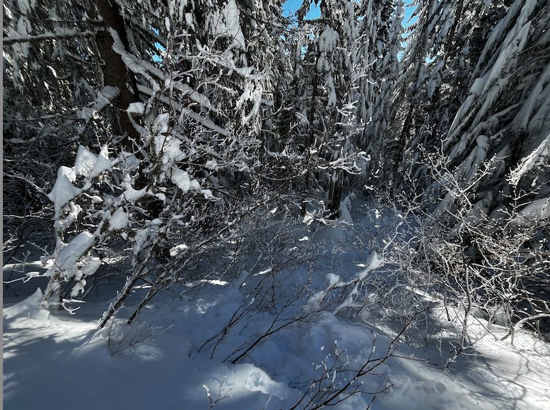
On Friday, I scouted Tom Dick and Harry Mountain as well as Ski Bowl’s out-of-bounds terrain with the notion that I would head east from Ski Bowl when I returned in a cold storm. Monday was that day. Accordingly, I dropped off Ski Bowl’s east ridge toward the hills behind Trillium Lake. The terrain down there is absolutely epic— downed logs, trees, brambly forest— enough stuff in which to lose oneself. Notably, the feared ice crust was in effect at higher altitudes. From the top of Ski Bowl, there was anywhere from a half-inch to two inches of ice atop one to two feet of powder. During my descent, open east-facing slopes had only a dusting of ice. Treed areas that were protected from the wind were pure powder. Treed areas with trees that had sluffed their ice were murderously frozen, almost impossible to ascend. It was a thrilling descent, reading the trees and finding technical lines.

The route back up was one of my more technical low-altitude tours; my goal was to retain some idea of where I was to have a good route back. The line down was stunning: untouched powder glades (which sometimes were not powder, and were ice on powder). The further I descended, the better the turns were. But it never ceases to amaze me how I can consume terrain on the way down that I balk at while ascending. Even so, some perseverance allowed me to find a way back up. At the end of lap one, I am comfortable certifying the area east of Ski Bowl as an amazing tour for tree lovers like myself.
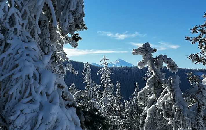
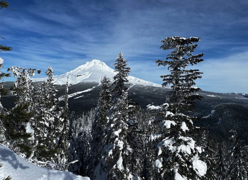
Back at the top, the views were fantastic. I caught glimpses of Mt. Adams and Mt. Rainier to the north and Mt. Jefferson to the south, all resplendent in the sunlight between storms.
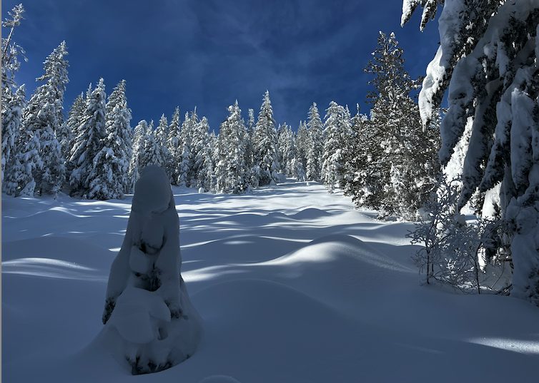
I took another lap and the conditions were so prime I almost forgot I promised to be home before dark. I will be thinking about these wending lines through the glades until the weather clears again.
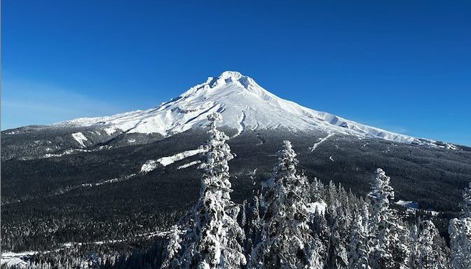
Mt. Hood was looking so glorious I had to take another picture. As I made a final descent, clouds were gathering, preparing for the next storm system that is due to arrive Monday.
The forecast calls for more precipitation incoming for the PNW (including a massive ice storm for Oregon and SW Washington). Let’s just all pray that it remains snow in the hills.


Mt. Hood Ski Bowl’s resort conditions as of 1/17/24. (Source: Ski Bowl)
As always, if you want to see the paths I took, drop a comment and I’ll send you my Strava. For reference, this tour was a little more than 4,000 vertical feet and nine miles.