** Report From 1/19 **
The day began at Kirkwood with high hopes of fresh powder… a supposed 3.5 feet of fresh. Our only concern was weekend lift lines.
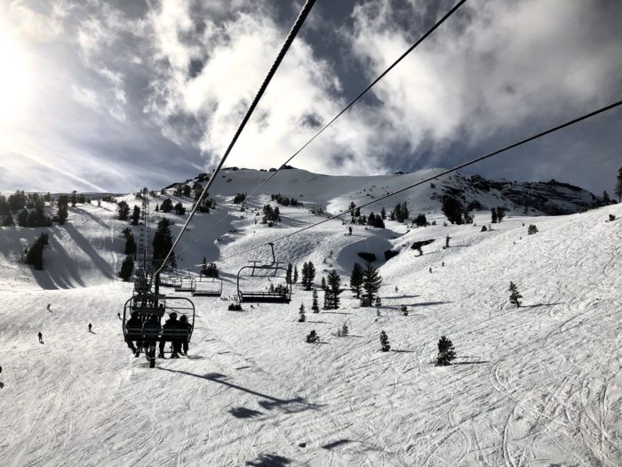
While traveling up the Cornice Express Lift #6 we first heard edges scraping. As soon as we exited the lift, a frozen cat track greeted us. It had rained, and that rain from the day and night before had frozen, transforming the mountain top to bottom. Familiar chutes and couloirs were filled in nicely, but an unrideable icy crust covered the surface.
Not giving up in our search for rideable snow we ventured further into southern and western aspects of the ski area. Mid-morning, a progression of ice, crust, and cement-like snow greeted us. The lower we dropped the heavier the snow got. Yet we could already tell that the day’s temperatures were changing the snowpack.
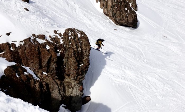
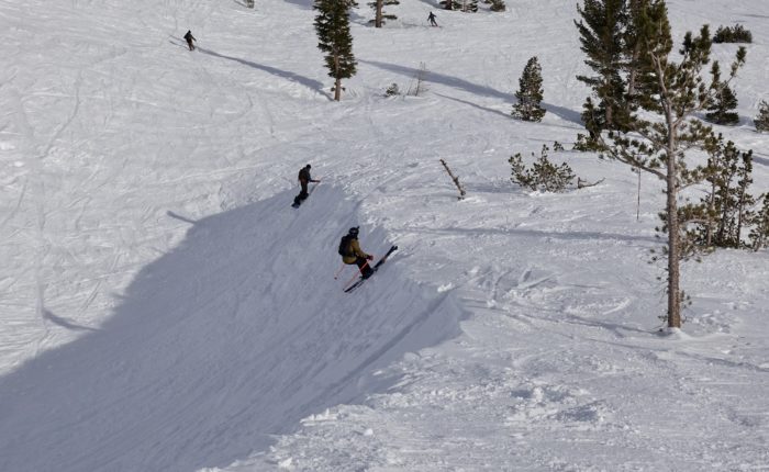
Later in the day, we dropped into a southern aspect of Kirkwood’s back side. Suddenly we found that the crust had largely dissipated leaving spring like crud to blast through. The day really began once the sun softened up the slopes!
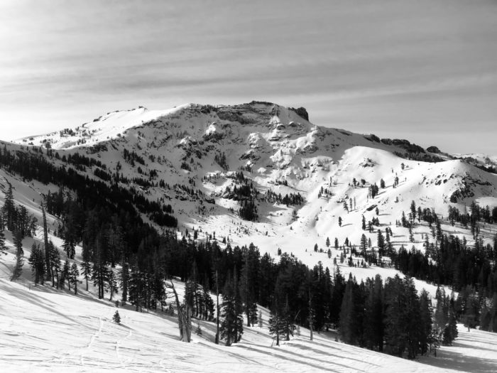
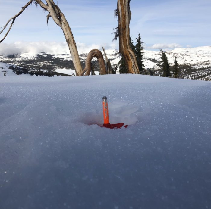
With several feet of snow, Kirkwood has a great base all over the mountain. Although there are some weak layers in the snowpack, the snow has compressed significantly with the rain, leaving good coverage for future snow. Hopefully, temperatures stay colder.
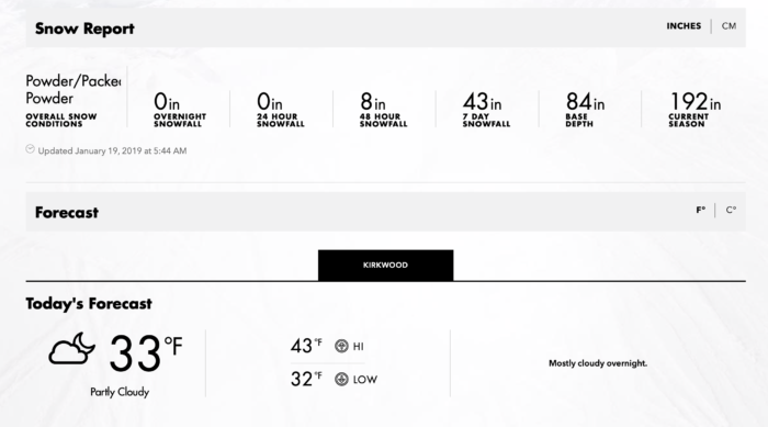
Snow Numbers:
Forecast:
NOAA predicts:
- Another large storm is supposed to hit the area on Sunday, a Winter Storm Warning will be in effect.
- 14″-20″ of Snow are predicted Sunday with 13″-19″ predicted Sunday Night at about 8300ft. Snow might be “heavy at times”
- Temperatures on Sunday will range between a high of 38 and low of 21 (degrees Fahrenheit)
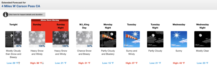
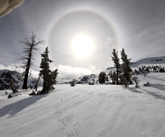
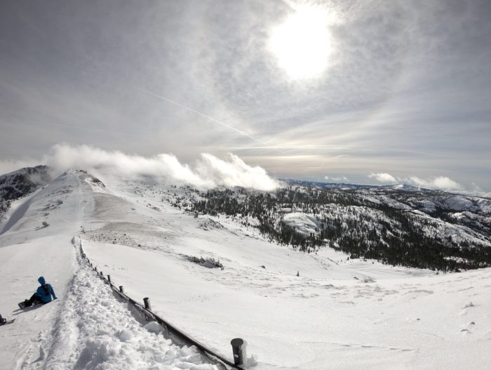
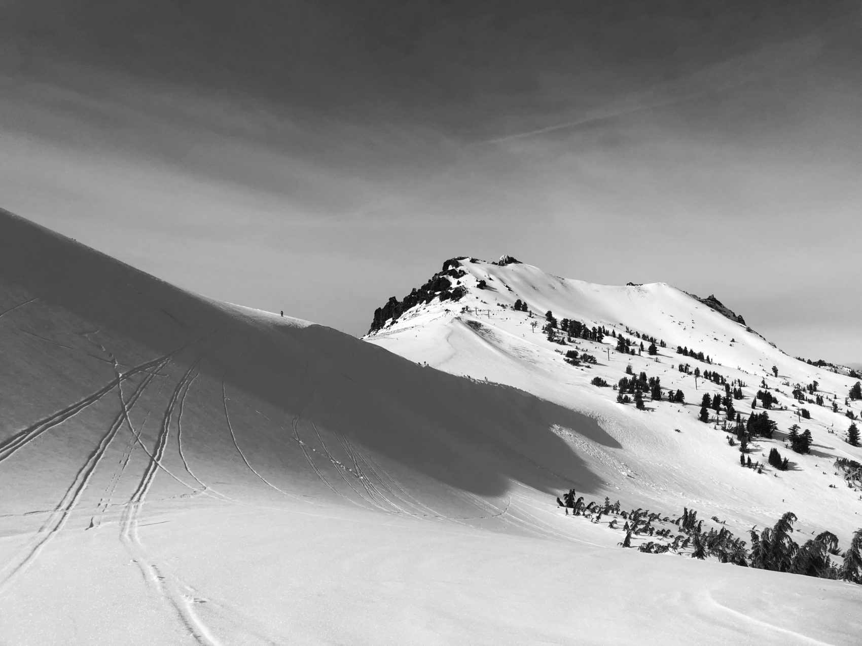
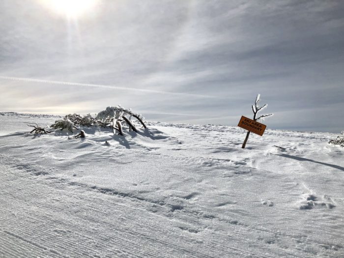
Photo Tour: