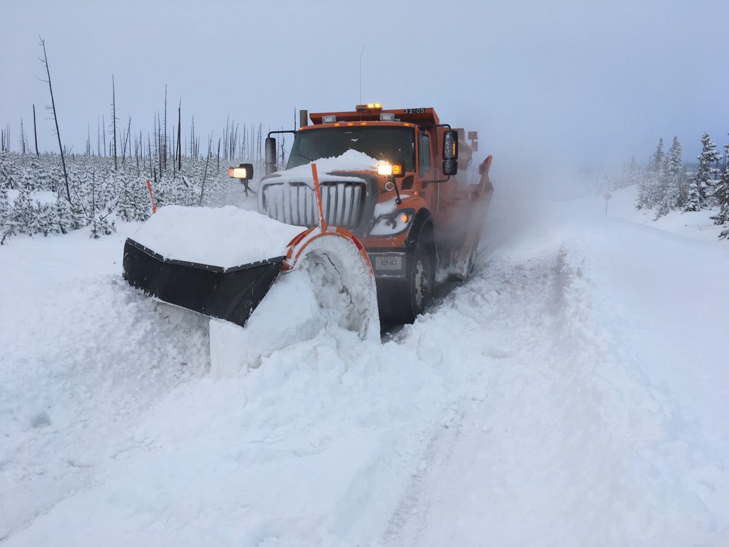
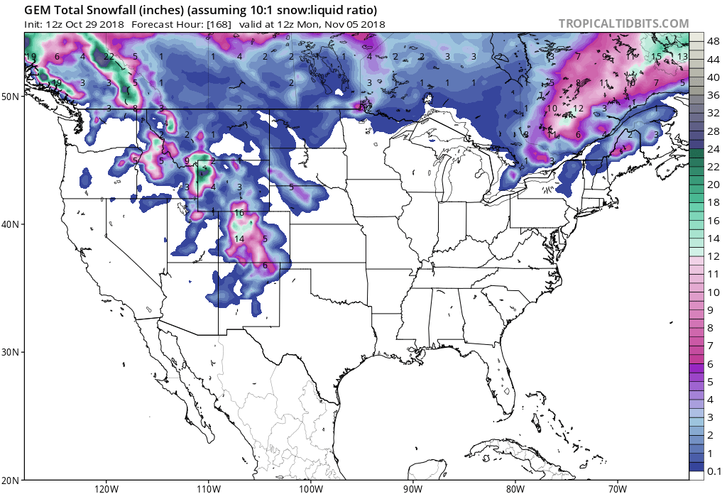
The National Weather Service is calling for multiple rounds of snow for Montana within the next week. The biggest of which will be Wednesday morning – Friday morning, where up to a foot of snow cold fall in the mountains. It will be followed by another round Friday night – Saturday and yet another Sunday – Monday.
“This northwesterly flow will also favor a period of moderate to heavy snow accumulation over the Bridger and Madison ranges, with initial guidance suggesting up to a foot of new snow possible over the 48 hour period from Wednesday morning through Friday morning. Precipitation tapers on Friday, but then another strong Pacific system arrives Friday night into Saturday, with yet another system Sunday into Monday.”
– NOAA Great Falls, MT Today
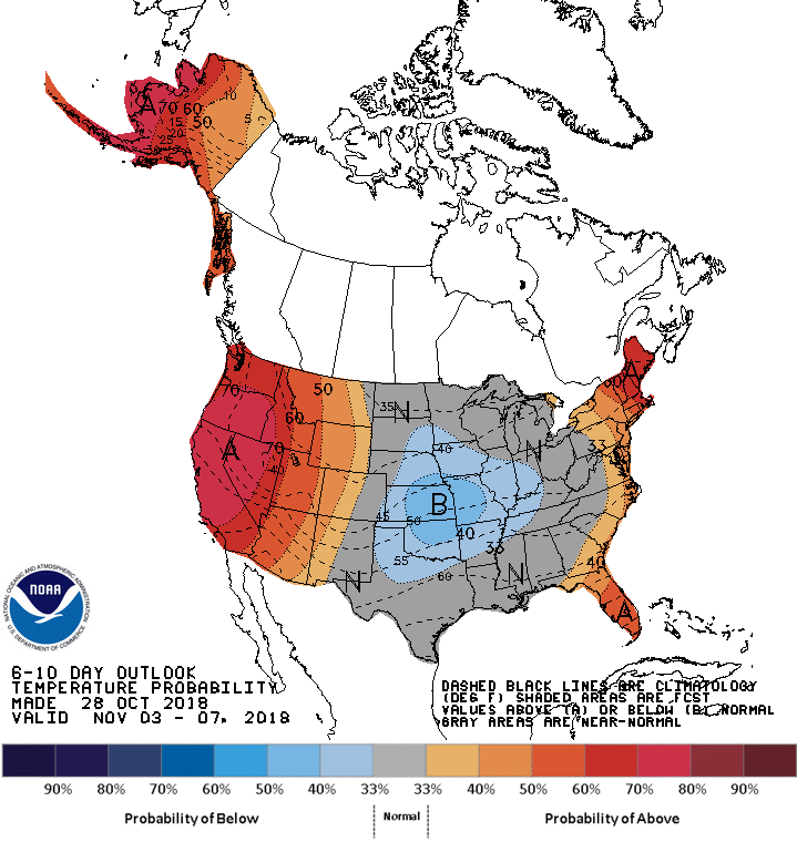
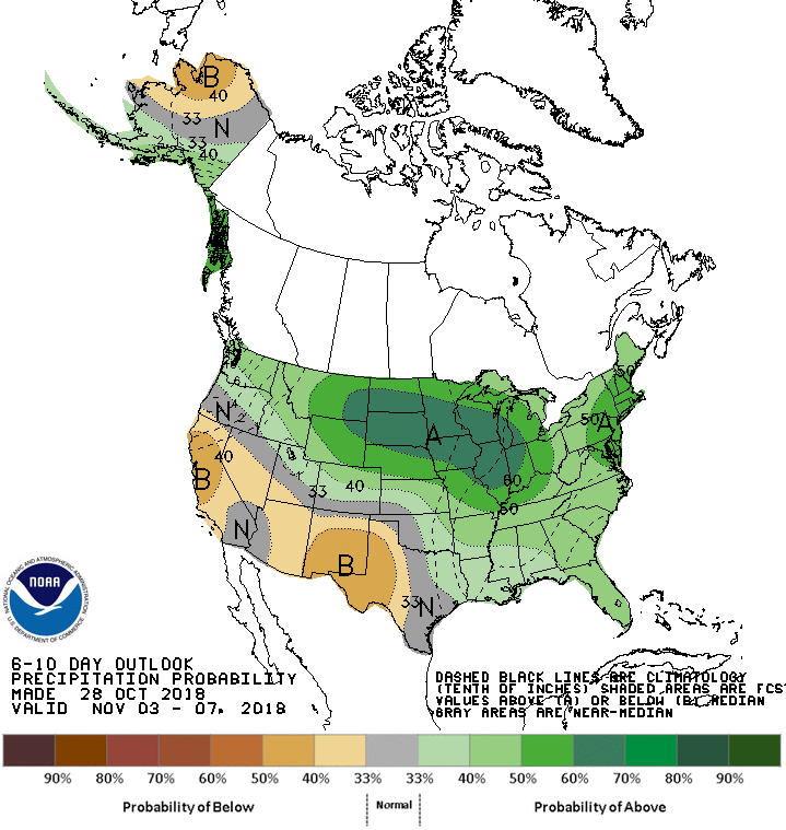
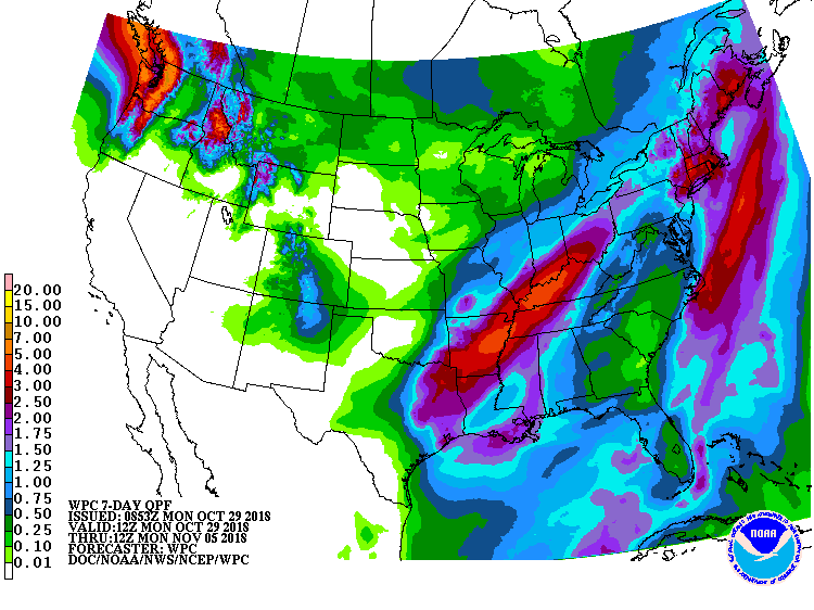
The 6-10 day outlook calls for above average temperatures and above average precipitation in Montana.
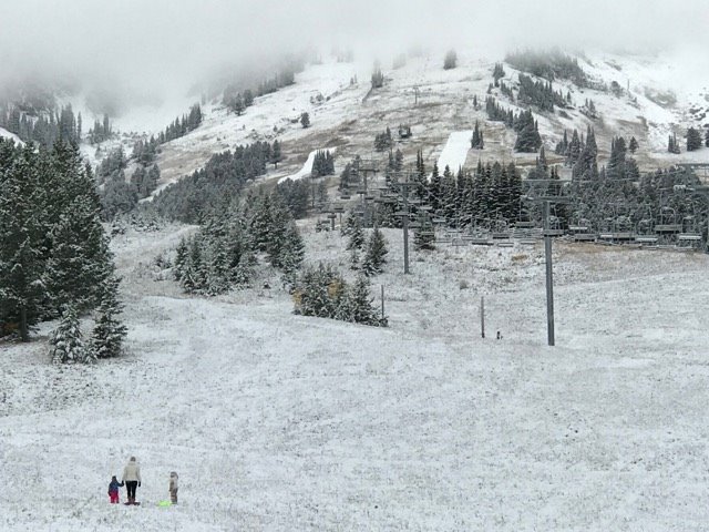
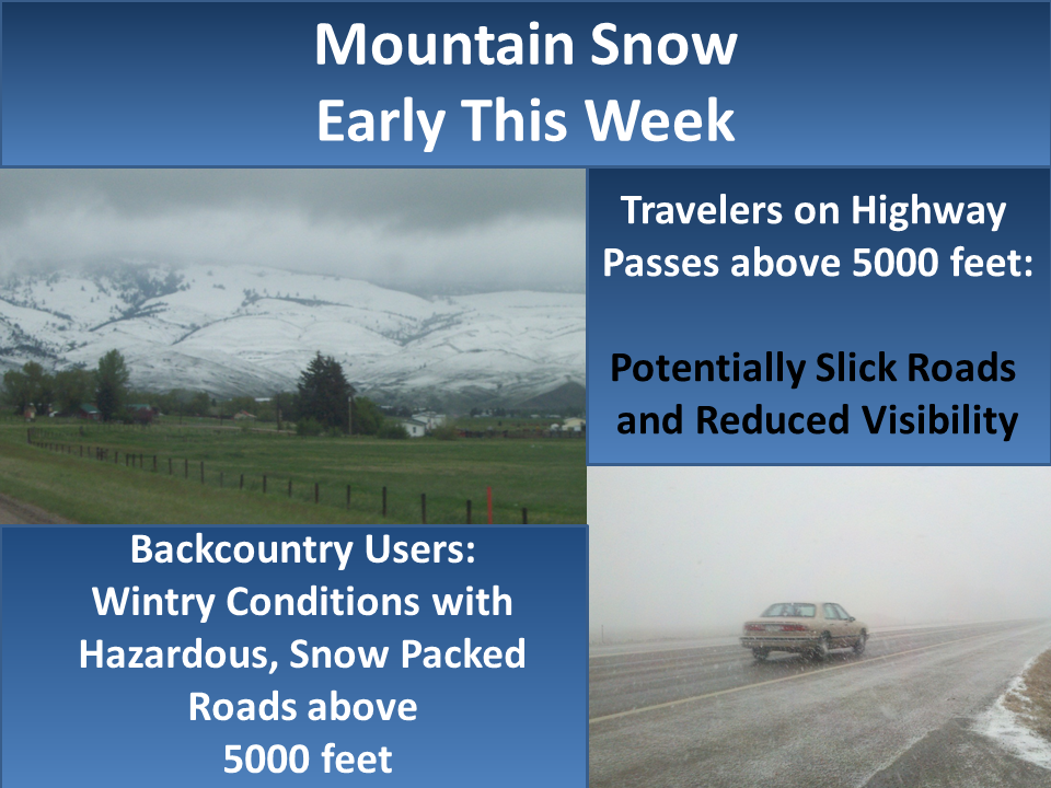
Snow levels are forecasted to hover between 5,000ft – 6,000ft, but they may drop below that as the weekend approaches.
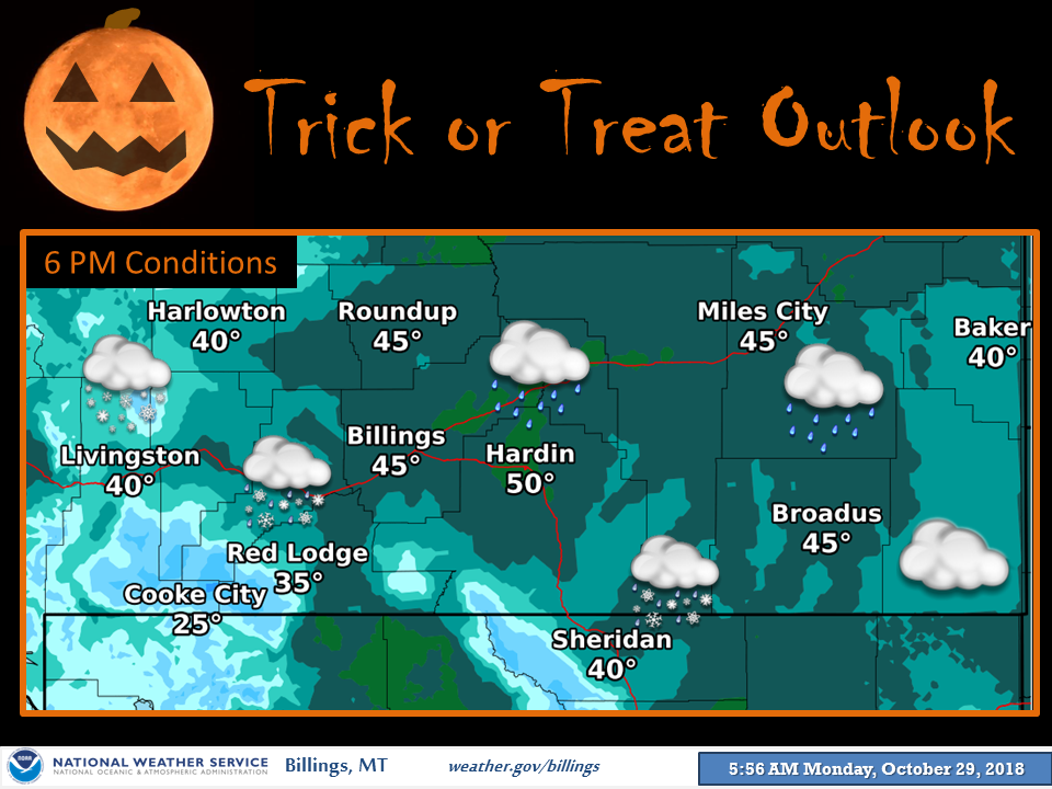
Additional Info:
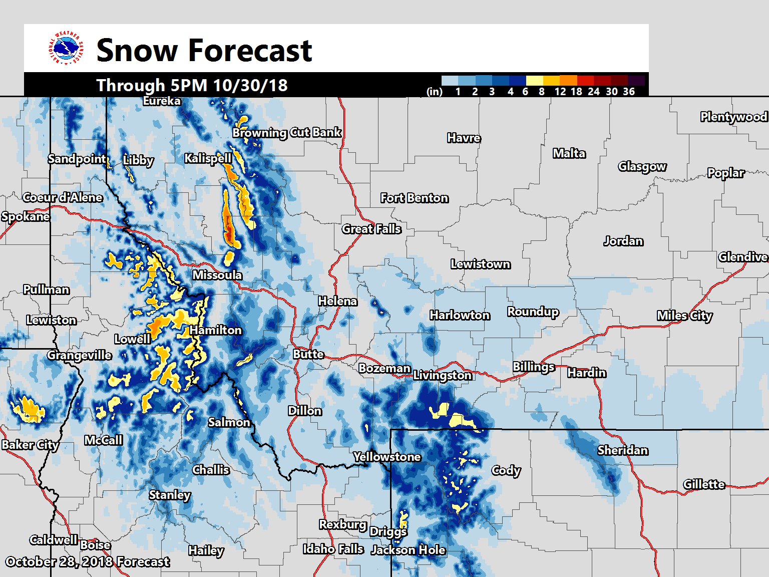
Montana: Up To 1 FOOT Of Snow Wednesday AM – Friday AM
* This northwesterly flow will also favor a period of
  moderate to heavy snow accumulation over the Bridger
  and Madison ranges, with initial guidance suggesting
  up to a foot of new snow possible over the 48 hour
  period from Wednesday morning through Friday morning.
- NOAA Great Falls, MT
Montana Forecast Discussion:
Area Forecast Discussion
National Weather Service Great Falls MT
1215 PM MDT Mon Oct 29 2018
Surface pressure is rising across the region this morning as a Pacific front advances west to east. Scattered showers are moving away to the east. Expect partly sunny skies today, but with gusty west winds and temperatures trending lower toward seasonal averages. Areas of low clouds with mainly afternoon snow showers will persist over the mountains due to orographic lifting. Similar conditions continue on Tuesday under the unsettled northwest flow aloft. Winds begin to strengthen early Wednesday as the next Pacific weather system approaches the region. A well defined upper level jet with increasing divergence aloft will help spread rain and mountain snow up to and across the Continental Divide on Wednesday evening. There remain some timing differences with the onset of precipitation, as the GFS presently depicts a slower solution than other models. However, overall confidence remains high that rain and snow will impact Halloween activities across Southwest Montana. Snow levels will be around 5000 to 6000 feet, with some snow accumulation possible on Southwest mountain passes. This northwesterly flow will also favor a period of moderate to heavy snow accumulation over the Bridger and Madison ranges, with initial guidance suggesting up to a foot of new snow possible over the 48 hour period from Wednesday morning through Friday morning. Precipitation tapers on Friday, but then another strong Pacific system arrives Friday night into Saturday, with yet another system Sunday into Monday. Lower elevation snow may be possible for some areas with temperatures remaining near, or a few degrees cooler than seasonal averages. Several inches of new snow for mountain areas through next weekend will begin to establish a base for winter snow accumulation.