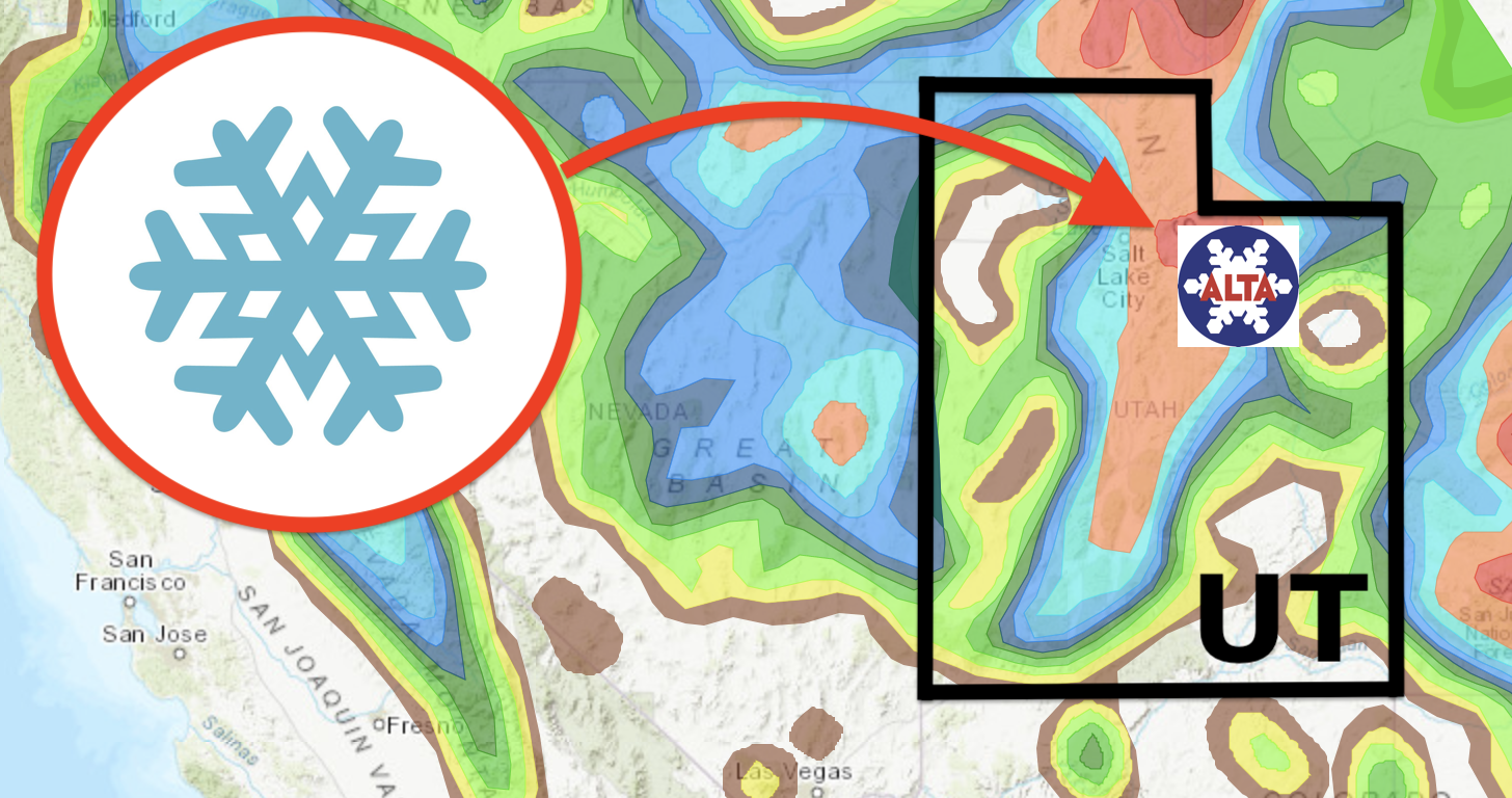
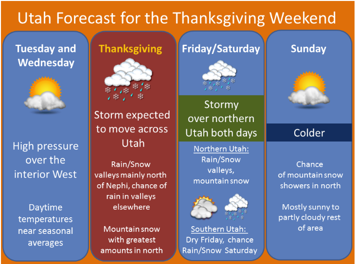
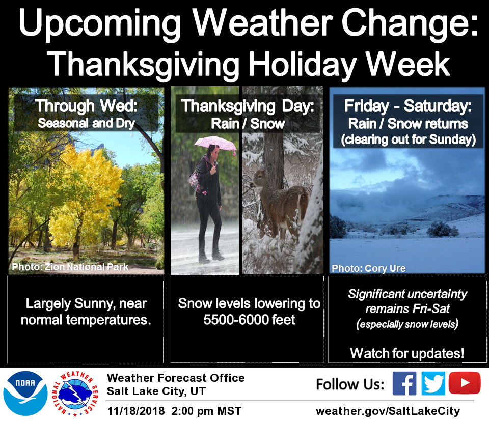
The National Weather Service is calling for 2 rounds of snow in Utah over the holiday weekend. The first of which, is expected to impact the area Thursday into Friday. The second is forecasted to hit Utah Friday into Saturday. Both storms have the potential to deliver significant snow accumulations in the mountains.
Utah:
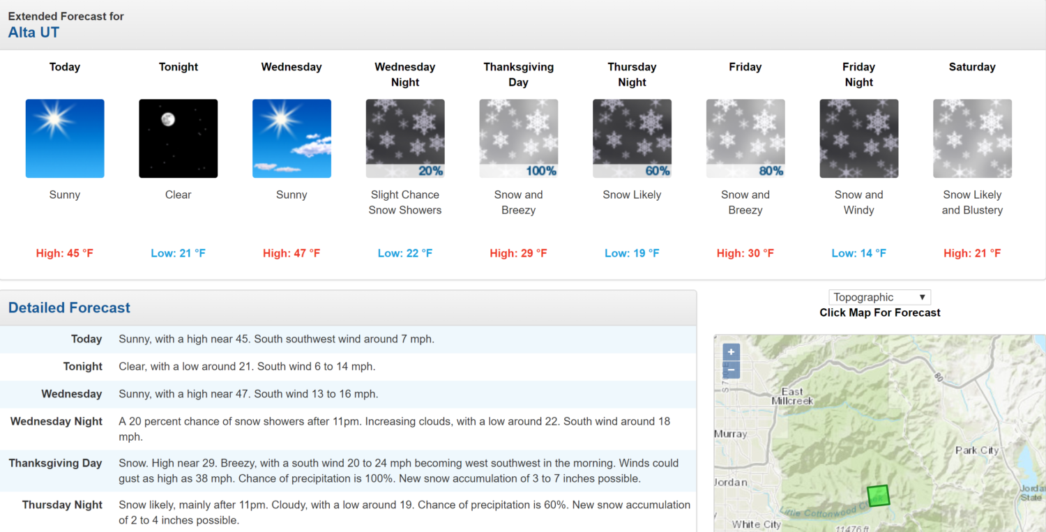
- 5-11″ of Snow On Thursday
“Snow is expected over the mountains as well as the higher valleys of northern Utah and southwest Wyoming Thursday and Friday. The northern Wasatch Mountains may see significant accumulations during this time. Periods of snow with minor accumulations will be possible in the valleys of far northern Utah.
A colder storm Friday night into Saturday will drop snow levels to the valleys floors. Accumulating snow is expected for much of northern and central Utah, with the mountains possibly seeing significant accumulations.”
– NOAA Salt Lake City, UT
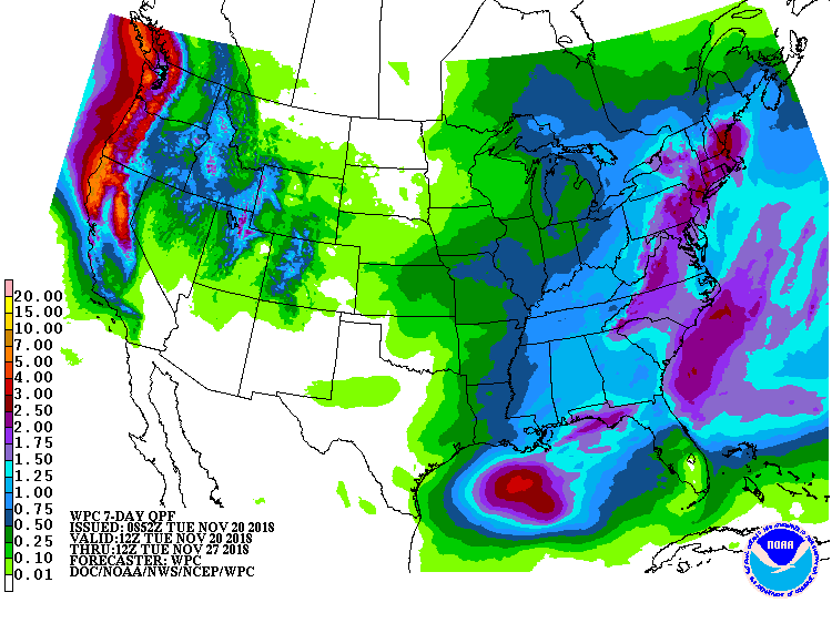
The first storm will deliver snow to higher mountain valleys Thursday into Friday. The second storm will drop snow levels to valley floors Friday into Saturday.
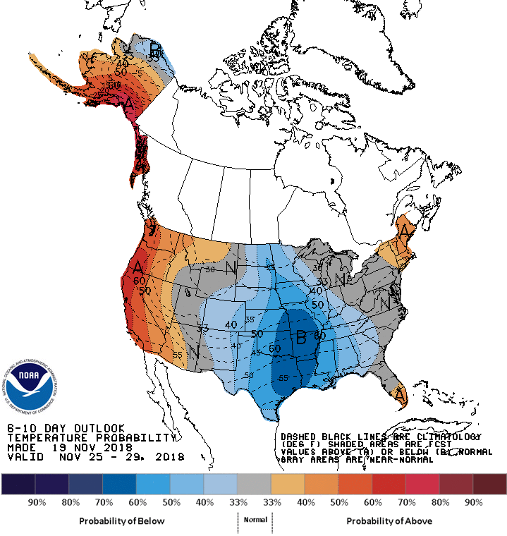
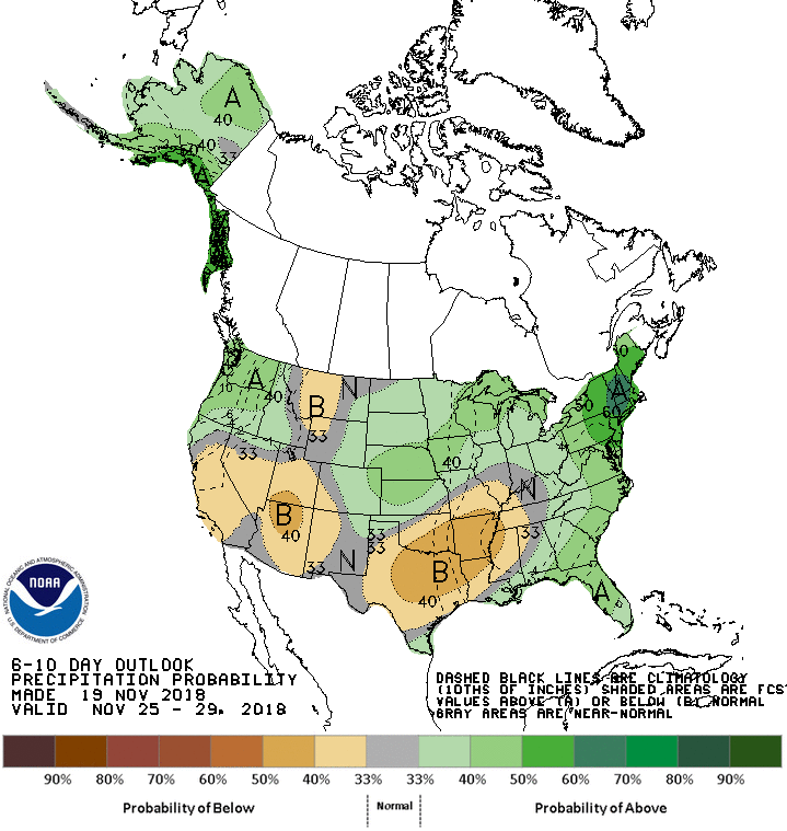
The 6-10 day outlook calls for average temperatures and below average precipitation in Utah.
Ski Resorts Open in Utah:
- Brighton
- Brian Head
Ski Resort Opening Dates in Utah:
- Snowbasin = Nov 20
- Park City = Nov. 21
- Alta = Nov. 23
- Snowbird = Nov. 30
Additional Info:
Utah: 5-11″ of Snow On Thursday
Hazardous Weather Outlook:
Hazardous Weather Outlook
National Weather Service Salt Lake City UT
534 AM MST Tue Nov 20 2018

Cache Valley/Utah Portion-Northern Wasatch Front-
Salt Lake and Tooele Valleys-Southern Wasatch Front-
Great Salt Lake Desert and Mountains-Wasatch Mountain Valleys-
Wasatch Mountains I-80 North-Wasatch Mountains South of I-80-
Western Uinta Mountains-Wasatch Plateau/Book Cliffs-
Western Uinta Basin-Castle Country-San Rafael Swell-
Sanpete/Sevier Valleys-West Central Utah-Southwest Utah-
Utahs Dixie and Zion National Park-South Central Utah-
Glen Canyon Recreation Area/Lake Powell-Central Mountains-
Southern Mountains-Southwest Wyoming-

This Hazardous Weather Outlook is for the western two thirds of
Utah and southwest Wyoming.

.DAY ONE...Today and Tonight

A hard freeze is expected across Utah`s Dixie through mid-morning
today.

.DAYS TWO THROUGH SEVEN...Wednesday through Monday

An active weather pattern will begin on Thanksgiving Day and
continue through Saturday.

Snow is expected over the mountains as well as the higher valleys
of northern Utah and southwest Wyoming Thursday and Friday. The
northern Wasatch Mountains may see significant accumulations
during this time. Periods of snow with minor accumulations will be
possible in the valleys of far northern Utah.

A colder storm Friday night into Saturday will drop snow levels to
the valleys floors. Accumulating snow is expected for much of
northern and central Utah, with the mountains possibly seeing
significant accumulations.
