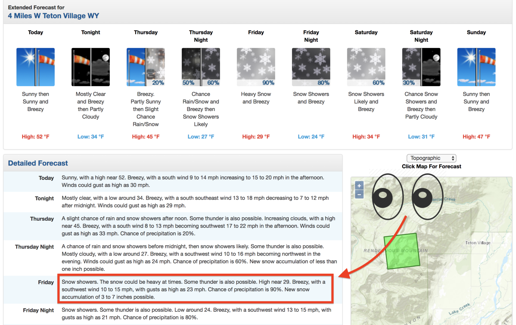
“The snow could be heavy at times. New snow accumulation of 3 to 7 inches possible.” – NOAA’s current forecast for Jackson Hole, WY at 9,000′
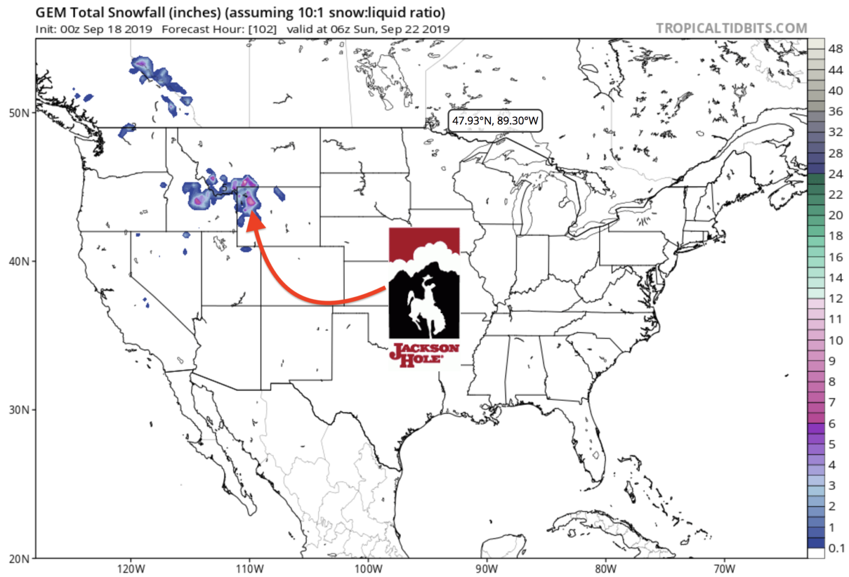
NOAA is calling for 3-7″ of snowfall at Jackson Hole, WY on Friday.
Jackson Hole has already seen snow twice this month: September 11th & September 17th.
Snow levels are forecast to range from 7,500-9,000′ with this coming storm.
"The trough axis will likely not be through WY until Friday
night/Saturday morning and therefore precipitation chances will
linger from Thursday afternoon through Friday night and begin to
taper off Saturday. The northwest will see the most precipitation
through that period and Friday will be the wettest day across the
area. Snow levels will be variable, ranging between 9000 to 10kft
for much of the area and possibly as low as 7500 over
northwestern portions" - NOAA Riverton, WY today

NOAA is calling for snow to be “heavy at times” on Friday with 3-7″ of snow forecast.
Winter weather is expected to continue in Tetons on Saturday and Sunday.
Further outlook from our friends at NOAA, advise of a separate weather system moving into the area starting early next week.
Time to tune the gear and touch wood to keep this white stuff rolling through winter!
