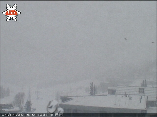
Alta ski area in Utah closed today at 1pm due to weather. No other details available at this time.
“Hey skiers, we will be closed for the remainder of the day due to weather issues. We’ll see you tomorrow!” – Alta, 1pm today
Tomorrow morning will be a good time to be at Alta as no one will be tracking up the snow this afternoon.
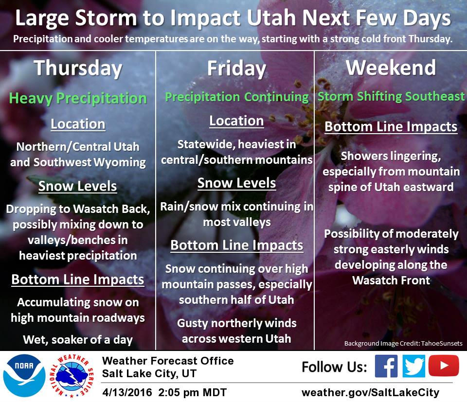
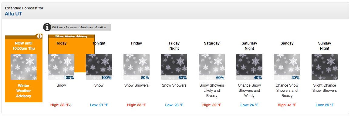
NOAA is calling for 5-9″ of snowfall for the Cottonwood Canyons in Utah today. Utah is forecast to see snow the next 4 days.
* SNOW ACCUMULATIONS...5 TO 9 INCHES WITH LOCALLY GREATER
  AMOUNTS POSSIBLE. THE HEAVIEST SNOW ACCUMULATIONS WILL REMAIN
  ABOVE 7000 FEET. - NOAA SLC, UT today
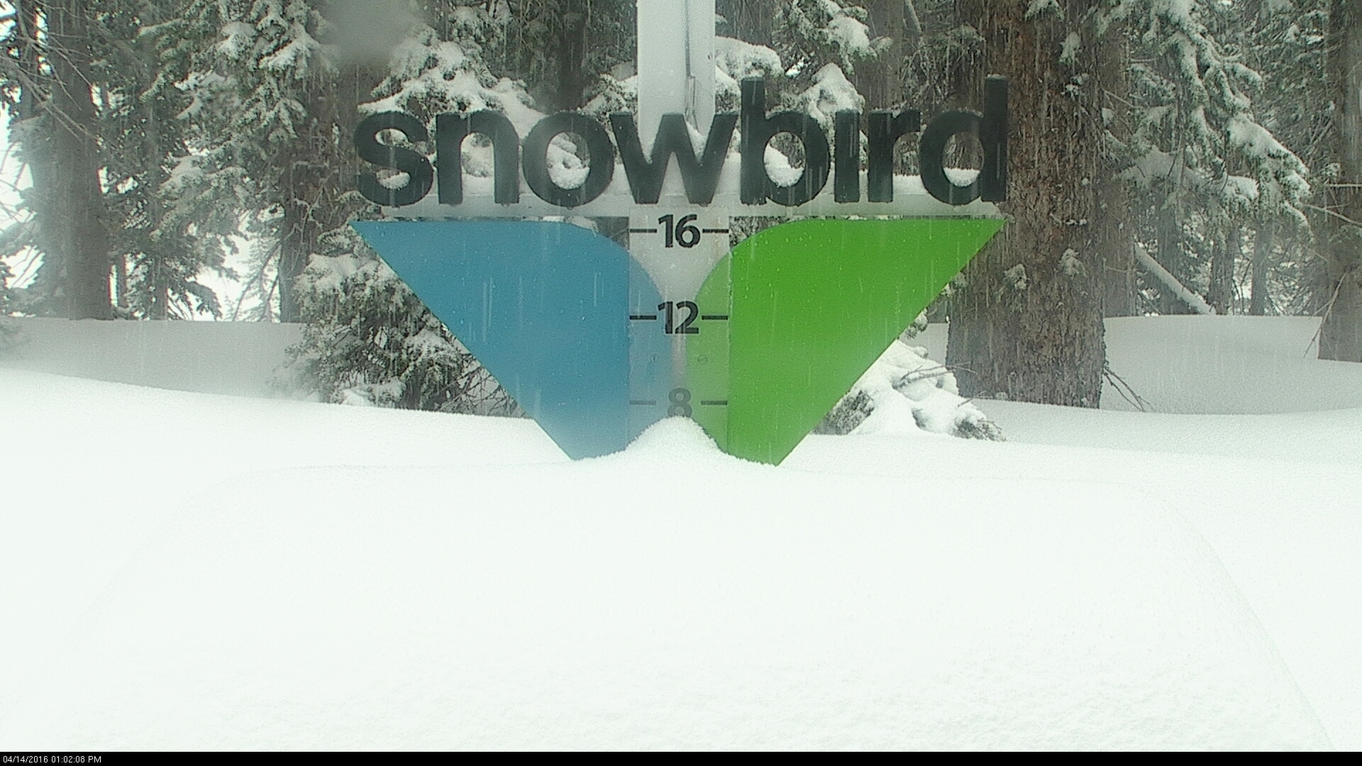
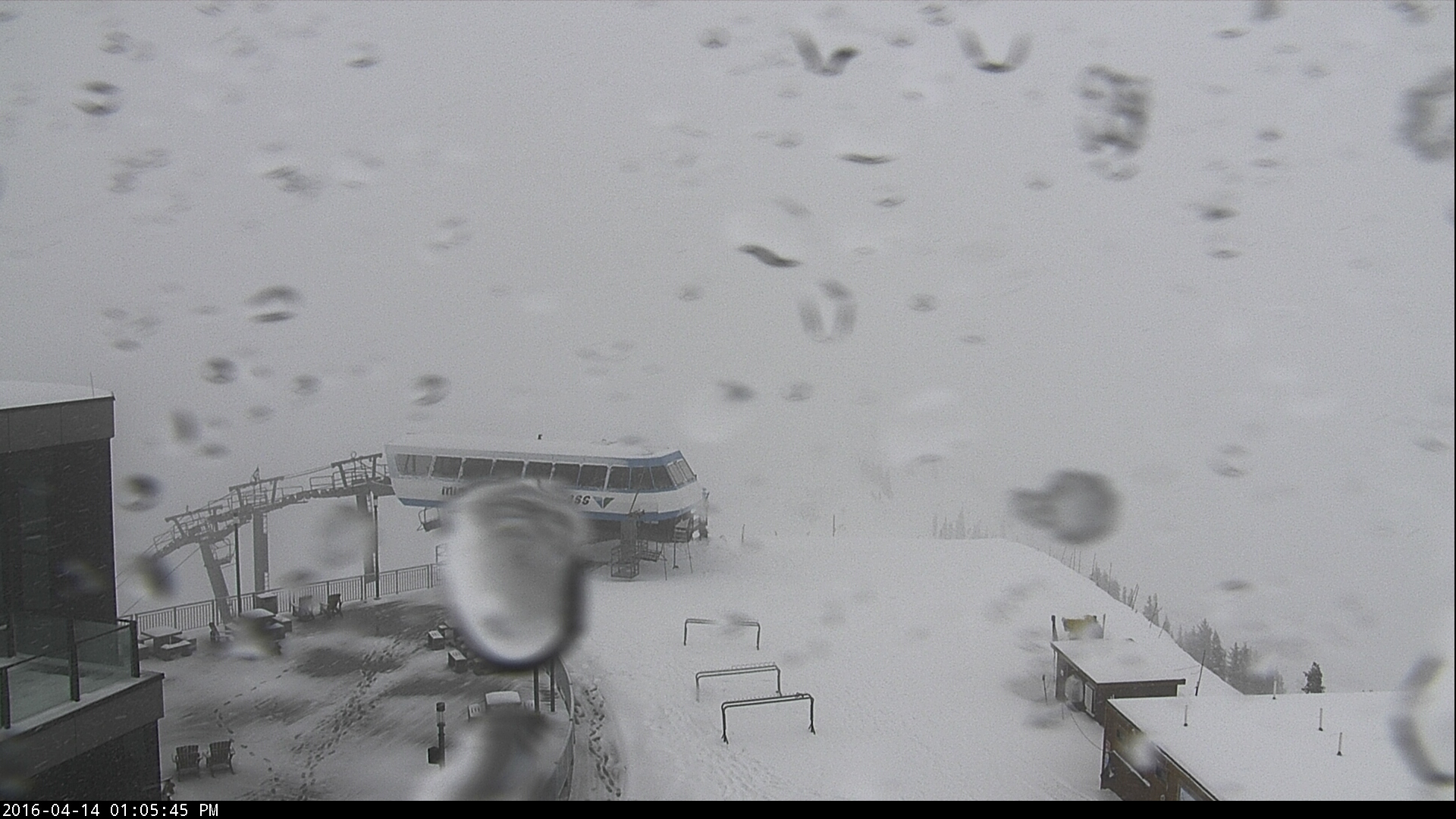
Snowbird has already gotten 6″ of snow today, according to their snow picket webcam.
NOAA has issued Winter Weather Advisories and a Winter Storm Warnings in Utah.
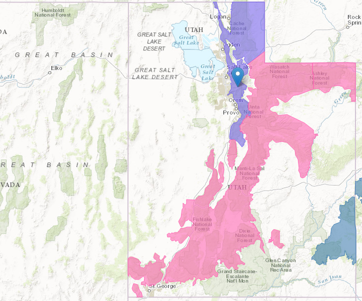
WINTER WEATHER ADVISORY for UTAH:
URGENT - WINTER WEATHER MESSAGE
NATIONAL WEATHER SERVICE SALT LAKE CITY UT
425 AM MDT THU APR 14 2016

WASATCH MOUNTAINS I-80 NORTH-WASATCH MOUNTAINS SOUTH OF I-80-
INCLUDING THE CITIES OF...WOODRUFF...RANDOLPH...ALTA...BRIGHTON

...WINTER WEATHER ADVISORY REMAINS IN EFFECT UNTIL 10 PM MDT THIS
EVENING...

* AFFECTED AREA...THE WASATCH MOUNTAINS OF NORTHERN UTAH.

* SNOW ACCUMULATIONS...5 TO 9 INCHES WITH LOCALLY GREATER
  AMOUNTS POSSIBLE. THE HEAVIEST SNOW ACCUMULATIONS WILL REMAIN
  ABOVE 7000 FEET.

* TIMING...SNOW...HEAVY AT TIMES...WILL DEVELOP THIS MORNING AND
  CONTINUE THROUGH THIS AFTERNOON BEFORE TAPERING OFF THIS
  EVENING.

* SNOW LEVELS...NEAR 7500 THIS MORNING THEN LOWERING BELOW 6000
  FEET BY LATE MORNING.

* WINDS...STRONG AND GUSTY WINDS WILL EXIST NEAR THE COLD FRONT.
  STRONG THUNDERSTORM WIND GUSTS ARE ALSO POSSIBLE.

* IMPACTS...TRAVEL ALONG ALL ROUTES THROUGH THE WASATCH RANGE WILL
  BE IMPACTED BY ACCUMULATING SNOW OR SLUSH THIS MORNING. INTENSE
  SNOWFALL IMMEDIATELY BEHIND THE COLD FRONT WILL CREATE RAPID
  ACCUMULATIONS ON ROAD SURFACES AS WELL AS GREATLY REDUCED
  VISIBILITIES.