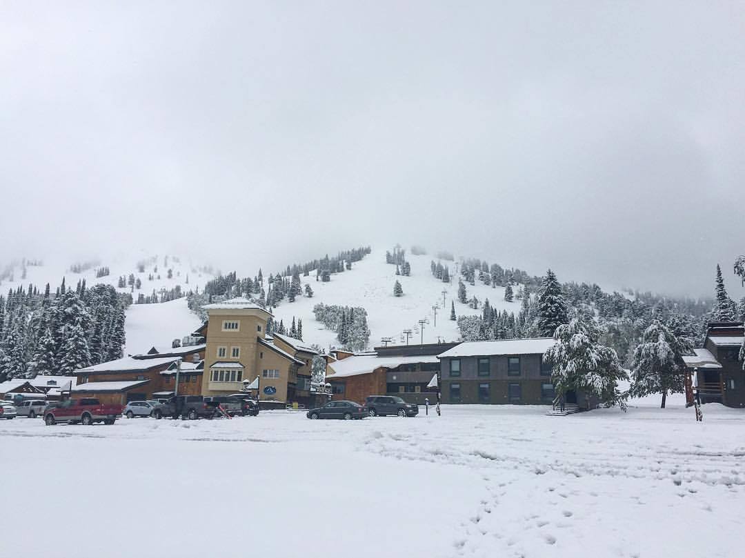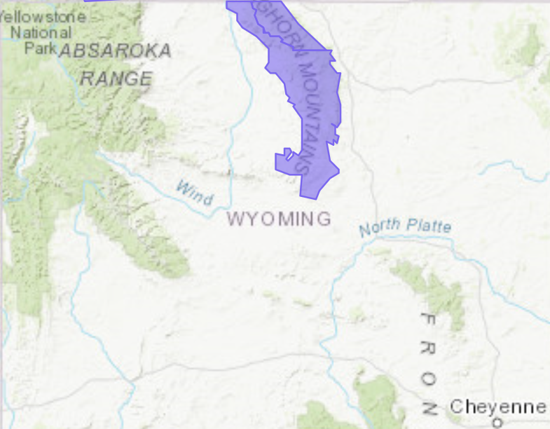
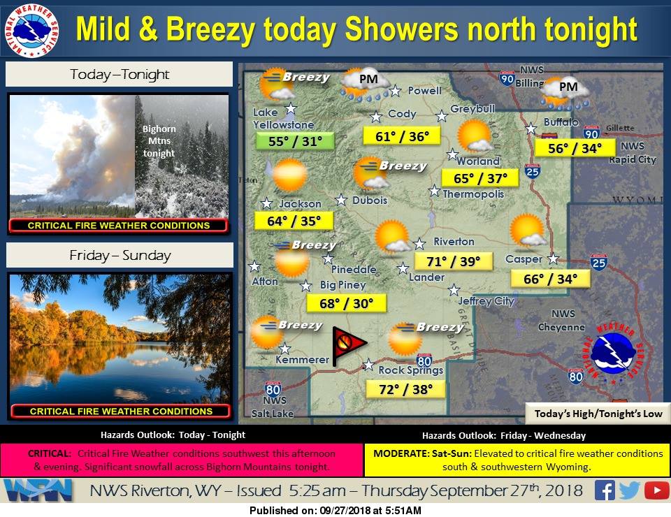
The National Weather Service has issued a Winter Weather Advisory for Wyoming. It’s in effect from 6:00pm this evening through 12:00pm on Friday. A strong cold front is expected to mix with precipitation and deliver significant snowfall to the Bighorn Mountains. The heaviest snowfall is forecasted to occur tonight.
6-9+” of Snow Is Expected To Fall Above 8,000ft Today – Friday Morning In Wyoming.
* Total snow accumulations of 6 to 9 inches above 8000 feet,
  with localized amounts up to 11 inches above 10000 feet.
  There will be 4 to 6 inches of snow between 7000 and 8000 feet.
- NOAA Riverton, WY Today
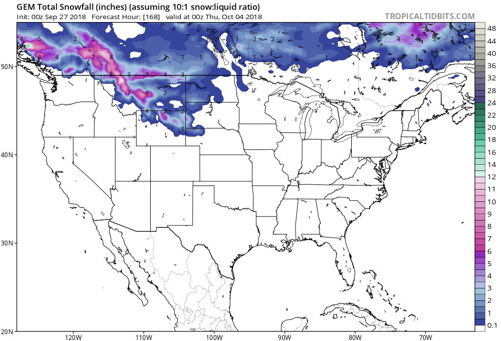
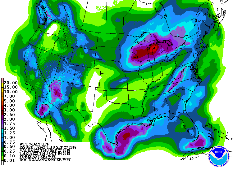
Accumulating snowfall is forecasted to occur at elevations great than 7,000ft, but snow levels are expected to drop down to 5,7000ft Friday Morning.
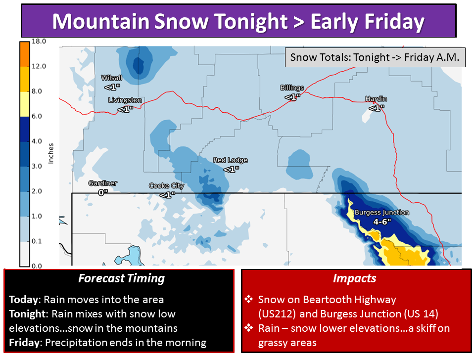
Additional Storm Info:
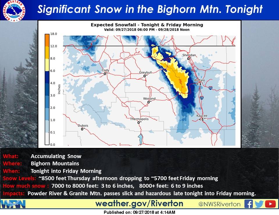
Montana: 6-9+” of Snow Above 8,000ft Today – Friday Morning
* Total snow accumulations of 6 to 9
  inches above 8000 feet, with localized
  amounts up to 11 inches above 10000 feet.
- NOAA Riverton, WY
Winter Weather Advisory:
URGENT - WINTER WEATHER MESSAGE
National Weather Service Riverton WY
441 AM MDT Thu Sep 27 2018

...SIGNIFICANT SNOWFALL EXPECTED FOR THE BIGHORN MOUNTAINS
TONIGHT THROUGH FRIDAY MORNING...

.A strong cold front will bring much cooler weather and
precipitation to the Bighorn Mountains late today through Friday
morning. Rain will turn to snow at 8000 feet later this afternoon
and then become heavier close to sunset this evening, and will
continue through Friday morning where significant snowfall
accumulations are expected. By Friday morning, the snow level will
likely descend to around 5700 feet at the adjacent foothills
where light accumulations are possible.

Bighorn Mountains West-Bighorn Mountains Southeast-

...WINTER WEATHER ADVISORY REMAINS IN EFFECT FROM 6 PM THIS
EVENING TO NOON MDT FRIDAY...

* WHAT...Snow expected. Total snow accumulations of 6 to 9
  inches above 8000 feet, with localized amounts up to 11 inches
  above 10000 feet. There will be 4 to 6 inches of snow between
  7000 and 8000 feet.

* WHERE...Bighorn Mountains.

* WHEN...From 6 PM this evening to noon MDT Friday.

* ADDITIONAL DETAILS...Plan on slippery road conditions during
  the morning commute on Friday including Granite and Powder
  River Passes. Expect reduced visibilities at times.