Forecast prepared 10AM PST on January 9, 2024
Forecast Summary
- It’s been snowing since the weekend and totals are already impressive.
- It’ll keep snowing until this weekend. Additional snowfall will be immense.
- Strong winds and high avalanche danger will make it hard to get to/from the mountains for most of the week. Lift holds and terrain closures are a certainty. Skiing might be a mess for the next few days, but base depths will be healthy by the end of it.
Brief Storm Recap
After a very slow start to the ’23/24 ski season, ski resorts in the Northwest U.S. find themselves amid a season-changing storm cycle.
The cycle began Saturday morning and has already produced 2-4″ of SWE for the high terrain of the Cascades, and there is a ton more coming. I like to use these weather stations from the Northwest Avalanche Center to get an idea of past snowfall, and in this case, we can see that snow depths have increased more than 20″ at every major resort in Washington and 15+” for the big volcanoes in Oregon.
The strongest storm of the season has been slamming the area since Monday morning. West winds have gusted 65+ MPH in the exposed high terrain and reported snowfall is on the order of 8-16″ region wide. I-90 closed for avalanche mitigation this morning (Tuesday) over Snoqualmie Pass. Many resort websites are warning of lift and terrain holds all day. Some resorts are completely closed today. The new snow is welcome news, but the skiing experience may not be all that great until the wind chills out. More on that in a moment.
Short Term Forecast
Heavy snow is ongoing. A swath of unstable & moist westerly flow is pumping rain/snow showers ashore, with snow levels down near 2,000′ (all snow for all resorts in the area): 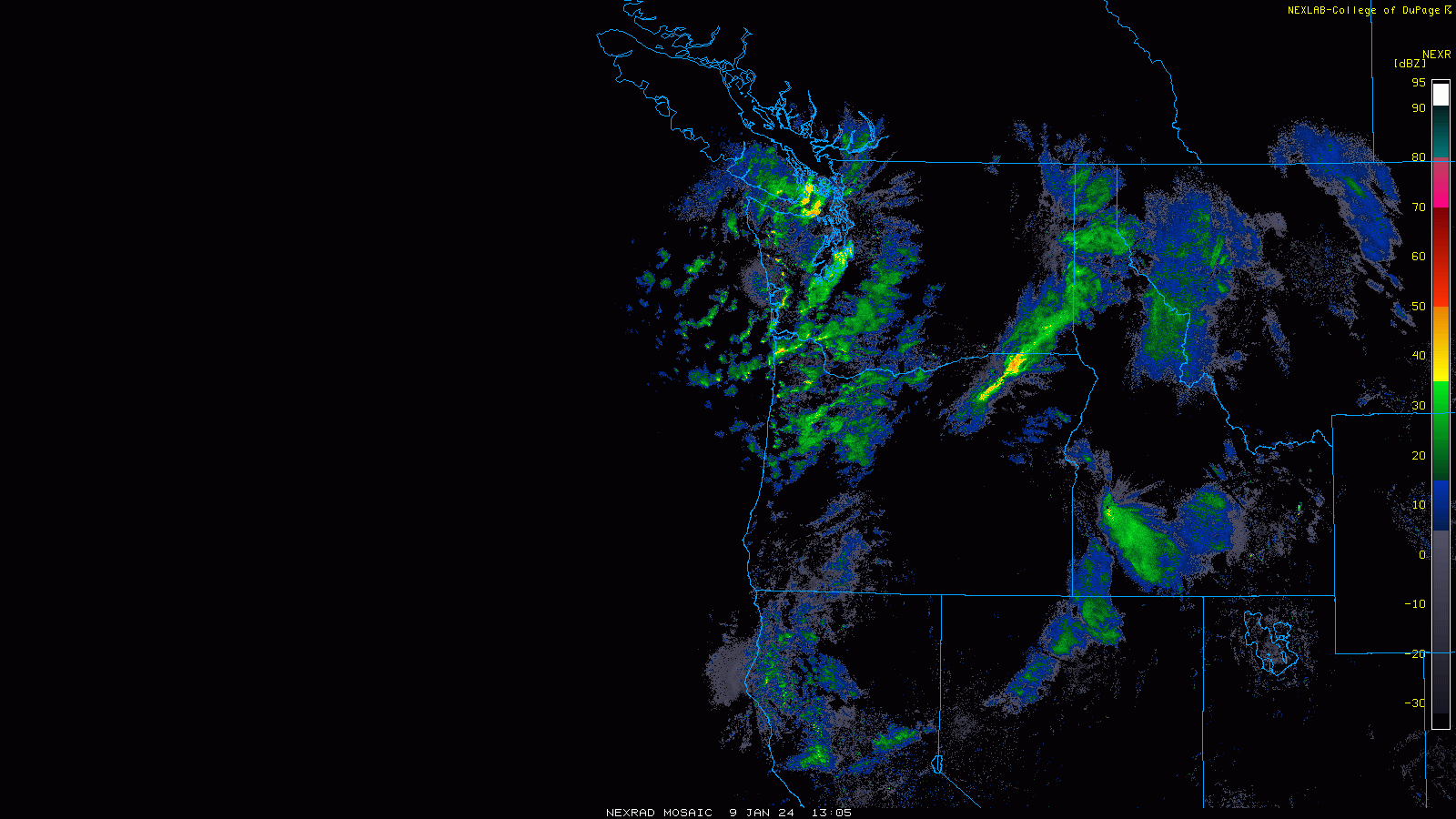
This’ll continue more or less unabated into this weekend, with pulses of especially heavy snow as disturbances embedded in the flow come ashore. These pulses look to come Tuesday night-Wednesday morning, Thursday afternoon into Friday morning, and again Friday night into Sunday morning. Snow won’t finally end until later in the day on Sunday.
Snow levels look to generally stay well below resort bases, with only a short period of rising snow levels coming Friday evening into Saturday morning. Might see some rain as high as 5500-6000′ through that window – warm enough for a period of rainfall for most resorts before snow levels crash to 1500-4500′ through the day Saturday, depending on where you are (colder for the northern half of WA, warmer as you head south).
Winds will be an issue through much of the week. Of particular concern are the rest of the day today (Tuesday), the first half of the day on Wednesday (especially in Oregon), and again on Friday-Saturday. Expect ridgetop gusts to exceed 50 MPH during each of these periods. Wind holds and avalanche hazard-related terrain closures are all but a guarantee. High mountain passes will likely be impassable at times due to the heavy snow, wind, and accompanying avalanche hazard.
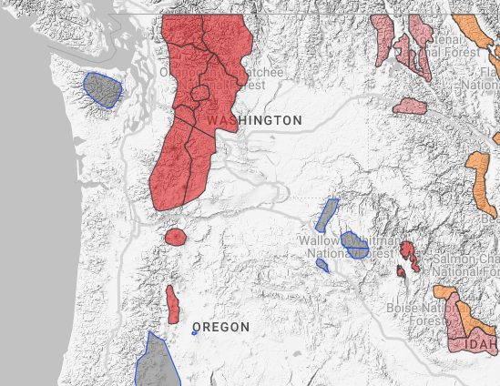
We’re only at the first stage of this thing, and avy danger rating are already high (level 4 our of 5) across the Cascades:
By the end of all of this on Sunday, we will see some monumental weeklong snow totals. Here’s how much I think is gonna fall, from north to south:
- Mt. Baker: 30-55″
- Stevens Pass: 40-65″
- Snoqualmie areas: 50-80″
- Crystal Mountain: 50-80″
- Mt. Hood areas: 60-90″
- Mt. Bachelor: 55-85″
- Willamette Pass: 45-65″ (should finally be able to open!)
Incredible.
Extended Forecast
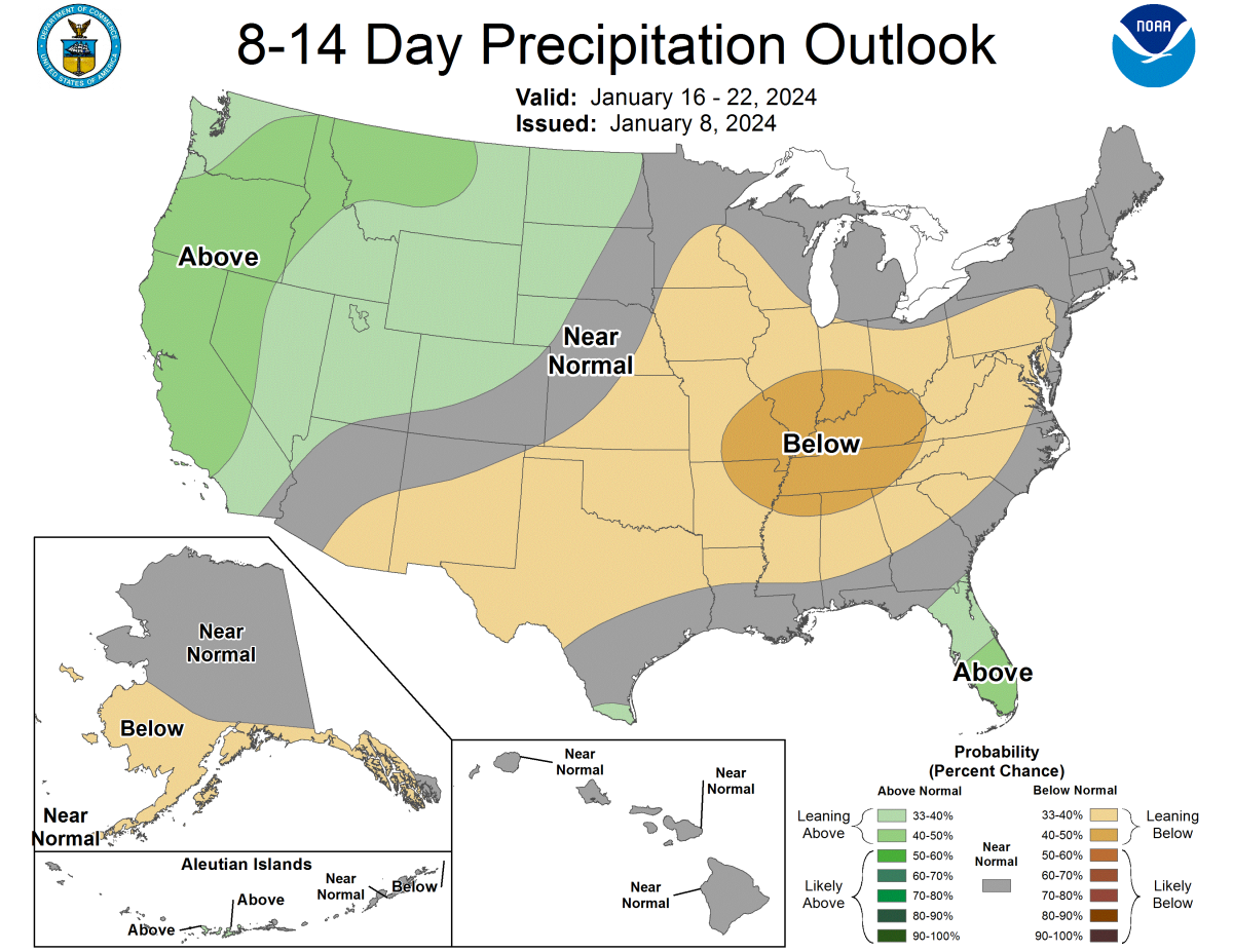
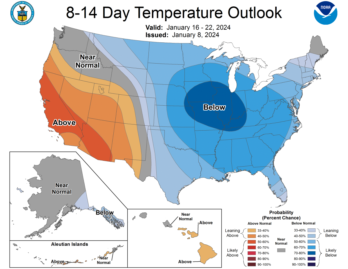
A warmer and somewhat drier pattern will evolve by early next week, with a ridge developing just upstream of the Pacific Coast (warm color fill): 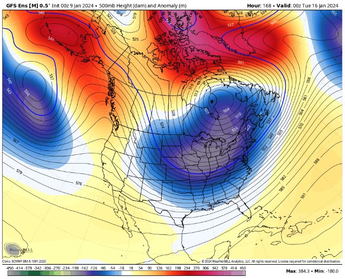
As a result, Monday and Tuesday of next week could be the first drama-free days to enjoy the new snow, with winds and storminess finally taking a break.
The break is unlikely to last very long, with another shot at a storm midweek next week. The ridge is forecast to retreat inland into mid-January and open the door to more moisture. Sometimes these types of ‘over the top’ storms can be a little warmer, but that’s really nitpicky for something that’s still way out in the long range. Focus on the behemoth snow in the next 5 days, for now.