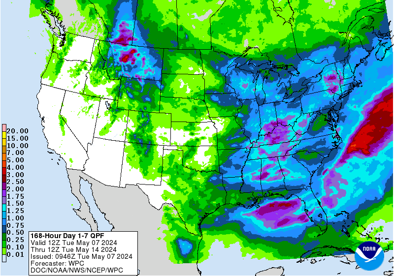
The National Weather Service has issued a Winter Storm Watch for Texas. It is in effect from 6:00am Wednesday Morning – 6:00am Thursday Morning. A wintry mix of precipitation is expected to impact the area as a strong cold front persists.
3-5+” of Snow Wednesday Morning – Thursday Morning In Texas.
NOAA Has Issued A Winter Storm Watch For:
- Texas


A mix of rain, sleet, and snow are impacted the area, but most of the snowfall is expected to occur in the mountains.
Additional Storm Info:


Texas: 3-5+” of Snow Wednesday Morning – Thursday Morning
* Total snow accumulations of 3 to 5 inches, with
  localized higher amounts, and ice accumulations of up to a tenth
  of an inch possible.
- NOAA Midland, TX


Texas Winter Storm Watch:
URGENT - WINTER WEATHER MESSAGE
National Weather Service Midland/Odessa TX
449 AM CST Tue Dec 5 2017

...WINTER STORM WATCH IS IN EFFECT WEDNESDAY AND WEDNESDAY NIGHT
FOR THE GUADALUPE AND DAVIS MOUNTAINS...MARFA PLATEAU...VAN HORN
HIGHWAY 54 CORRIDOR...BIG BEND AND PORTIONS OF THE TRANS PECOS OF
WEST TEXAS...

.A strong and cold upper level storm system will approach the
area Wednesday bringing the potential for a variety of wintry
precipitation Wednesday and Wednesday night.

Guadalupe Mountains of Eddy County-
Van Horn and Highway 54 Corridor-
Reeves County and Upper Trans Pecos-Davis/Apache Mountains Area-
Pecos-Marfa Plateau-Big Bend Area-Guadalupe Mountains-
Including the cities of Queen, Van Horn, Pecos, Alpine,
Fort Stockton, Marfa, and Pine Springs
449 AM CST Tue Dec 5 2017 /349 AM MST Tue Dec 5 2017/

...WINTER STORM WATCH IN EFFECT FROM WEDNESDAY MORNING THROUGH
LATE WEDNESDAY NIGHT...

* WHAT...Heavy mixed precipitation possible. Plan on difficult
 travel conditions, including during the morning commute on
 Thursday. Total snow accumulations of 3 to 5 inches, with
 localized higher amounts, and ice accumulations of up to a tenth
 of an inch possible.

* WHERE...Guadalupe and Davis Mountains, Marfa Plateau, Big Bend,
 Van Horn Highway 54 Corridor and portions of the trans Pecos
 Region of west Texas.

* WHEN...From Wednesday morning through late Wednesday night.

* ADDITIONAL DETAILS...Difficult travel is expected to develop due
 to icy and snow covered roads. Roads could also become slushy
 due to a combination of freezing rain, sleet and snow.
 Significant reductions in visibility are also possible.
Canada city