Forecast By SnowBrains Meteorologist – Eric McNamee
Brought to you by Monarch Mountain
10:10 AM MST, 3/2/2021
Forecast Summary:
A closed-low off the west coast will move into the southwest tomorrow and Thursday, bringing 4-12″ of snow to western Colorado Mountains.
Conditions will temporarily clear out Friday before another closed low moves into the state this weekend.
Active weather looks to continue in the extended.
Resorts that look to see the most snow are Aspen, Vail, Arapahoe Basin, Keystone, Breckenridge, Telluride, Monarch, Wolf Creek, and Crested Butte.
Short-Term Forecast:
Tuesday-Thursday:
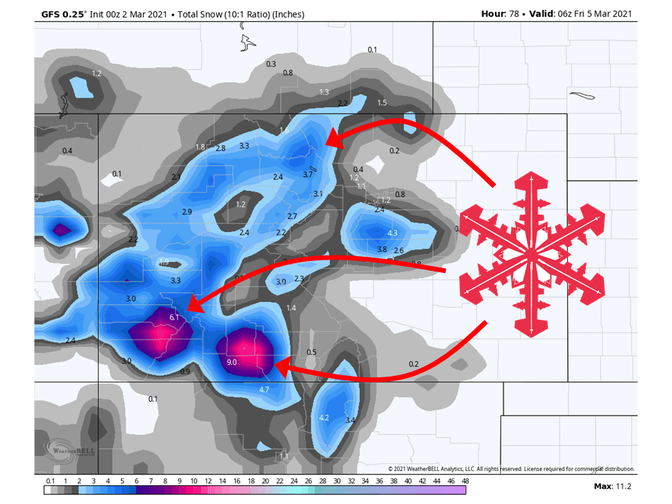
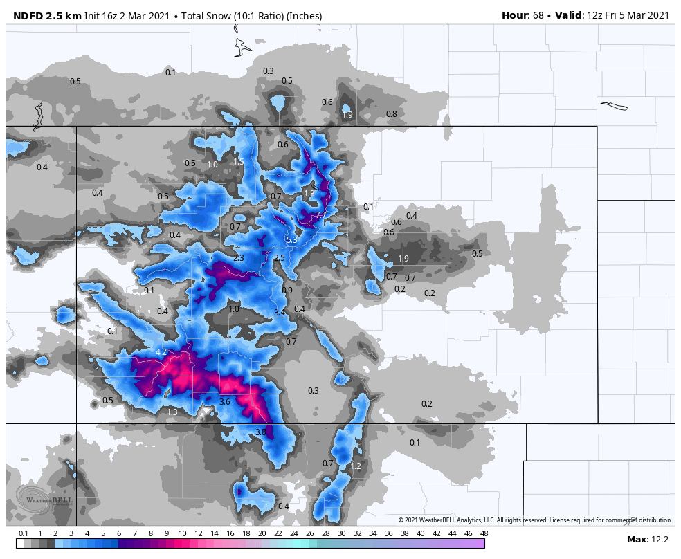
4-12″ of snow is expected across the western mountains of Colorado, with the highest amounts in the San Juans.
A closed low off the California coast will move inland tomorrow and Thursday.
Associated with it will be a moist southwest flow that will be directed at Colorado.
Snow will start tomorrow evening and continue through the day Thursday.
Southwest facing slopes will see the high snowfall amounts, with the most snow being found across the San Juans.
Long-Term Forecast:
Friday-Monday:
By Friday, snow showers will become isolated and taper off through the morning.
Conditions will clear out through Friday and Saturday as high pressure builds over the western US.
By Saturday night, another closed low will move into the state and move out by Sunday afternoon.
This will take a similar track as its predecessor, bringing another chance of snow across the region.
Extended Forecast:
Wednesday and Beyond:
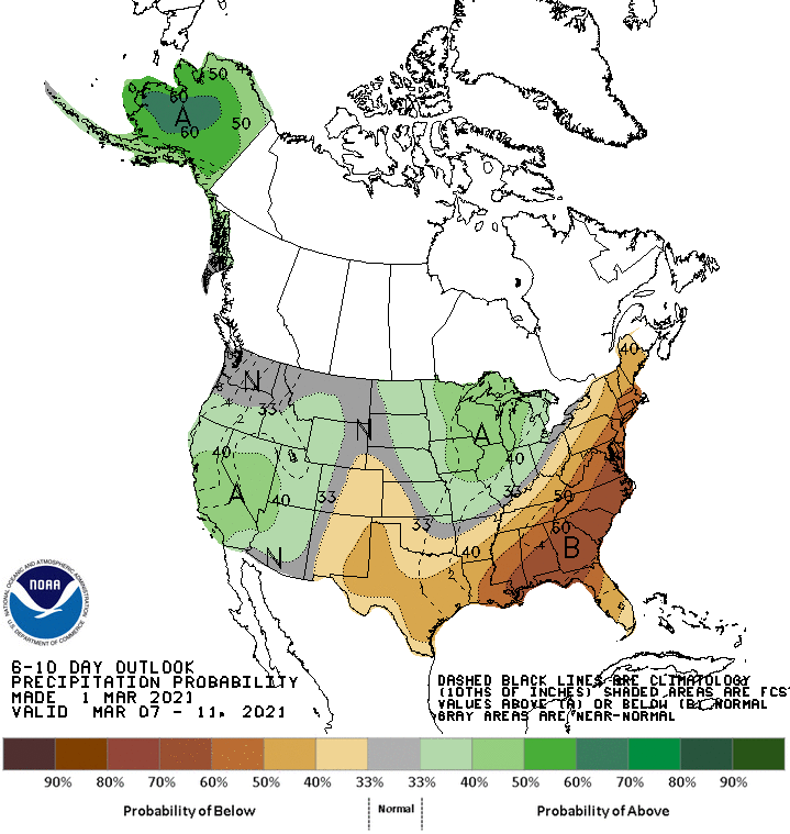
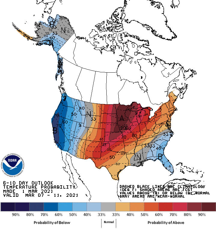
Global ensembles are indicating above-average temperatures across Colorado, with a split of above and below-average precipitation.