Forecast By SnowBrains Meteorologist – Eric McNamee
Brought to you by Monarch Mountain
10:40 AM MST, 2/9/2021
Forecast Summary:
A shortwave trough currently over the Great Basin will move through Colorado today and tomorrow, bringing 6-18″ of snow for mountain locations.
Another shortwave trough will move through this weekend and bring some additional snowfall to the state.
Resorts that look to see the most snow are Aspen, Steamboat, Vail, Arapahoe Basin, Monarch, and Crested Butte.
Short-Term Forecast:
Tuesday-Thursday:
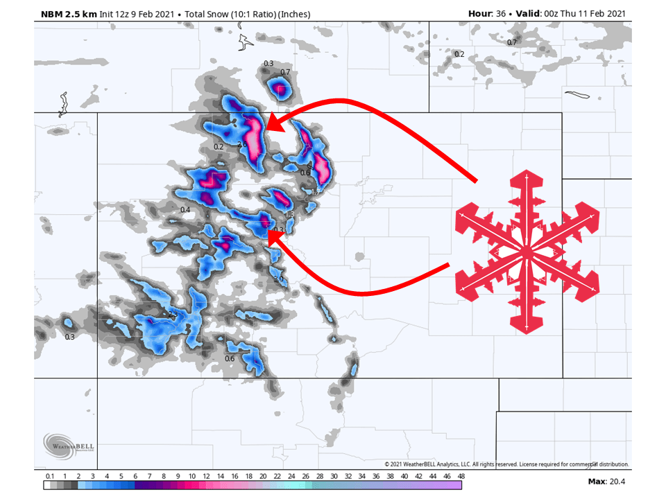
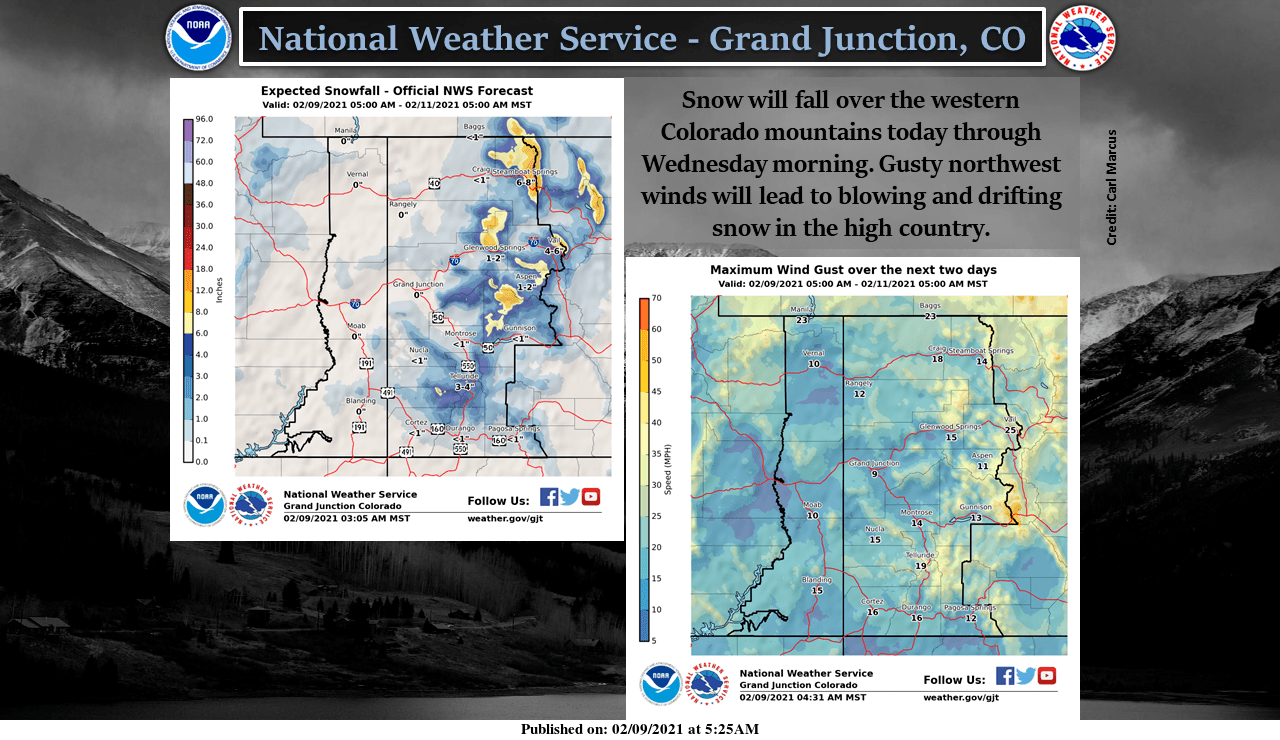
8-24″ of snow is expected for mountain locations across the state through tomorrow morning as a shortwave trough moves through the state.
Snow has already begun along the western slope and will fill in through the day.
The highest totals will be found over the northern ranges as the flow of moisture is oriented in that direction.
Strong northwest will also be accompanied by this shortwave, which will increase avalanche danger across the state.
Conditions will then dry out through Thursday.
Long-Term Forecast:
Friday-Monday:
By Friday, a more robust shortwave trough will move into the state with plenty of moisture.
Right now there is some variance in models on how much snow will fall, but it looks like it could be potent.
This will last through the weekend, with the chance of some more snow next week.
Extended Forecast:
Wednesday and Beyond:
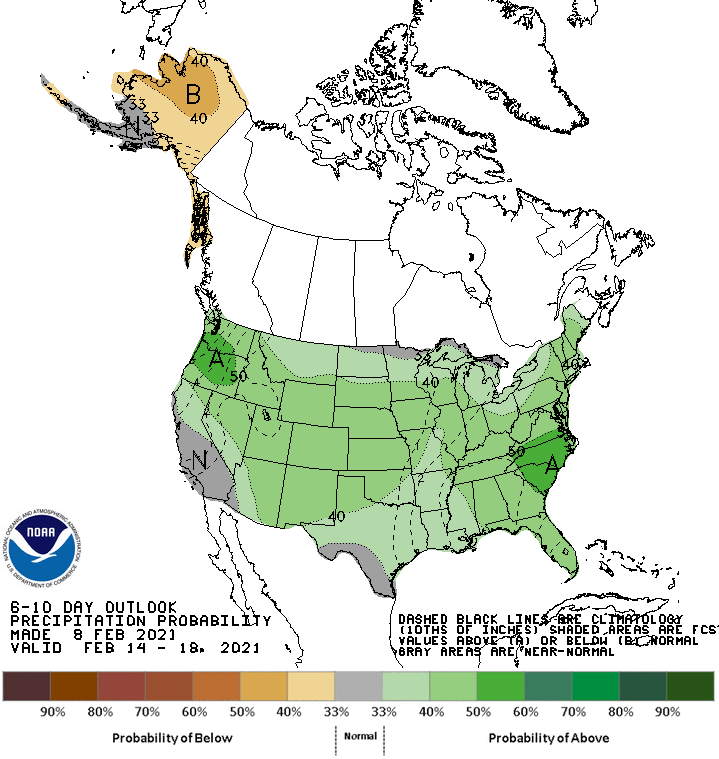
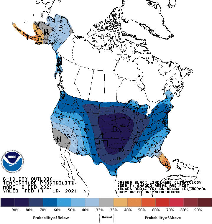
Global ensembles are indicating below-average temperatures across Colorado and above-average precipitation through the extended.