Forecast By SnowBrains Chief Meteorologist – Eric McNamee
9:45 pm MST, 10/27/2021
Forecast Summary:
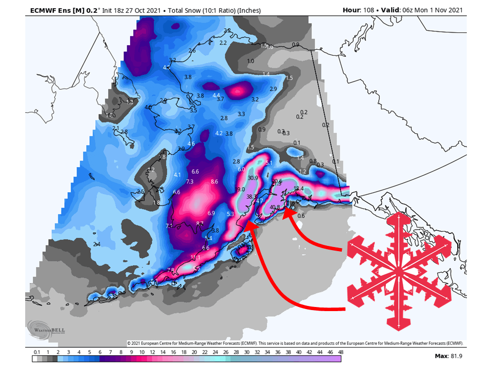
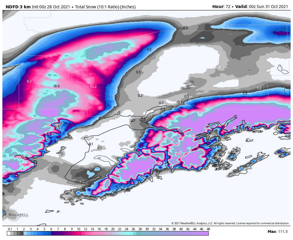
An atmospheric river will slam into Alaska and bring 80-100″+ of snow through Sunday.
Snow will pick up this weekend as a stream of moisture is transported into the region.
Snow will continue into the long-term and the extended.
Places like Alyeska and Silverton Mountain could do well in this.
Short-Term Forecast:
Thursday-Sunday:
An atmospheric river will slam into Alaska and bring 80-100″+ of snow through Sunday.
A weaker system will hit the area Thursday and Friday, bringing lighter amounts to the area.
The main event will start Friday night as the atmospheric river slams into Alaska.
Snow will continue through the weekend and taper off Sunday.

Long-Term Forecast:
Monday-Wednesday:
Right now, an active pattern looks to remain in place for the most part across the region.
Snowfall totals are not certain at this time but will continue to pile up.
Extended Forecast:
Sunday and Beyond:
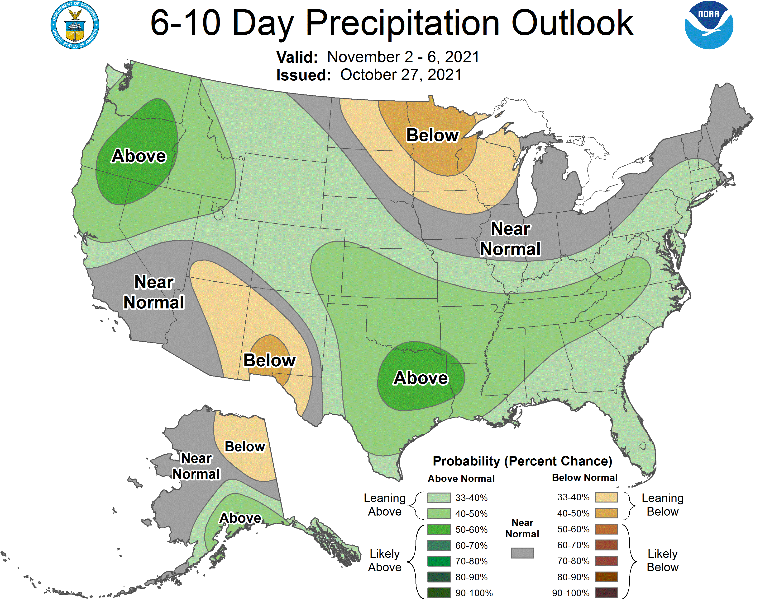
Global ensembles are indicating above-average precipitation across South Central Alaska through the extended.
yea, don’t hold yer breath for this. The snow line is expected to be 5,000ft ish. So Alyeska and most places will see all rain.