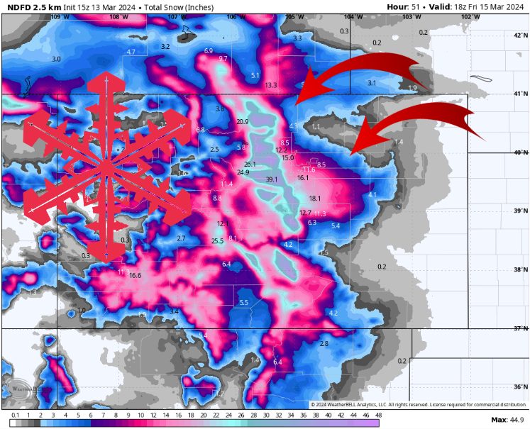
NWS estimated snow totals. Source: maps.weatherbell.com
Forecast Summary
A major snowstorm is headed for Colorado, with feet of snow expected along the Front Range through Friday morning. This storm starts up pretty innocently, with some light snow across the mountains Tuesday night through Wednesday afternoon. During this period temperatures are relatively warm, with low snow:liquid ratios keeping snow totals modest.
This storm ramps up Wednesday night, when the low pressure system moves over the 4-corners area and across the Southern Rockies, and mid-level flow shifts to the NE. This storm system is known as a ‘Colorado Low’, and it is responsible for almost all of the major snowstorms in Denver. This is because most storms come out of the SW or NW, leaving Denver shadowed behind the Rockies. However, when a Colorado Low draws moisture in from the NE, Denver’s topography allows for snow to increase as it rises towards the Front Range.
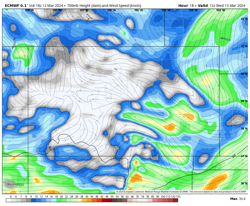
Winds shifting to the NE Wednesday night. Source: maps.weatherbell.com
This pattern also means that the Front Range draws in unusually moist air from the Gulf of Mexico, which greatly increases the amount of liquid that this storm can produce. For this storm, we’re expecting around 2″ of precipitation for the Front Range. With snow:liquid ratios generally in the low-to-mid teens, it is safe to expect somewhere between 20-30″ of snow for the hardest-hit areas before the storm moves east and cuts off moisture Friday morning.
Snow forecast for some major CO resorts through Friday AM:
- Steamboat: 3-6″
- Telluride: 6-12″
- Vail: 5-10″
- Winter Park: 18-30″
- Aspen: 4-8″
- Breckenridge: 6-12″
- A Basin: 15-25″
- Wolf Creek: 10-20″
Extended Outlook
A cutoff low stalls over the Las Vegas area for the next few days, keeping some valley rain and mountain snow going for New Mexico, Southern Utah, Northern Arizona, and SW Colorado. Depending on the exact location of the low pressure center, this may or may not be a very favorable pattern for Wolf Creek. Otherwise, resorts generally look dry with pleasant conditions this weekend and most of next week.
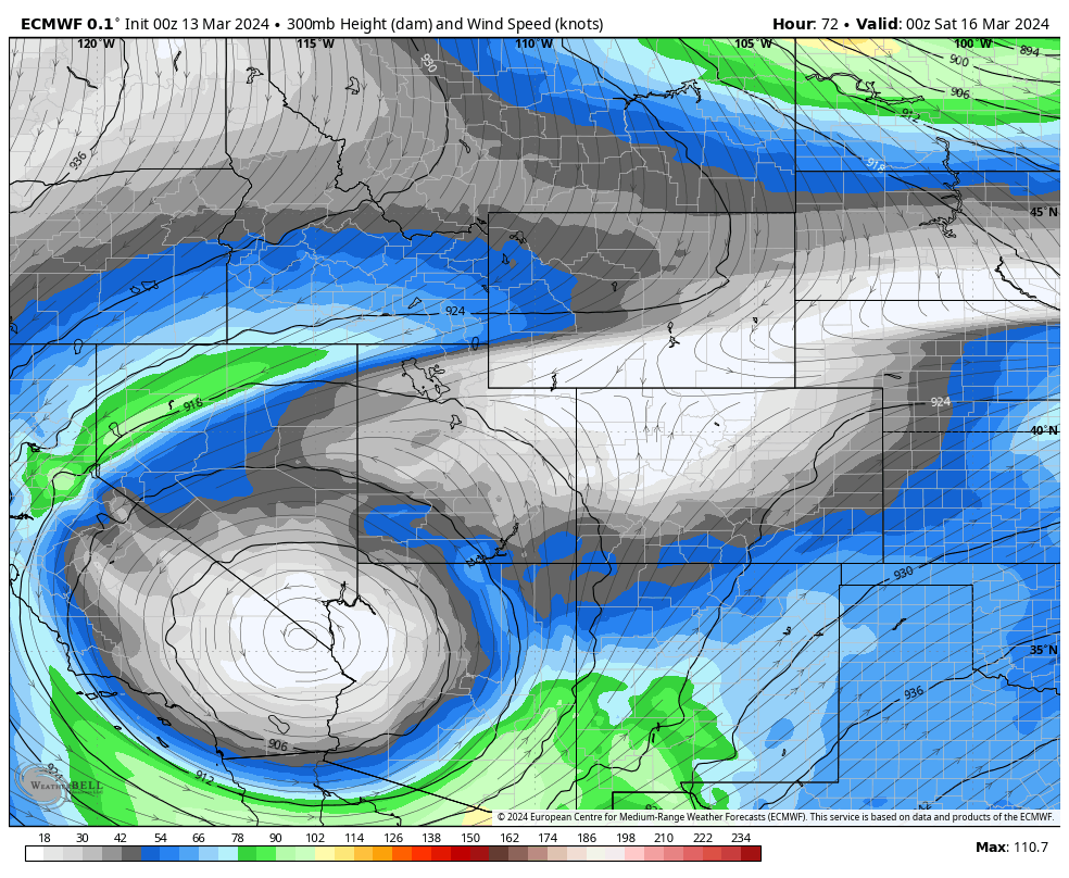
Cutoff low sitting over Western Arizona for the next few days. Source: maps.weatherbell.com
A more active pattern returns for the 4-corners next week, with long-range guidance suggesting that several surges of Pacific moisture will move across the Western US with mild temperatures.


SPC 8-14 day outlook. Source: https://www.cpc.ncep.noaa.gov/products/predictions/814day/