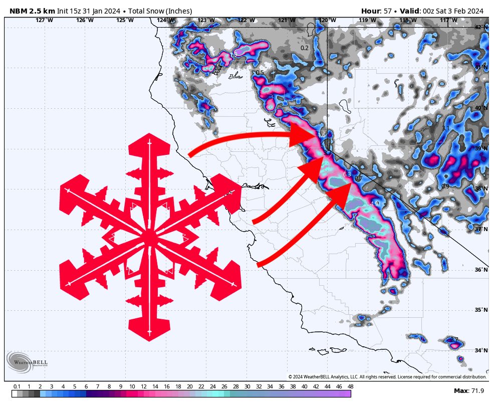
A major winter system is expected to roll into California this week, dropping significant totals along the length of the Sierra. This storm will come in a little on the warmer side, so expect the snow to also be on the denser side.
Precipitation will ramp up on Wednesday evening/night. By Thursday morning, we should be looking at 6-12″ of overnight snow at resorts in western Lake Tahoe (Palisades, Sugar Bowl, Kirkwood) with 3-6″ elsewhere. Mammoth should be hit the hardest on Wednesday night, with 8-12″ and good potential for up to 15″ of fresh snow overnight.
Snowfall rates will begin dropping off steeply on Thursday morning into the afternoon. Regardless, during the ski day on Thursday, we are expecting 4-8 additional inches at western Lake Tahoe resorts, 2-5″ at other Tahoe resorts, and 5-10 inches at Mammoth.
Another storm will bring lingering snowfall from Thursday night through Friday night and should bring another 4-12″ around the region. Temperatures will be cold during this secondary wave and will allow for light, fluffy snow.
A massive system is setting up to begin hammering the Sierra on Saturday or Sunday. Details remain extremely unclear at this time, but a 30-50″ storm seems increasingly likely… stay tuned for an updated forecast later this week!