Summary
A northern Pacific storm system is forecasted to pull warm moisture all the way from Hawaii and dump 6″ of water or more on the upper elevations of Oregon, Washington, and parts of southern British Columbia between Wednesday evening through Friday night. Due to the southwesterly wind direction and moisture source, temperatures will not allow for optimal snow levels. Snow levels will hover near 8,000ft for most of the storm. Totals above 8,000 feet should climb up to about 20″ of snow by Saturday morning, with up to 40-50″ on the highest peaks (9,000-10,000′) and a good shot at 70″ or more on the upper flanks of the higher elevation volcanoes like Mt. Baker or Rainier.
Wednesday night – Thursday morning
The first wave of precipitation will make landfall on the Oregon coast sometime on Wednesday afternoon or later that evening. The European model has things moving onshore a bit earlier, the GFS a bit later, and the Canadian splitting the middle, but there is very high confidence that the first strong wave of moisture and precipitation will move into central Oregon sometime Wednesday evening. From there, the precipitation will move north, reaching into the Pacific coast of Washington by late Wednesday night.
This first blast of precipitation will have a strong west-southwest component which should give a little boost to the Western slope of the Olympic and Cascade mountains. However, most of the precipitation is being driven from upper-level dynamics, so the orographic component (air being forced up and over mountains and producing precipitation) will be smaller than if the upper atmosphere wasn’t driving the precipitation. This also means totals will be more evenly spread throughout the region, but the highest totals will still be found on the highest peaks.
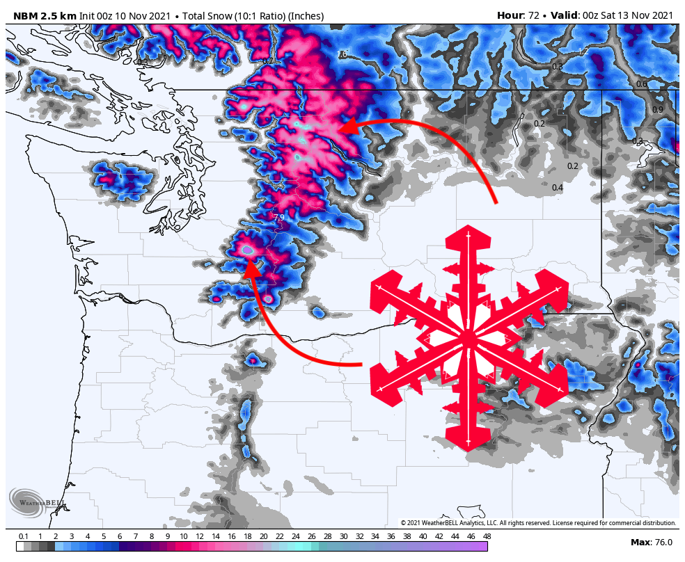
This short blast of precipitation will move through Washington on Thursday morning before a slight lull before the main moisture surge. Totals after the first wave of precipitation should be around 0.5″ for most of the mountains, with localized maximums of closer to an inch on Mt. Rainier. Anywhere below 7,000-8,000′ should see mostly rain, but elevations above 8,000 feet may see 8-10″ of snow. The summit of Rainier up at 14,000 feet could go for as much as 20-25 inches in that time frame.

Thursday afternoon – Friday night
The main moisture arrives on Thursday afternoon, and this is where things start to get pretty exciting. It’s unfortunate that temperatures aren’t a bit more forgiving for snow, since there is a lot of moisture in the main system, as seen from the European model output for precipitable water (total water in the atmosphere):

The best window for intense precipitation in Washington state is between around 2 pm on Thursday until late on Friday evening. This storm will come strongly out of the southwest, but once again, upper-level dynamics are going to be dominating this storm, so less of a precip-boost for upper-level terrain.
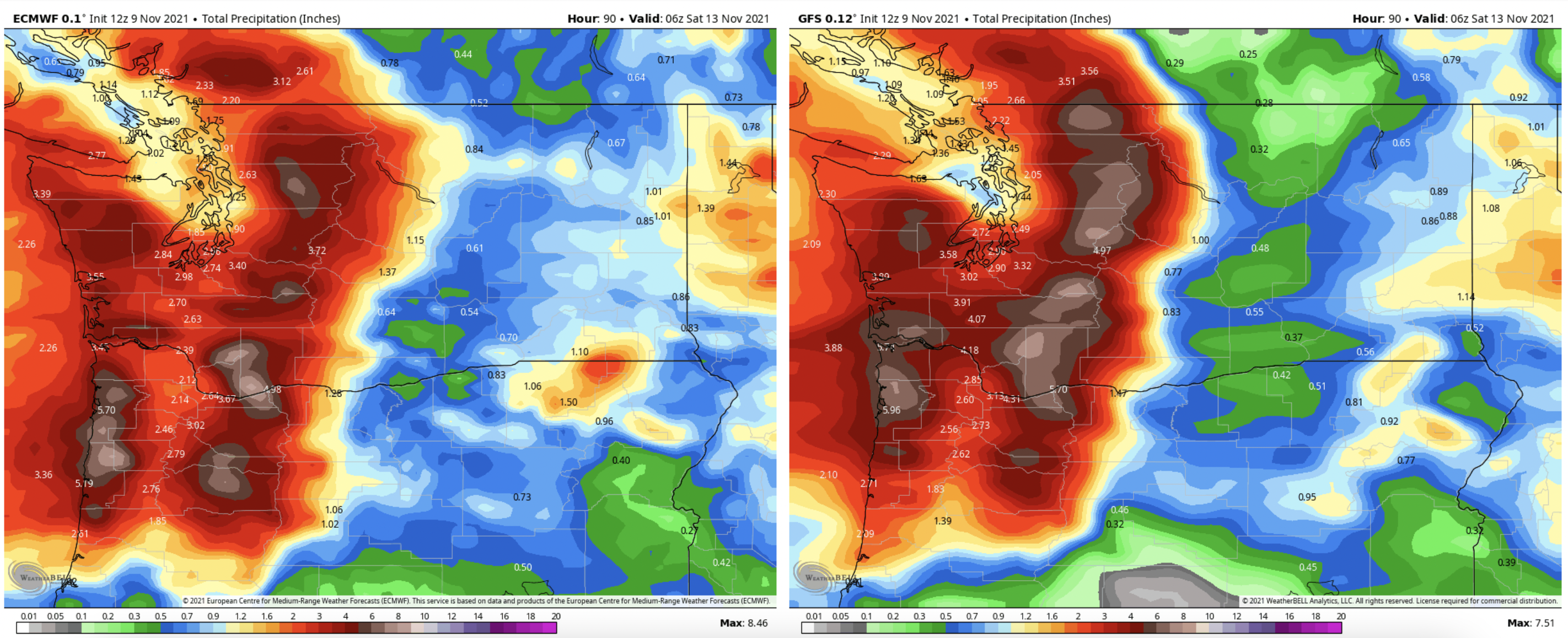
In terms of totals, I usually like to use the WPC, since it’s a blend of a bunch of different models (eliminates individual model bias) and picks up really well on terrain from some great downscaling (future article subject???). However, with this storm, I actually might shy towards a lower resolution model, since a lot of the action will be driven in the upper levels, so downscaling precipitation using terrain might over-estimate totals in the mountains. A lower resolution model output may not pick up on any orographic influence during this storm, so keep in mind that these totals might be slightly undershooting for high-elevation terrain. Below is the model output from the European (left) and American (right) models. Both are pretty consistent with each other in terms of totals by Saturday morning (see images below).
Most regions should see 4-6″ of total precipitation by the end of the event. Most mountains will likely see very little snow due to the warm temperatures, but Rainier could clock 7″ of precipitation or more, and considering forecasted temperatures at the summit, that could very easily climb up to 80-90″ by Saturday. I put 60-70″ in the summary at the top of the forecast since that’s probably a pretty safe bet, but I think Rainier has a real shot at getting absolutely buried. Should be a fun storm!