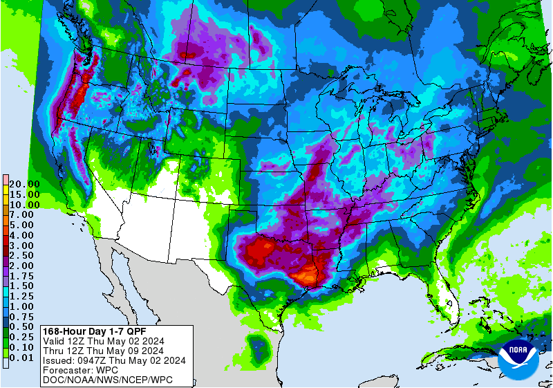
The snow just won’t stop, as another storm system is on the horizon. It is expected to impact Wyoming and Montana Wednesday – Friday. Another storm is expected to arrive in Wyoming on Monday and stick around through Tuesday.
12-24″ of snow is expected to fall in Wyoming Wednesday – Friday.


Snow levels are expected to begin around pass levels and drop to mountain bases and even the valley floors by Friday morning.
Additional Storm Information:


Wyoming: 10-20″ of Snow Wednesday – Friday
* Snow Accumulation...12 to 24 inches.
- NOAA Riverton, WY


Montana: 6-10″ of Snow Thursday – Friday
* SNOW ACCUMULATION...6 to 10 inches for foothills and areas west
  of Interstate 90 with 4 to 6 inches for eastern Plains
  locations.
- NOAA Billings, MT


Wyoming Winter Storm Watch:
URGENT - WINTER WEATHER MESSAGE
National Weather Service Riverton WY
257 PM MDT Wed Apr 26 2017

...MORE SNOW RETURNING TO WESTERN AND CENTRAL WYOMING THROUGH
FRIDAY NIGHT...

A low pressure storm system moving across the Pacific northwest
will spread increasing snow into the west tonight and Thursday.
Through Thursday the snow will spread east of the Continental
Divide across the north. The storm system will then strengthen
and close off over south central to southeast Wyoming Thursday
night with potential heavy convective snow developing over the
Big Horn mountains, Johnson, Fremont and Natrona counties.

The mountains may see 10 to 20 inches of snow with 5 to 10 inches
in the lower elevations with local 12 to 15 inch amounts possible
in the foothills areas around Buffalo, Casper and Lander. The
storm system will dig south across northern Colorado and
eventually into northern New Mexico by Saturday when the storm
will be too far south for major impacts in Wyoming.

Bighorn Mountains West-Bighorn Mountains Southeast-
257 PM MDT Wed Apr 26 2017

...WINTER STORM WATCH IN EFFECT FROM THURSDAY MORNING THROUGH
LATE FRIDAY NIGHT...

The National Weather Service in Riverton has issued a Winter
Storm Watch, which is in effect from Thursday morning through
late Friday night.

* TIMING...Snow will increase over the Bighorn mountains towards
  morning. As the storm develops heavy snow will be possible
  through Friday night.

* Snow Accumulation...12 to 24 inches.

* MAIN IMPACT...Slushy to snow packed roads will make travel
  difficult on Powder River Pass.

* OTHER IMPACTS...Heavy snow will reduce visibility below a
  quarter mile at times.
I have been so bewdeilred in the past but now it all makes sense!