Cold temperatures and above average precipitation is expect to impact the PNW. This will be a deadly combination for snow totals over the next 6-10 days.
1-2+ FEET of snow this afternoon – Friday.

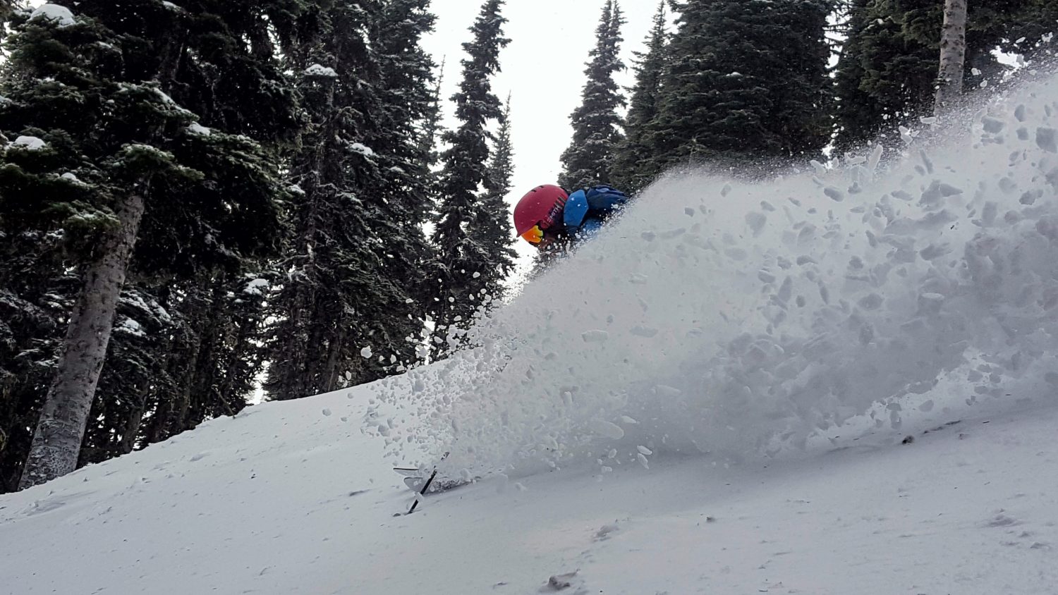
Cold temperatures will once again be present throughout this storm, which means that the precipitation at ski resorts will fall in the form of snow.
Washington: 1-2+ FEET Today – Friday
* SNOW ACCUMULATIONS...1 to 2 feet from this afternoon through
  Friday evening, except around 3 feet near Paradise at Mount
  Rainier.


Winter Storm Warning For Washington:
URGENT - WINTER WEATHER MESSAGE
National Weather Service Seattle WA
408 AM PST Thu Mar 2 2017

Cascades of Snohomish and King Counties-
Cascades of Pierce and Lewis Counties-

...WINTER STORM WARNING REMAINS IN EFFECT FROM NOON TODAY TO
MIDNIGHT PST FRIDAY NIGHT...

* SNOW ACCUMULATIONS...1 to 2 feet from this afternoon through
  Friday evening, except around 3 feet near Paradise at Mount
  Rainier.

* SOME AFFECTED LOCATIONS...Interstate 90 including Snoqualmie
  Pass, U S Highway 2 including Stevens Pass, U S Highway 12
  including White Pass, and Mount Rainier National Park

* TIMING...Snow will increase on this afternoon and evening.
  Snowfall intensity will peak on Friday and Friday evening.

* SNOW LEVEL...2500 to 3000 feet falling to 1000 to 2000 feet
  Friday evening.

* MAIN IMPACT...Travel will become difficult on snow covered
  roadways. Expect delays if traveling through the Cascades.