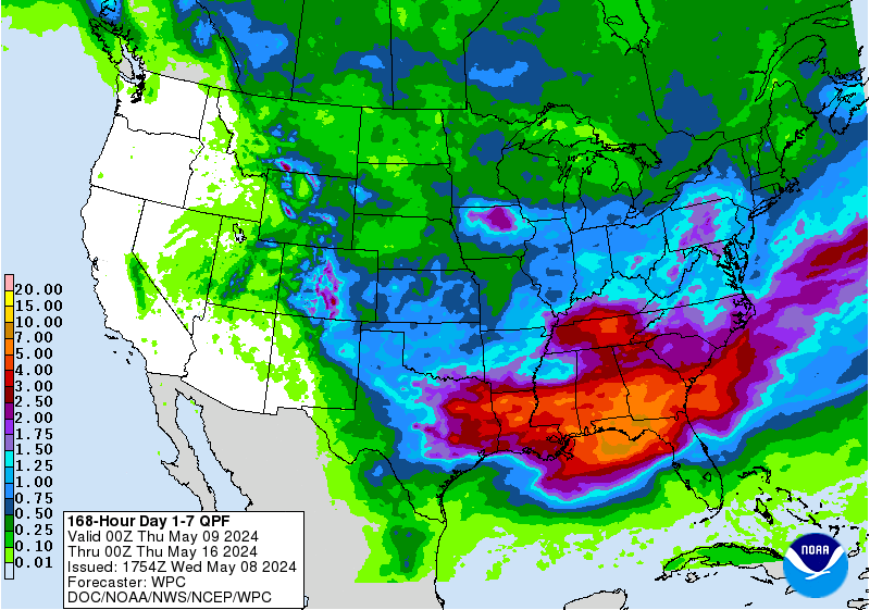
NOAA has issued Winter Storm Watches and Winter Weather Advisories all over the Western USA Today – Saturday.
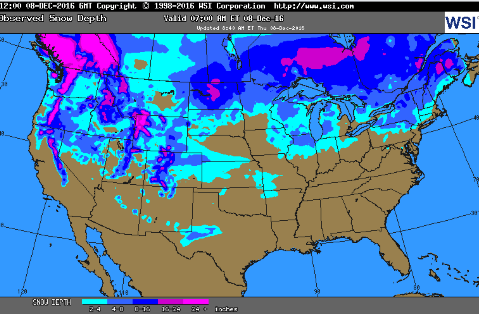
Over 36″ of snowfall possible for Utah and 26″ for Washington
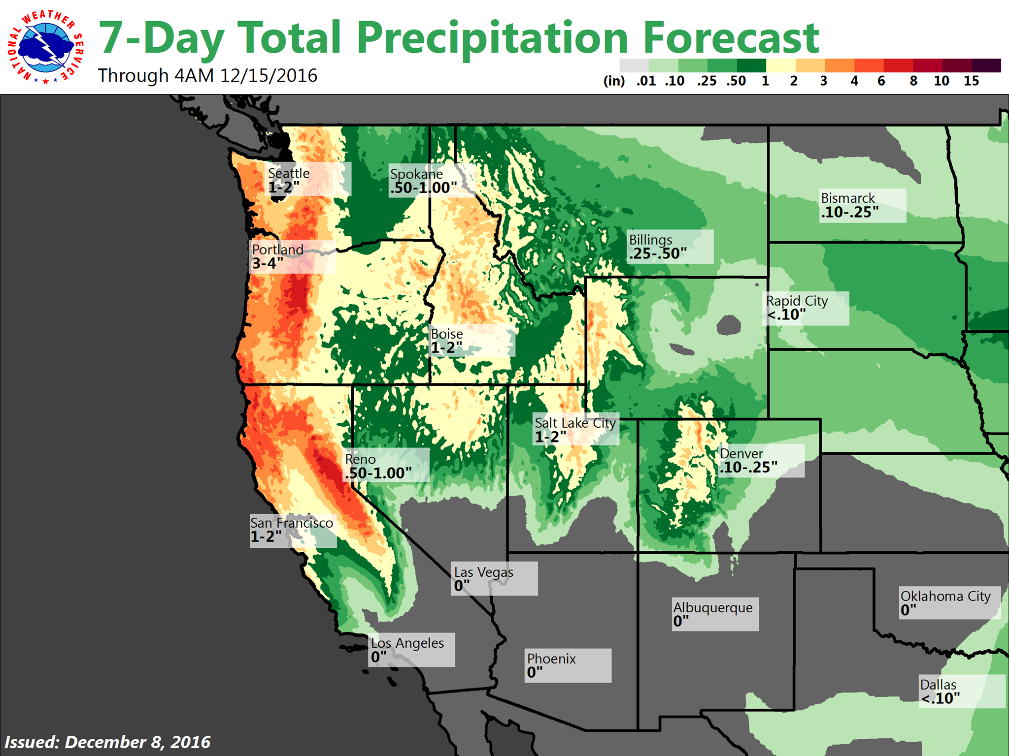
It’s not all good news, though… Many of these advisories are calling for Freezing Rain… It’s raining right now in Lake Tahoe, CA…
We’ve outlined it all state by state below.
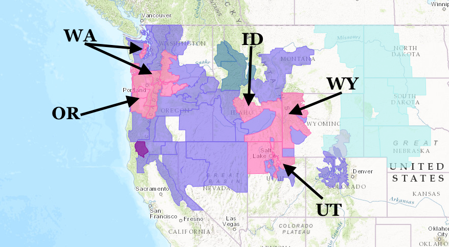
NOAA has issued Winter Storm Warnings today for:
- Washington
- Oregon
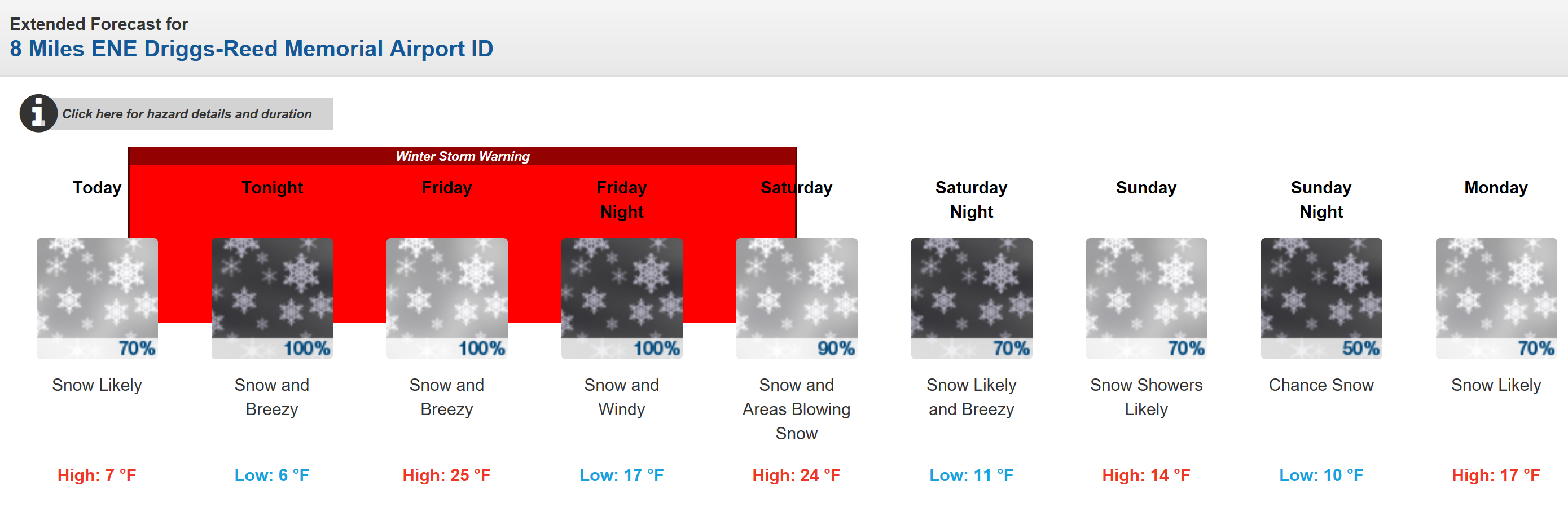
- Idaho
- Wyoming
- Utah
NOAA has issued Winter Storm Watches today for:
- California
- Nevada
- Utah
- Colorado
- Wyoming
- Idaho
- Oregon
- Montana
- Washington
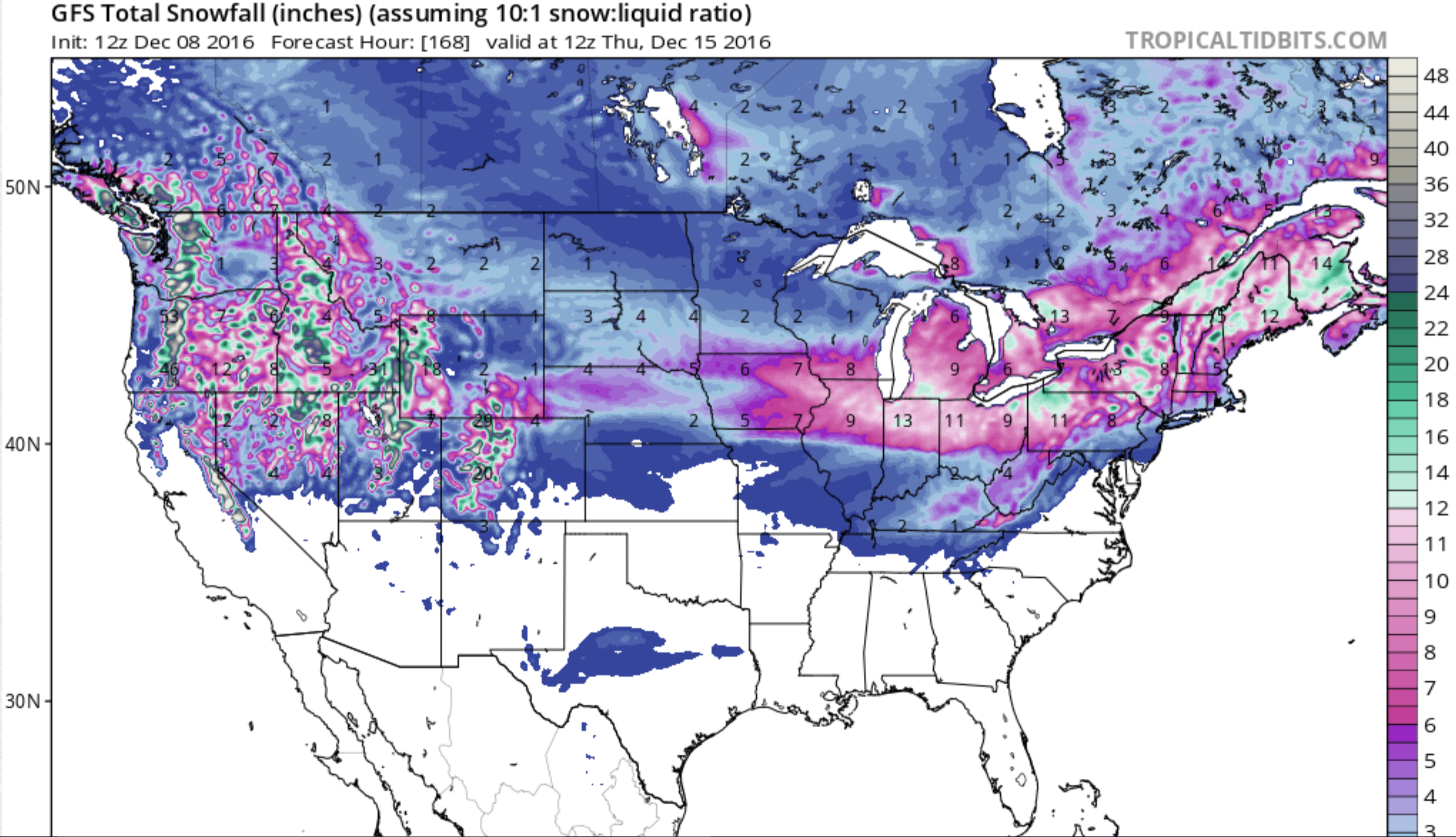
SNOWFALL FORECASTS THURSDAY ON by STATE:
Oregon: 8-16″
* SNOW ACCUMULATIONS...8 TO 16 INCHES...HEAVIEST NEAR MOUNT HOOD.
* PRECIPITATION SHOULD CHANGE TO RAIN BELOW 4500 FEET
-NOAA Portland, OR Today
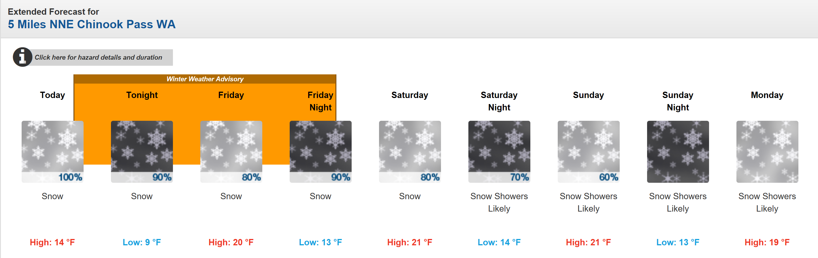
Washington: 18-26″
* SNOW ACCUMULATIONS...9 TO 14 INCHES OF SNOW IN THE VALLEYS ANDIN THE MOUNTAINS 18 TO
  26 INCHES.
* SNOW LEVEL...VALLEY FLOOR. RISING TO 1200 FEET SATURDAY.
-NOAA Seattle, WA Today
Idaho: 16-25″
* SNOW ACCUMULATIONS...6 TO 10 INCHES THURSDAY AND FRIDAY ABOVE7000 FT...AND ANOTHER
  10 TO 15 INCHES FRIDAY NIGHT AND SATURDAY.
* SNOW LEVELS RISE TO ABOVE 5000 FEET.
-NOAA Boise, ID Today
Wyoming: 18-28″
* TOTAL SNOWFALL...12 TO 18 INCHES ALONG THE GROS VENTRE RANGE AND
  18 TO 28 INCHES ALONG THE TETON RANGE EXPECTED. 8 TO 12 INCHES
  POSSIBLE IN THE JACKSON VALLEY.
* SNOWFALL WILL DECREASE TOSNOW SHOWERS SATURDAY AFTERNOON.
-NOAA Cheyenne, WY Today
Utah: 18-36+”
* SNOW ACCUMULATIONS...18 TO 36 INCHES THROUGH SATURDAYAFTERNOON. LOCALLY GREATER
AMOUNTS POSSIBLE...ESPECIALLYTHROUGH THE NORTHERN WASATCH RANGE.
* AFFECTED AREA...THE WASATCH AND WESTERN UINTA MOUNTAINS OFNORTHERN UTAH.
- NOAA SLC, UT today