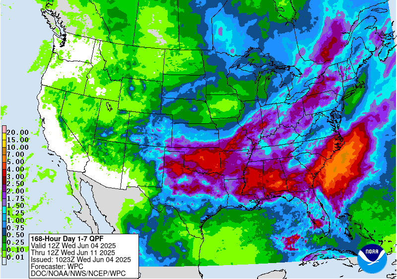
The National Weather Service has issued Winter Storm Watches for much of the East Coast. They are in effect from mid-day Friday – mid-day Saturday. Ice accumulations are likely, as mixed precipitation is forecasted to fall before the snow does.
NOAA Has Issued A Winter Storm Watch For:
- New York
- Pennsylvania
- Vermont


On Friday, a mix of snow and rain is forecasted to fall, which could result in ice accumulation, but after that, snow is expected to fall at all elevations.
Additional Storm Info:


New York: 6-12″ of Snow Friday – Saturday
* Total snow accumulations of 6 to 12 inches
  and ice accumulations of up to one tenth of
  an inch are possible.
- NOAA Buffalo, NY


Pennsylvania: 6+” of Snow Friday – Saturday
* Total snow accumulations of more than 6
  inches and ice accumulations of up to one
  tenth of an inch are possible.
- NOAA State College, PA


Vermont: 4-8″ of Snow, With Up To 10″, Friday – Saturday
* All of northern New York and the northern tier of
  Vermont will have the potential to receive 4 to 8 inches
  of snow with localized amounts up to 10 inches.
- NOAA Burlington, VT

