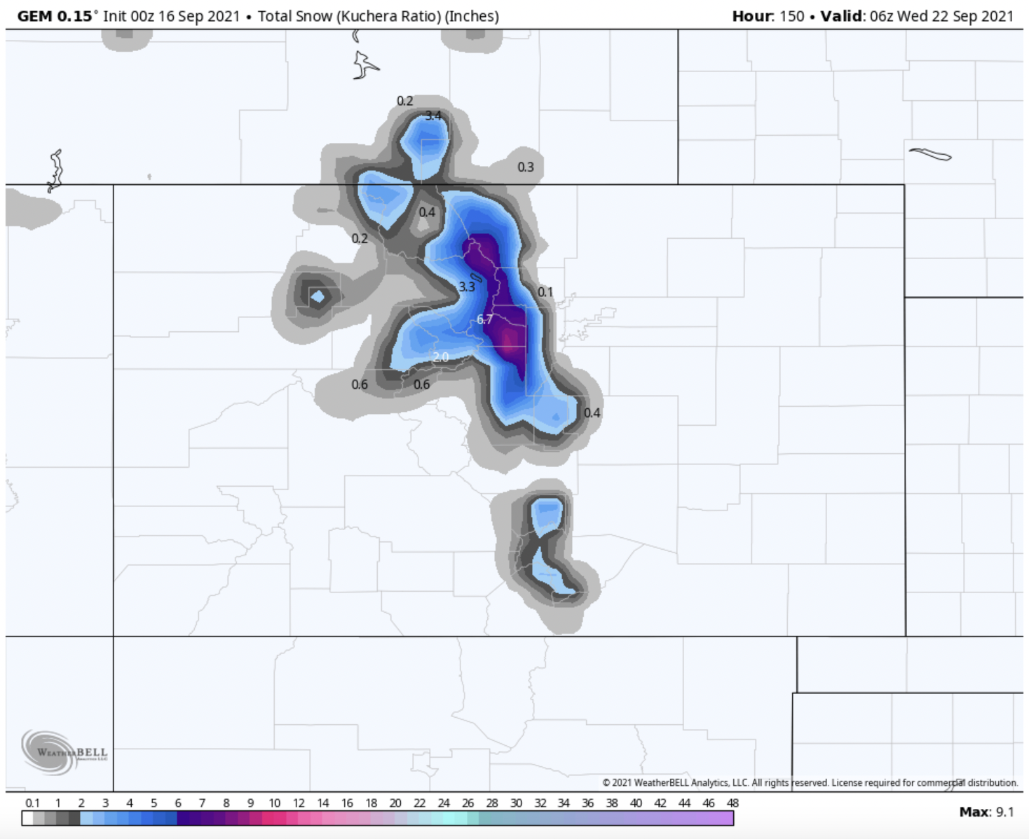
UPDATE: The storm has shifted further north since the time of posting, which will yield much lower totals in Colorado.
Winter is right around the corner, and the weather seems to agree as well! This weekend, a major fall trough system will move through the Western US and bring significant snow totals to upper elevation areas.
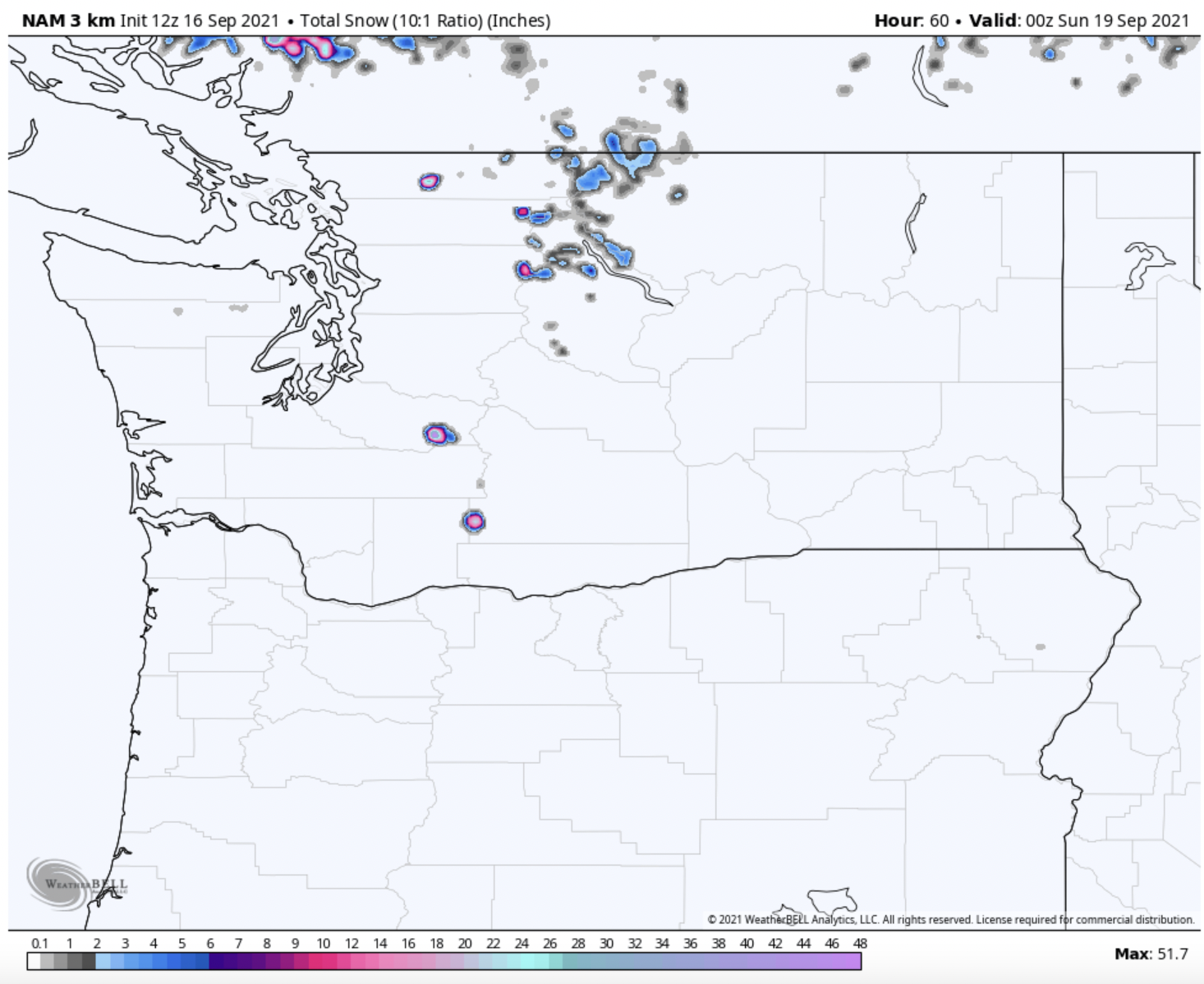
The storm will first move into the Pacific Northwest region early on Friday, September 17. The system will gradually move south, heading into Saturday and Sunday, bringing accumulation to Oregon and Northern California.
In terms of totals, the highest accumulations will be found on the summits of the volcanoes, which are the highest summits in the region. The summits of Mt. Baker and Mt. Rainier could easily see accumulations upwards of 50-60 inches by Sunday evening. Mt. Hood should receive about 20″ of snow at the summit. Snow levels in the region should get down to about 7,000′.
The system will move south into California, which will bring much-needed rain to the region. Upper elevation areas, however, should see decent snowfall. Mt. Shasta, located in Northern California, should receive 12-15″. The southernmost extent of the precipitation in the Sierra Nevada should be about Sonora Pass. Anything above 10,000 feet in the Lake Tahoe and Northern Sierra region should see at least a few flakes, though significant accumulation is unlikely.
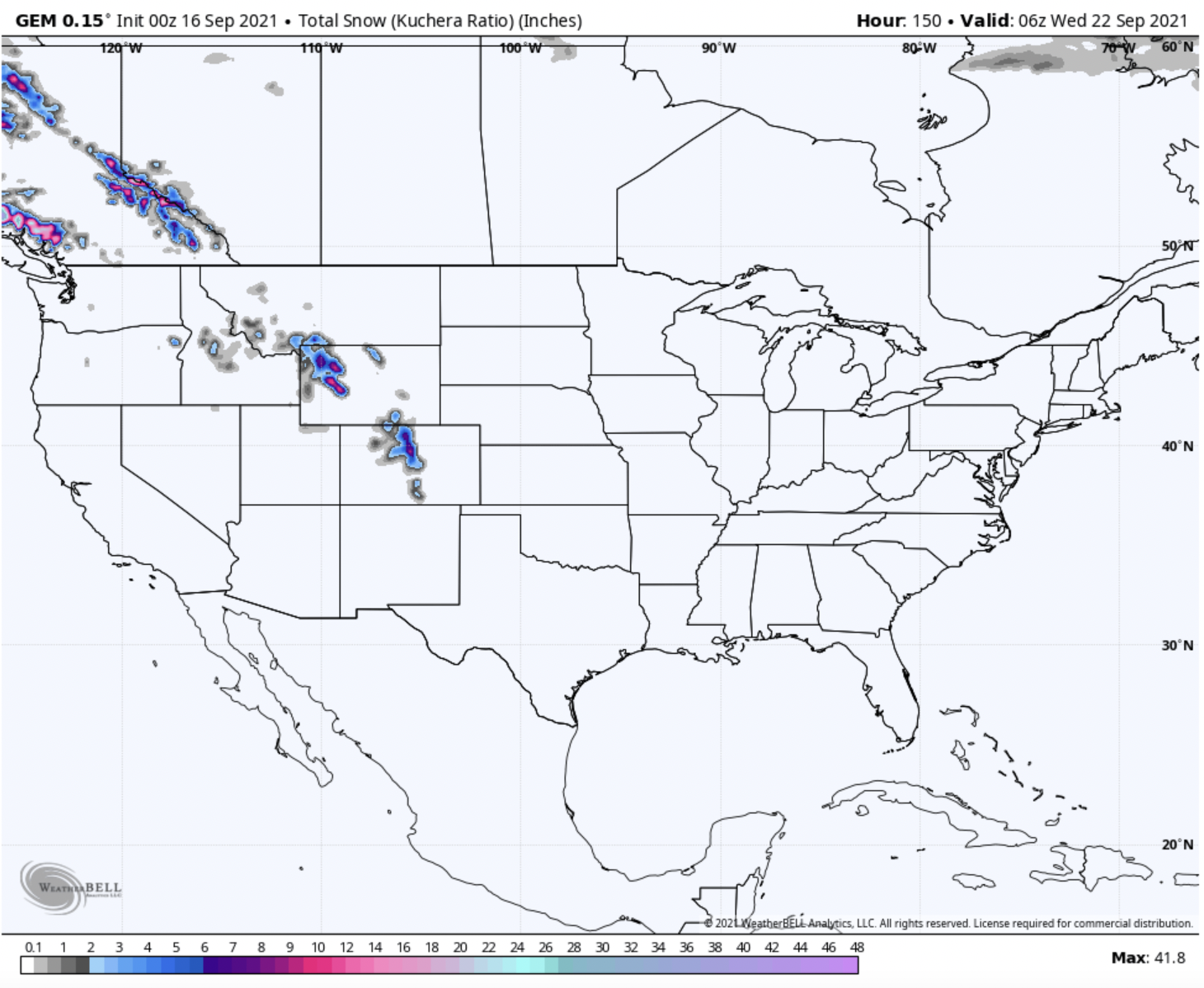
Other areas in the Western US should also receive fairly significant snow. Mountainous regions of Utah, Idaho, Montana, Wyoming, and Colorado should all see snowfall early next week, with the greatest change on Monday and Tuesday.
Alta Ski Area in Utah could see a dusting on Sunday and Monday. Kings Peak, the state’s high point, could see up to an inch.
Wyoming will see better snow totals since it’s situated slightly further north, right in the storm’s primary track. Upper elevations of the Tetons could see about 5″, with the snow level dropping all the way down to about 9,500 feet. Areas further east, like the Wind River and Big Horn mountain ranges, should receive slightly higher totals, with a good chance at 6-8″ up high.
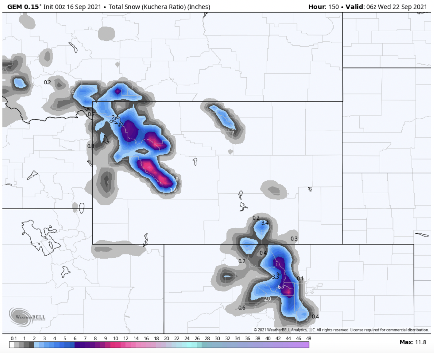
Most elevations above 8,000′ should see some flakes on Monday and Tuesday in Colorado; however, the largest totals will be further north. Longs Peak, located in RMNP, should see between 6-8″. Most upper peaks in the Northern part of the state will see accumulations of about 4″.
Fingers crossed that this system is the first of many snow-bearing storms this fall!
https://pagead2.googlesyndication.com/pagead/js/adsbygoogle.js
(adsbygoogle = window.adsbygoogle || []).push({});