NOAA has issued Winter Storm Watches for 5 different regions of Colorado Tuesday – Thursday this week.
NOAA is forecasting 4-8″ of snow near 9,000-feet and up to 12″ of snow on mountain passes and above treeline.
* SNOW ACCUMULATION...4 TO 8 INCHES OF SNOW IS POSSIBLE AROUND
  9000 FEET. UPWARDS TO 12 INCHES OF SNOW IS POSSIBLE AT THE
  MOUNTAIN PASSES AND ABOVE TIMBERLINE. - NOAA Grand Junction, CO today

Snow levels will start high, but will quickly drop to 8,000-feet by Wednesday morning and then to valley bottoms by Thursday morning.
SNOW LEVELS SHOULD QUICKLY LOWER TO AROUND 8K BY
WEDNESDAY MORNING BEHIND THE COLD FRONT.
- NOAA Grand Junction, CO today
SNOW LEVELS LOWERING TO NEAR THE VALLEY BOTTOMS BY THURSDAY MORNING. - NOAA Grand Junction, CO today
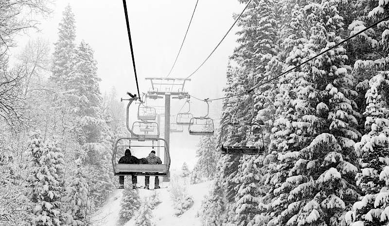
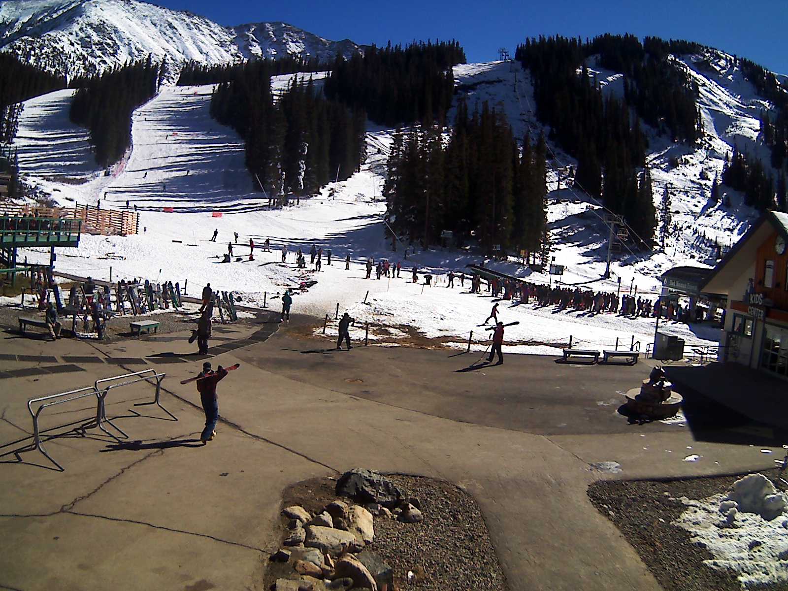
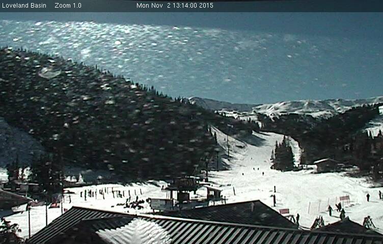
Don’t forget that Loveland & Arapahoe Basin ski resorts are open daily right now in Colorado… Powder day, anyone?
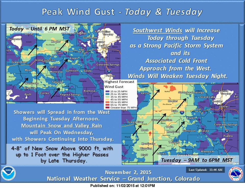
“Southwest winds will increase this afternoon through Tuesday ahead of a strong Pacific storm system and its leading cold front. Mountain snow will arrive by Tuesday night as the cold front passes. Mountain snow and valley rain will peak on Wednesday and then continue into Thursday. Snow levels will fall Wednesday night with a mix of rain and snow possible in the lowest valleys. The mountain passes and above timberline could receive upwards to 12 inches by late Thursday.” – NOAA Grand Junction, CO
NOAA’s WINTER STORM WATCH for COLORADO:
URGENT - WINTER WEATHER MESSAGE
NATIONAL WEATHER SERVICE GRAND JUNCTION CO
1109 AM MST MON NOV 2 2015

...WINTER STORM WATCH REMAINS IN EFFECT FROM TUESDAY EVENING
THROUGH THURSDAY MORNING ABOVE 9000 FEET...

* LOCATIONS INCLUDE THE CITIES OF...SKYWAY...TAYLOR PARK...
  TRAPPERS LAKE...TELLURIDE...SILVERTON...RICO.

* TIMING...SNOW IS EXPECTED TO INCREASE TUESDAY NIGHT WITH PERIODS
  OF SNOW THROUGH THURSDAY MORNING. TIMING OF THE HEAVIEST
  PRECIPITATION IS MOST LIKELY TO OCCUR EARLY WEDSDAY MORNING
  THROUGH EARLY WEDNESDAY EVENING.

* SNOW ACCUMULATION...4 TO 8 INCHES OF SNOW IS POSSIBLE AROUND
  9000 FEET. UPWARDS TO 12 INCHES OF SNOW IS POSSIBLE AT THE
  MOUNTAIN PASSES AND ABOVE TIMBERLINE.

* WINDS...SOUTHWEST 15 TO 25 MPH WITH GUSTS UP TO 40 MPH. LOCAL
  GUSTS TO 60 MPH WILL BE POSSIBLE ABOVE TIMBERLINE ON TUESDAY
  EVENING.

* IMPACTS...THE COMBINATION OF ACCUMULATING SNOW AND WIND COULD
  MAKE TRAVEL DIFFICULT. POOR VISIBILITIES FROM SNOW AND FOG
  WILL EXIST OVER THE MOUNTAIN PASSES.
One thought on “NOAA: Winter Storm Watch for 5 Regions of Colorado This Week | Up to 12″ Forecast”