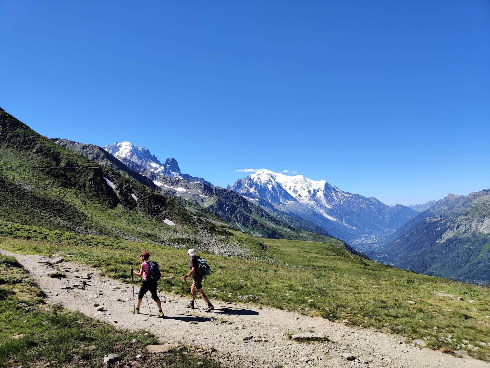
The latest product from the outdoors-focused company onXmaps is the app onX Backcountry. This newest offering is the third in onX’s lineup of GPS-oriented apps dedicated to outdoorsmen and explorers. With the number of backcountry skiers having increased dramatically in recent decades, the need for a product tailored toward those leaving the resorts behind has never been greater.
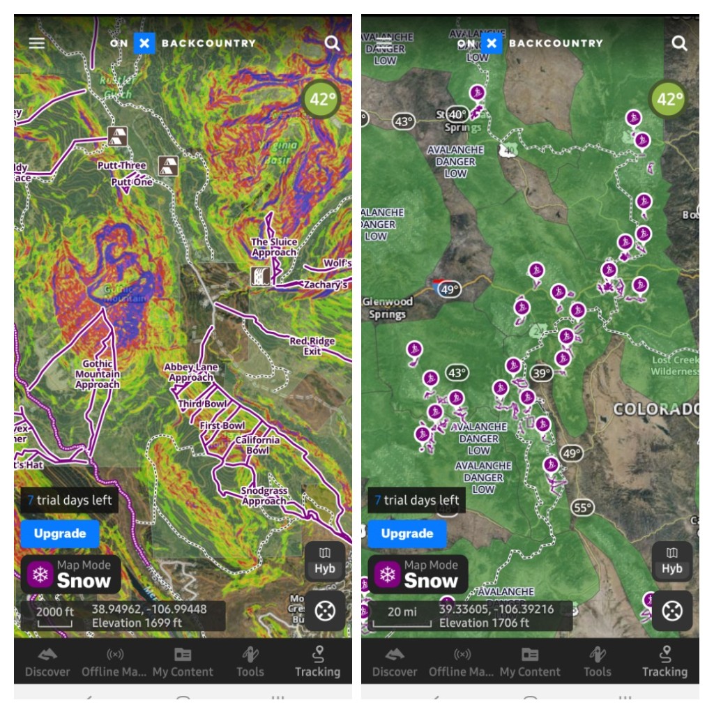
The app provides a year-round tool, with the Snow and Trail Map Modes. In ‘Snow Map Mode’, users can filter between ski touring, cross-country skiing, and snowshoeing activities. When selecting a route, one can quickly find an overview, with information such as max and min elevation, distance, description, and user-submitted photos. Layers in the map include avalanche forecast and slope angle.
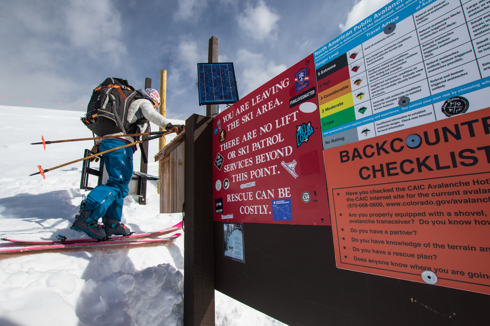
These are only a few factors involved in predicting avalanche risk, and one of the best tools one can have is the proper AIARE (American Institute for Avalanche Research & Education) training under their belt. OnXmaps has become a major partner with the American Avalanche Association. This has led to partnering with local avalanche centers around the country giving accurate, up-to-date forecasts wherever applicable. On the heels of Avalanche Awareness Month in November, lowering the odds of avalanche-related incidents and increasing skier safety is a top priority.
The app was also designed with hikers and backpackers in mind. In ‘Trail Map Mode’, hiking trails are easy to pinpoint and visualize. Similar to the winter counterpart, trail information is readily available. In both modes, a number of helpful tools are present like live GPS tracking of a route, adding photos and waypoints, and marking present location on the map. The app and website platforms offer 2D and 3D map browsing, with 3D currently available only to iOS and web users. There is a free version that comes with a 7-day trial of the premium version, which a subscription to costs $29.99/year. The free version only comes with base maps and local weather, while the premium will give you numerous other features.
Check out their website for information and a link to download the app: https://www.onxmaps.com/backcountry/app