The Powder Buoy is a story of how a financial planner created a cult following over a National Oceanic and Atmospheric Administration (NOAA) weather buoy floating in the middle of the Pacific Ocean. The story begins in 2004 when Michael Ruzek, a skier and financial planner living in Park City, Utah, was chatting with one of his clients, Hank Manninen. Manninen, a retired engineer, was enjoying splitting time between Hawaii and Utah. While in Hawaii, Manninen began to notice how surfers were relying on a NOAA weather buoy. Like a true engineer Manninen was, he started to connect the dots and concluded that the buoy’s movements were linked to storm cycles in Utah’s Wasatch Mountain range. No way, right?
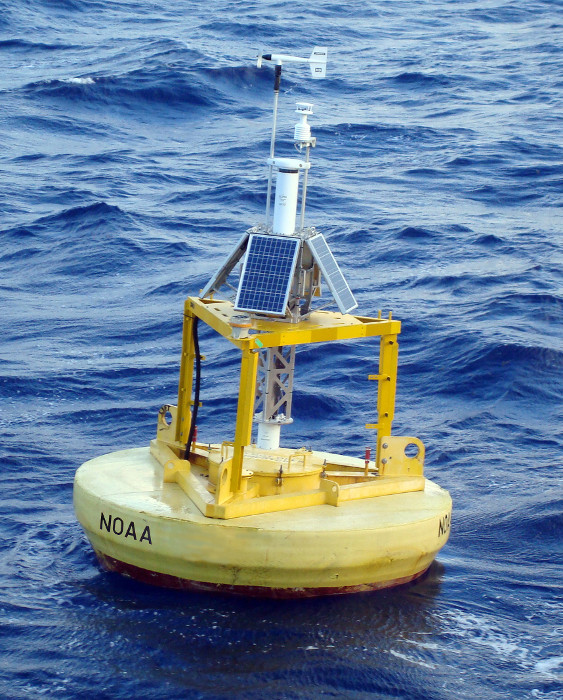
Like most who first heard this, Ruzek was skeptical. How could a buoy 3,000 miles away actually predict a powder day? There was only one way to find out… put the buoy to the test. The buoy at station 51101 is a scientific instrument designed to track various meteorological factors, including the all-important Significant Wave Height (WVHT). The WVHT is the average height of the highest one-third of the waves during a 20-minute sampling period. Ruzek began tracking the WVHT data and monitoring its correlation to storms hitting the Wasatch.
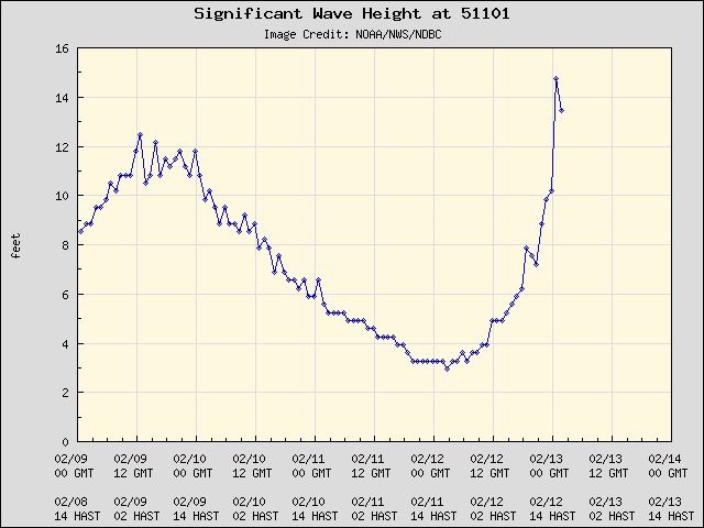
When the buoy “popped” or reached a certain height, it was an indicator that a storm would hit the Wasatch in about two weeks. However, this wasn’t 100% accurate, but there was enough correlation that Ruzek would start taking time off of work in hopes of cashing in on a pow day. As the season went on, Ruzek checked the NOAA buoy at station 51101 daily to balance his work, family, and ski lifestyle.
How strange is the powder buoy? Most serious skiers have some sort of alternative snow forecast model to plan ahead during the ski season. Some use the age-old farmer’s almanac, study meteorology, wait to see if the groundhog has seen his shadow, and many more. So, who’s to say that this buoy floating in the Pacific Ocean can’t be a legitimate forecast model?
The case for legitimacy
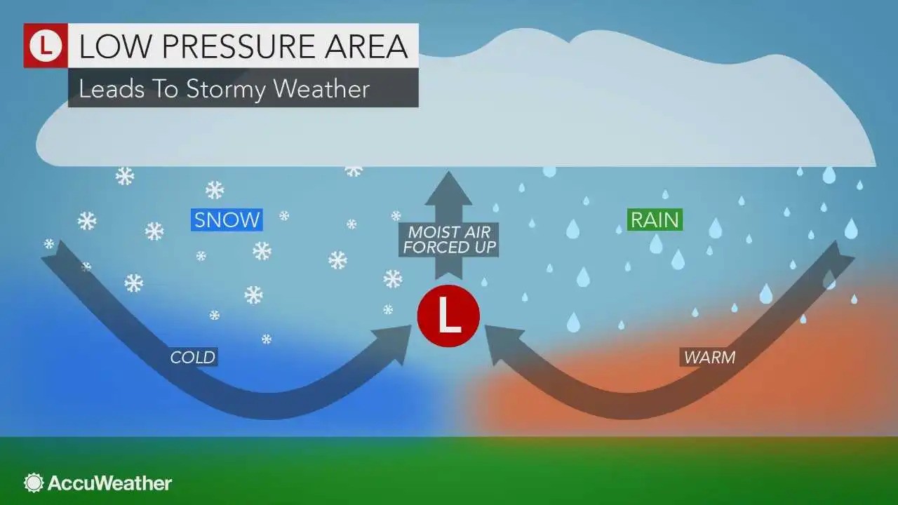
Basically, the entire basis of how the buoy popping indicates an incoming storm is due to the buoy sniffing out a low-pressure system. A low-pressure system will cause the wave height to increase, and depending on the strength of the system it can cause a dramatic increase in wave height. A low-pressure system is essential for major snowfall: it allows moisture to lift and form clouds that are just itching for the right time to dump precipitation (hopefully in the form of snow).
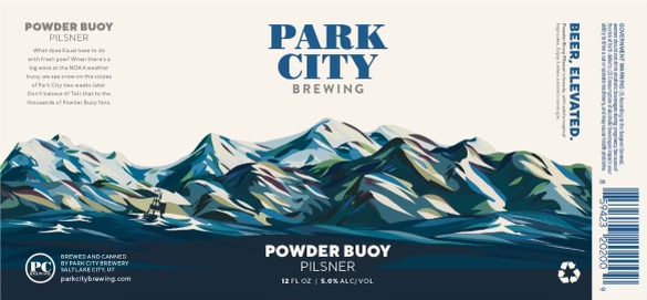
To share the secrets of the buoy, in 2013, Ruzek and his friends created a Facebook page named Powder Buoy. This is when the legend of the Powder Buoy truly took off. Jodi Saeland, a local meteorologist, contacted Ruzek. Saeland explained to Ruzek that a group of the Brighton Ski Team parents had foregone scientific weather predictions and decided to rely on the Powder Buoy instead. The craze had begun, and an entire community formed around a three-meter foam buoy in the Pacific Ocean.
Since then, a website that tracks the buoy has been created. Its popularity has continued to grow over the last 20 years because it theoretically can outpace the 10-day forecast, which is the most standard forecasting tool used to track storms. With standard weather forecasts, anything around 10 days or longer sees 50% or less accuracy. That begs the question: how can thousands of data points used to predict a 10-day forecast fail to be more accurate than one buoy in the middle of the ocean?
Ruzek monitored the buoy pops in 2021 to determine the accuracy. Eight of the 12 buoy pops Ruzek followed resulted in Utah snowfall. That is a 66% accuracy in storm predictions between October and January. While it is not perfect, it is certain to make storm tracking fun.
As I was researching the Powder Buoy, I noticed that the buoy popped on March 14. Powder Buoy posted on social media that they anticipate a storm around March 24 and 26. Why is it not exactly 14 days after the date of the pop? I’m not sure, but I will leave it to the expert Ruzek for that call.
The legend of the Powder Buoy lives as long as the stoke and storms keep coming. This year marks the 20th year since the idea was shared between Manninen and Ruzek. So maybe this is the sign to give the Powder Buoy a shot, schedule some “sick days,” and see the magic that has grasped the hearts of many for yourself. Yeah, buoy!