Report from May 20, 2023
Brought to you by Mono County Tourism
In 2006, I skied Mt. Esha and swore I’d never ski it again…
It’s a long walk for a short ski.
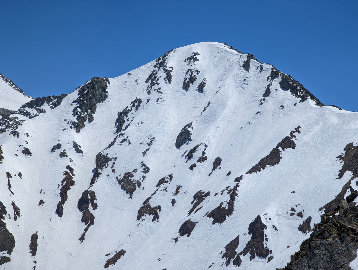
But I just saw the face of Esha from a bird’s eye view while on top of the “Wineglass Couloir” 2-days ago on May 18.
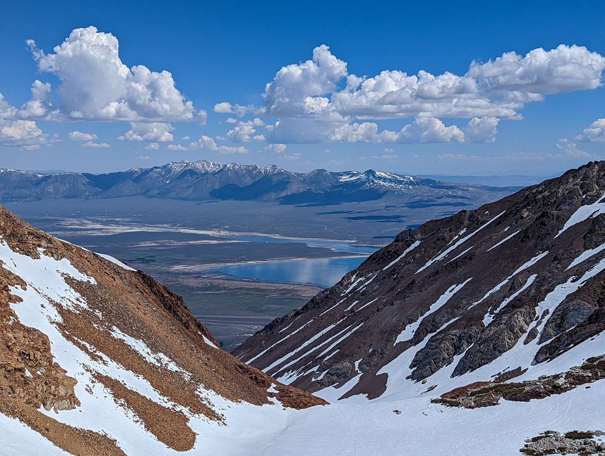
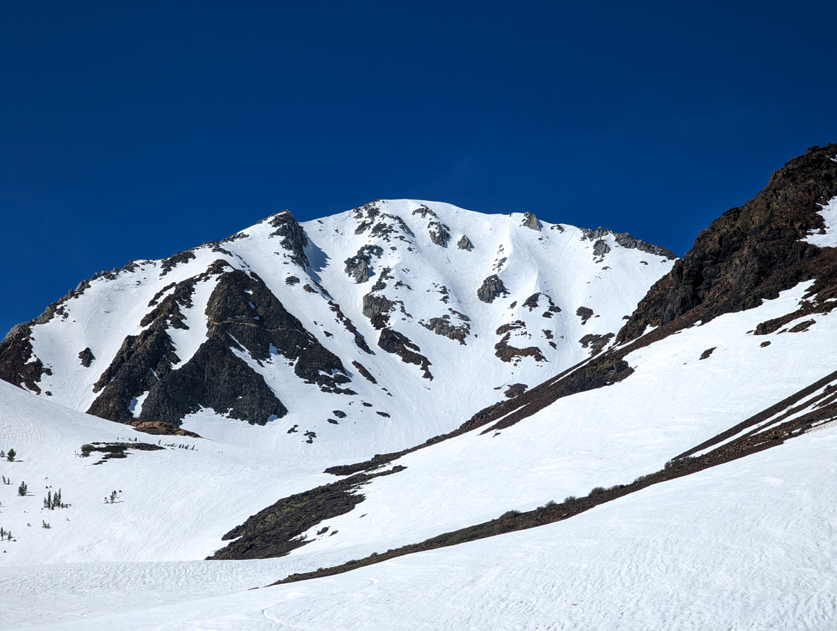
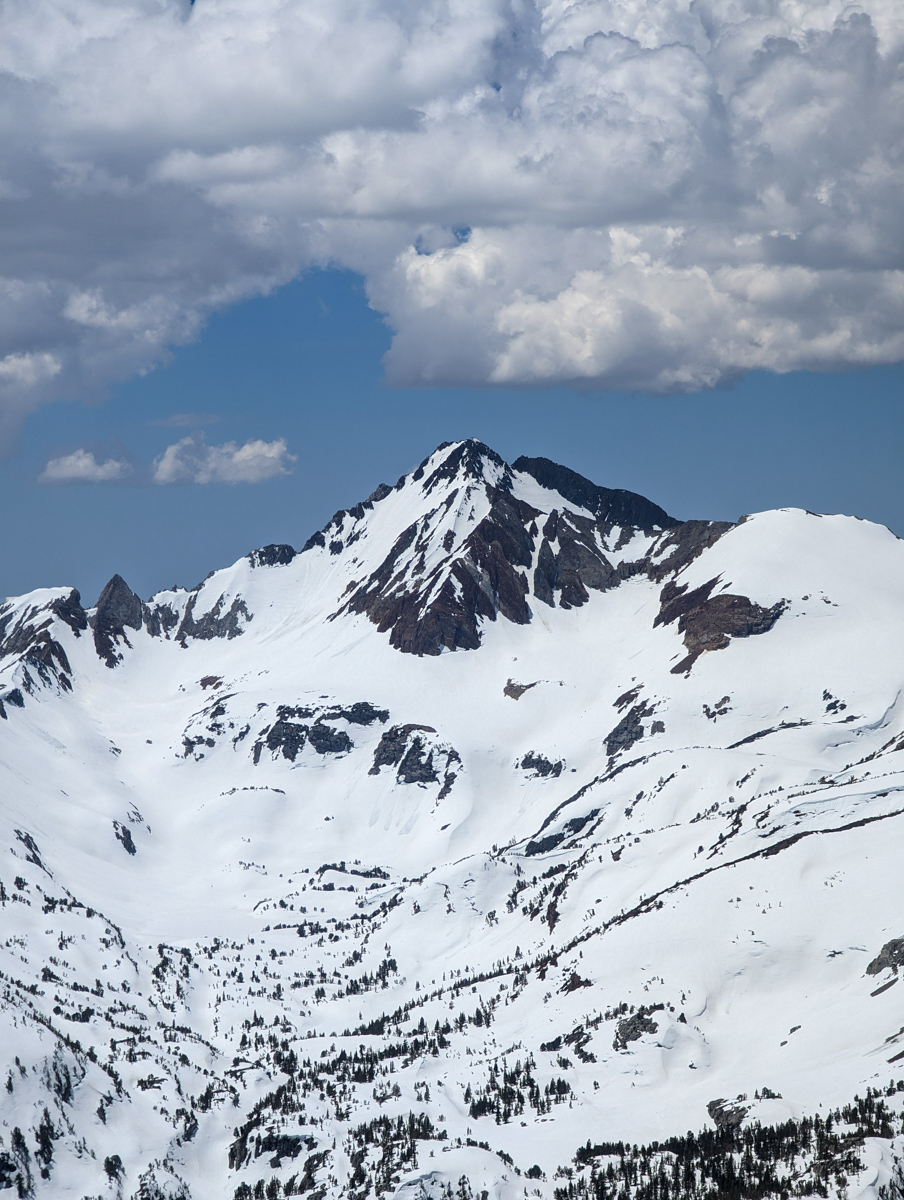
The face of Esha looks glorious from that perch.
It looks almost Alaskan…
As soon as I saw it from that angle, I knew I had to ski it.
Again…
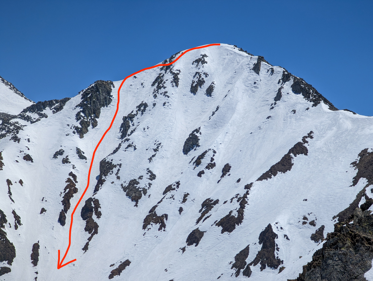
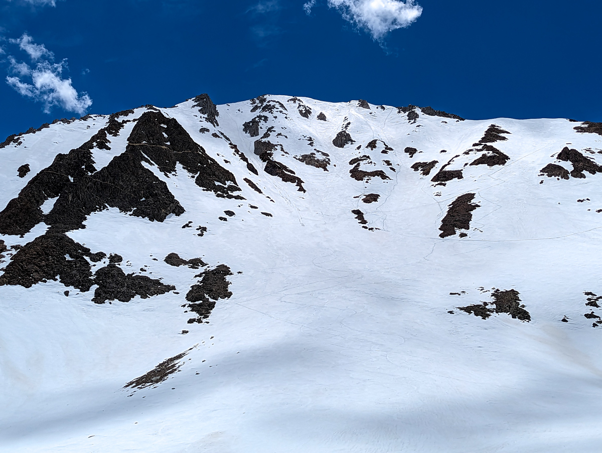
12,200′ Mt. Esha, CA – “2nd Chute”
- Summit: 12,200′
- Car: 7,600′
- Vertical From Car: 4,600′
- Vertical skied: 1,600′ on the face of Esha
- Max Pitch: 40º
- Avg Pitch: 38º
- Aspect: Northeast
- Distance: 8.2-miles round trip
- Time From Car to Top: 4 hours & 25 minutes
- Car to Car Time: 6 hours
- Recommended Equipment: Skins, crampons, ski crampons
- **Note: The best move here I learned today is to climb up Esha, ski one of the chutes on its face, then as soon as you complete the chute, cut hard skier’s left, put your skins on, skin up to the ridge, traverse over to the top of Wineglass Couloir, and ski Wineglass back down to the road and walk to your car – the adds up to a lot more vertical feet skied
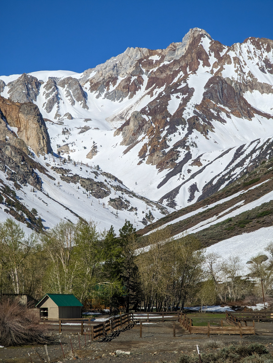
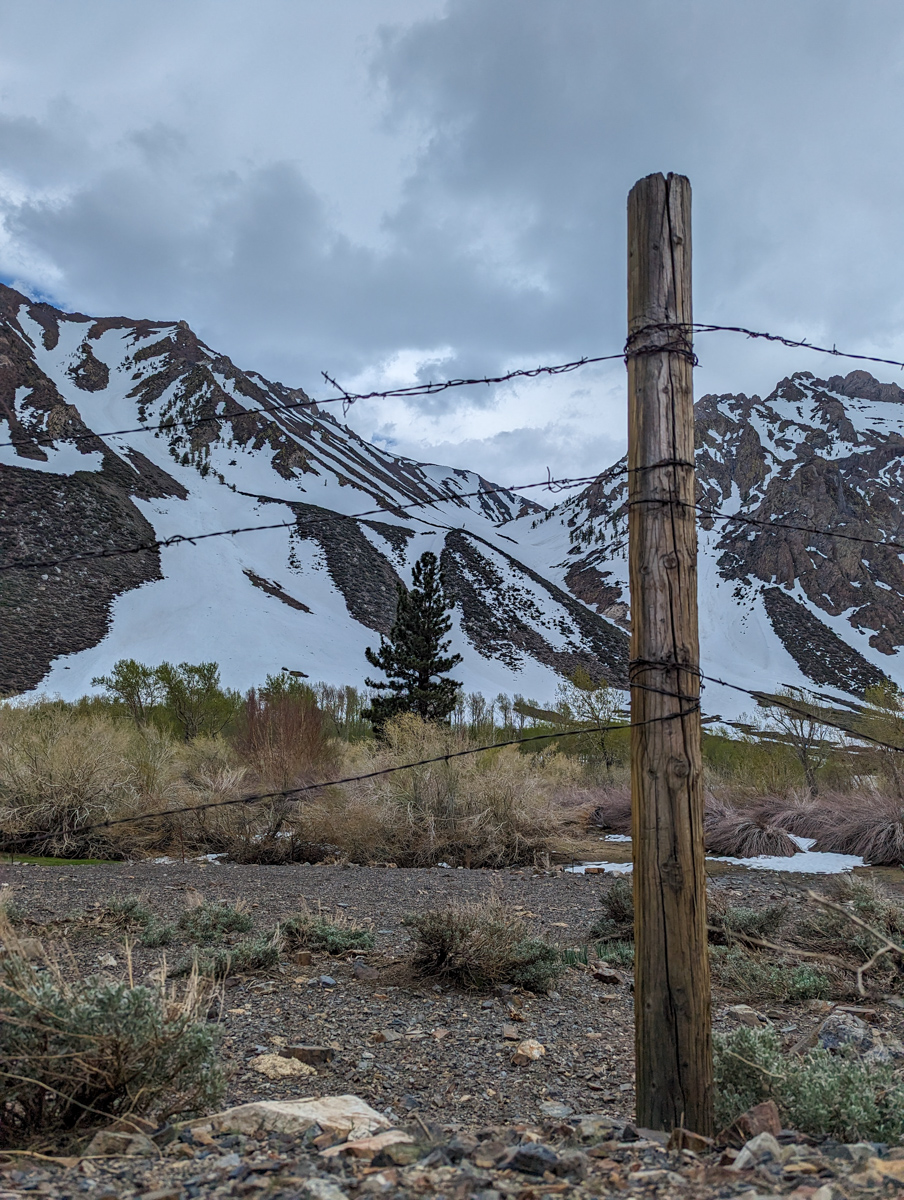
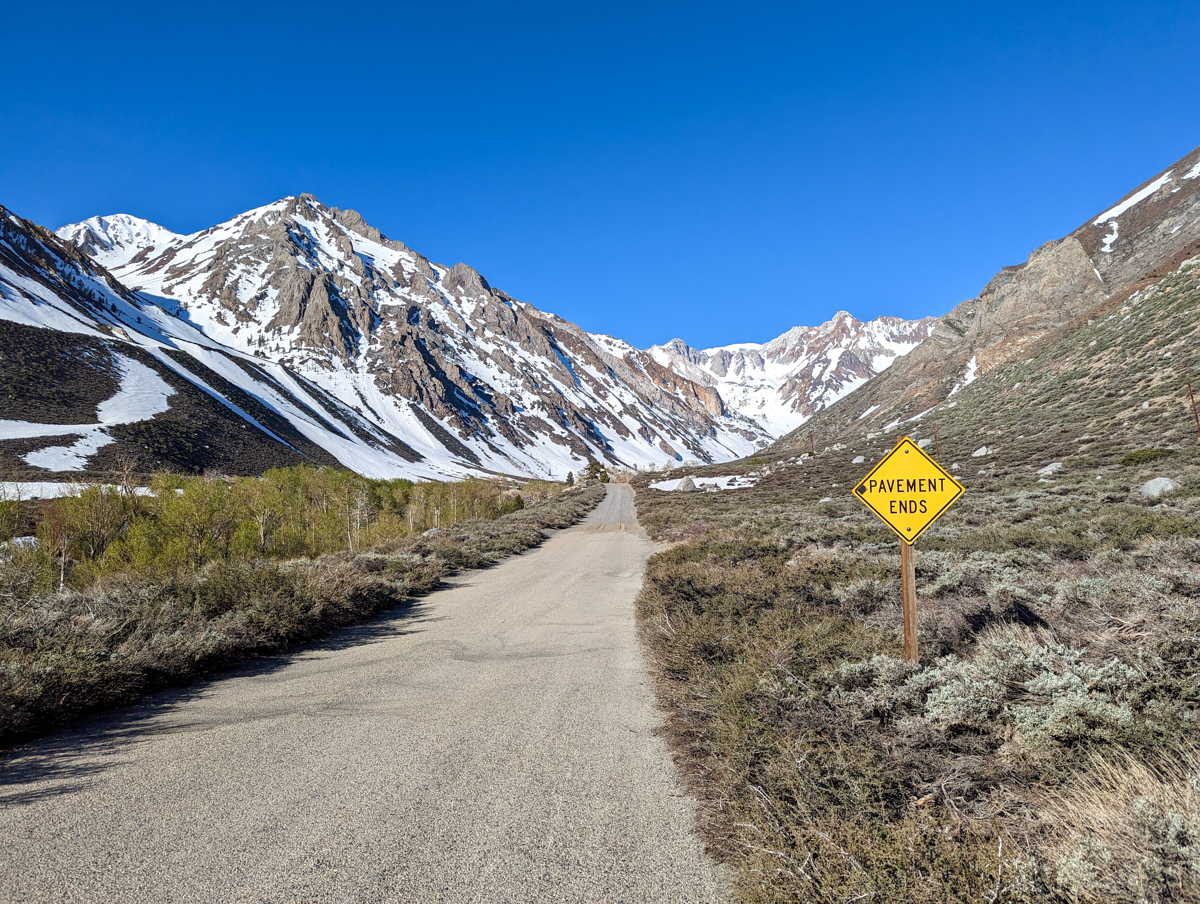
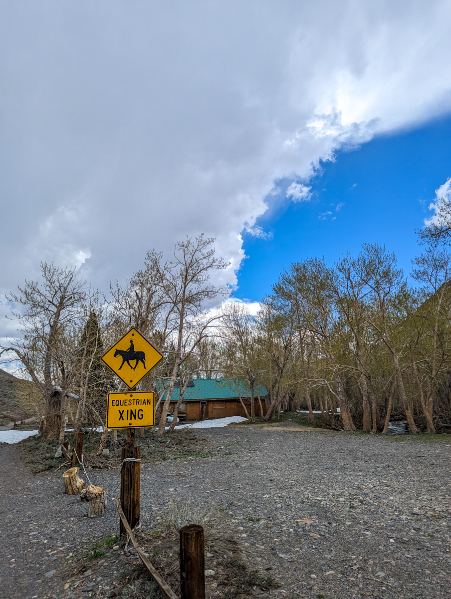
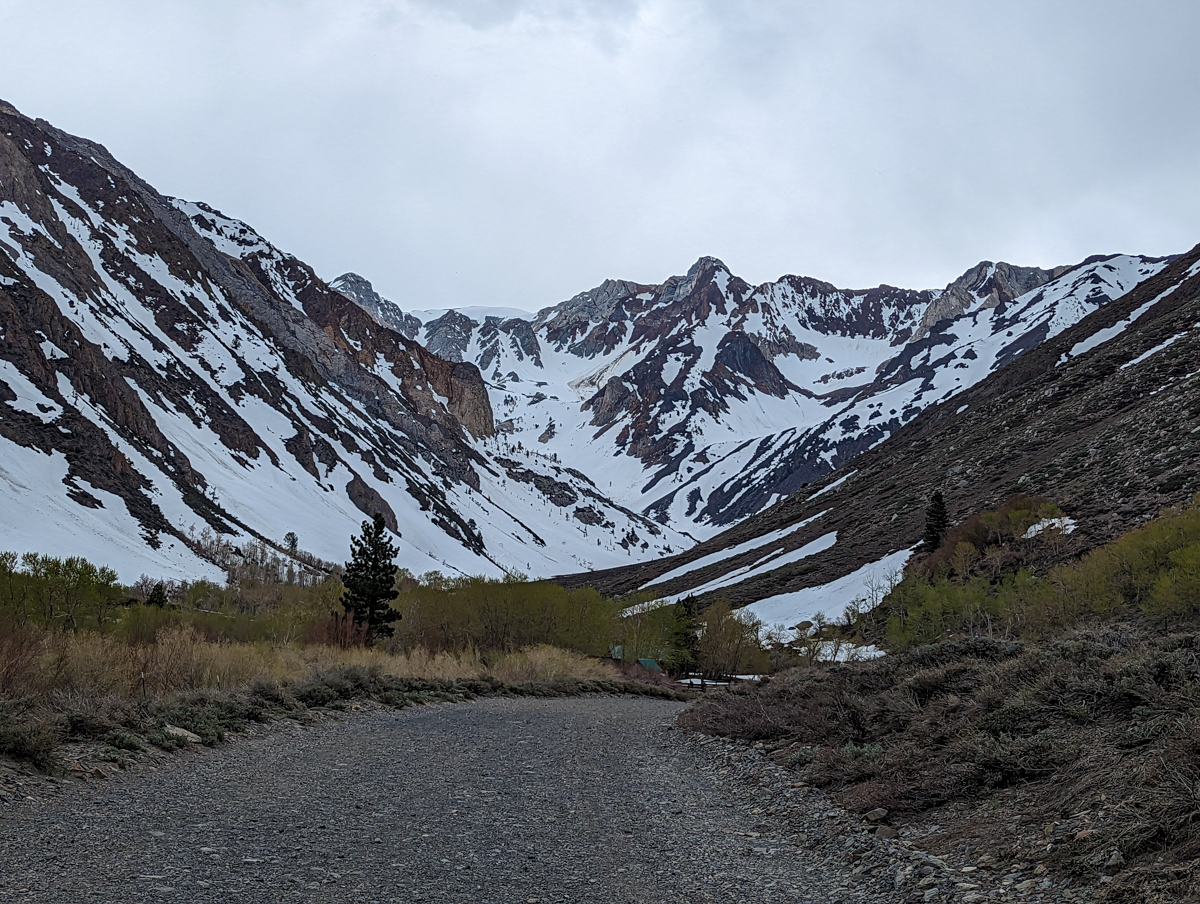
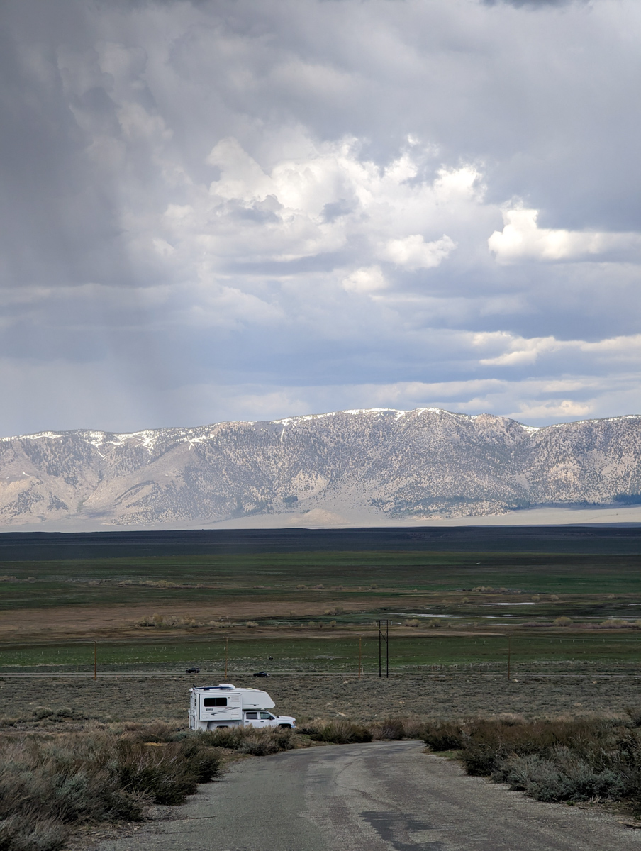
I started hiking from the McGee Creek Campground at about 8 am.
McGee Creek looks like the Old West.
Barbed wire, sagebrush, lizards, mule deer, desert, cactus, creeks, aspen groves, pine trees, juniper trees, bear tracks, boulders for cover, 13,000-foot peaks with perennial snow, chipmunks, horse manure, and old broken down stables.
I walked past all of the above today and gawked.
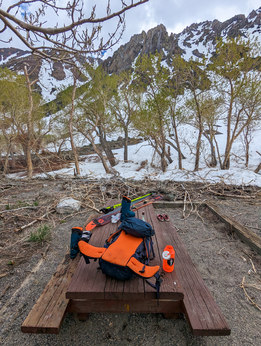
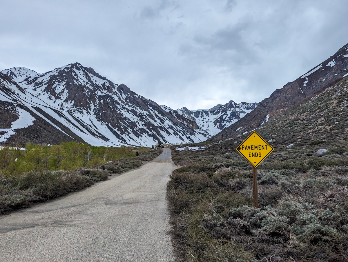
1.4 miles of dry road walking in bright shoes brought me to a picnic table with an old “E & J” whiskey bottle as a centerpiece.
Six pairs of shoes rested on the bench.
I stashed my sneakers with theirs, stuffed feet into ski boots, and started skinning up.
I was instantly tired.
I hadn’t recovered from “Wineglass Couloir” two days prior.
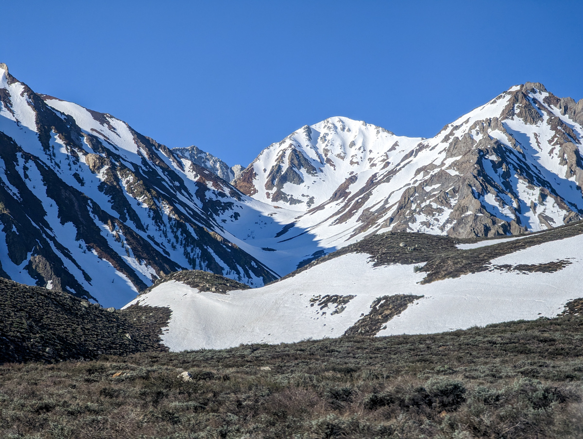
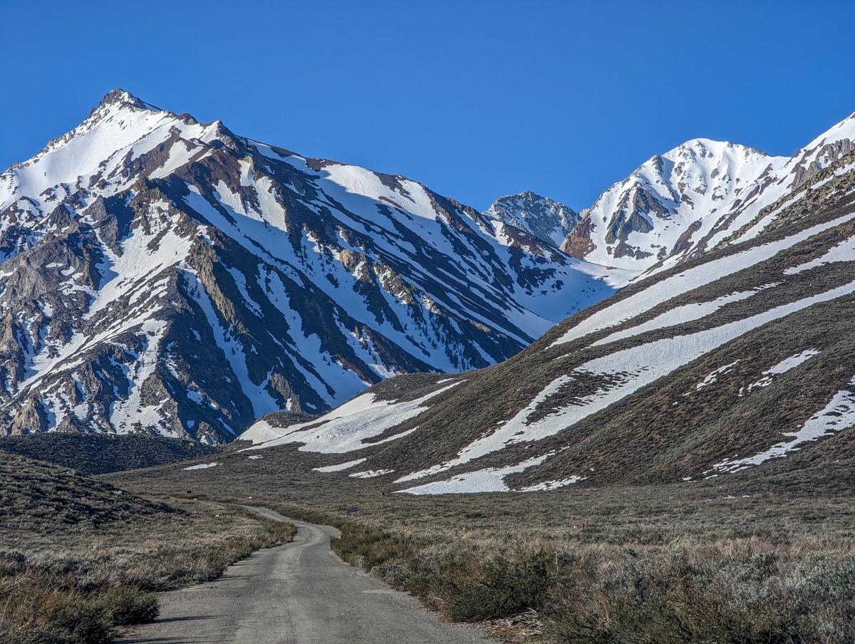
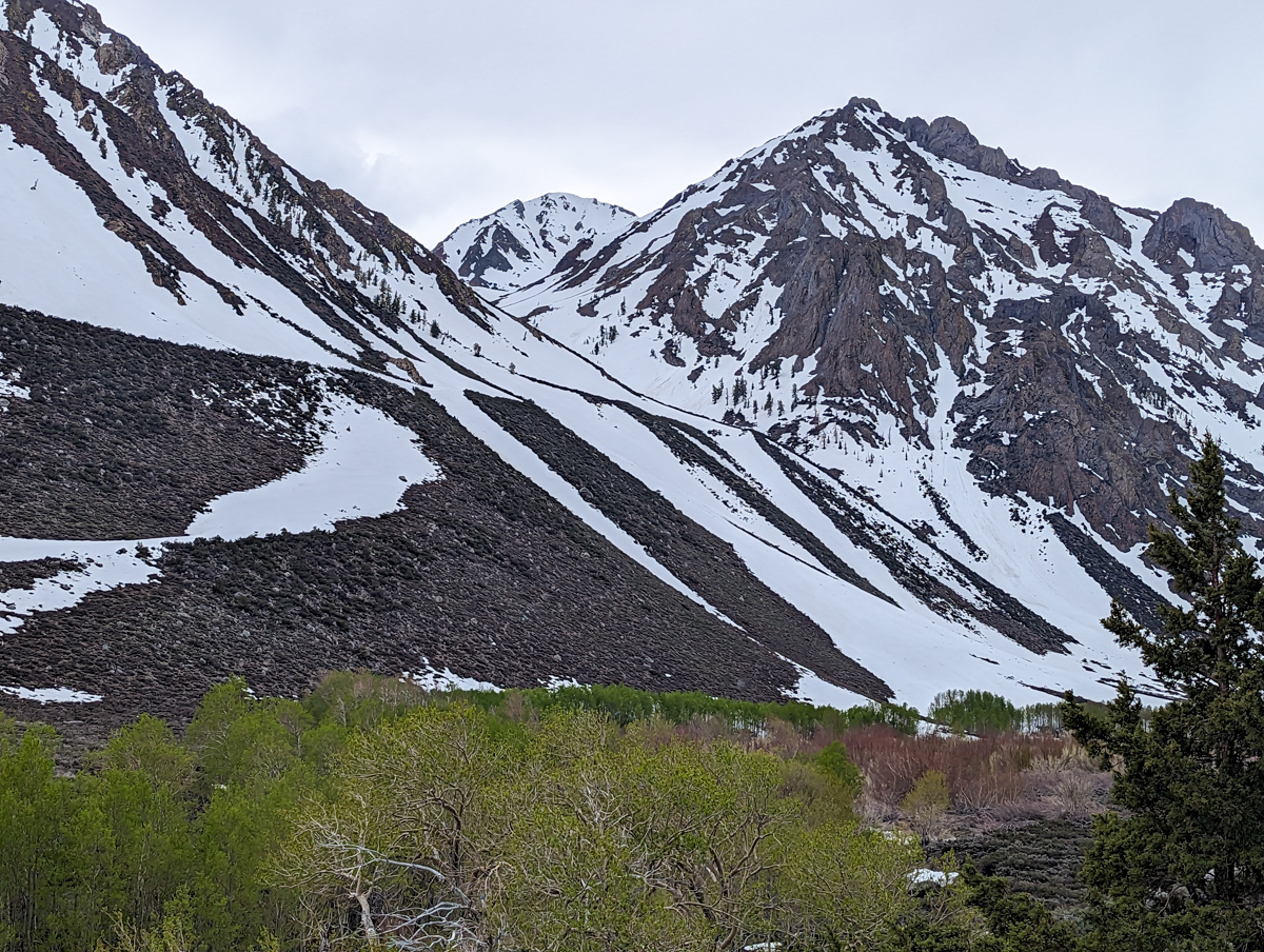
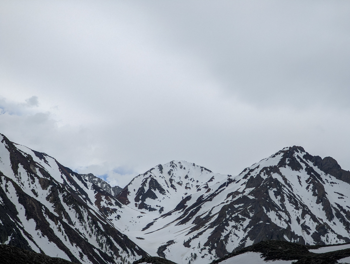
I followed the flowing gully up toward Esha’s face.
It was here that I remembered why I’d said I’d never ski it again.
It’s a slog…
A long slog.
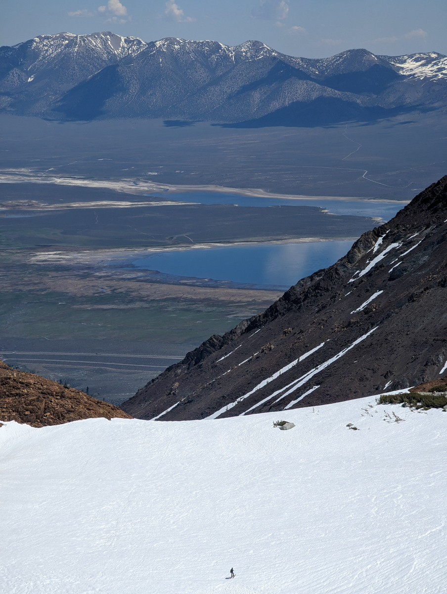
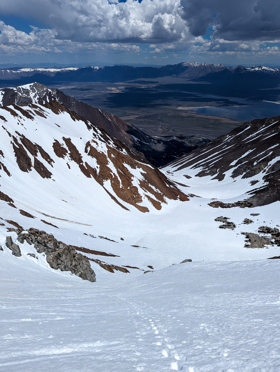
After about four miles, I was finally at the bottom of Esha’s face.
I was bushed…
Thank goodness there was a sturdy bootpack strung straight up the face.
I ground up.
I was worked.
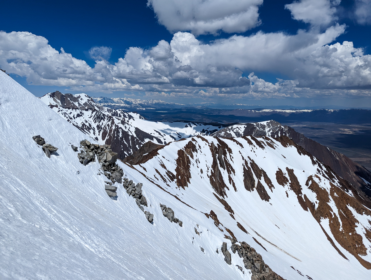
4 hours and 25 minutes after leaving the car, I was on top.
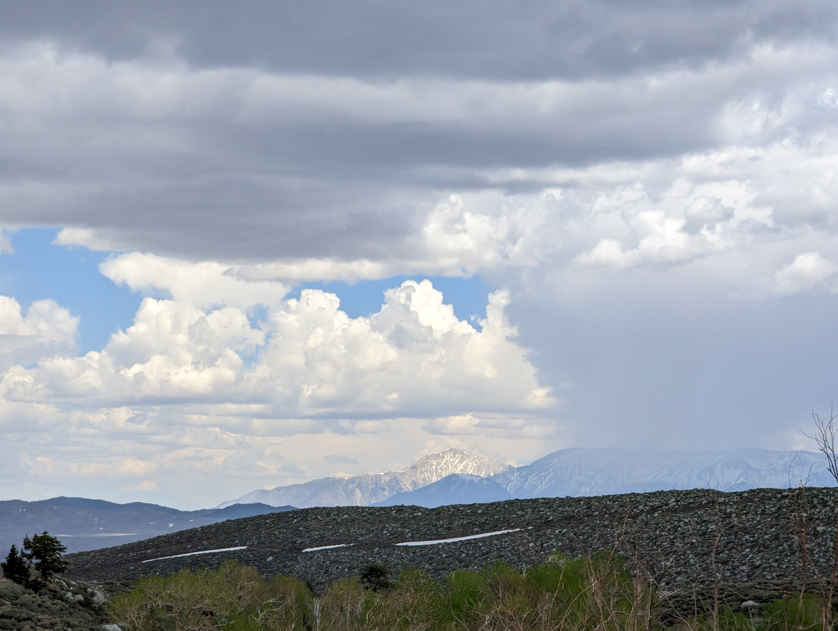
For the first time, I looked around and noticed the forecast thunderclouds.
They were growing fast and closing in on the sun.
I cut the summit rest break short and scrambled into my gear.
I was gunning for the “2nd chute” of Esha due to its more westerly aspect that I was hoping had kept the snow a bit cooler.
I thought I could ski over there…
The traverse to “2nd chute” ended up being an awkward down-climb through broken granite and rotten, hip-deep snow.
It was the crux of the climb for me.
The clouds were closing in.
I finally got into position with all my gear on as the shade rolled in.
The thunderclouds were beginning to threaten the zone I was in.
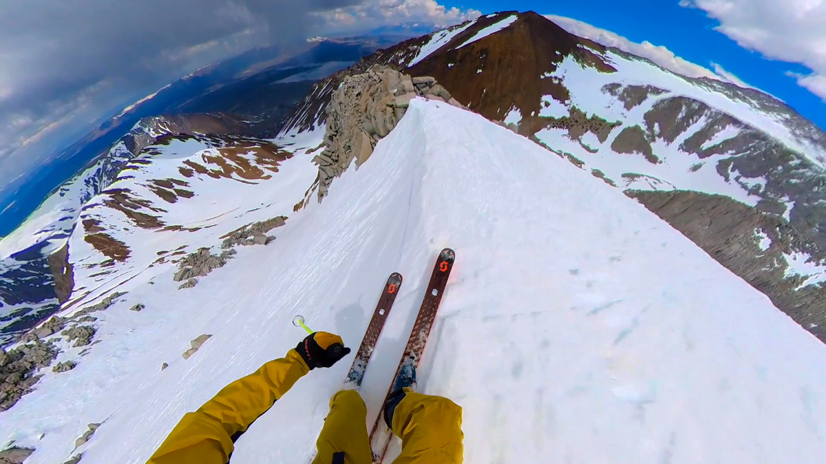
A lucky hole in the clouds passed the sun, and I dropped into spotty sunshine.
It was now about 12:45 pm, and the corn snow in this chute still had some crunch.
Constant crunch, though, that led to some confidence and damn fun skiing.
Once out of the chute proper it turned softer, thicker, and stickier.
The skiing on the apron was pretty cooked.
Below the apron, the soft roller coaster gully skied weird on the steeps and pretty cruisy on the flatter spots.
The final, narrow piece of the gully skied great due to old avalanche debris that held up against the mid-day sun.
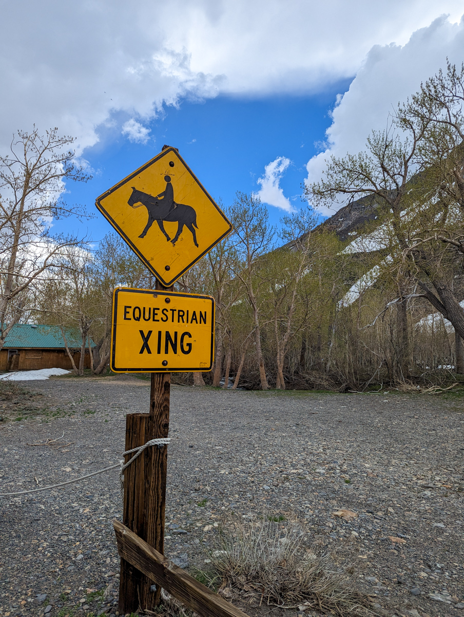
I drifted right back into the “E & J” picnic table.
Shoes, shorts, ball cap, and sunnies.
I walked down the road towards home with a song on my lips.
Tough day.
Long slog.
Great chute.
Thanks, California!
SPRING 2023 REPORTS
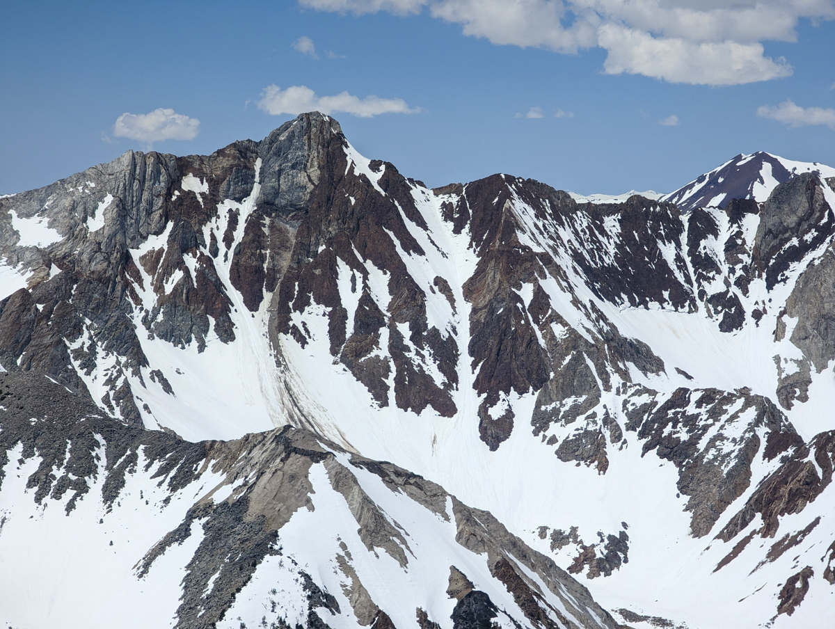
- 5/18/23:Trip Report: McGee Creek Peak, CA – 2,800-Vertical-Foot “Wineglass Couloir”
- 5/16/23:Trip Report: 10,908′ Carson Peak, CA – 45º Steep “Pete’s Dream”
- 5/5/15/23: Trip Report: 11,812′ Mt. Laurel, CA – 3,500-Vertical-Foot “Pinner Couloir”
- 5/10/23: Trip Report: 13,005′ Mt. Morgan, CA – Nevahbe Ridge Gullies
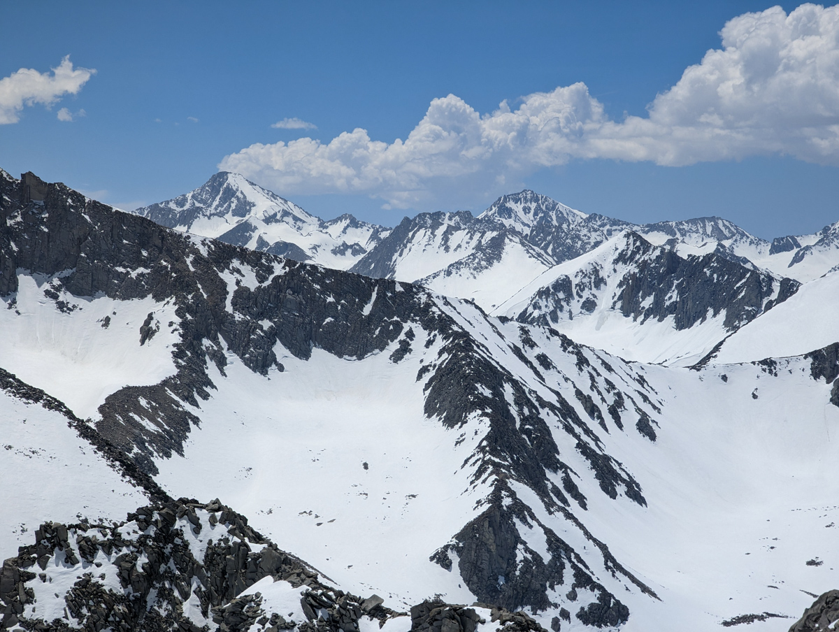
PHOTOS IN CHRONOLOGICAL ORDER
One thought on “Trip Report: 12,200′ Mt. Esha, CA – “2nd Chute””