Article courtesy of snowbrains.com.
The Four Pass Loop is said to be one of the most stunning hiking trails in North America. At 28 miles long and with close to 10,000 total vertical gain, the trail itself is no easy feat. Only ultra athletes have the athleticism to run the loop in a day. The loop is very doable in just two days, but we opted to take three, to really soak up all the incredible scenery that the trail has to offer.
I had Friday off of school, and so we started our trip on Friday morning. We had a friend sneak us through the Forest Service gate on Maroon Lake road before the rangers arrived at 7 am (when no more private vehicles are allowed through). We started hiking at about 7:30 am. The trail starts out very mellow; for the first half a mile or so it’s just a walking path for tourists to see the stunning Maroon Lake.
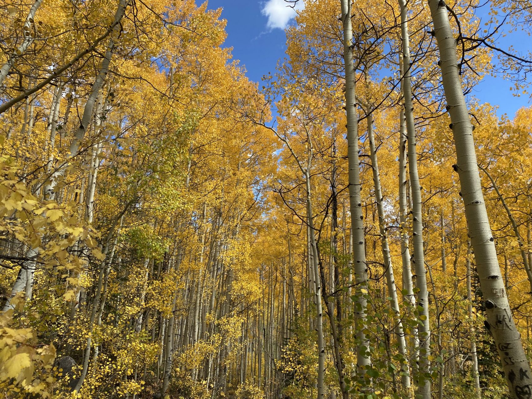
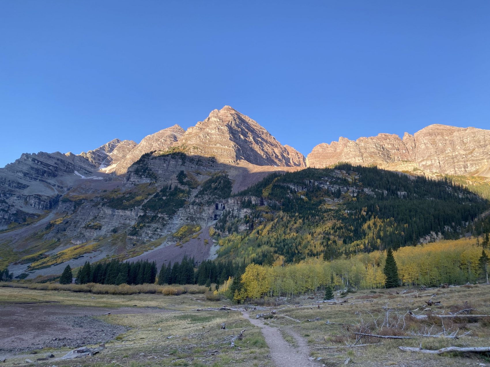
After the walking path ends, the route becomes an actual trail that begins ascending through the turning aspens. Through the trees we watched the alpenglow of a Colorado sunrise hit the east faces of the Maroon Bells, which are the most photographed mountains in the world.

The trail gradually climbed out of the Maroon valley until the trail forked. To the left heads up to West Maroon Pass, which is the clockwise direction of the loop and the most popular route from Aspen to Crested Butte. The right goes to Buckskin Pass, the counterclockwise direction, and leads to Snowmass Lake. We chose to do the clockwise direction since it is said to have better views.
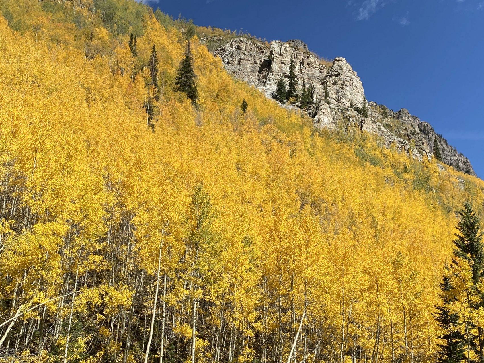
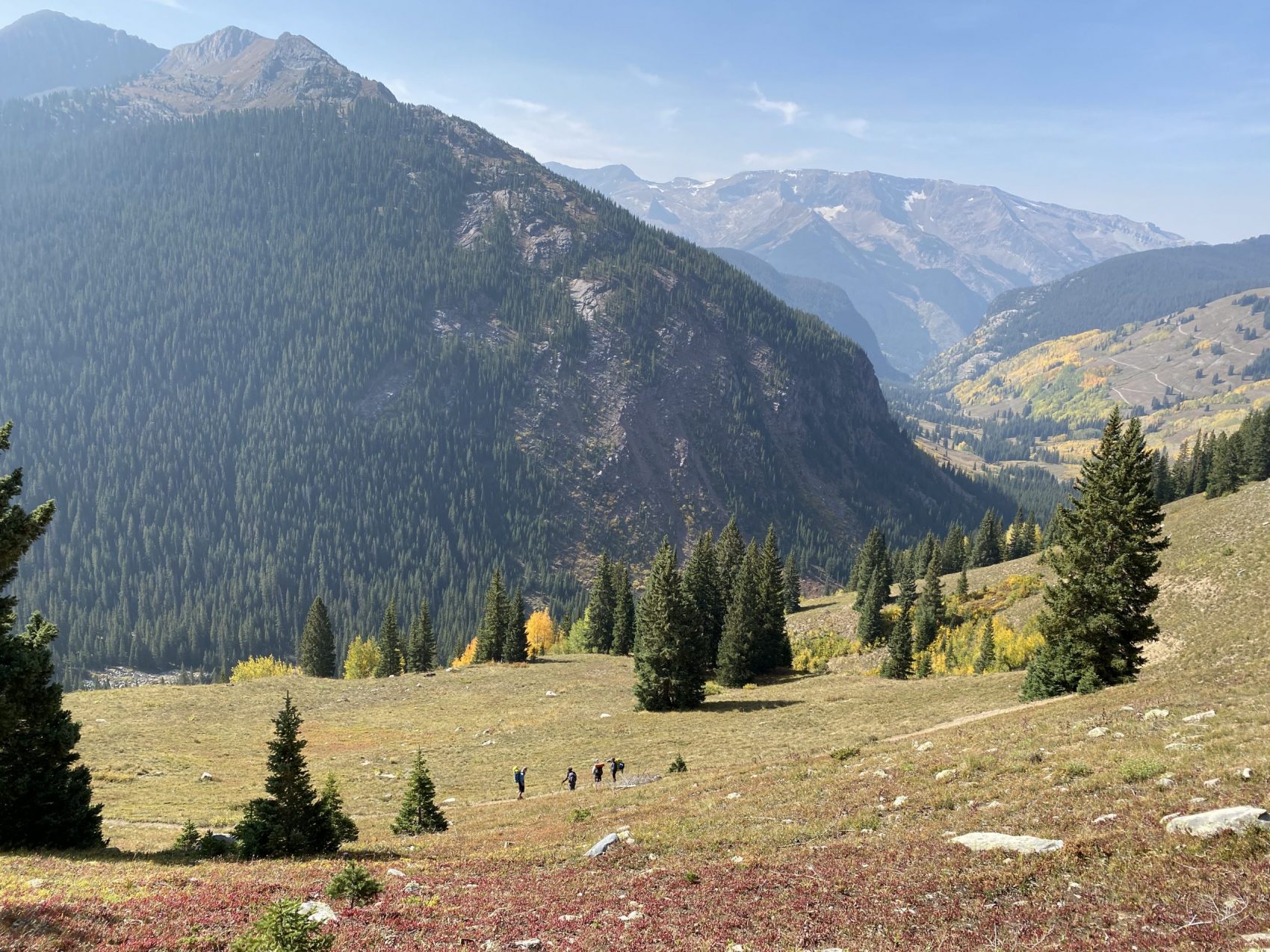
The trail continued up West Maroon Creek, past Crater Lake. The trail wound through rocky debris fields, towering aspens, and shrubby terrain. The views back down the valley towards Maroon Lake were stunning.
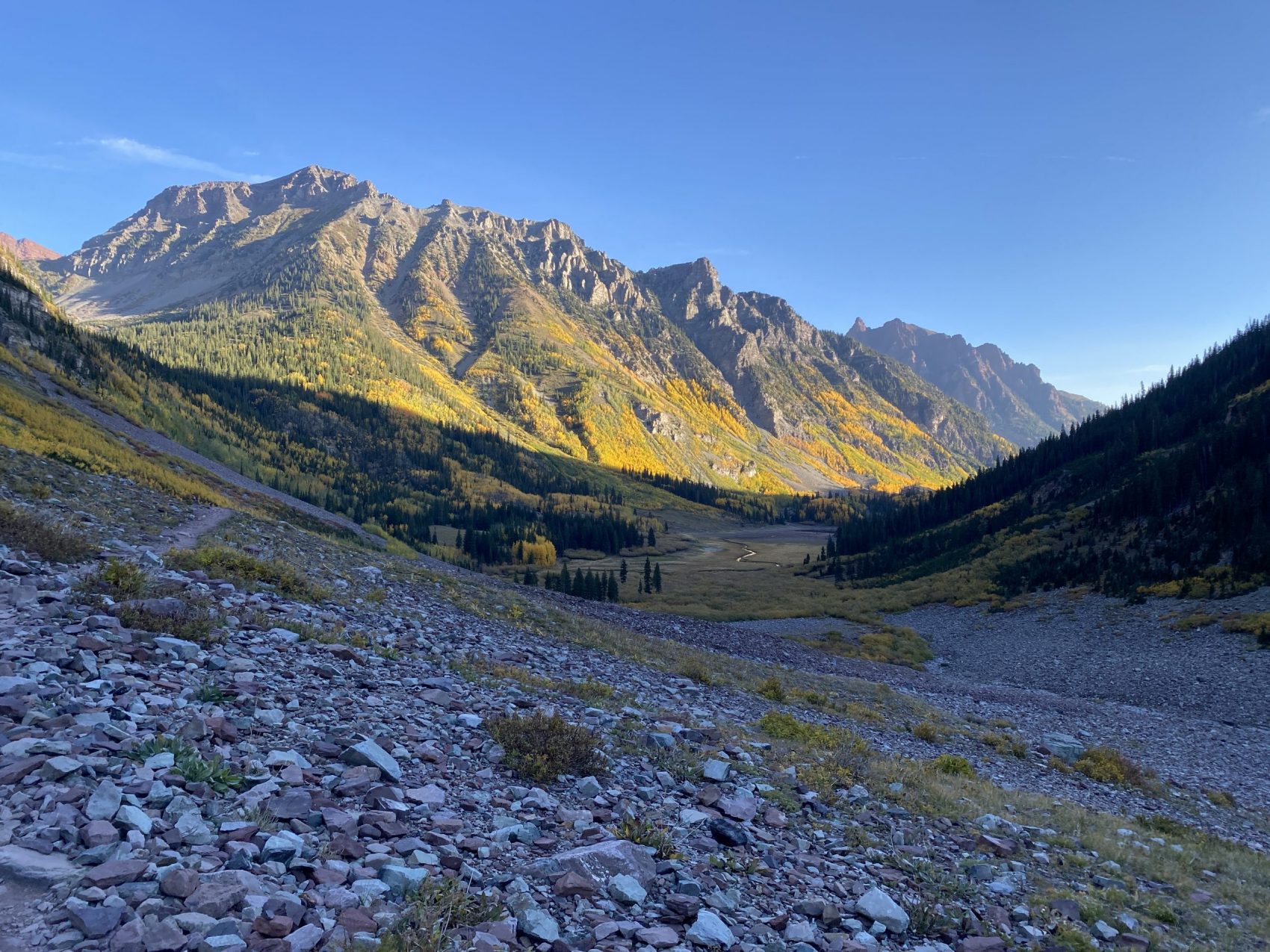
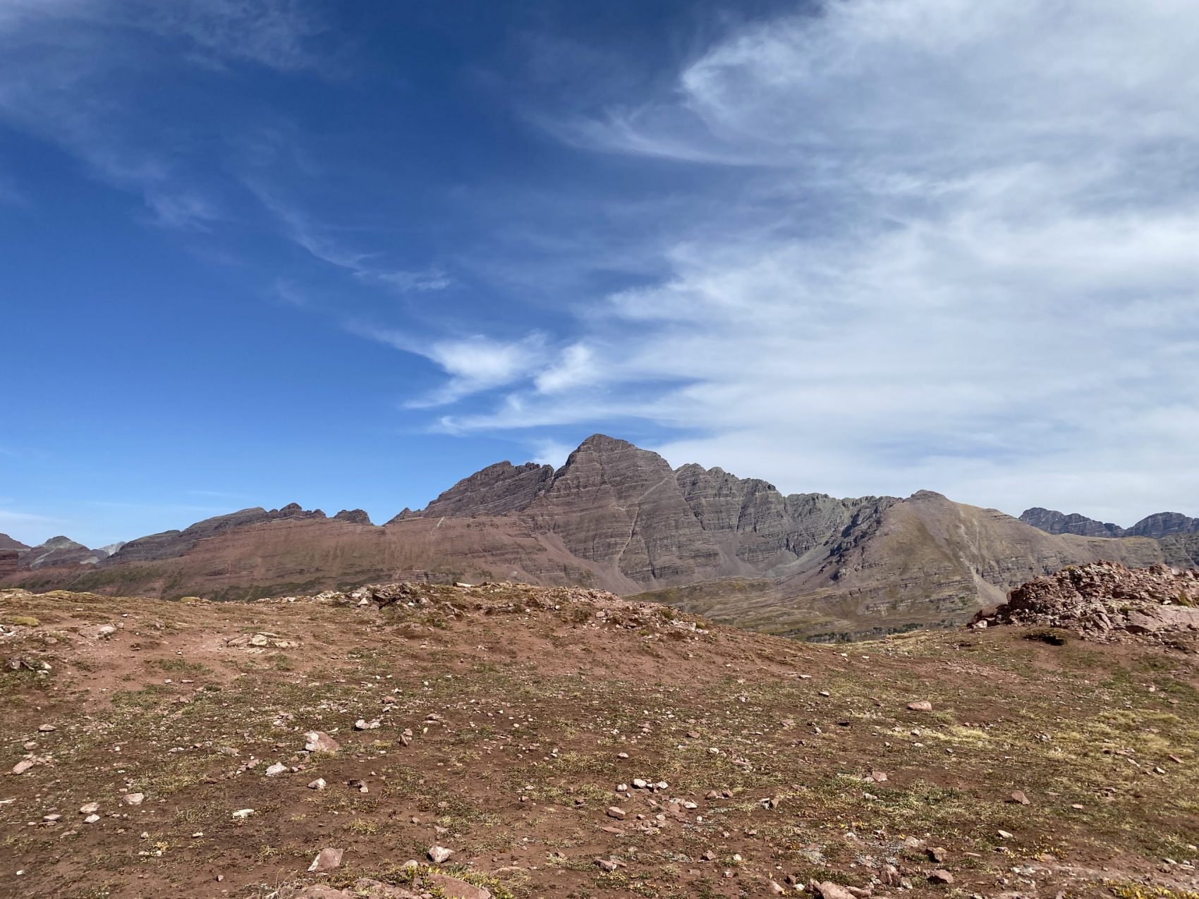
The trail exited the forest and opened up into an upper drainage. Our first pass, West Maroon, laid in a saddle near the top of the huge bowl. The sheer size of the terrain made us feel very small.
We made our way up to West Maroon Pass and after 6.5 miles and 3,400 feet of elevation gain, we crested over the Pass. Unsurprisingly, it was packed. Not only did it have traffic from backpackers heading in both directions, but also day hikers from not only Maroon Lake but also Crested Butte. We dawned our masks and soaked up the view. To the south, the view opened up towards Crested Butte and the huge mountains that surround it. To the north (where we came from) the Maroon Bells stand defiantly above the stunning drainage that is West Maroon Creek.
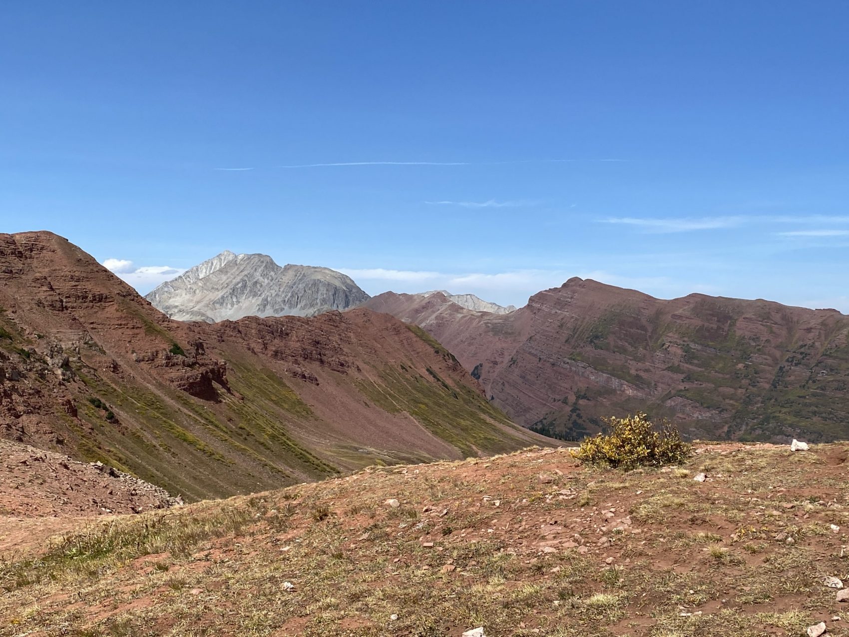
The trail dropped off West Maroon Pass to the south down into the drainage. The trail soon split off of the trail to Crested Butte and began traversing to the west along the southern flanks of Belleview Mountain. After 2.5 miles of mellow incline after descending from the pass, the trail became incredibly steep and climbed up to Frigid Air Pass. From Frigid Air Pass, we had great views of the south face of the Bells, Snowmass Mountain (14,098′), and down into Fravert Basin.
The trail then descended down into Fravert Basin, home to the North Fork of the Crystal River. By the time we had descended down into the drainage, we were just about out of water. The creek was a few hundred feet to our north, but we remained separated from it by heavy shrubs. We agreed that at the next source of running water, we would set up camp for the night. Sure enough, just a few minutes later, we came across a small creek and found a flat spot to set up camp about 250 feet away. We got settled, cooked some pizzas for dinner, and went to bed as soon as the sun went down. Day 1 came out to be 11.25 miles with around 4,500 vertical gain. Not bad with 30-pound packs!
We woke up the next day with the sun, bright and early right around 7 am. We cooked some oatmeal and packed up camp and then hit the trail.
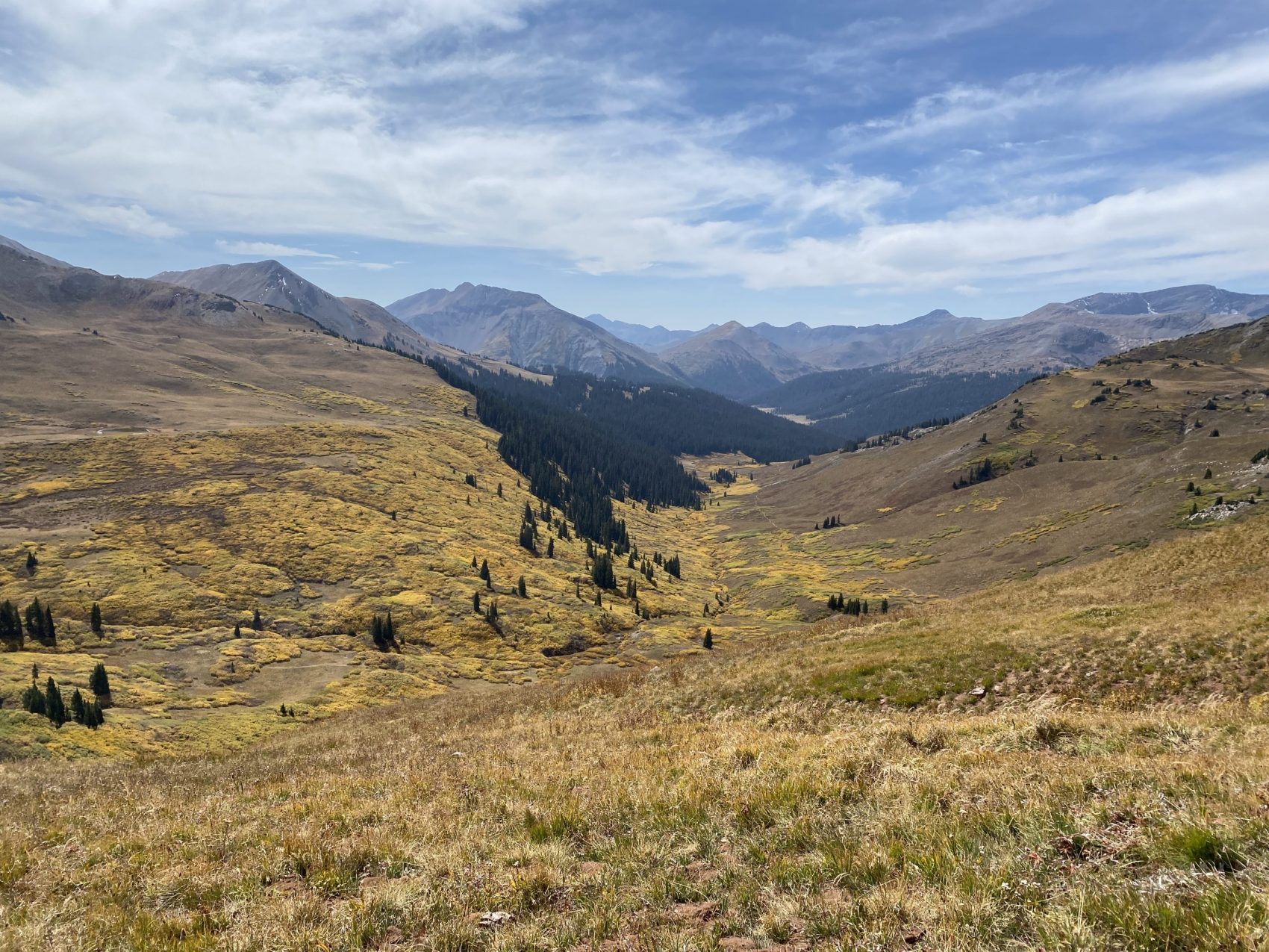
The trail meandered along the bottom of Fravert Basin for a while before beginning the climb up to our third pass, Trail Rider Pass. As we worked our way up towards the pass, we could look to the south and see Treasure Mountain and Mt. Daly (no, not this Mt. Daly!) towering over Marble. It looked a little bit smoky, probably more smoke from the Pacific Coast blowing in.

We ascended about 1,600 feet up from Fravert Basin to a bench, which had an alpine lake where we filled up on water. From the bench, the trail up to Trail Rider Pass was visible.
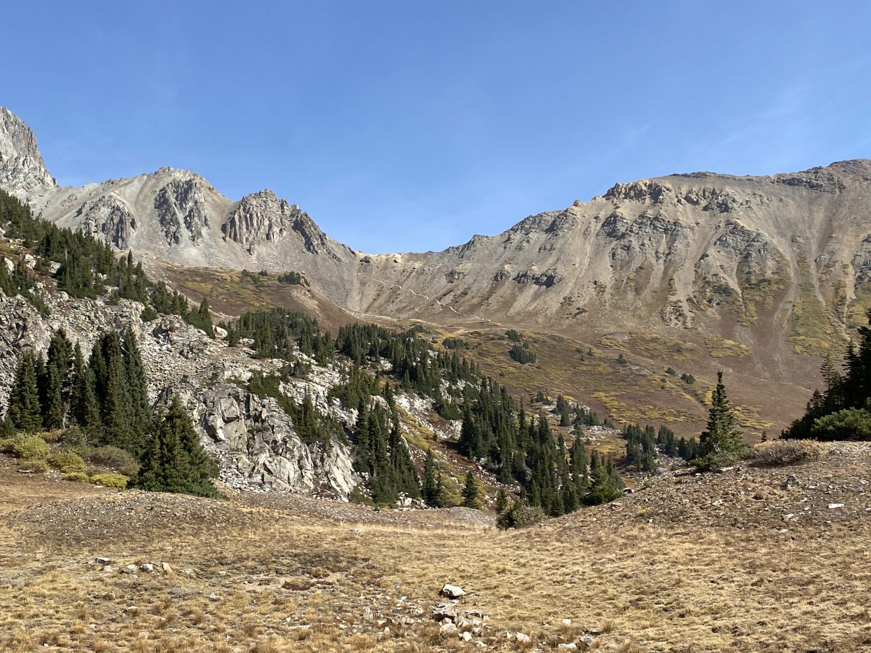
A mile or so and about 800 vertical feet later, we arrived at Trail Rider Pass. The pass had great views to the north of Snowmass Lake and the Snowmass Creek Drainage, and to the south toward the Southern Elks.
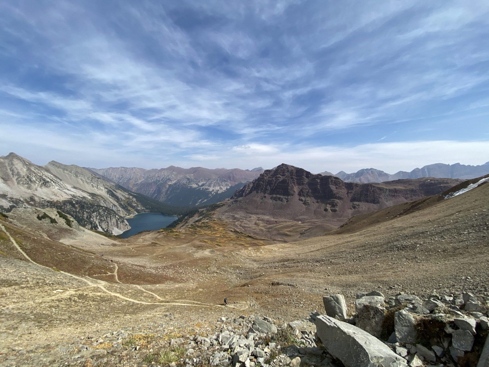
The pass was super windy, so we didn’t spend much time up top, but we grabbed a little bit of food and water and hastily began our descent. After two miles and 1,800 feet of grueling downhill (R.I.P knees!), we arrived at Snowmass Lake.

We were originally going to spend a night at Snowmass Lake, but the aquamarine glow of Snowmass Lake seemed to have brought every backpacker in the state vying for campsites. We opted to hike another mile to a creek east of the lake, where we set up camp. We soaked our feet in a waterfall, cooked some pasta with sauce, and went to bed when the sunset. Day 2 was 8.25 miles with 2,700 elevation gain.

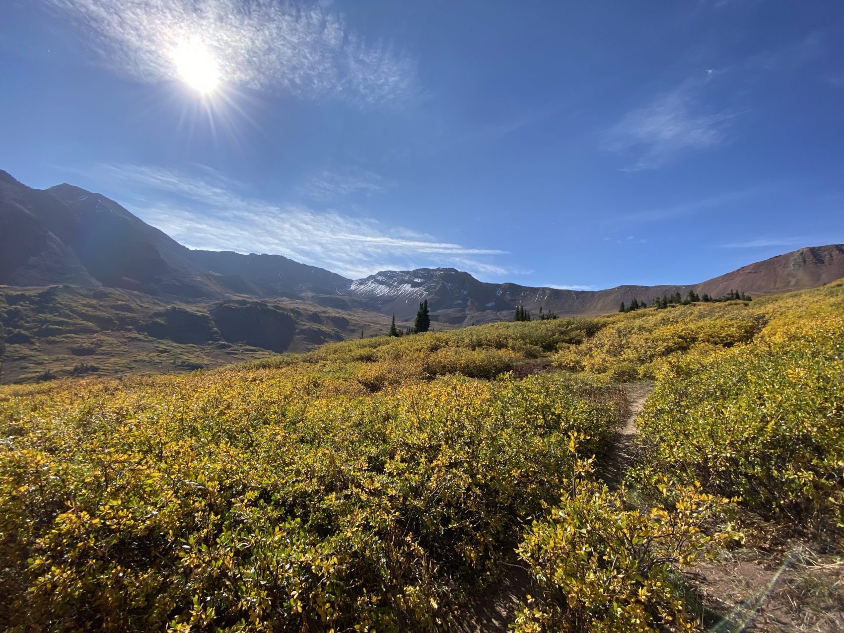
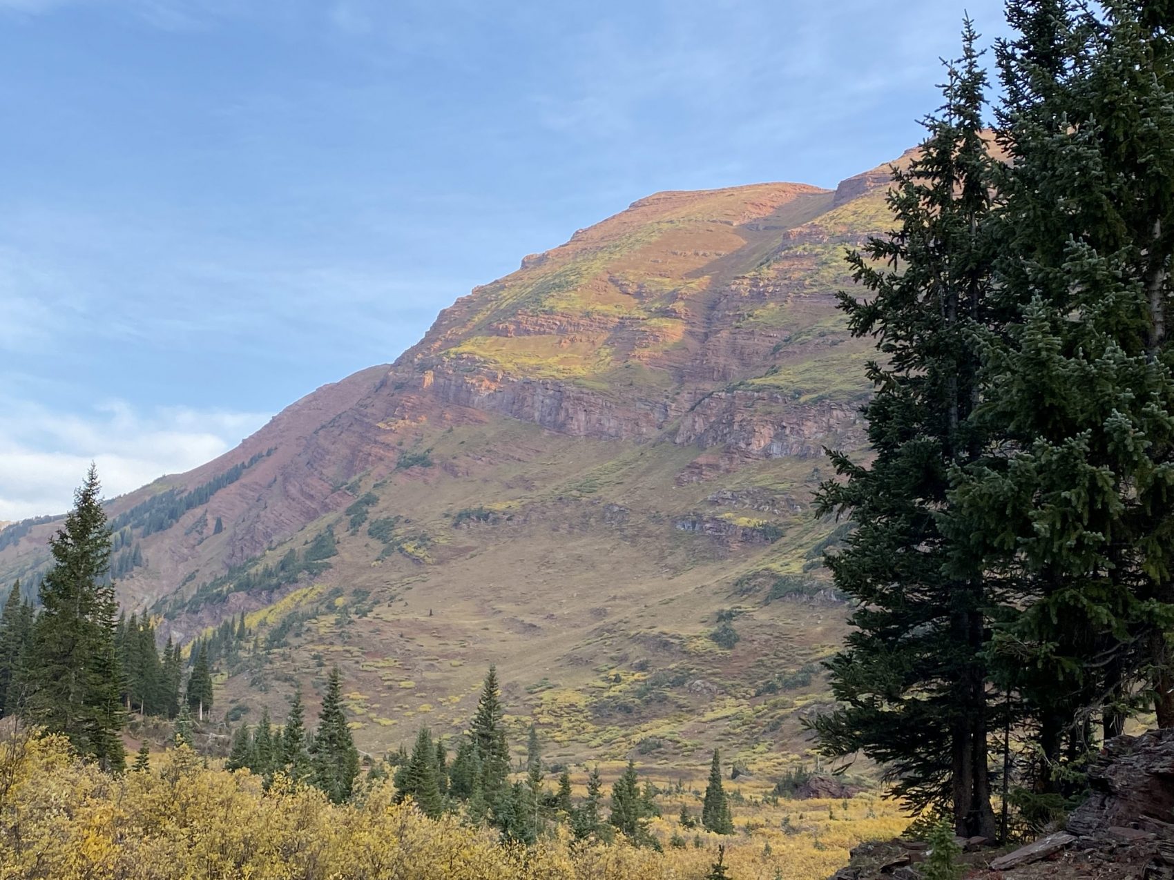
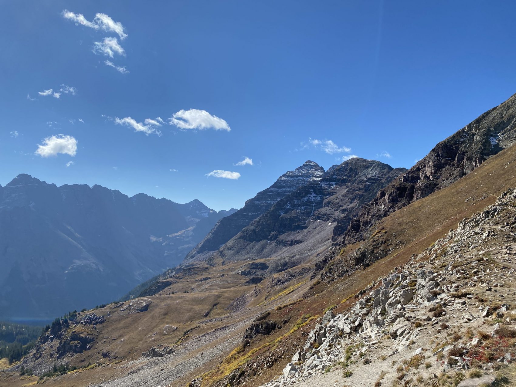
We woke up the next day energized for our final push up the last pass. We woke up with the sun and got a cold breakfast (a couple of energy bars and some raisins) and began along the trail. The trail started mellow but quickly steepened once we arrived at the final push to Buckskin Pass.


It took an hour and a half of steep hiking (1,800 vertical feet in 2.3 miles), but the views from Buckskin Pass were INCREDIBLE. To the east lay the Maroon Bells and Pyramid Peak, and to the west were the majestic West Elk Mountains, with Snowmass Mountain (14,098′), Capitol Peak (14,131′), Clark Peak (12,953′), and Mt. Daly (13,300′).


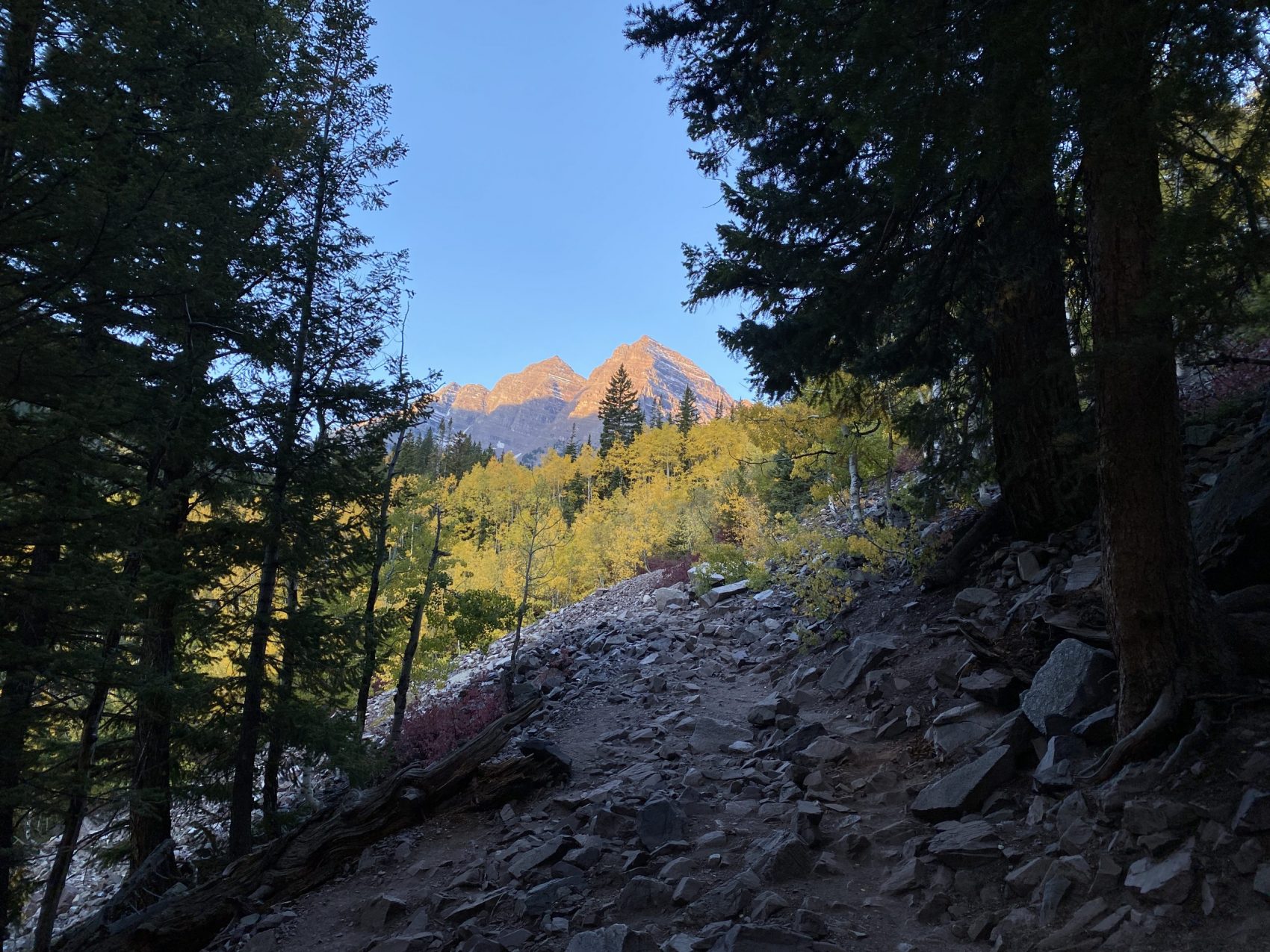
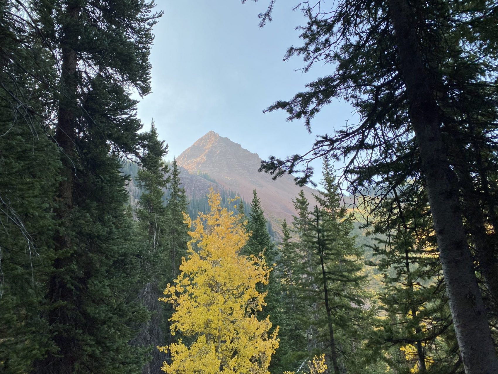
The trail soon re-entered the forest, where the colors were seriously off-the-chart beautiful.