Report from June 2, 2023
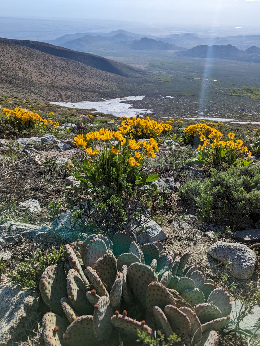
Yesterday, we ventured into the land of the purple snow cactus.
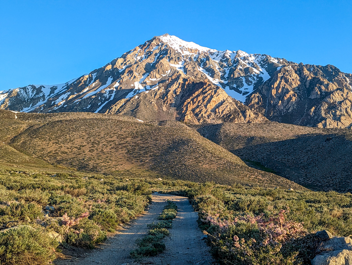
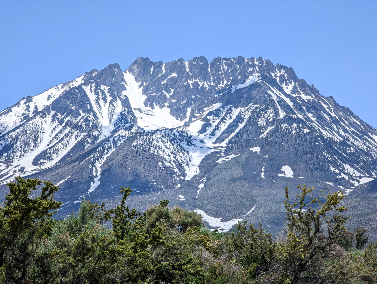
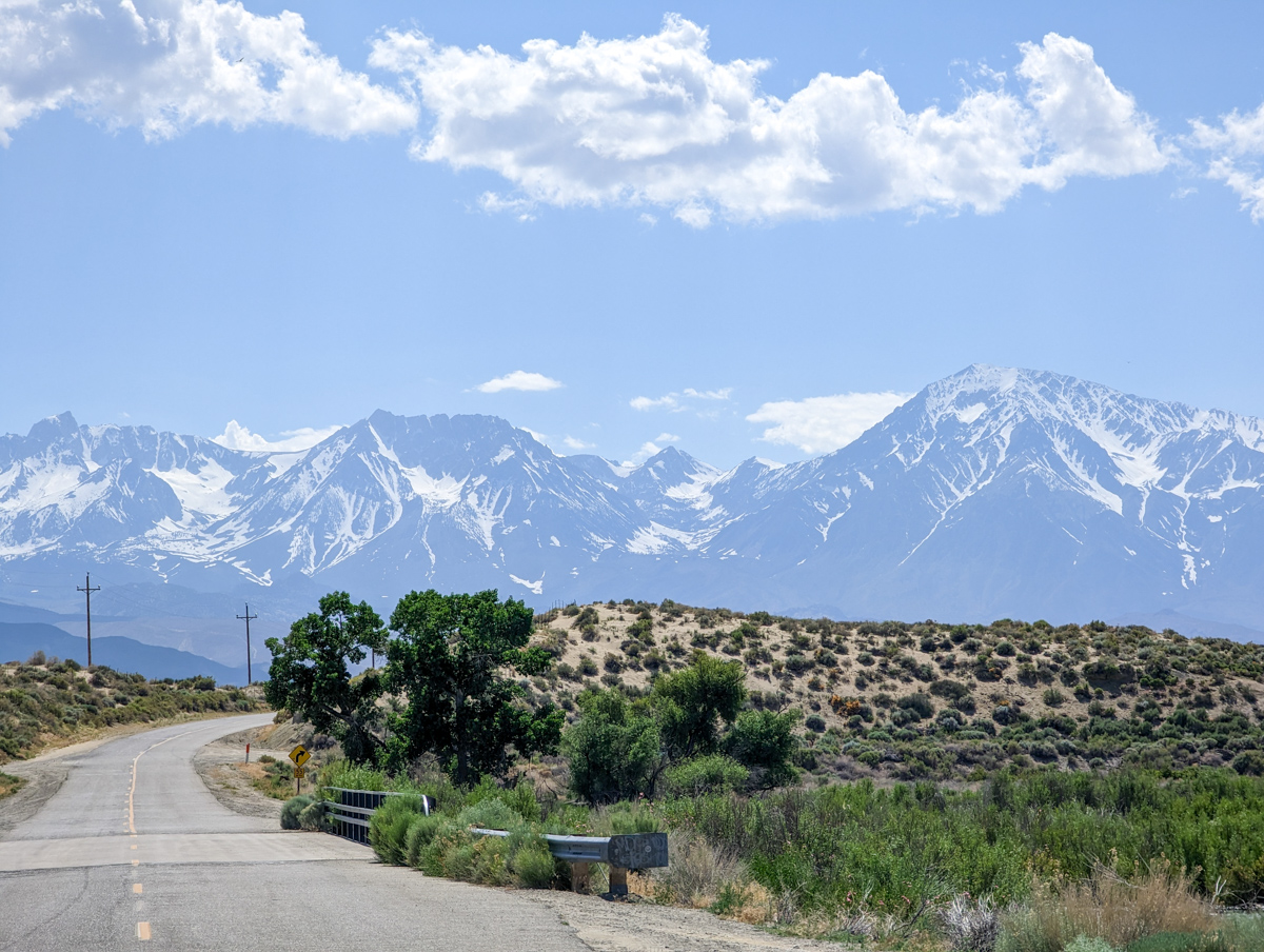
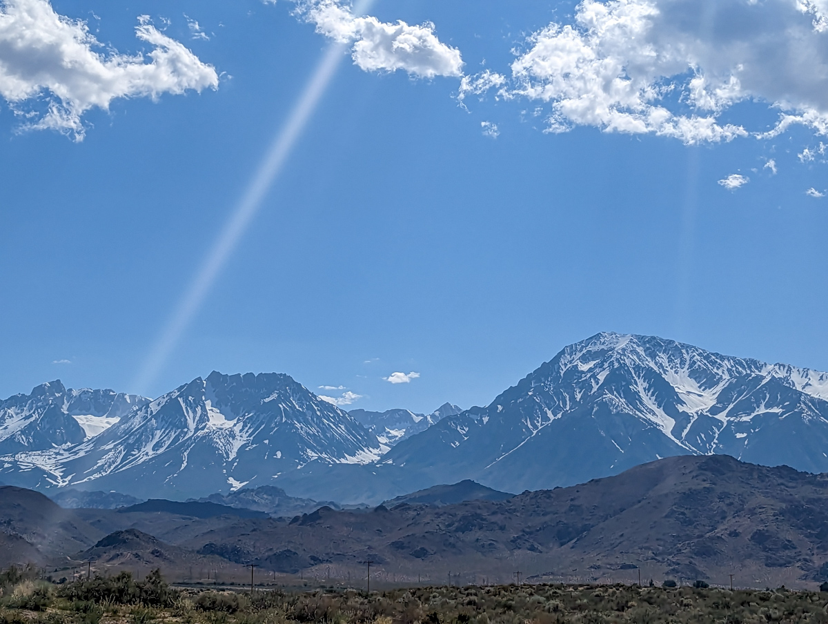
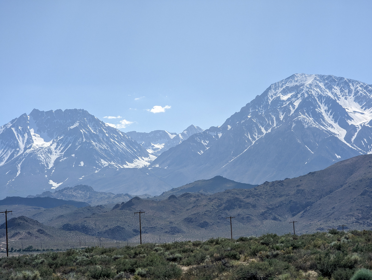
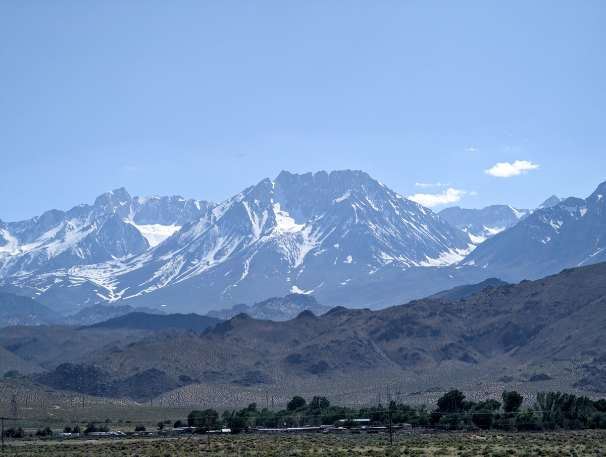
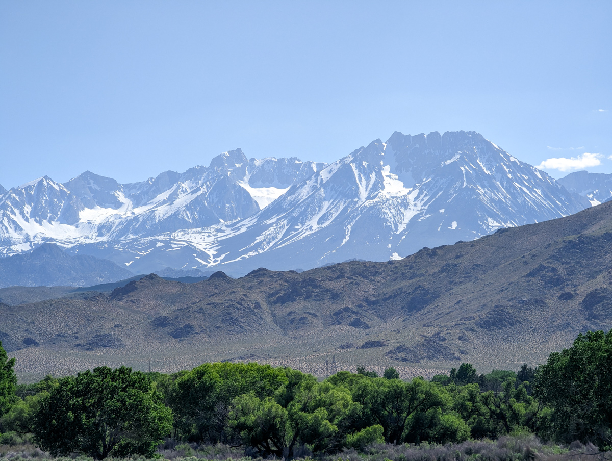
The purple snow cacti hold some of the bigger mountains around here.
- 13,187′ Basin Mountain
- 13,658′ Mt. Tom
- 13,986′ Mt. Humpreys
- 13,210′ Mt. Emerson
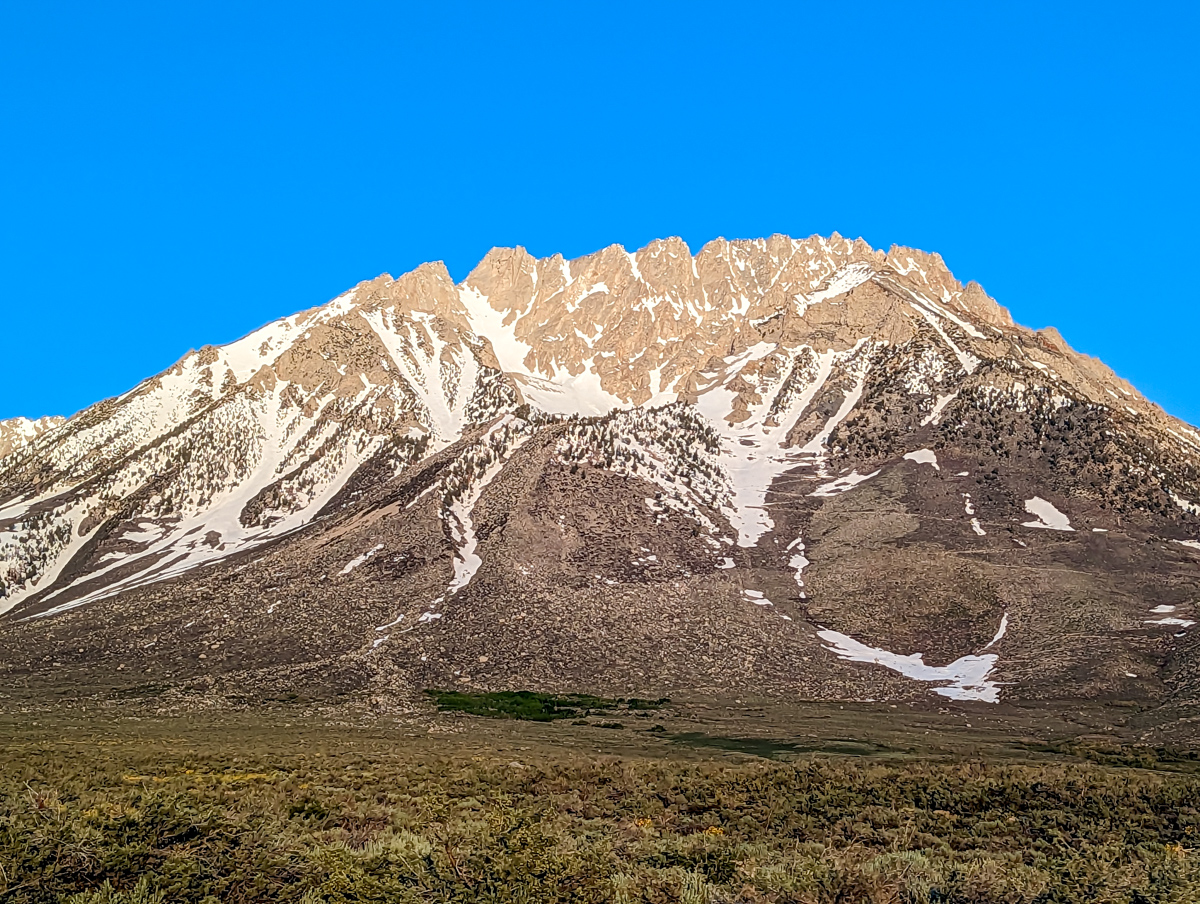
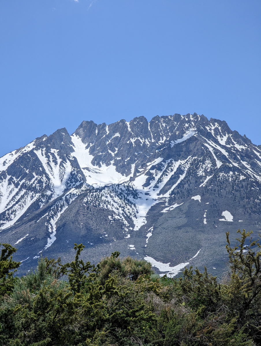
Basin Mountain was our goal.
I’d been wanting to ski this beast for about 20 years.
The time had come…
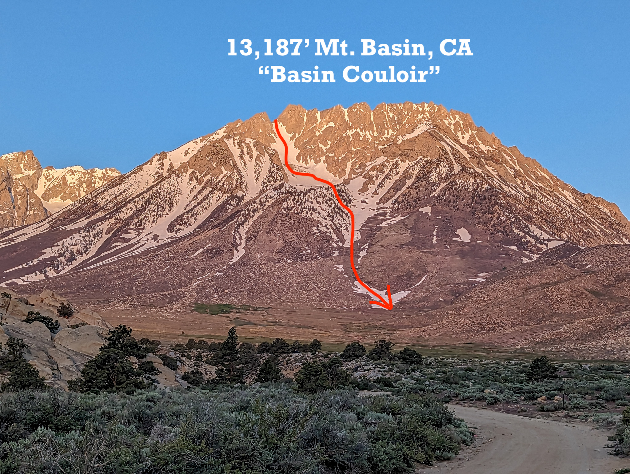
13,187′ Basin Mountain, CA – “Basin Couloir Alternate” Details
- Summit (actually a ridge line): 12,500′
- Car: 8,000′
- Vertical From Car: 4,500′
- Vertical skied: 3,600′
- Max Pitch: 45º
- Avg Pitch: ??
- Aspect: Northeast
- Distance: 6-miles round trip
- Time From Car to Top: 5 hours
- Car to Car Time: 6 hours & 45 mins
- Recommended Equipment: Crampons, Ice Axe, Skins, Ski Crampons
- Note: We 4x4ed very high up on the mountain, as far as you could go – all the way to the Horton Lakes Trailhead. You need a stout 4×4 to pull this off.
SHORT VERSION VIDEO
I’ve been wanting to ski Basin Mountain for 20 years.
It always felt too big, too far, too unknown.
Reports from Buttermilk Road have been horrendous all spring – keeping us away.
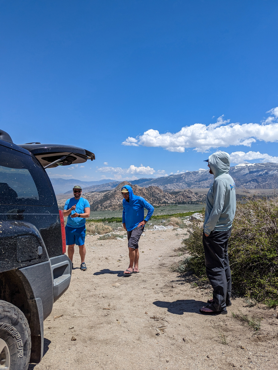
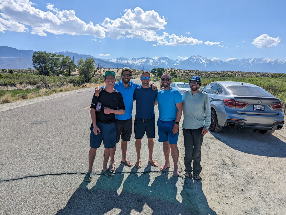
This week, we have a fierce crew in town toting 2 legit 4x4s:
- Jeep Cherokee Sport
- Nissan Xterra
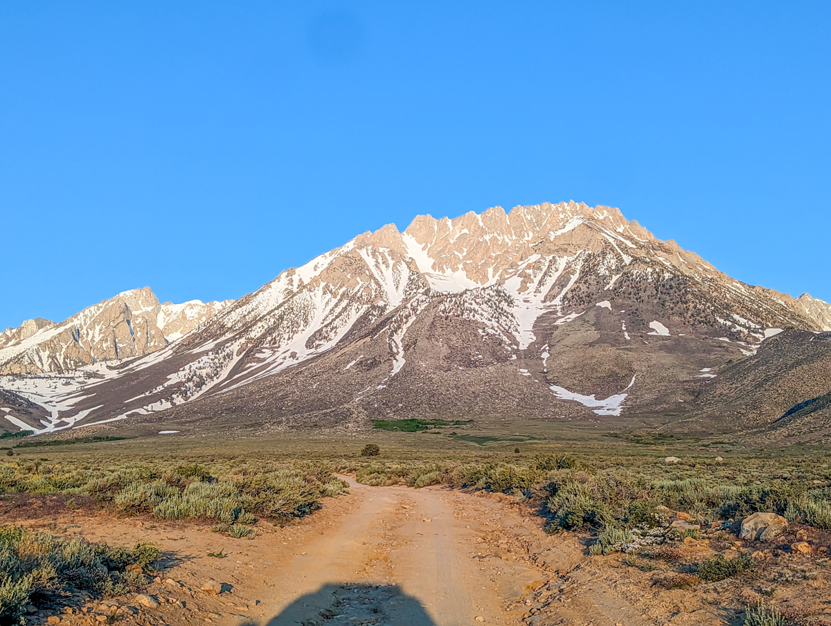
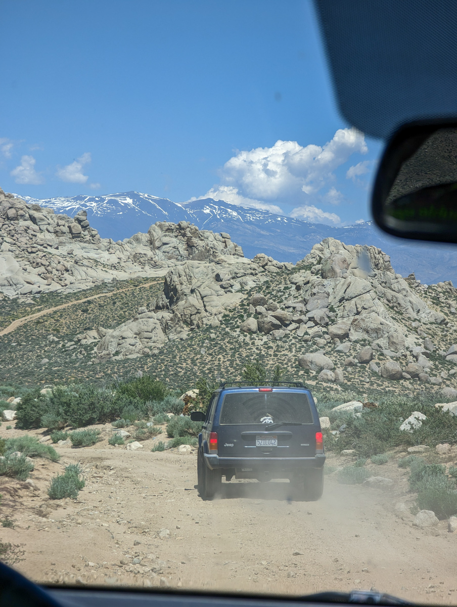
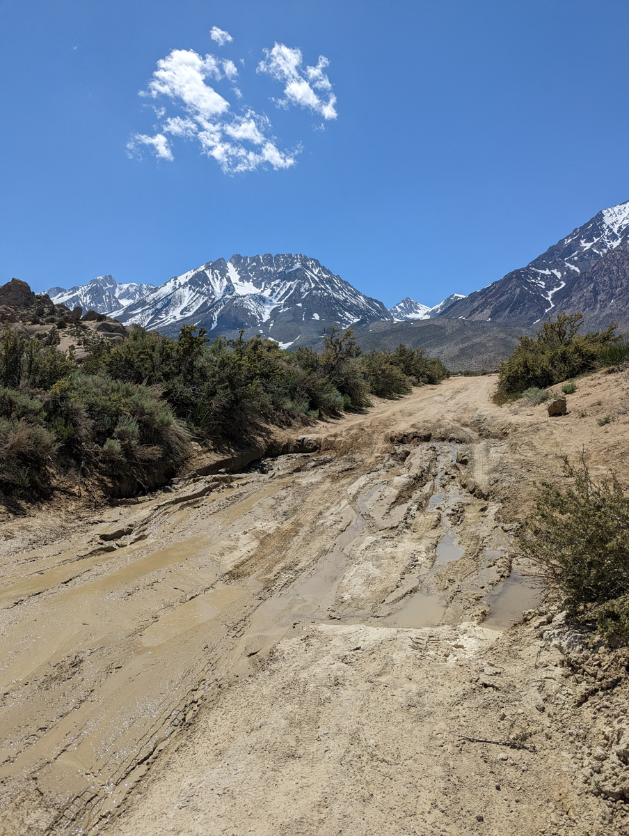
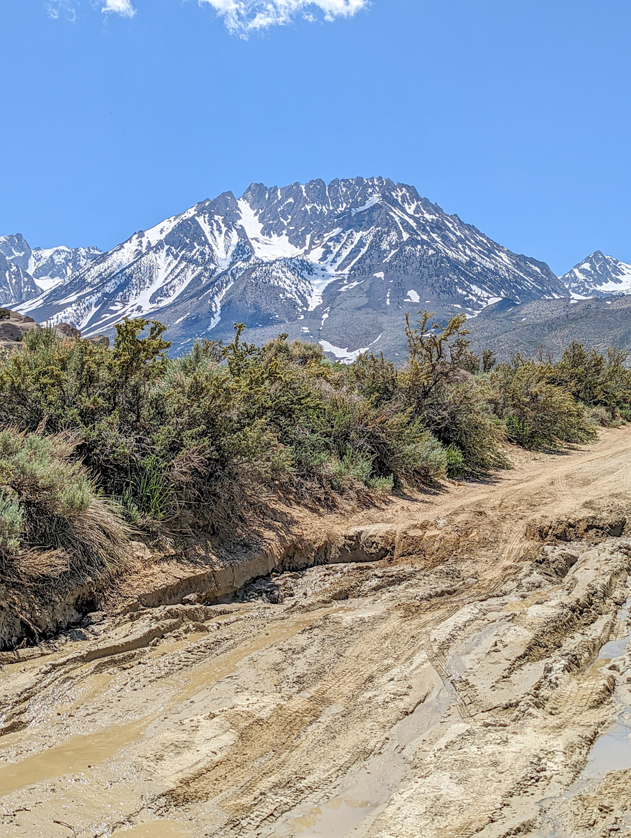
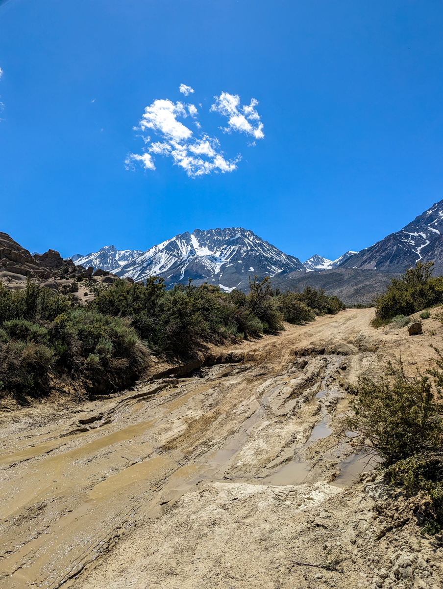
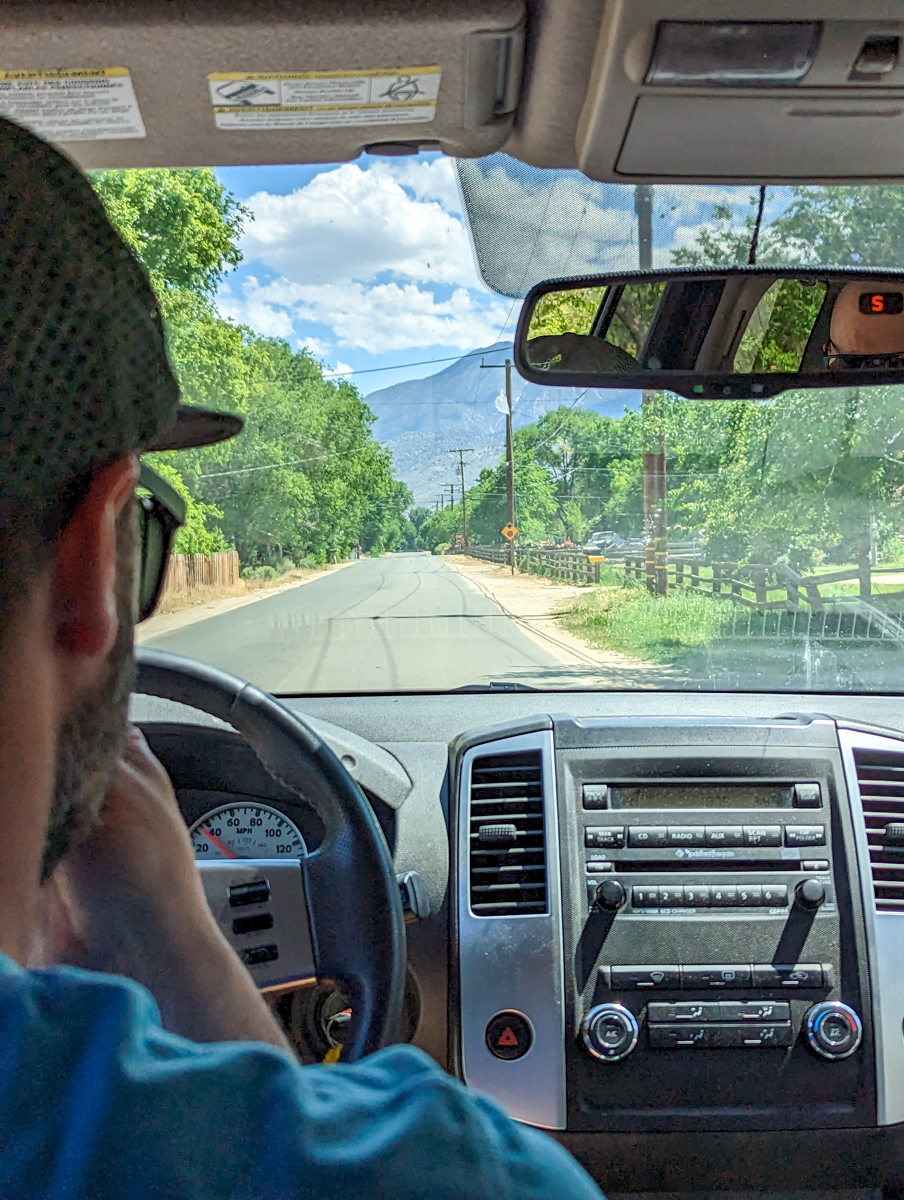
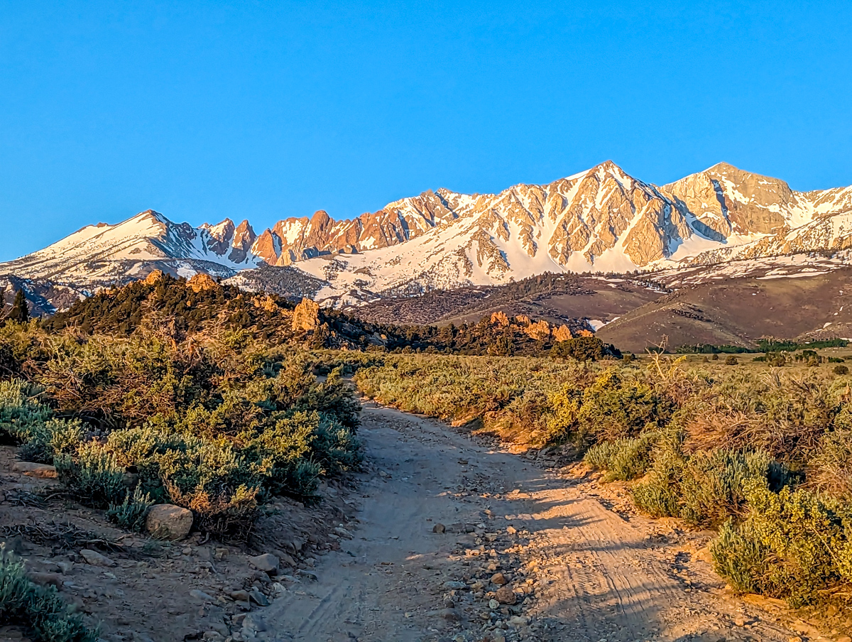
We woke up at 4am yesterday, hit the road by 4:45am, and anxiously turned onto the infamous Buttermilk Road before dawn.
No problem at first.
Then we starting seeing the huge wash outs and it began to become clear why we were told to stay away.
Traffic and some shoveling appeared to have greatly improved the road in recent weeks.

We’d been warned about the large mud-pit about half way into the drive.
Greggy crawled the Xterra right up it, no problem.
Dwanis slammed the Jeep into it and damn near jumped the thing.

We felt relieved.
That was the undeniable crux of the day.
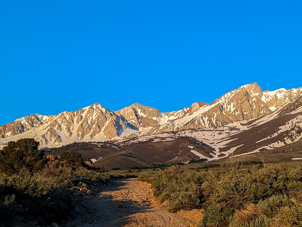
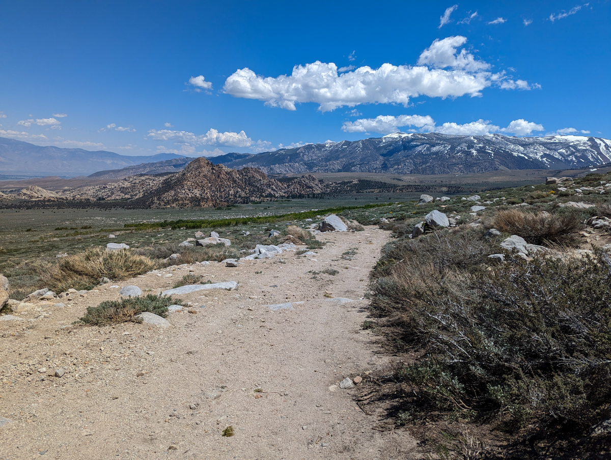
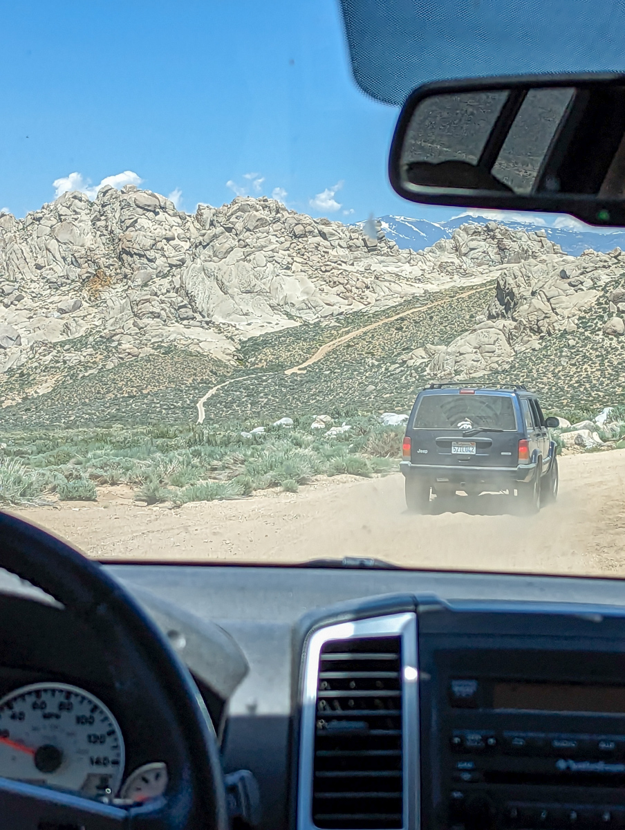
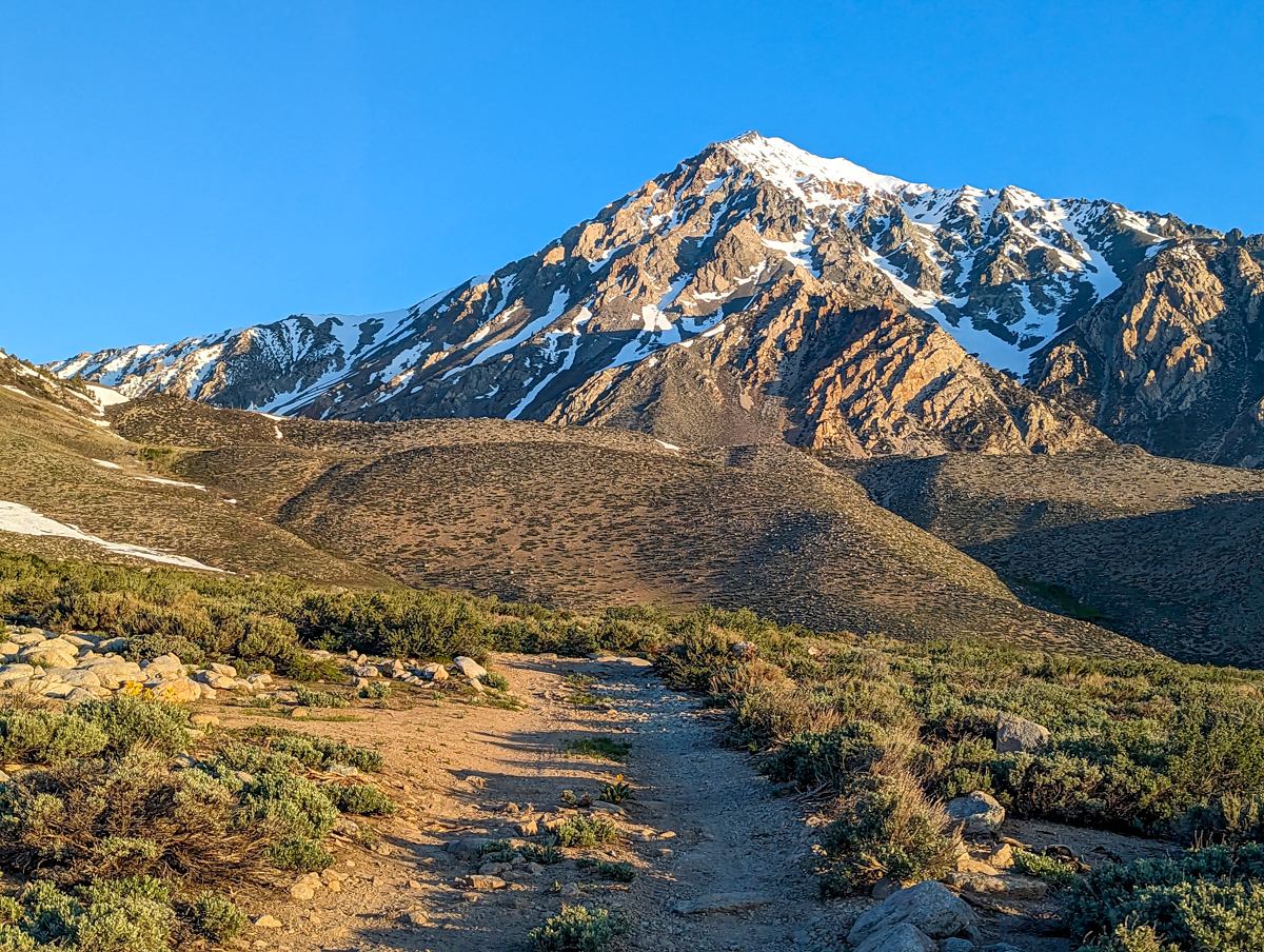
From there it was a bumpy, rock n’ roll ride right until we hit the end of the road: Horton Lakes Trailhead.

We couldn’t believe how far we’d driven up the mountain.
There was snow just in front of our car.
Only a week ago that strip of snow connected to the mountain.
For us, there was an 800-vertical-foot gap in the snow…

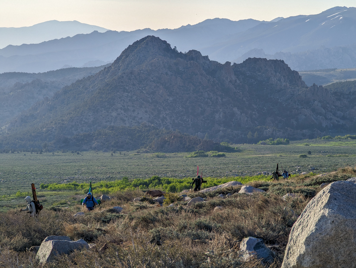
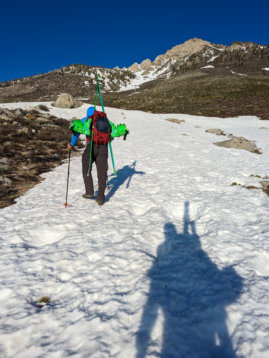
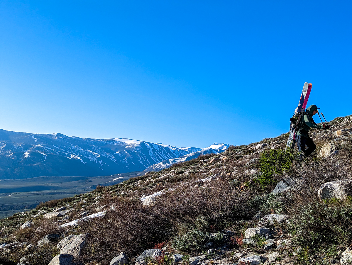
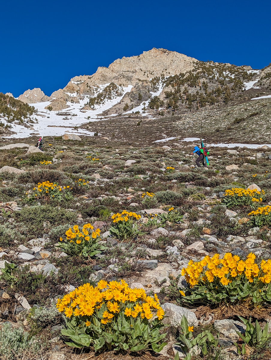
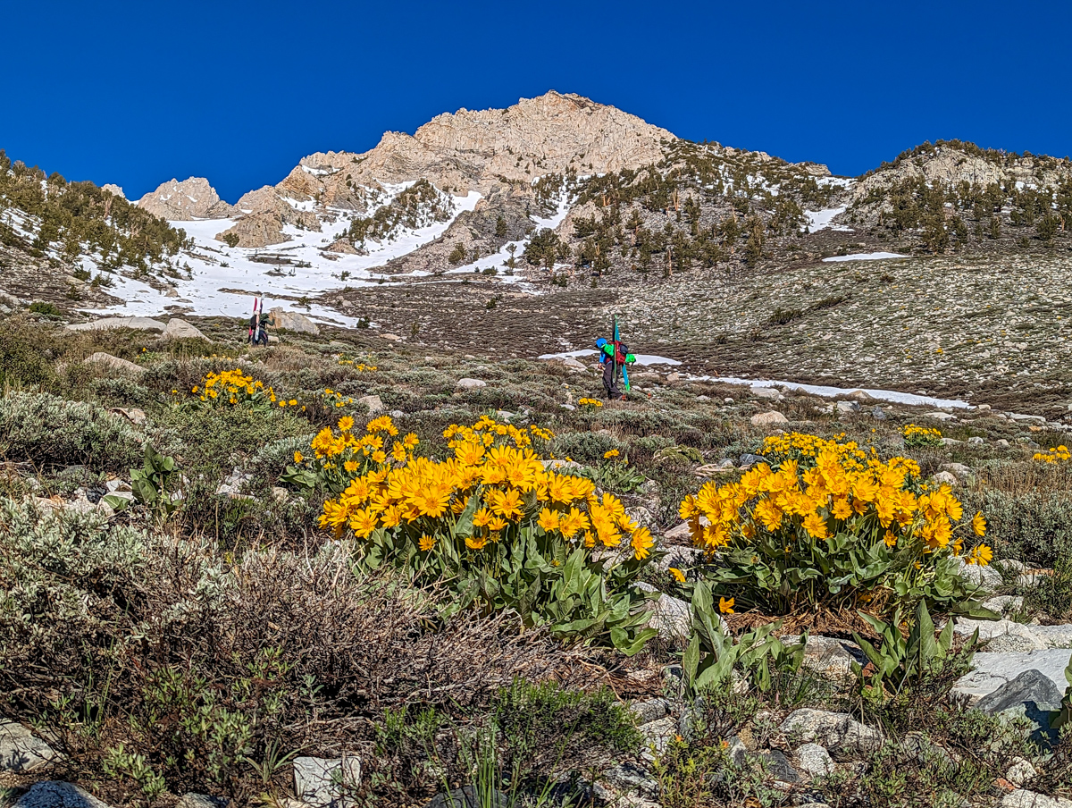
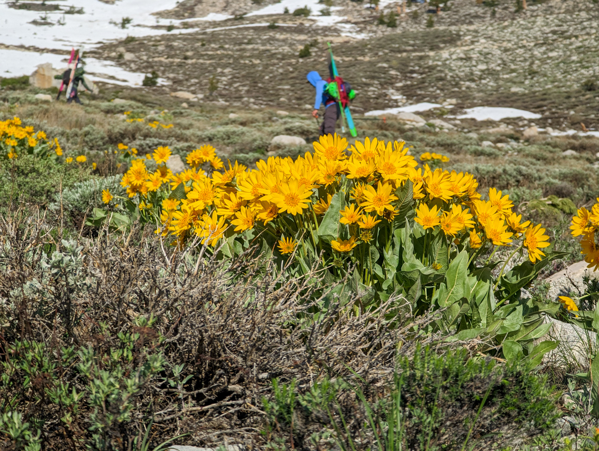
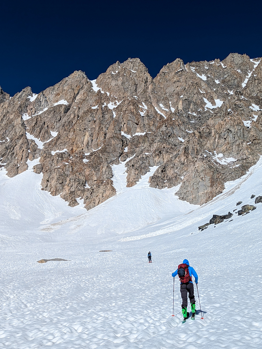
We started walking at 6:30am.
- Step 1: hike up to the snow in shoes and transfer to skins and ski crampons
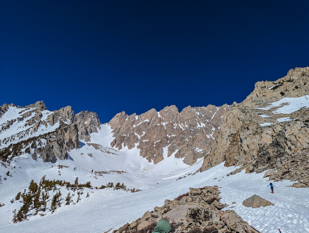
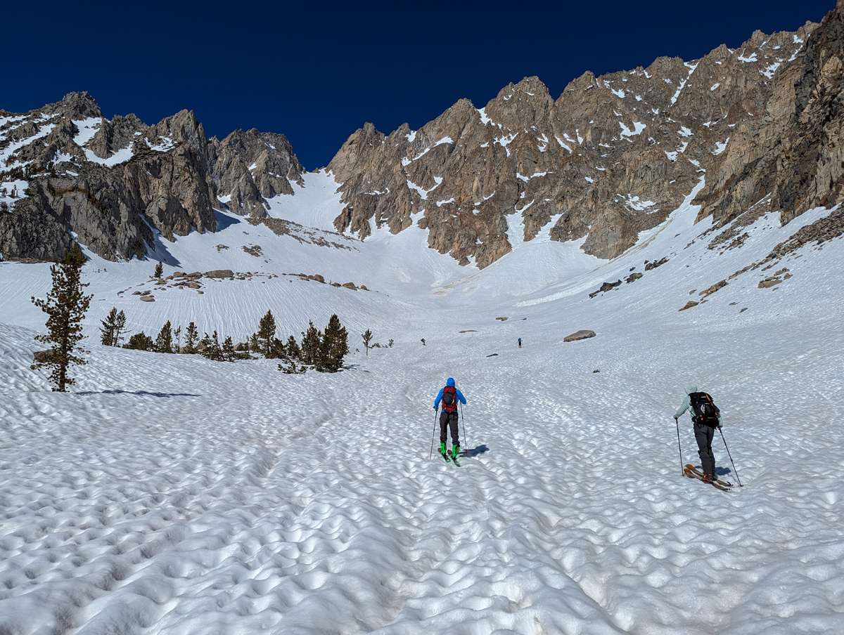
- Step 2: skin up the lower flank
- Step 3: skin up the lower bowl
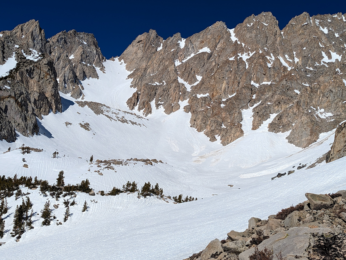
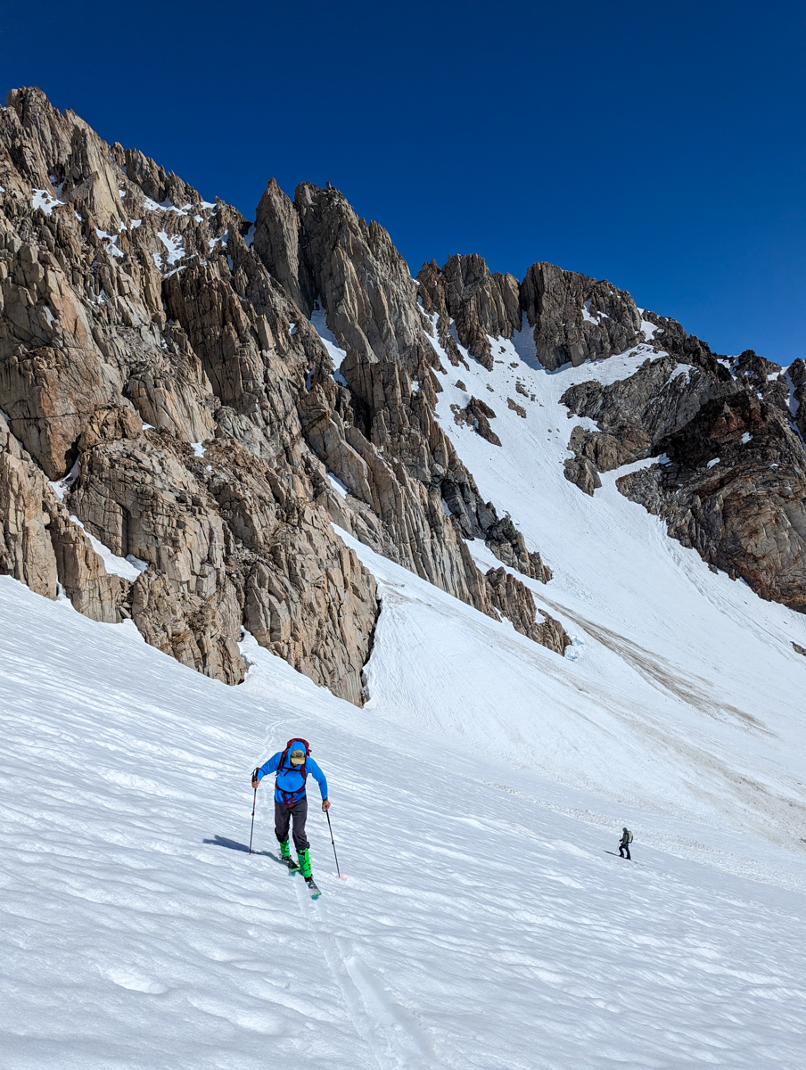
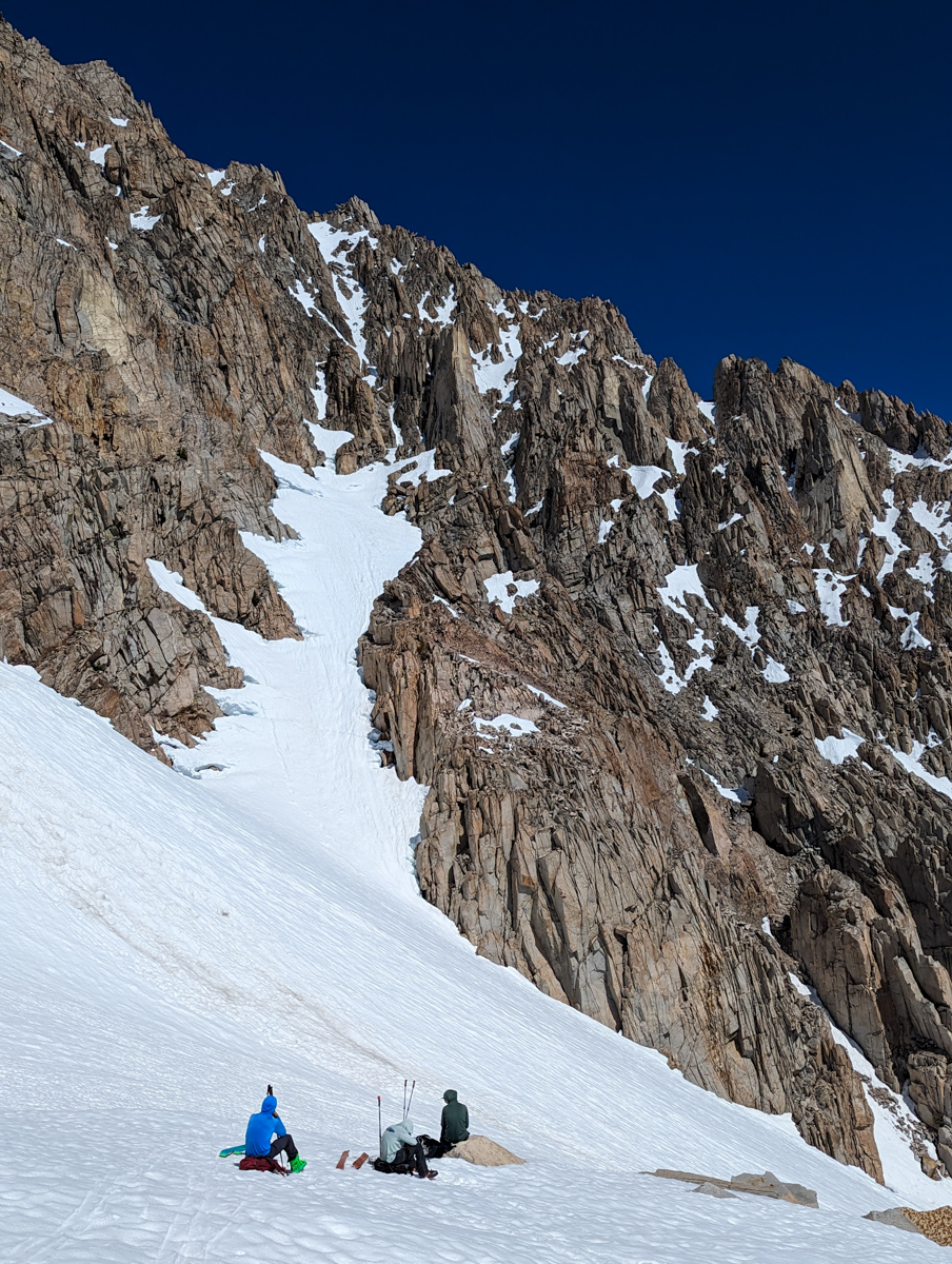
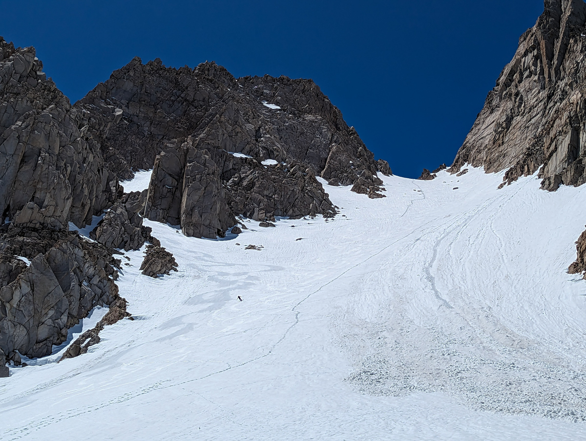
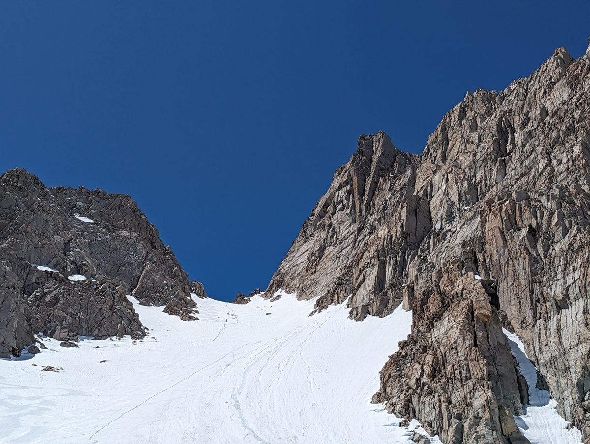
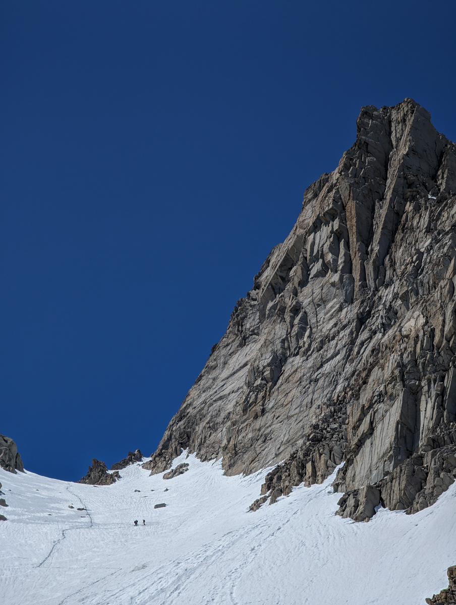
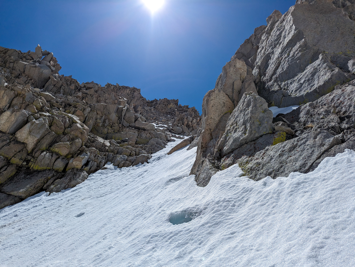
- Step 4: skin up “Basin Couloir” to the base of “Basin Couloir Alternate” (a chute on the lookers left)
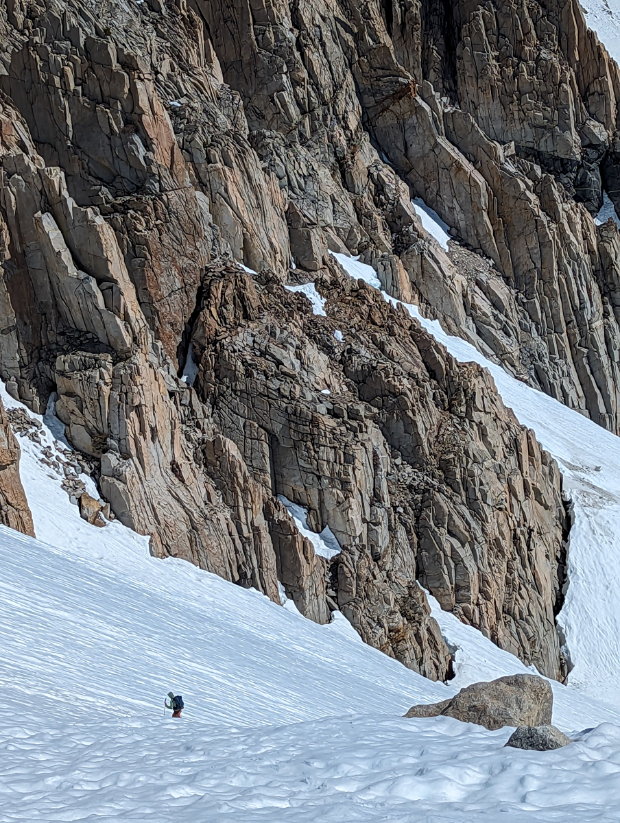
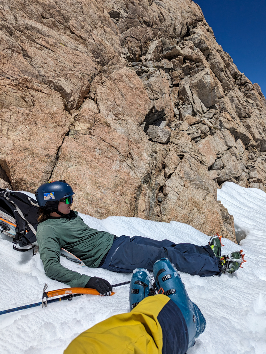
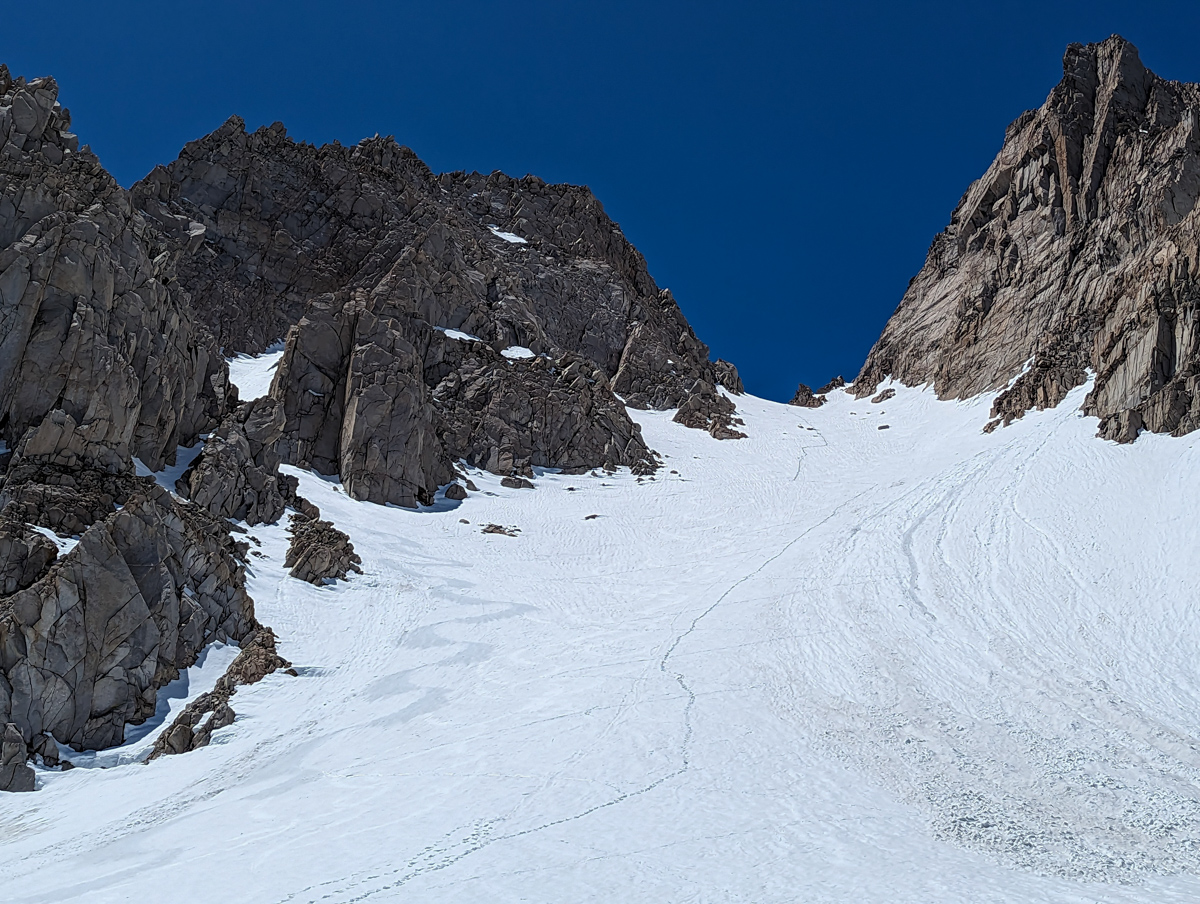
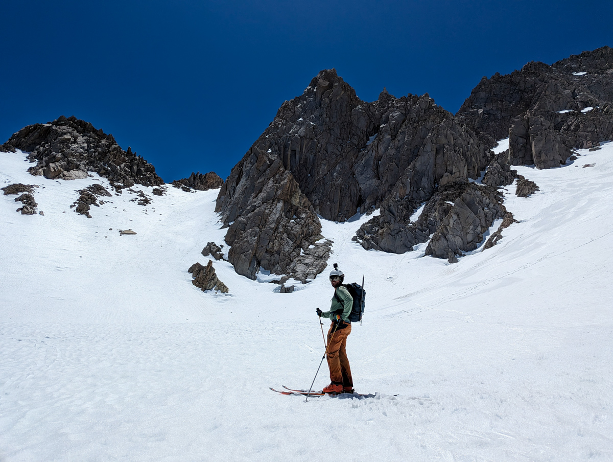
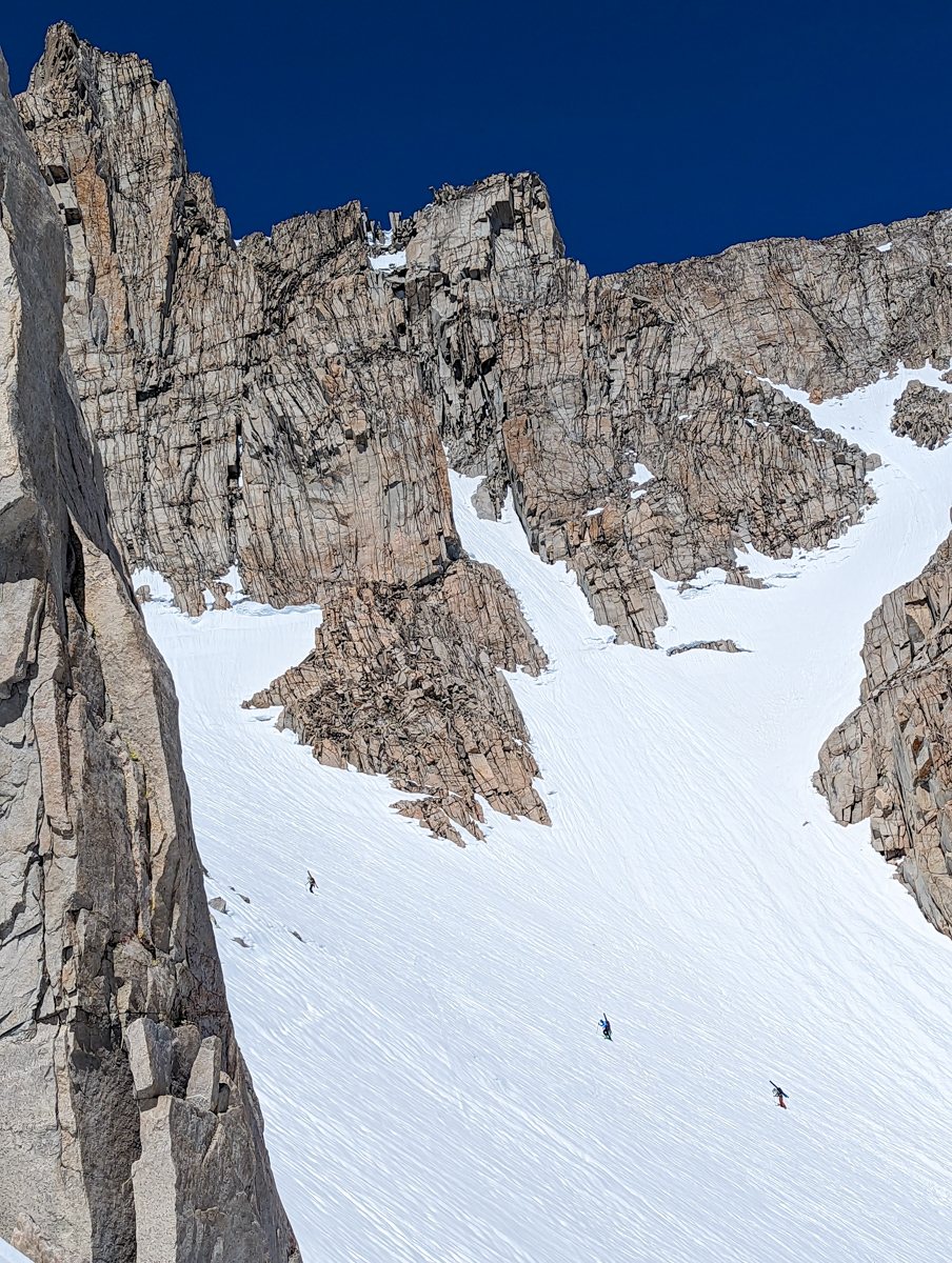
Once at the base of the “Basin Couloir Alternate” the aspect changed to north and we switched to crampons & ice axe.
The cramponing was excellent.
The snow firm.
Too firm for skiing, but great for climbing.
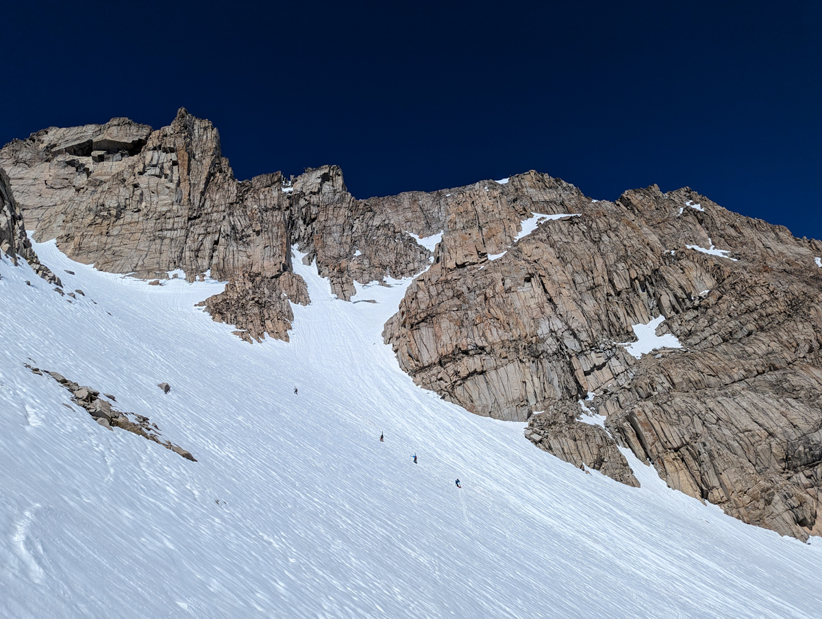
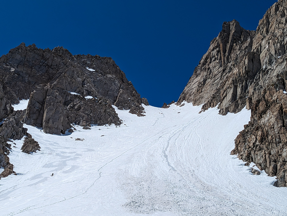
Martin & I quickly walked up the chute.
Dwanis, Trevor, Lee, & Greggy continued up “Basin Couloir”.
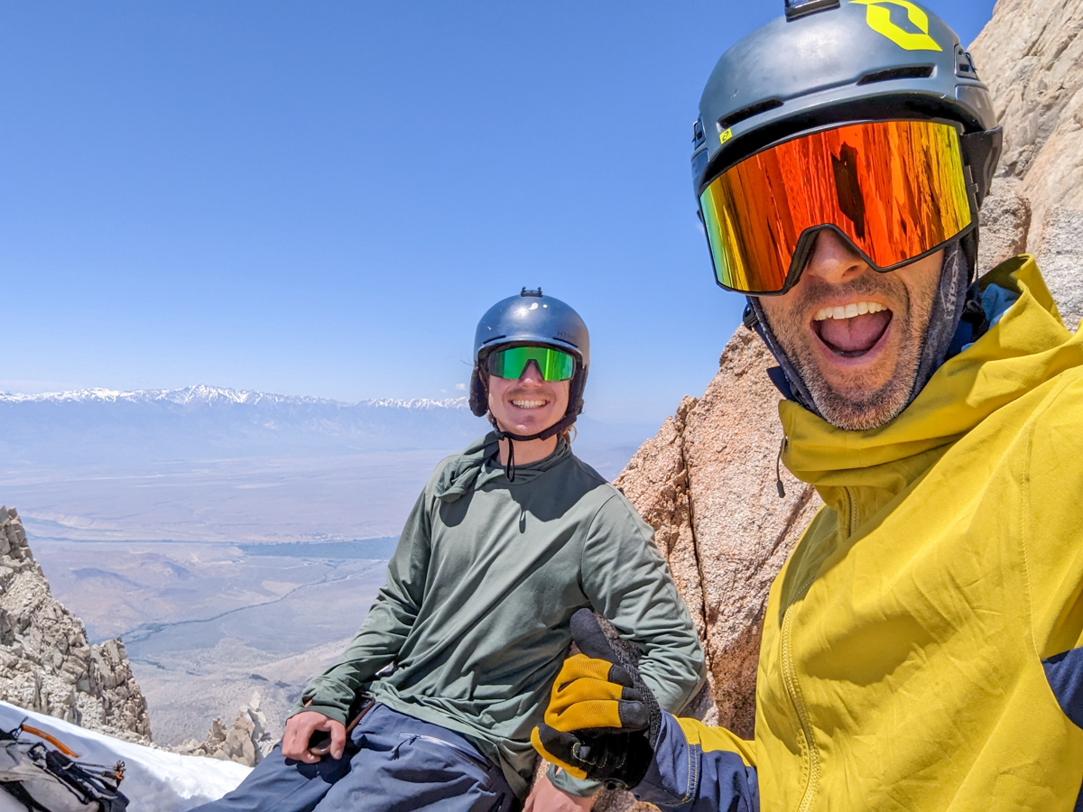
Martin & I topped out in the “Basin Couloir Alternate” at 12,500′ after 5 hours of hiking from the car.
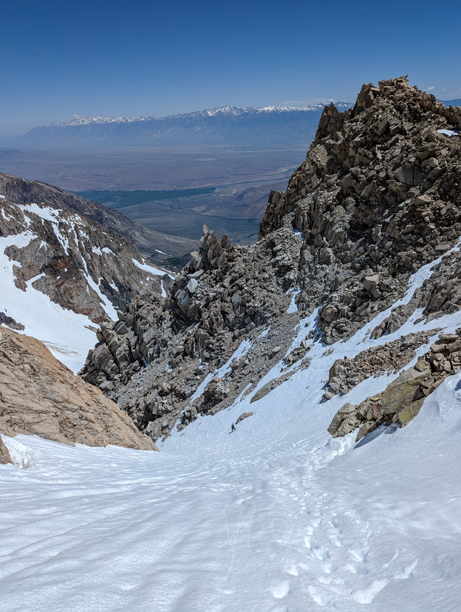
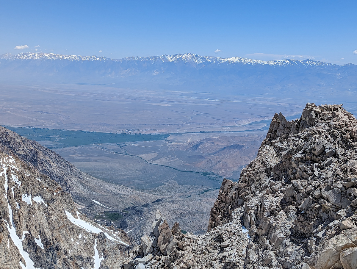
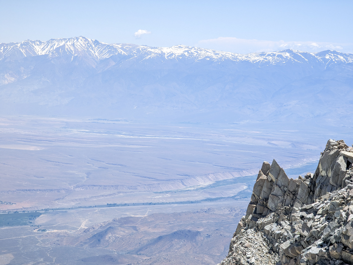
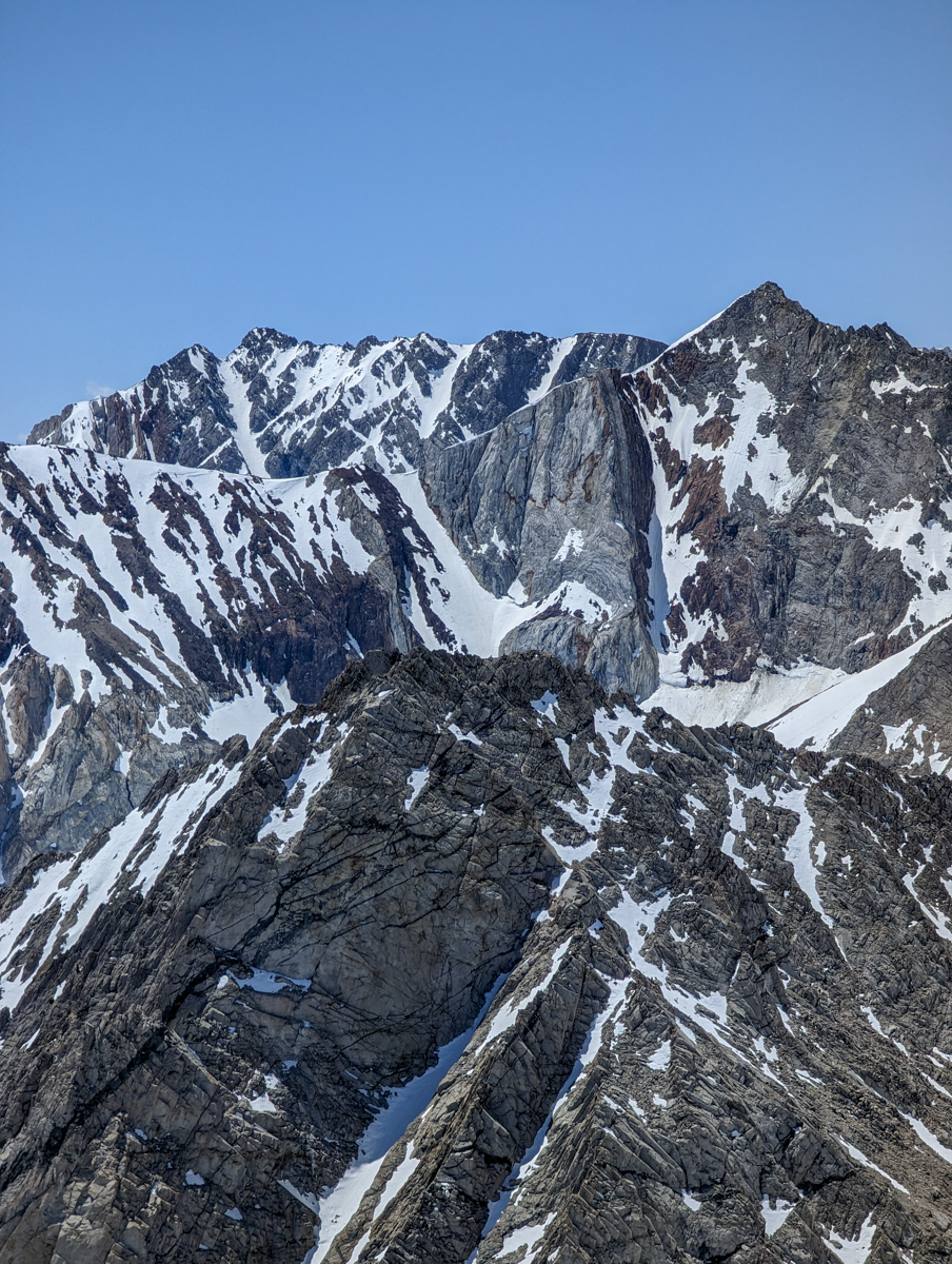
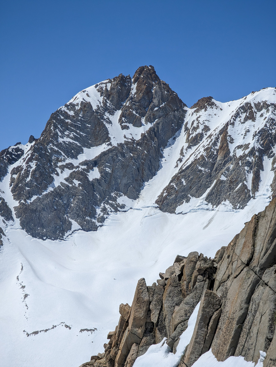
The views off the back were intimidating.
Mt. Humphreys’ couloir looked steep and spicy with a bergshrund at the bottom that was just passable.
The Checkered Demon Chute had a large, impassable bergshrund and didn’t look good overall.
Kindergarten Chute looked good – but we could only see the top half.
The top half of the North Couloir of Mt. Emerson looked sweet (we skied this baby on May 23, 2023).
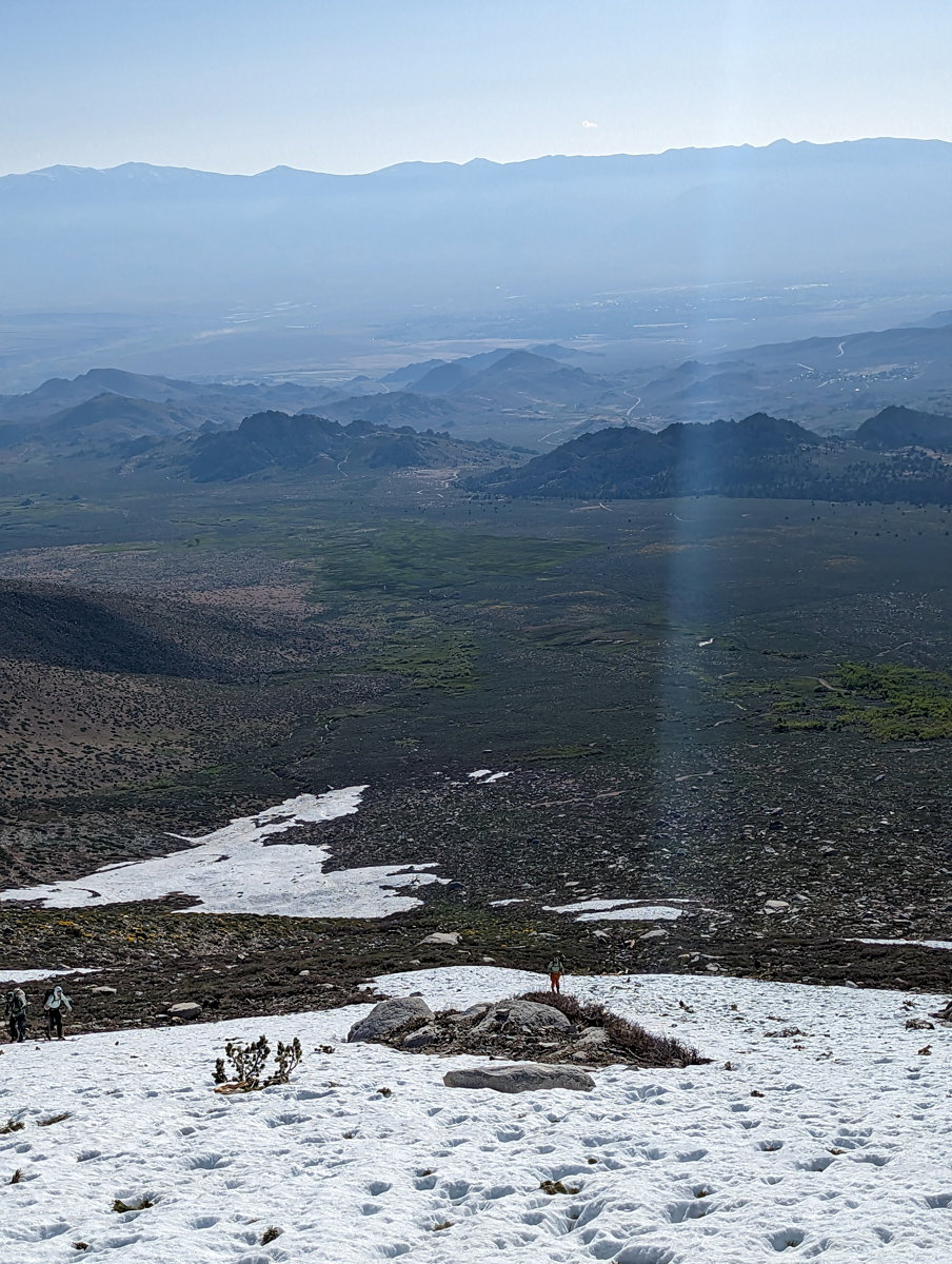
Looking east was difficult.
There was simply too much air.
It damn near made ya swoon…
The White Mountains were floating.
Round Valley and the Owens River Valley were impossibly far below.
The Buttermilk Road was a windy, tiny, difficult to understand thread that connected everything…
We lingered not.
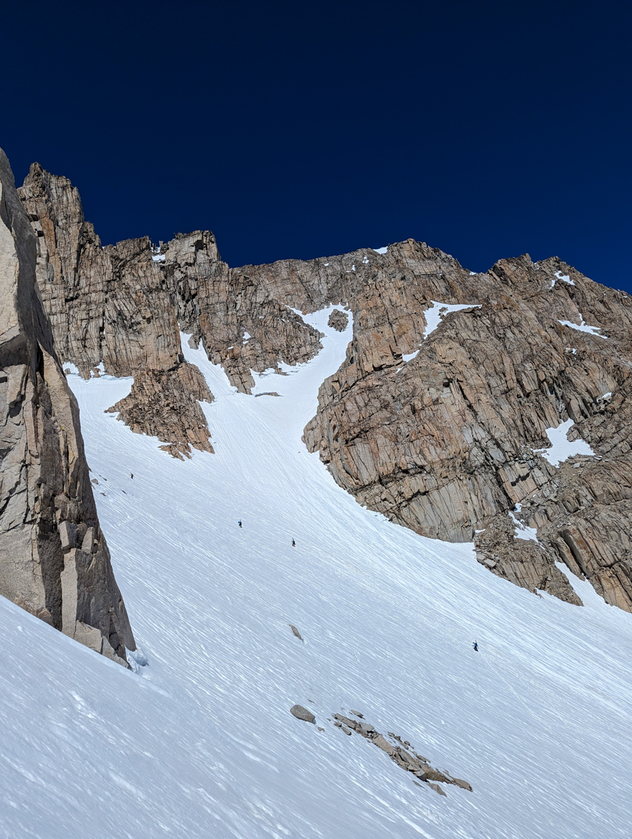
The chute was firm hiking up but the heat hit hard near the top and the snow transformed to a golden corn rapidly.
I dropped first and the snow was perfect.
It was steep in there.
I struggled against my fatigue to keep a solid rhythm down the chute and through the tight choke at the bottom.
Big, deep, forced breaths.
The chute was great!
The apron was rough…
Still firm and powerfully corrugated.
I waited on the bench for Martin and the rest of the crew with a satisfied smirk.
I’d been wanting to ski this zone for so long…
We exchanged smiles and high fives and continued.
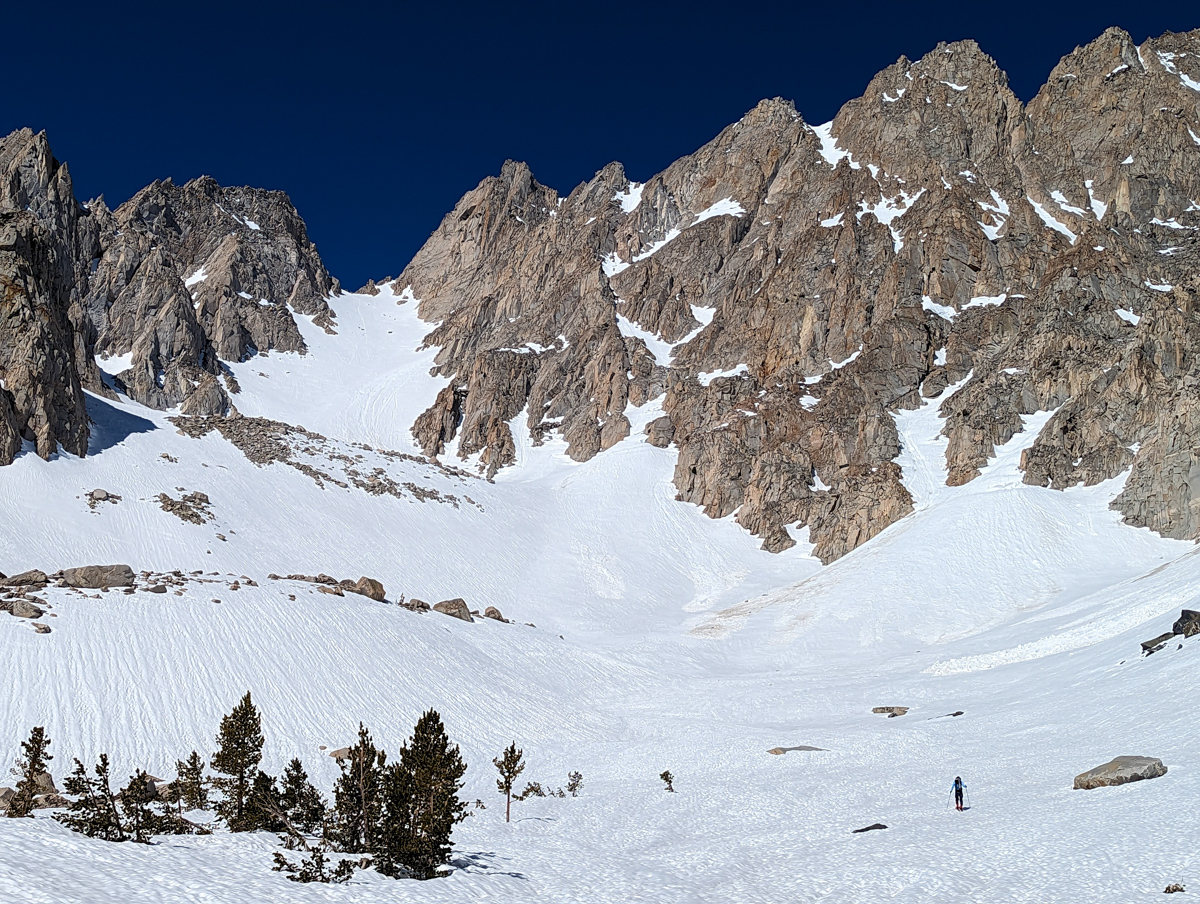
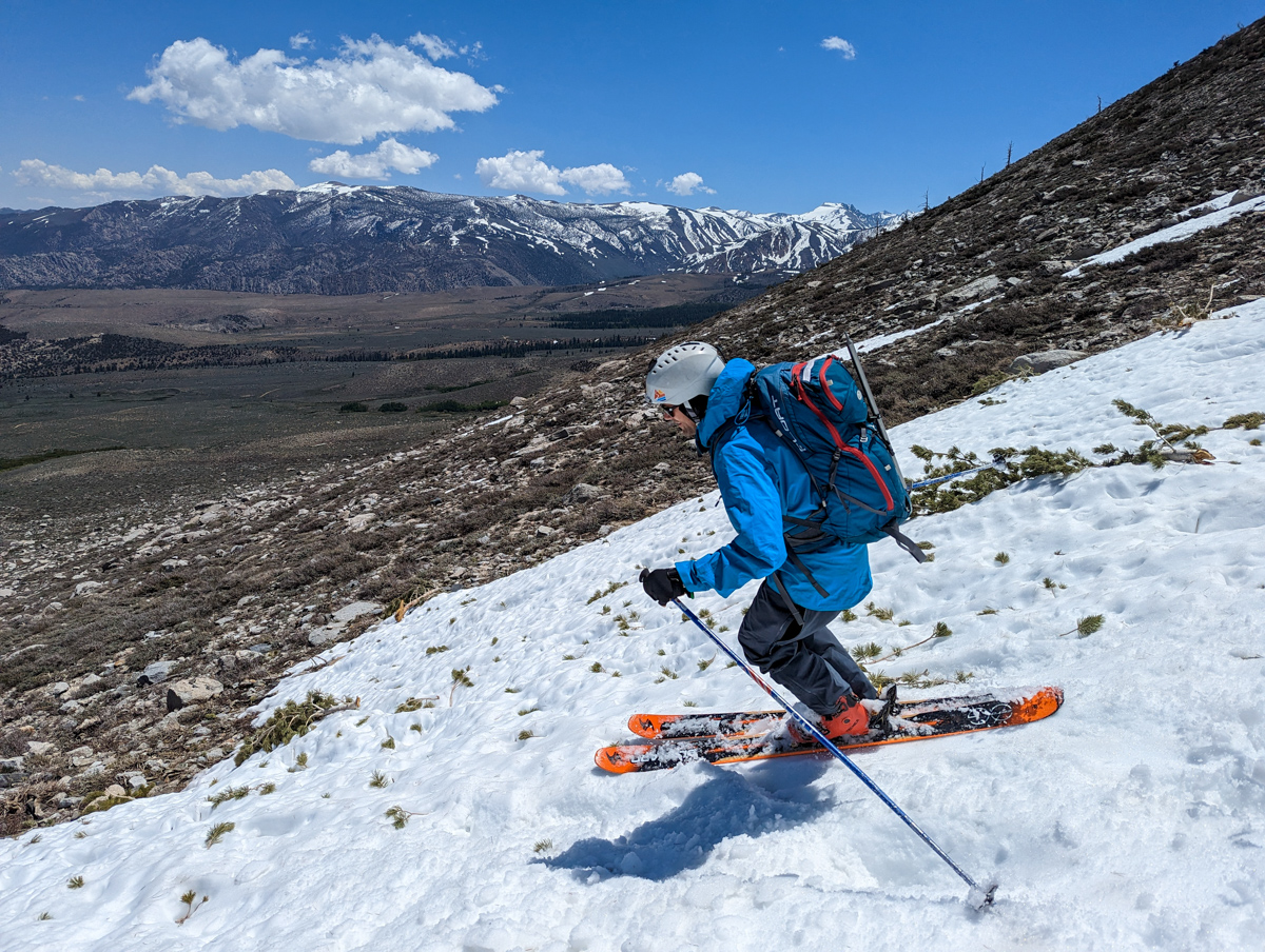
The lower bowl was fun.
Good corn.
The lower flank was perfect.
Tree skiing in corn was hilarious.
We party skied the 2nd half of the flank and it was a hoot.
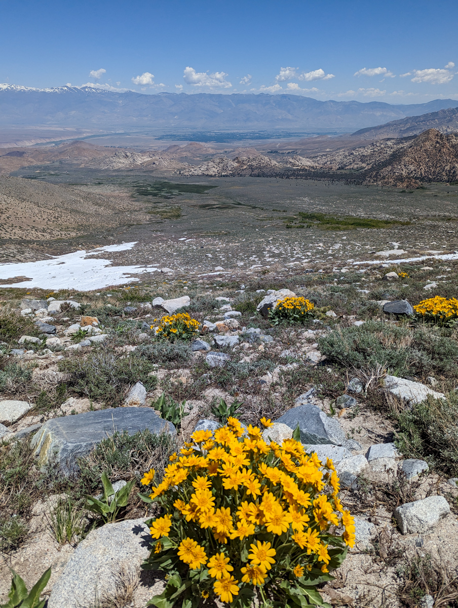
We walked down the dirt in ski boots then skied the final snow patch to the car.

6 hours and 45 minutes round trip.
The 4×4 ride down to reality felt a helluva lot longer than the ride in.
The mud-pit was easy going downhill.
The first paved road felt as smooth as silk.
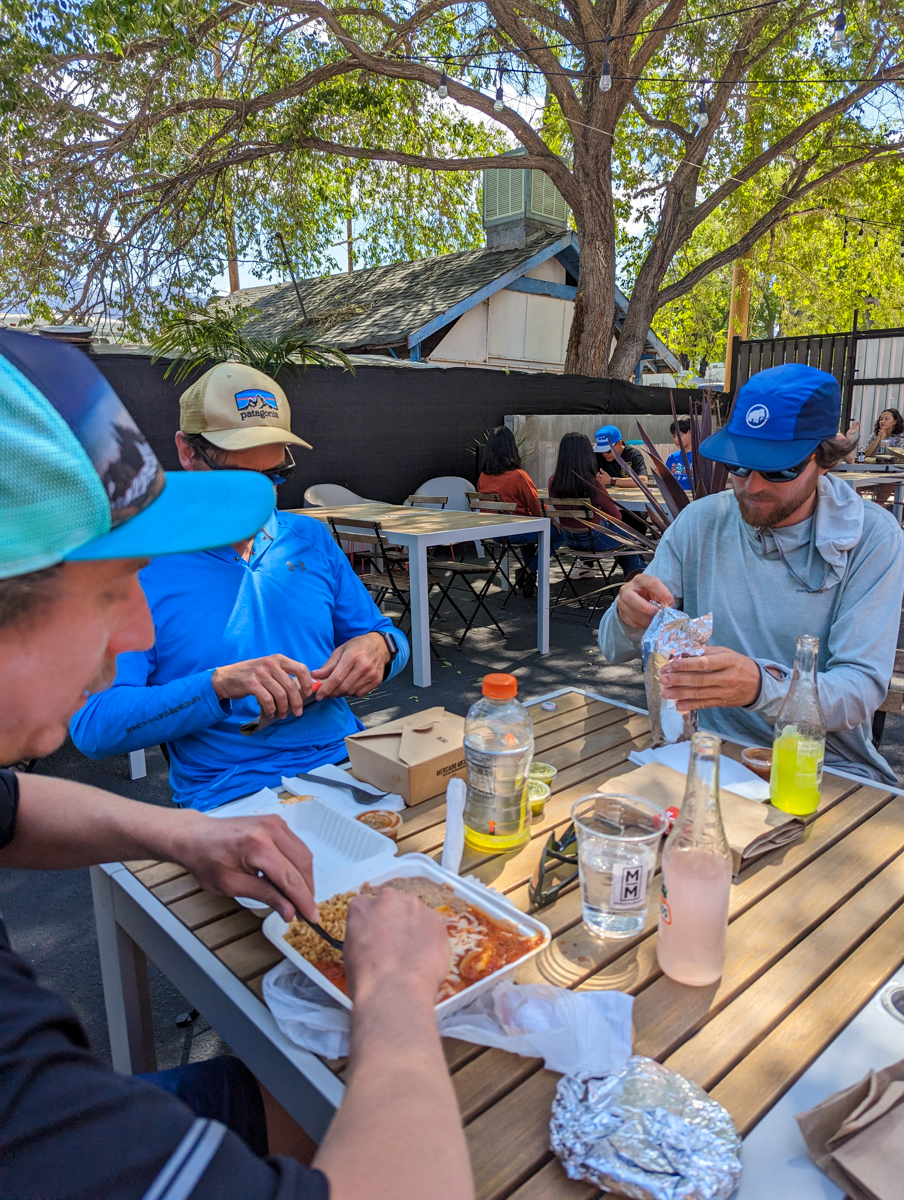
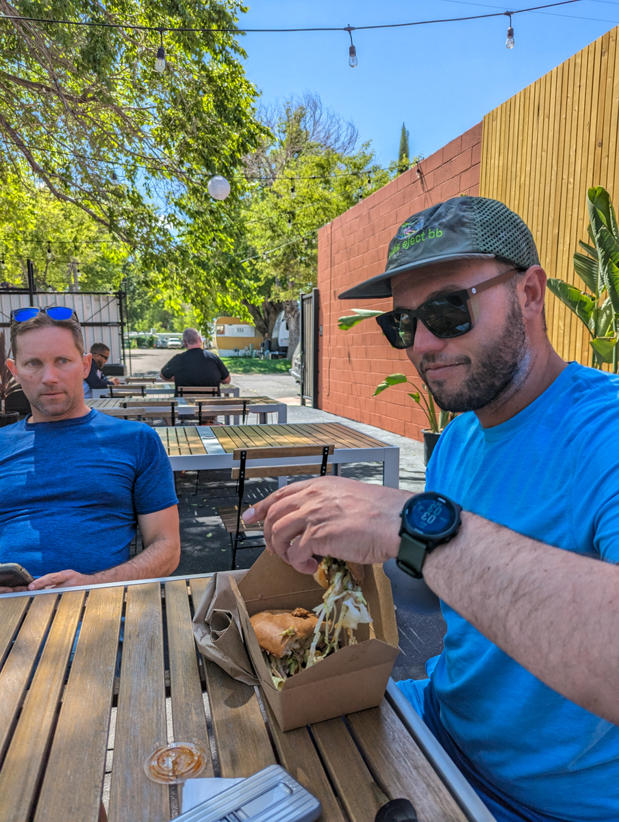
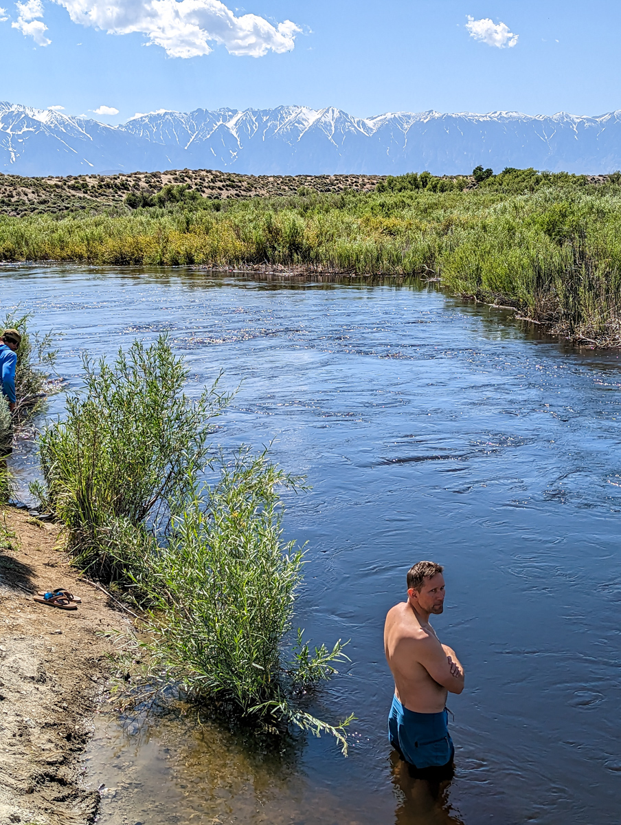
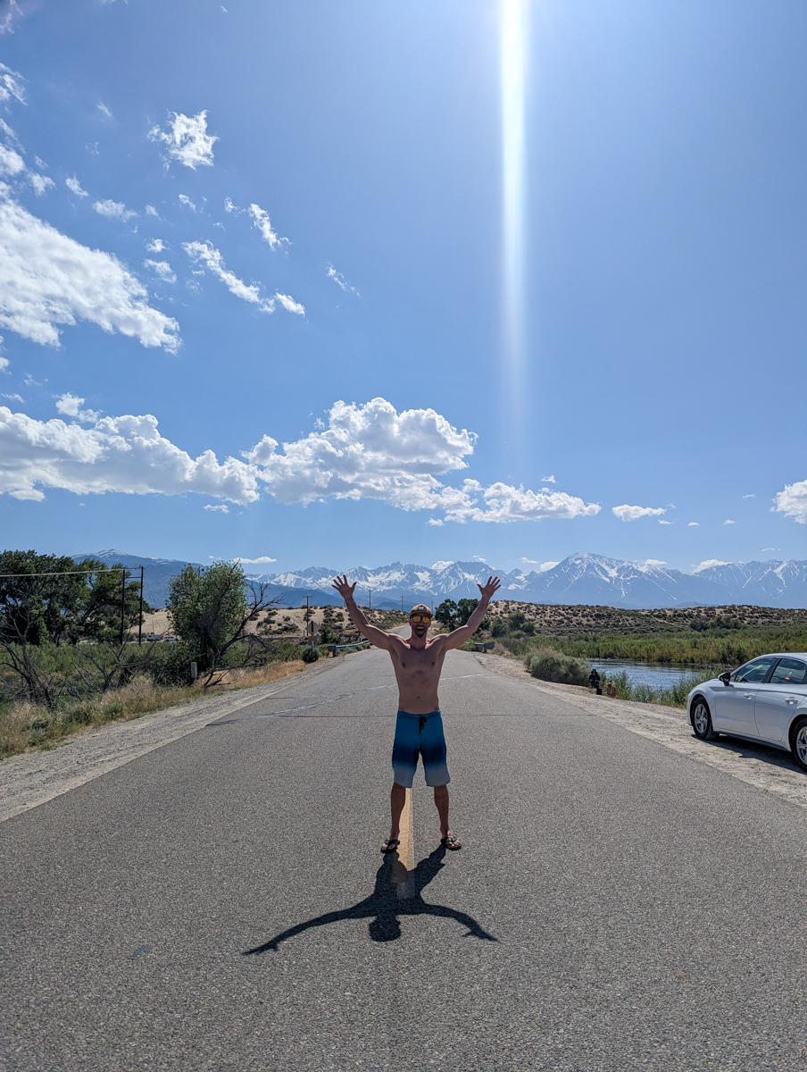
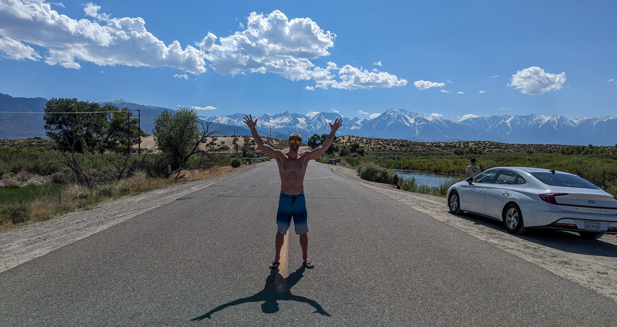
We grabbed burritos at Mercado Mexico in Bishop before jumping into the Owens River for a swim.
The temperature was about 90ºF down there making the cold river water feel great.
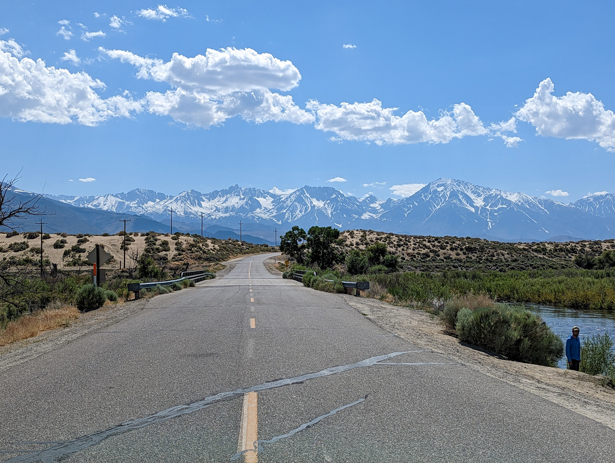
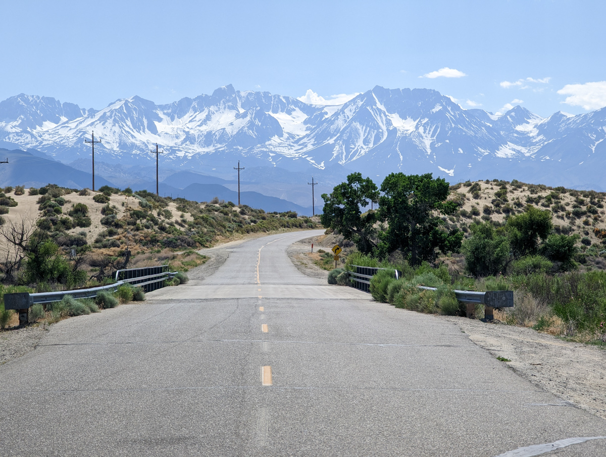
The views of Basin on our drive home added to our satisfaction.
Thanks, California!
SPRING 2023 REPORTS
- 5/31/23: Trip Report: 12,808′ Four Gables, CA – “Tungstar Bowls”
- 5/27/23: Trip Report: 11,160′ Mt. Scowden – Lundy Canyon – “North Face Chute”
- 5/24/23: Sierra Nevada, CA Report: Skiing Through A Lava Tube Cave
- 5/24/23: Sierra Nevada, CA Surf Report: Shredding The Lazy River At High Flow
- 5/23/23: Trip Report: 13,118′ Mt. Emerson – The 45º Steep “North Couloir”
- 5/20/23: Trip Report: 12,200′ Mt. Esha, CA – “2nd Chute”
- 5/18/23: Trip Report: McGee Creek Peak, CA – 2,800-Vertical-Foot “Wineglass Couloir”
- 5/16/23:Trip Report: 10,908′ Carson Peak, CA – 45º Steep “Pete’s Dream”
- 5/5/15/23: Trip Report: 11,812′ Mt. Laurel, CA – 3,500-Vertical-Foot “Pinner Couloir”
- 5/10/23: Trip Report: 13,005′ Mt. Morgan, CA – Nevahbe Ridge Gullies
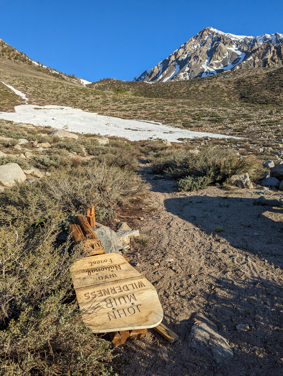
PHOTOS IN CHRONOLOGICAL ORDER