Brought to you by 10 Barrel Brewing
Report From Thursday, March 11, 2021
It was deep inside the belly of the beast where we finally found solace.
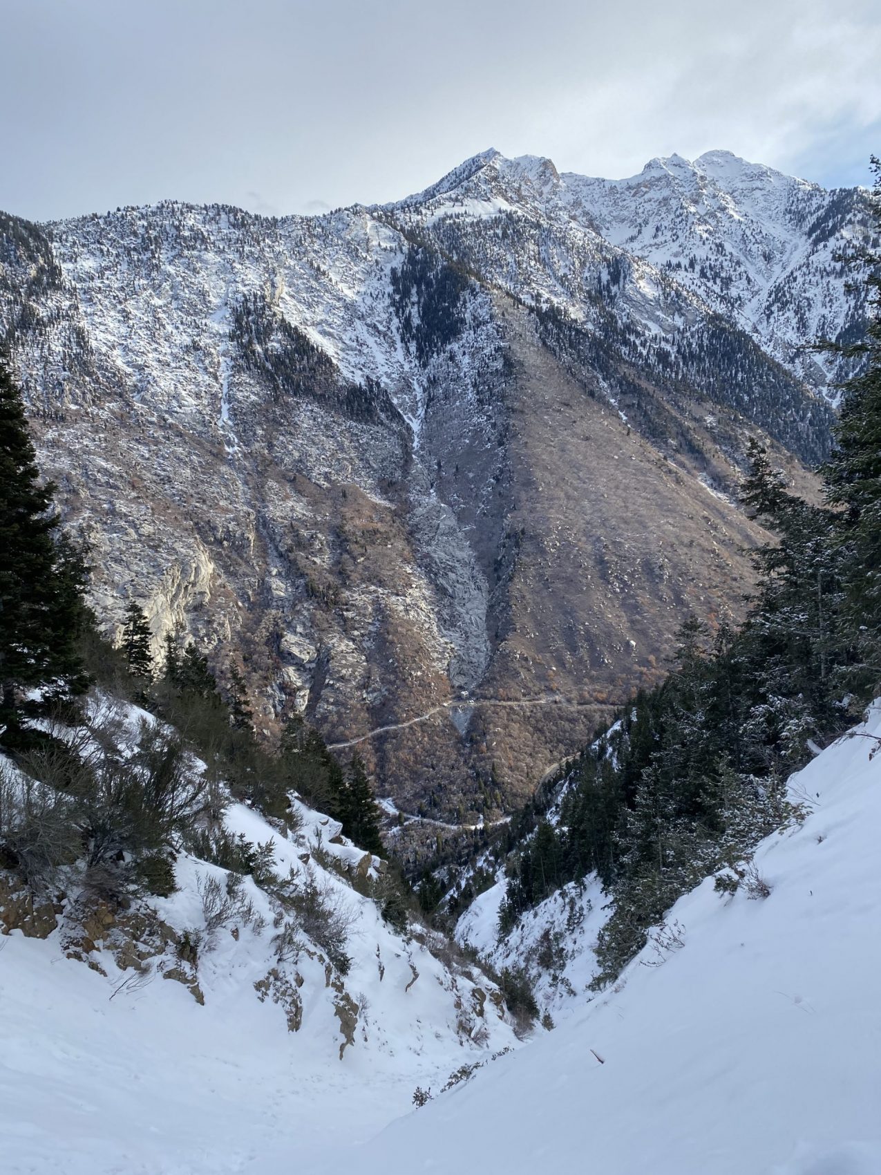
Buddies Landon, Gage, and I went for a long boot pack this morning up a narrow couloir near the entrance to Little Cottonwood Canyon, UT.
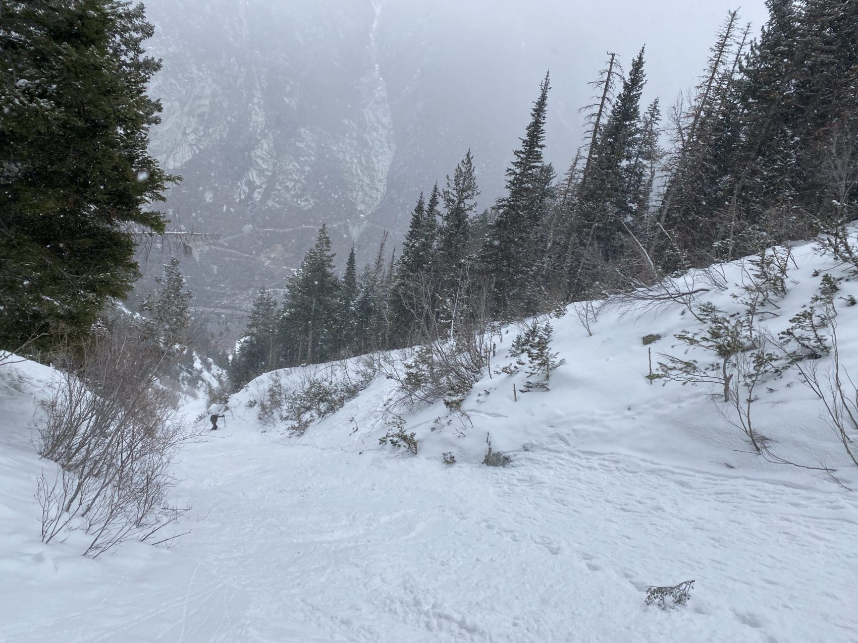
“Coalpit #4” is 3,000-vertical-foot long, 38º steep, narrow, couloir which Andrew Mclean, author of the Chuting Gallery, describes as a “kinder, gentler version of the Y-Couloir.”
Mclean writes,
“This is one of the lowest elevation north facing chutes in Little Cottonwood and has a similar feeling to its up-canyon brothers, the Y and the Y-Not. It sports a nice mellow finish, good tight chute skiing and a steep forested upper headwall.”
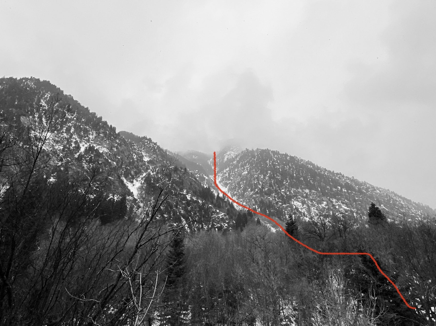
After skiing the Y-Couloir last Friday, I would agree by saying that it is a somewhat similar, mellower version of the Y—but it’s not that kind, and is still steep enough to set your legs on fire the whole way down.
But it’s fun—very fun.
LCC received roughly 4-6″ of new snow in the past 48-hours, so the snow up top was soft powder sitting on a firm layer of melt-freeze crust below—just what you wanted for steep, spring chute-skiing.
As we skied down the couloir, the snow went from powdery to chalky to firm, then to really firm for a short section, then back to soft and slushy at the bottom.
Coalpit #4 in Little Cottonwood Canyon, UT:
- Summit: 9,200′
- Car: 6,000′
- Vertical From Car: 3,000′
- Vertical skied: 3,000′
- Max Pitch: 38º
- Aspect: N
- Distance: 3.18-miles round trip
- Time From Car to Summit: 3 hours
- Car to Car Time: 4 hrs 43 mins
- Recommended Equipment: crampons, ice ax, no skins
- Where to park: 1.9 miles up the canyon on the right side of the road after the big boulder with the stick under it.
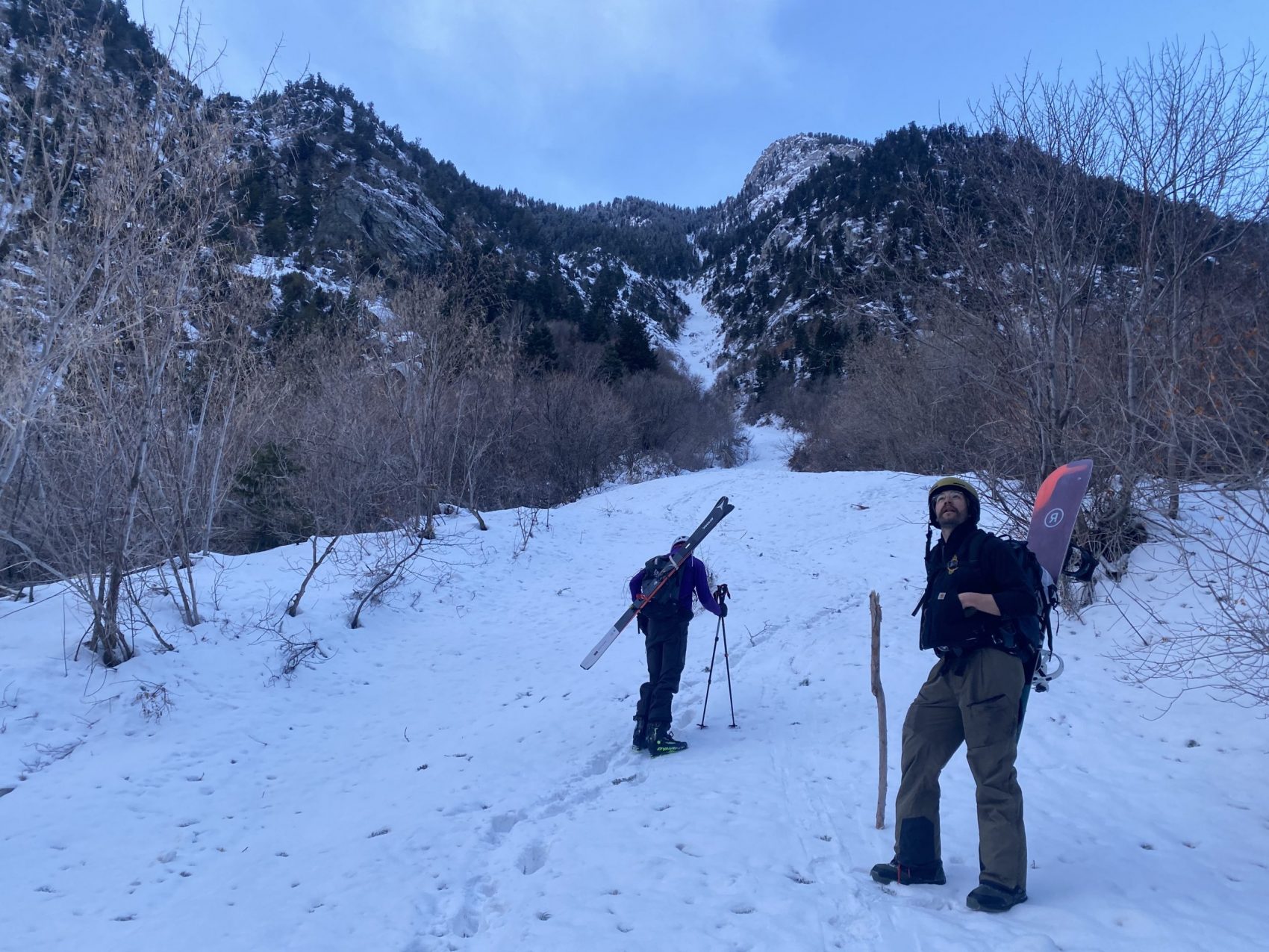
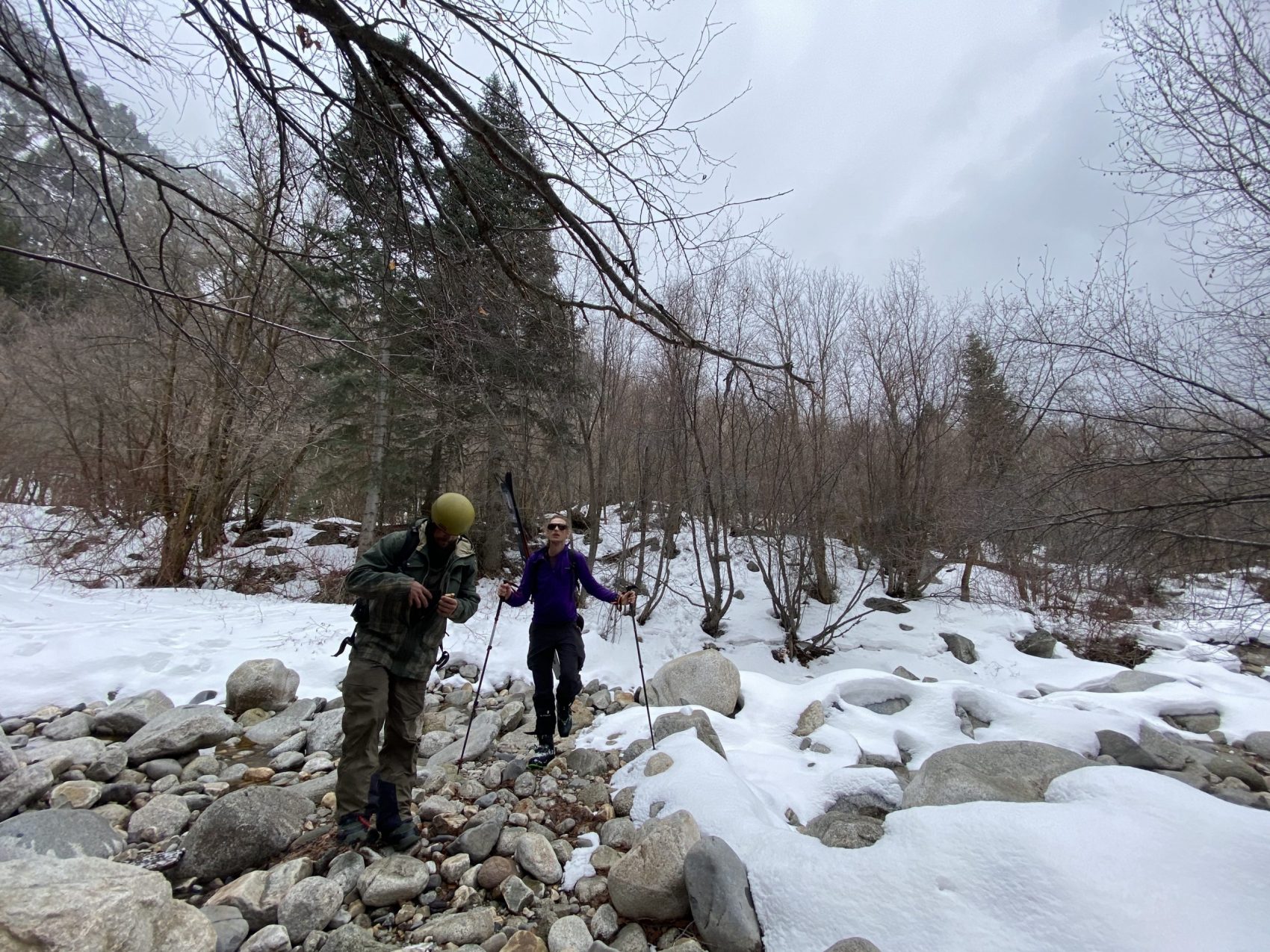
We met up at 6:30 this morning, crossed a river, and started bushwhacking.
The bushwhack was brutal and arguably one of the tougher parts of the entire morning.
But it was exciting to cross a river and cut our way through thick shrubbery to the base of a couloir—it felt like a true adventure right from the start.
Skies were clear this morning but it got consistently more cloudy as we hiked up.
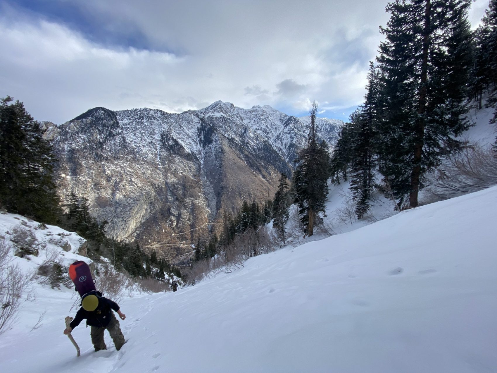
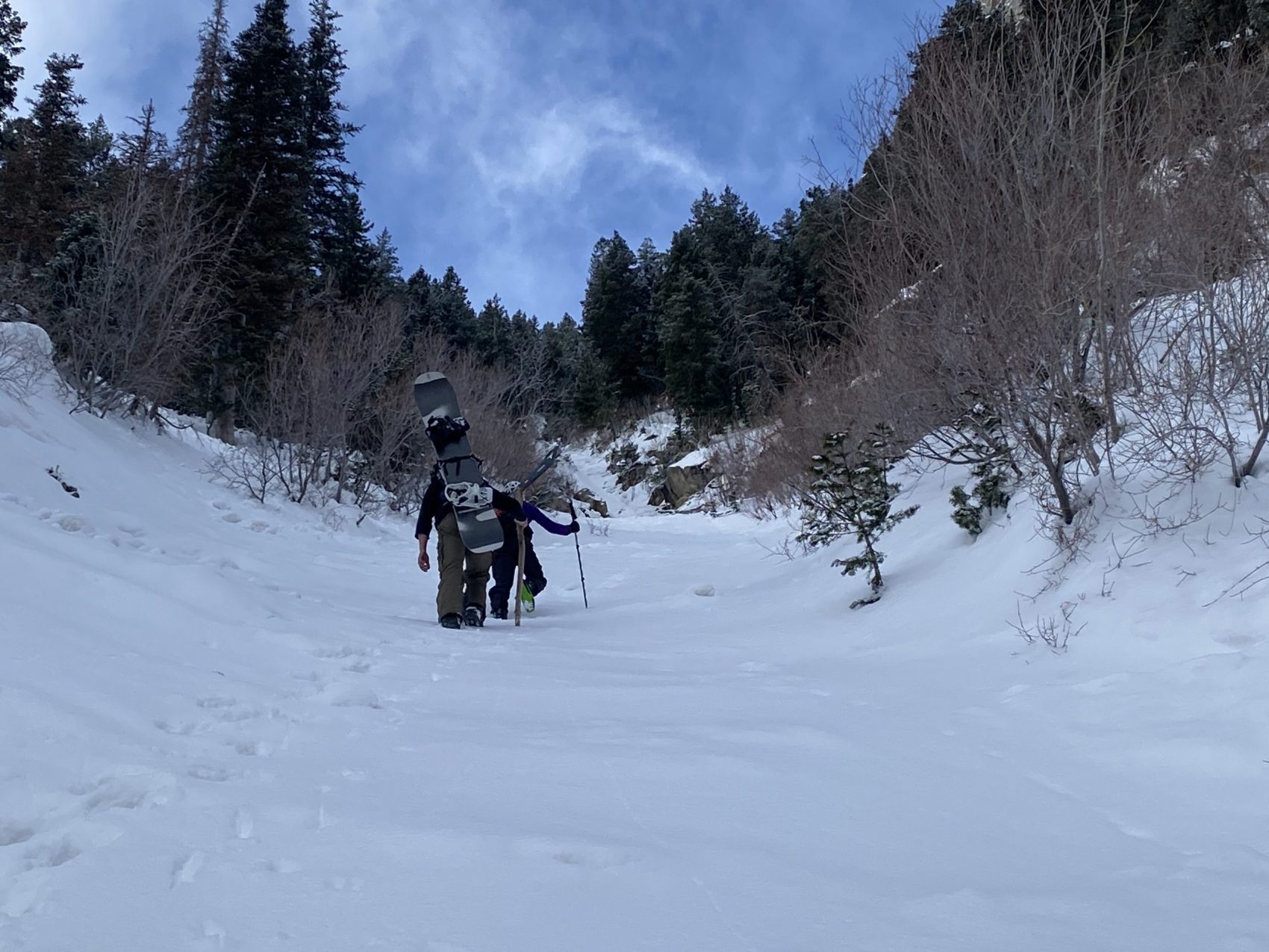
Once we hit the short apron to the chute, there was only one way to the top.
So we started booting.
I was a little tired at the start of the boot pack but I kept finding more energy—more stoke—the higher we ascended.
By the top, we were all feeling strong and good about life.

The Utah Avalanche Center had rated the day as LOW avalanche danger at all elevation and all aspects, and we did see signs of minor sluffing on the way up, likely from the wind, and a large, old avalanche crown.
This girl will bite you in the wrong conditions.
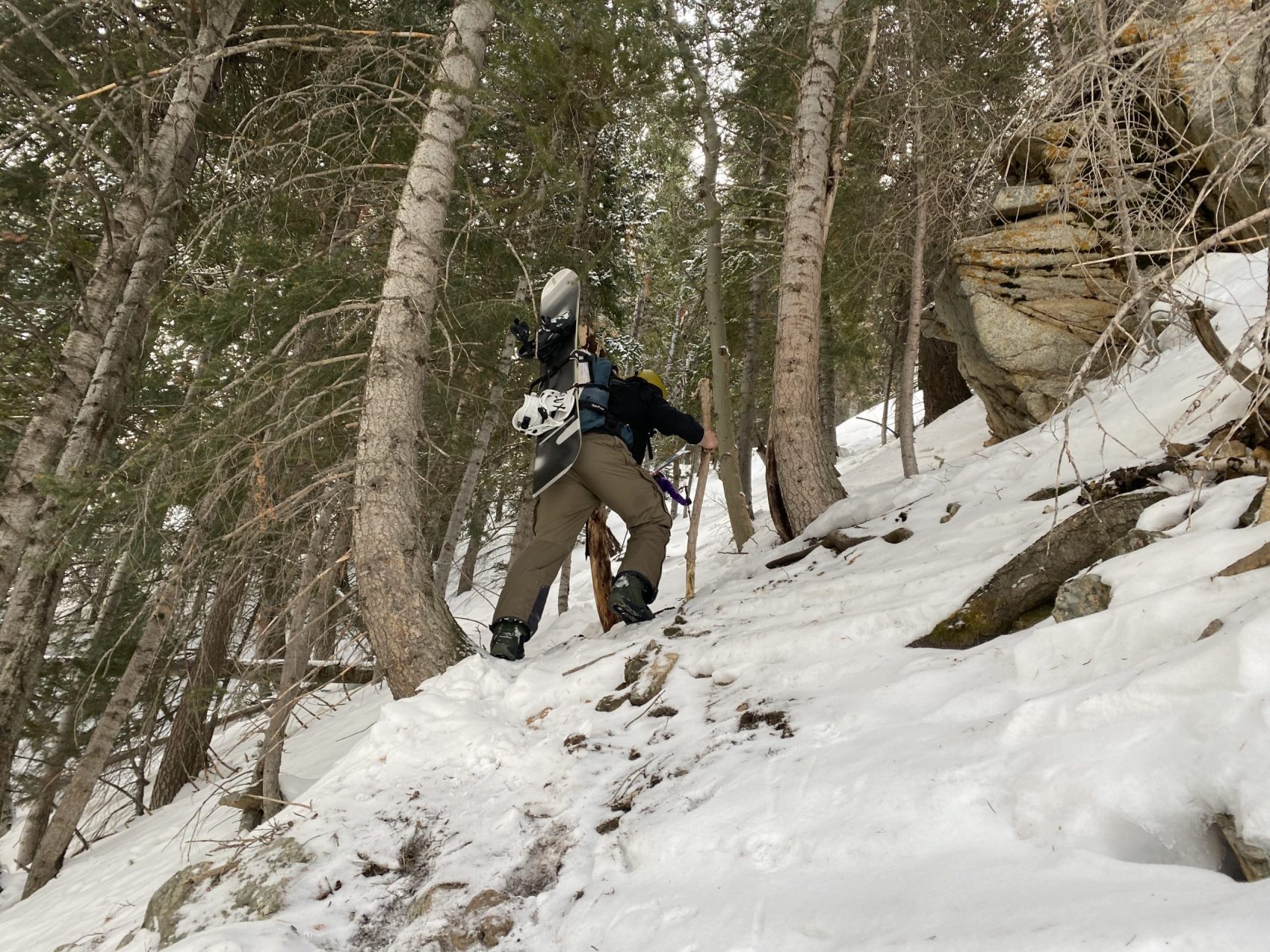
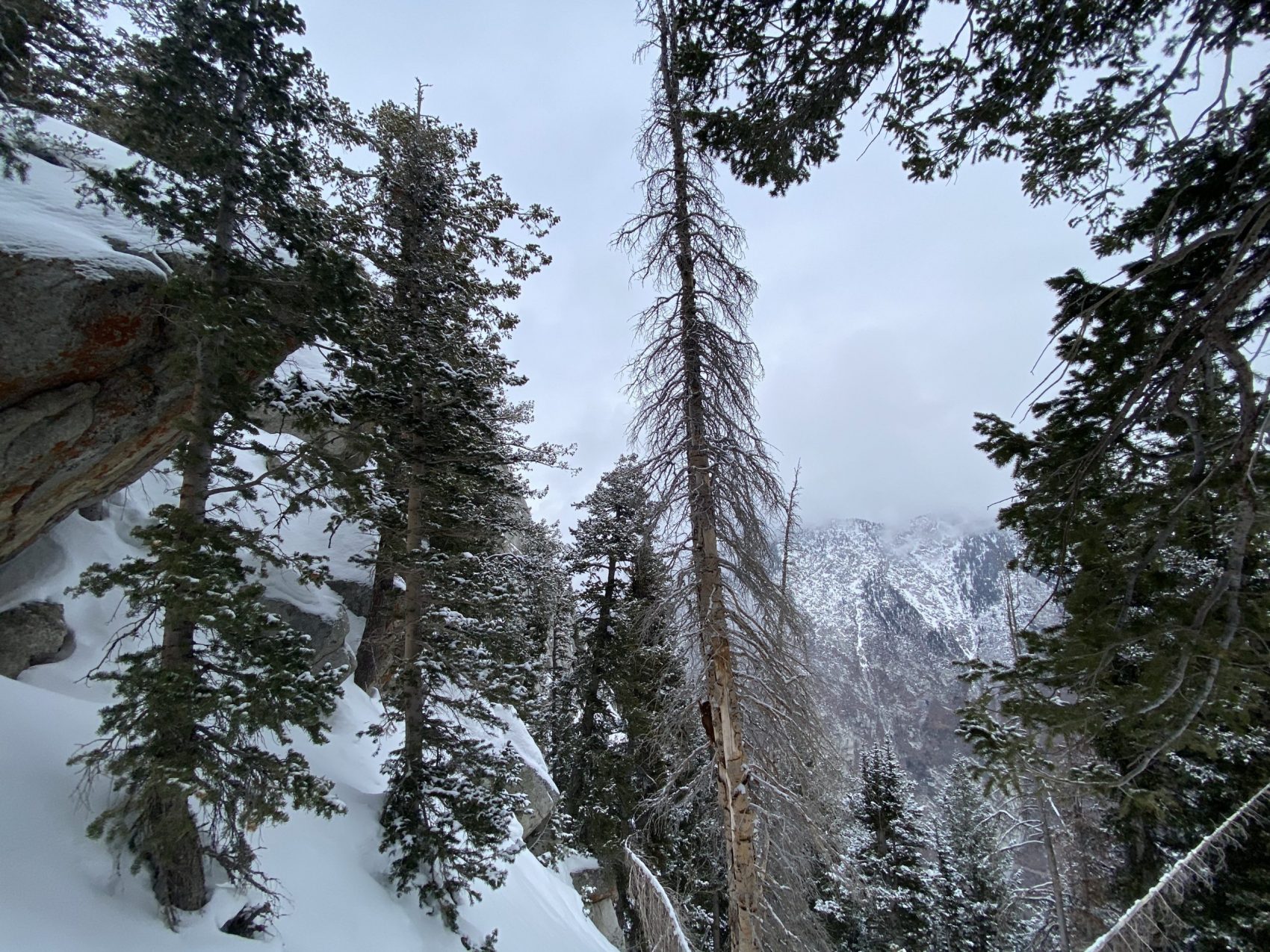
At the top, we enjoyed a quick bite and then descended into a stand of thick trees above the couloir-proper.
It was lightly snowing now, overcast, and a thick cloud was creeping its way up the canyon below.
The skiing was great in the upper portion of the chute with a few inches of new snow on a firmer layer underneath.
We were wary, however—parts of the chute held big, granite rocks that were barely covered with 1/8 of an inch of snow that we needed to avoid.
We skied down with this notion front of mind.
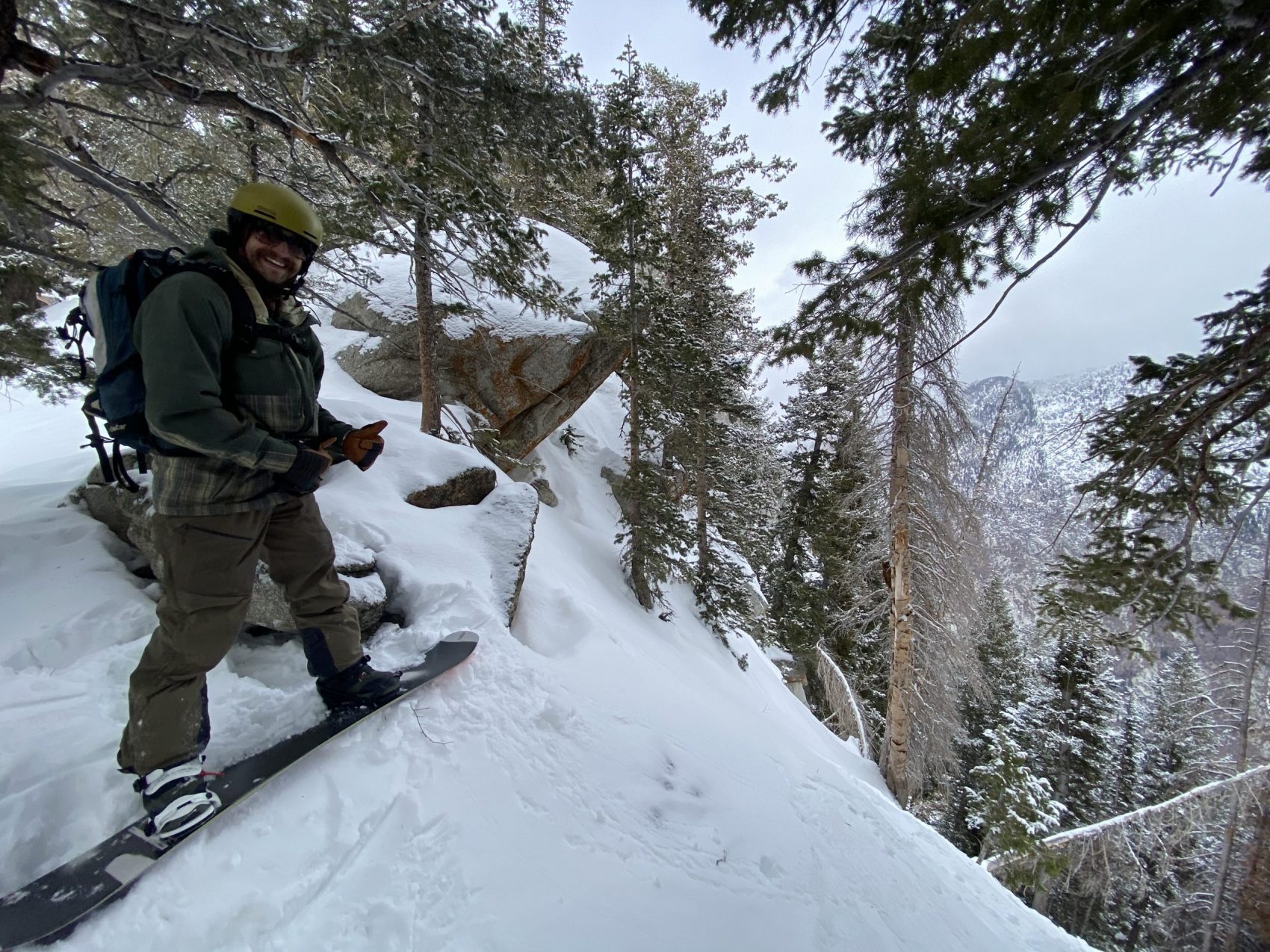
Minor sluffs were falling down the chute as we made turns, so we went one at a time to islands of safety—there aren’t many of these in this chute.
We got to the crux, which was a tight, rocky section that we questioned if it actually went.
Landon went down to take a look at it and immediately started sidestepping back up.
“Doesn’t go!” He shouted back to us.
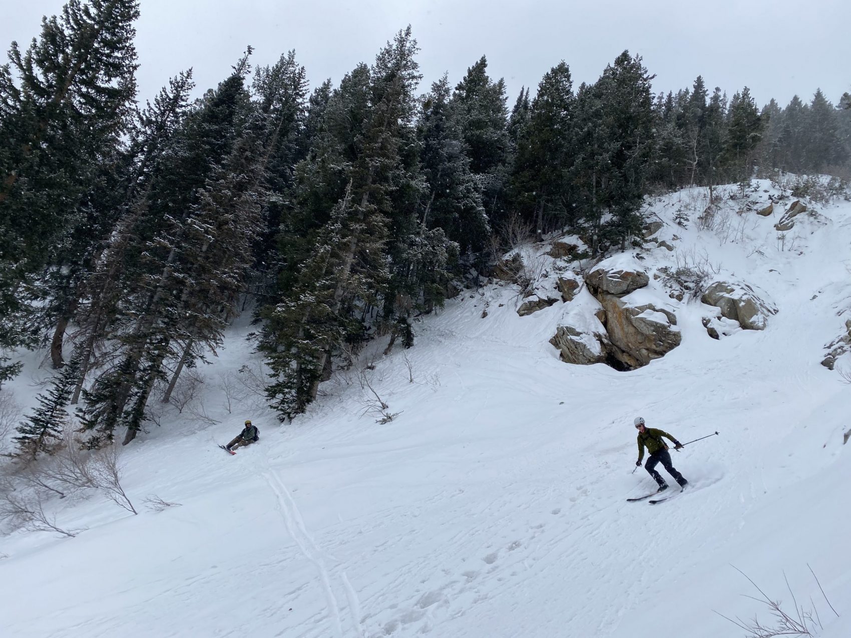
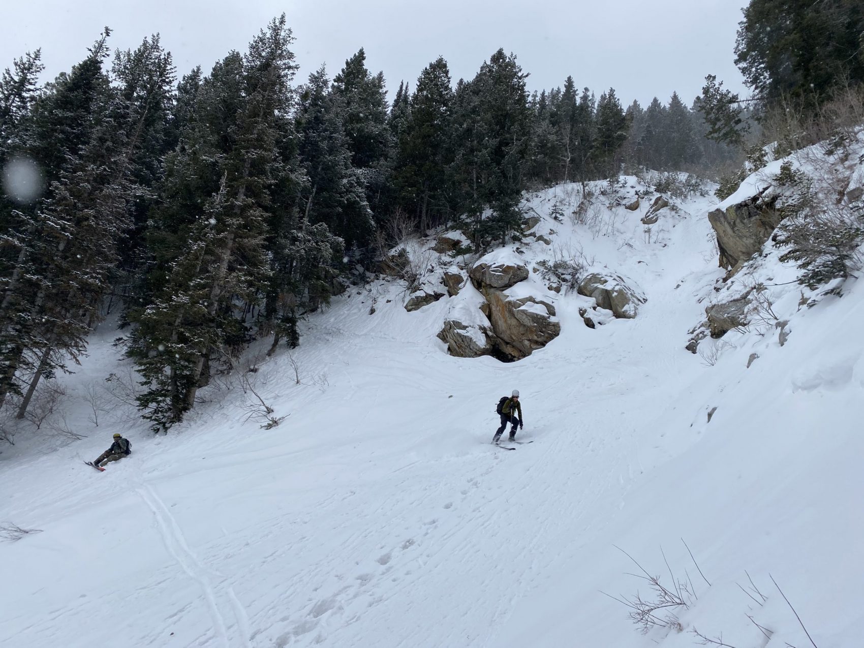
So we zigzagged through the thick, steep trees off to the side of the line which was hardly less spicy than the crux.
Then we got back into the chute and it was game on.
The snow now was chalky and fast and honestly better than any of us really expected.
A few more hundred vertical feet down and we encountered short, narrow sections of firm, icy and rocky snow that begged the utmost attention.
One part of the chute wrapped around to the right like a monkey’s tail with a big boulder in the center of it, adding a cool aesthetic.
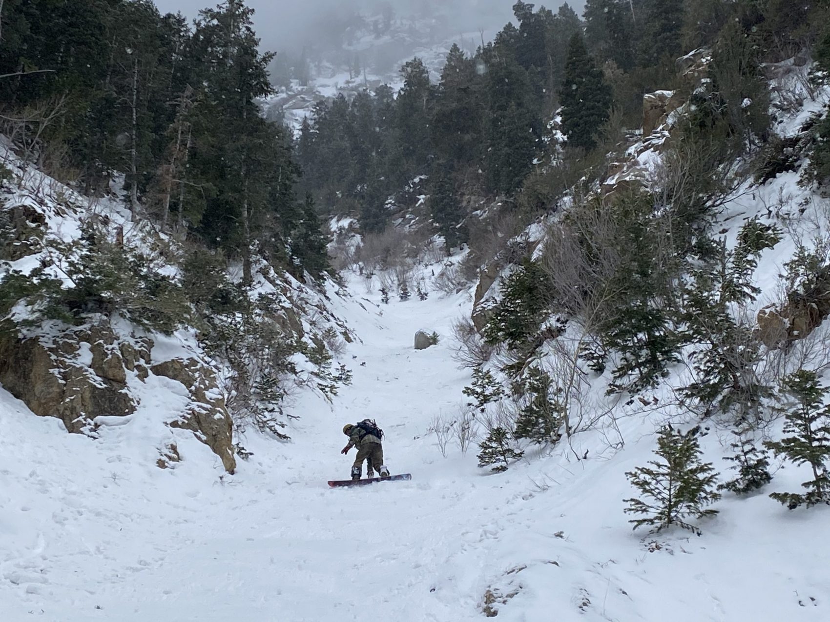
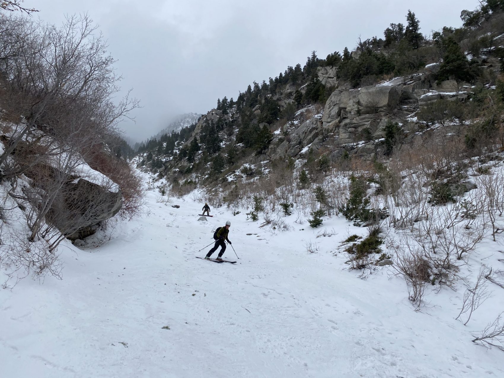
After this narrow section, the line widened up and it was smooth sailing down the rest of the chute.
Most of the remaining descent was firm and cruddy, with one chalky section, before turning into sticky, wet snow at the base.
We bushwhacked our way back to the river and reveled in our morning accomplishment for a moment and wondered if this line would still be skiable in a week.
It was thin in spots and is only getting thinner right now.
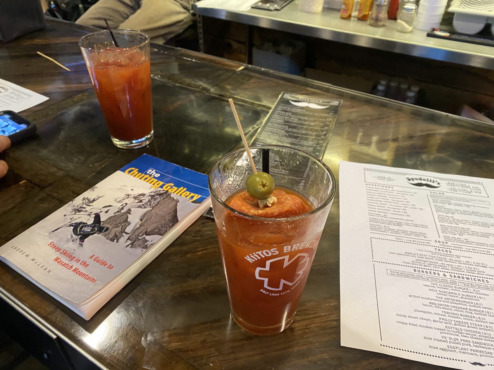
By 11:30 we were back to our cars, Landon went in to work, and Gage and I went to the bar for some Bloody Marys (shoutout Spedellis!).
Just another day in the Wasatch.
Recent Trip Reports:
- Trip Report: Mt. Dana, CA – “Dana Couloir”
- Trip Report: Mt. Dana, CA – “Solstice Couloir”
- Trip Report: Mt. Timpanogos, UT – “Grunge Couloir”
- Trip Report: Mt. Timpanogos, UT – “Cold Fusion Couloir”
- Trip Report: Snowbird, UT – “Pipeline”
- Trip Report: Mt. Superior, UT | “South Face”
- Trip Report: Little Cottonwood Canyon, UT – “Tanners Gulch”
- Trip Report: Nez Perce, WY – “The Sliver Couloir”
- Trip Report: Ruby Mountains, NV – “Terminal Cancer Couloir”
- Trip Report: Little Cottonwood Canyon, UT – The 3,200-Vertical-Foot “Y Couloir”
Forecast:
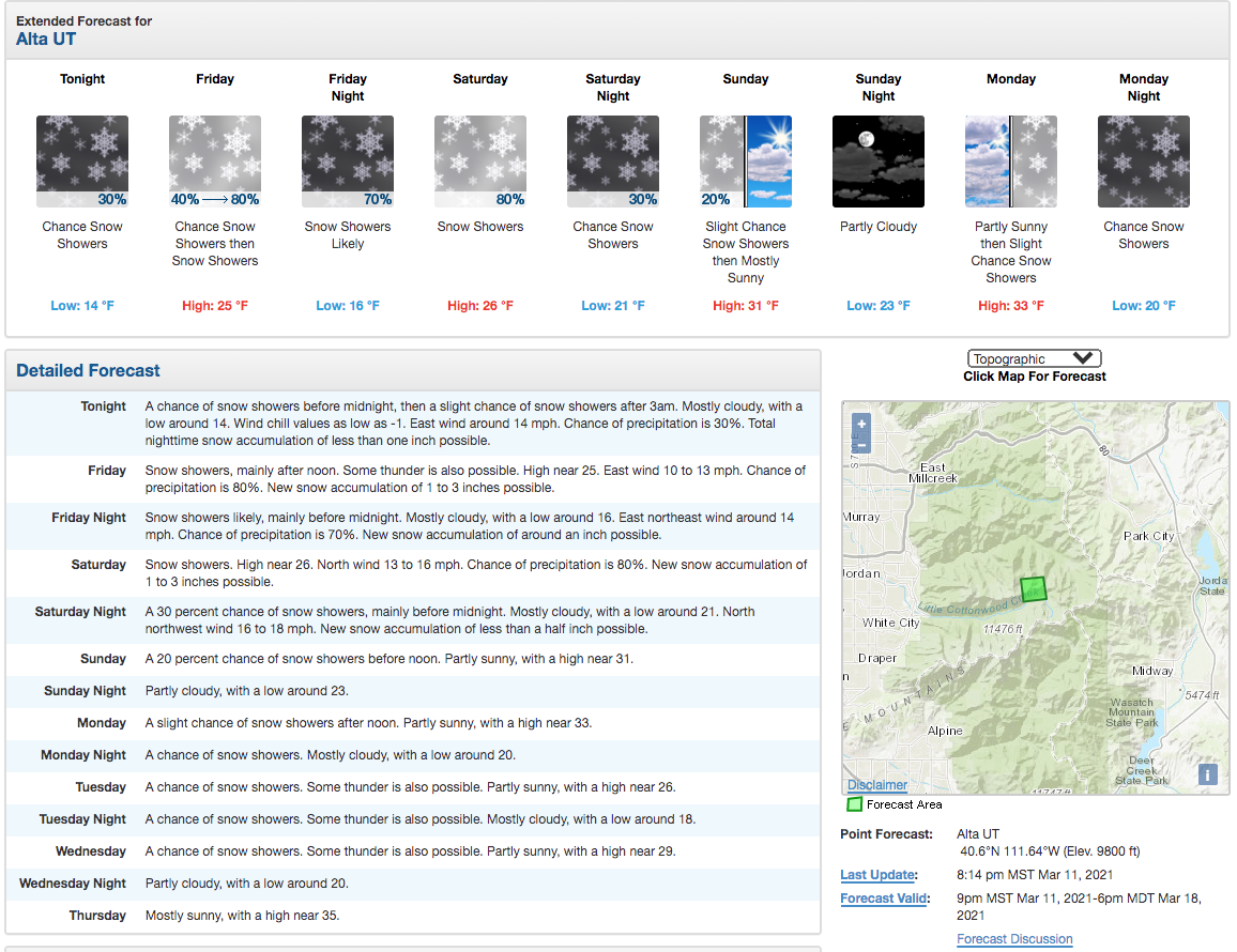
Photo Tour in Chronological Order:

