Today, May 18th 2020, I strolled up Snowbird ski resort in Utah to ski a chute called “Pipeline”.
I, like many others, have been staring at this chute for years, but it’s almost never open.
“One of the more gawked at and obvious lines at Snowbird and the Wasatch, for that matter.”
– Andrew McLean in “The Chuting Gallery“
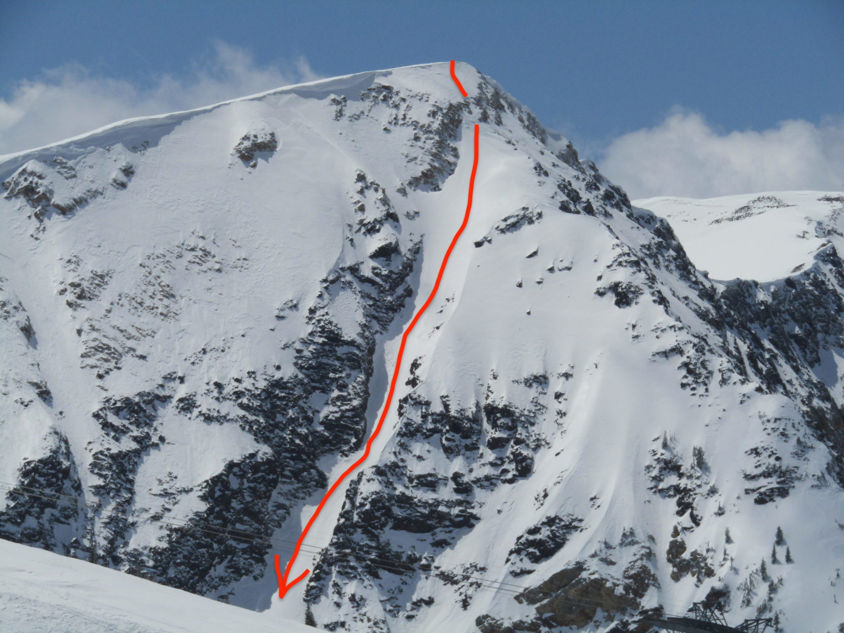
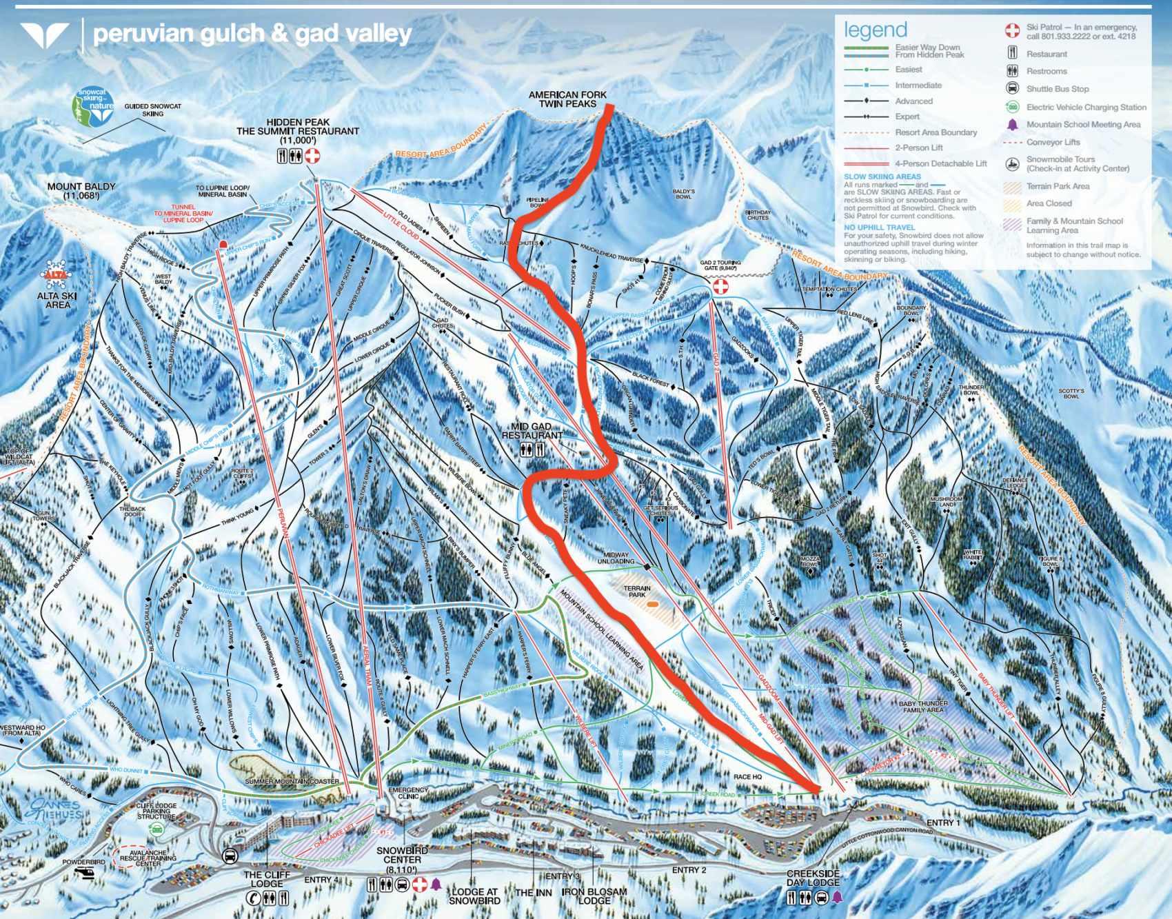
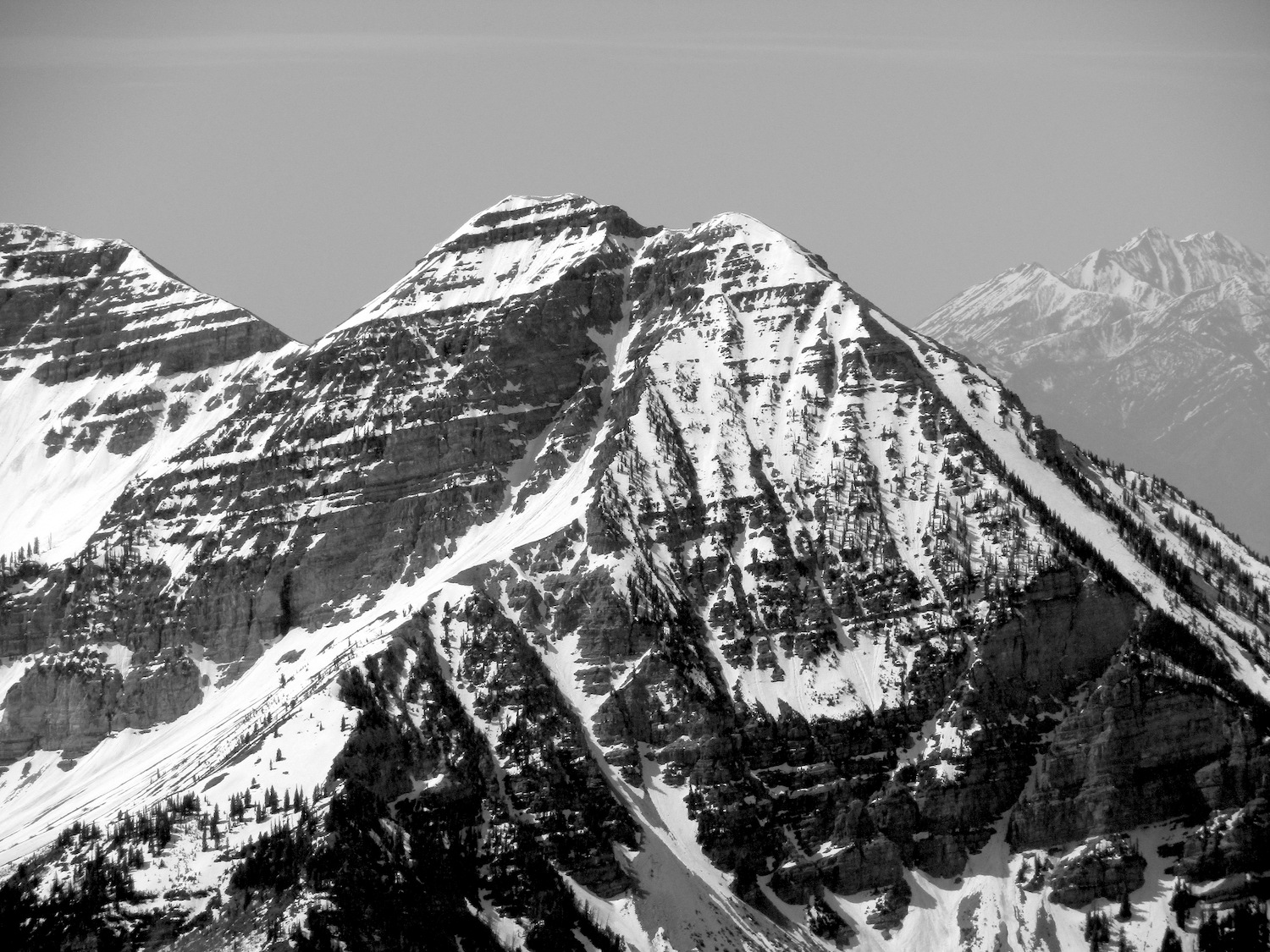
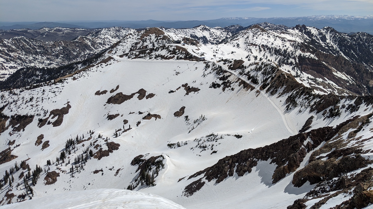
“Pipeline” is located off the top of 11,489′ Twin Peaks at Snowbird.
Pipeline Couloir – Snowbird, UT Details:
- Summit: 11,489′
- Vertical from car: 3,600′
- Vertical skied: 3,600′ (chute = 1,000′)
- Pitch: 42º
- Exposure: ENE
- Distance: 4.4-miles round trip
- Time from car to summit: 2 hrs 45 mins
- Car to car time: 3 hrs 30 mins
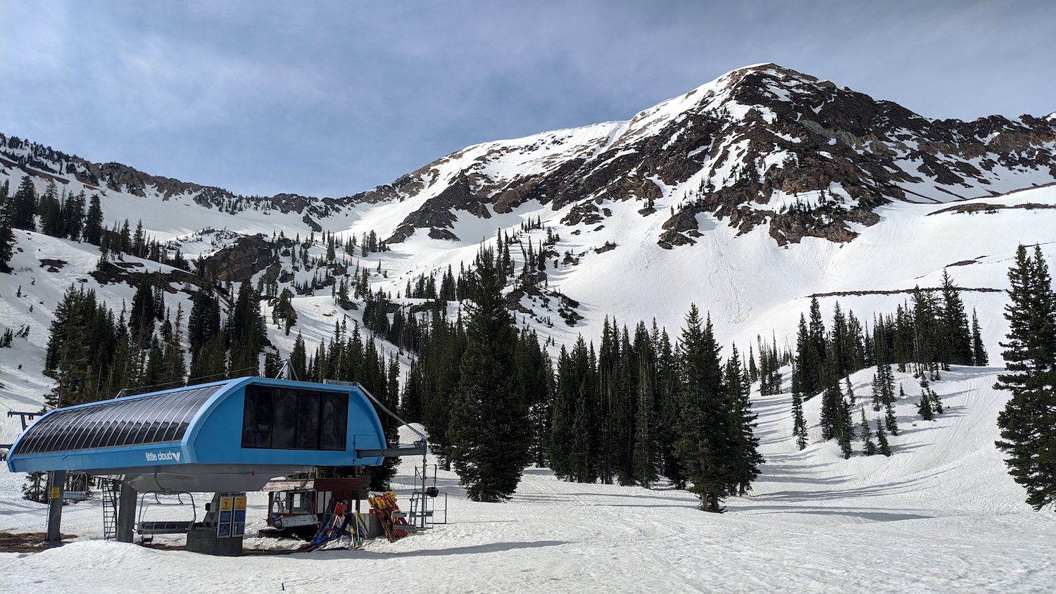
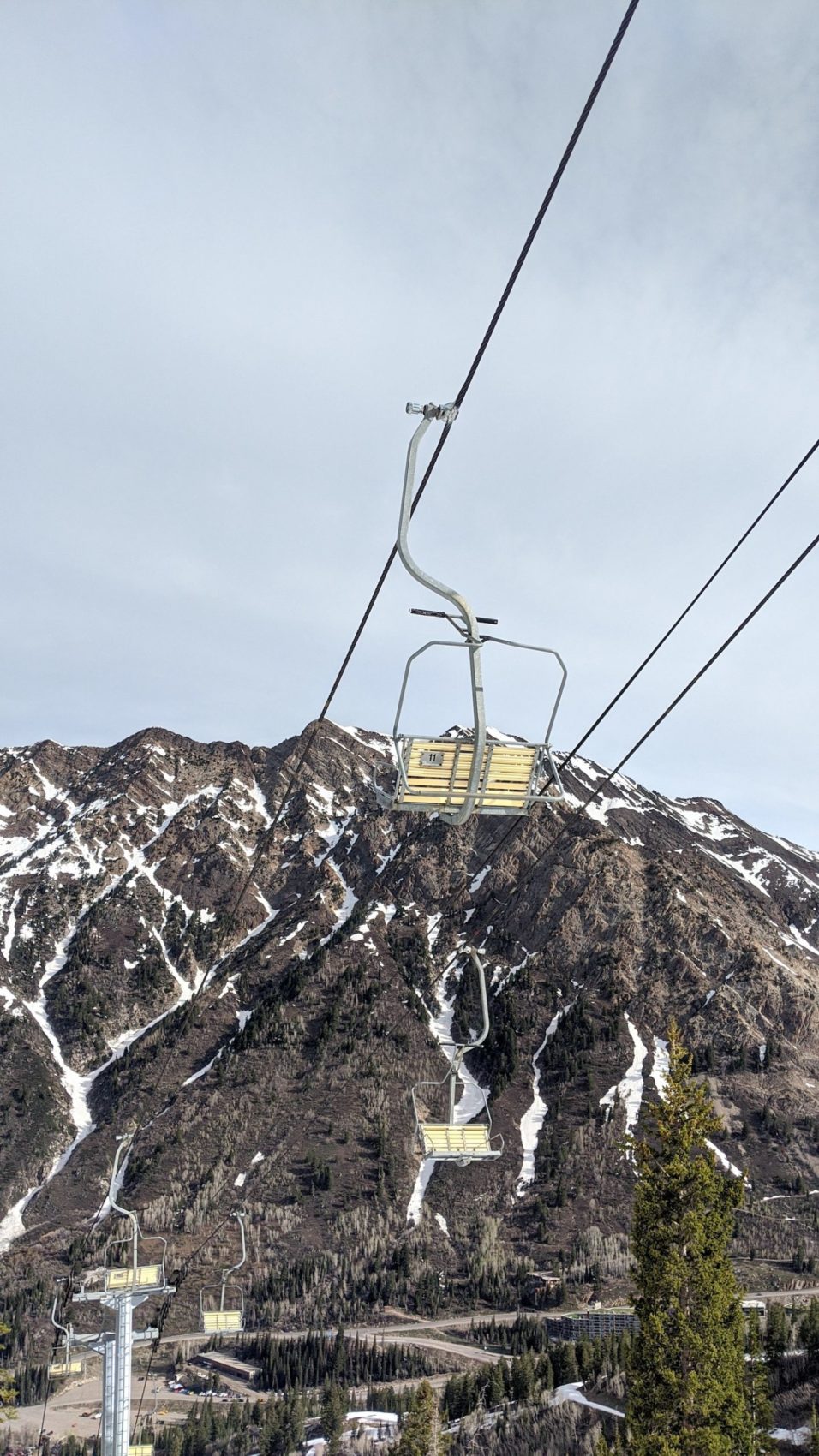
Right now, Snowbird is open to uphill traffic and you can ski whatever you want.
I started hiking at 8am at the bottom of the Gadzoom chair at Snowbird and it was already 60ºF.
I was a bit worried about the warm temps and lack of freezing overnight.
I hoped that if I hurried, it would be OK.
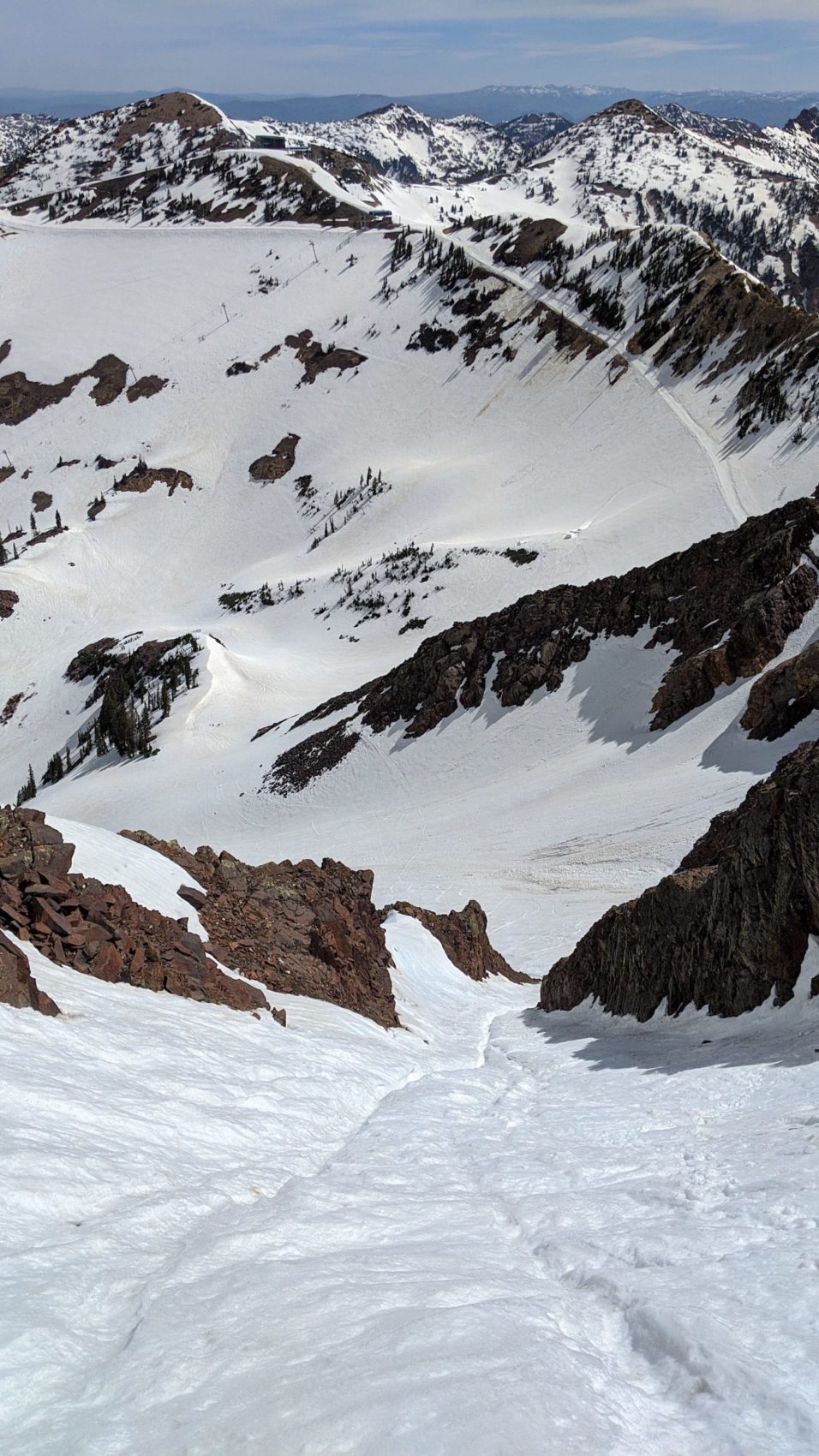
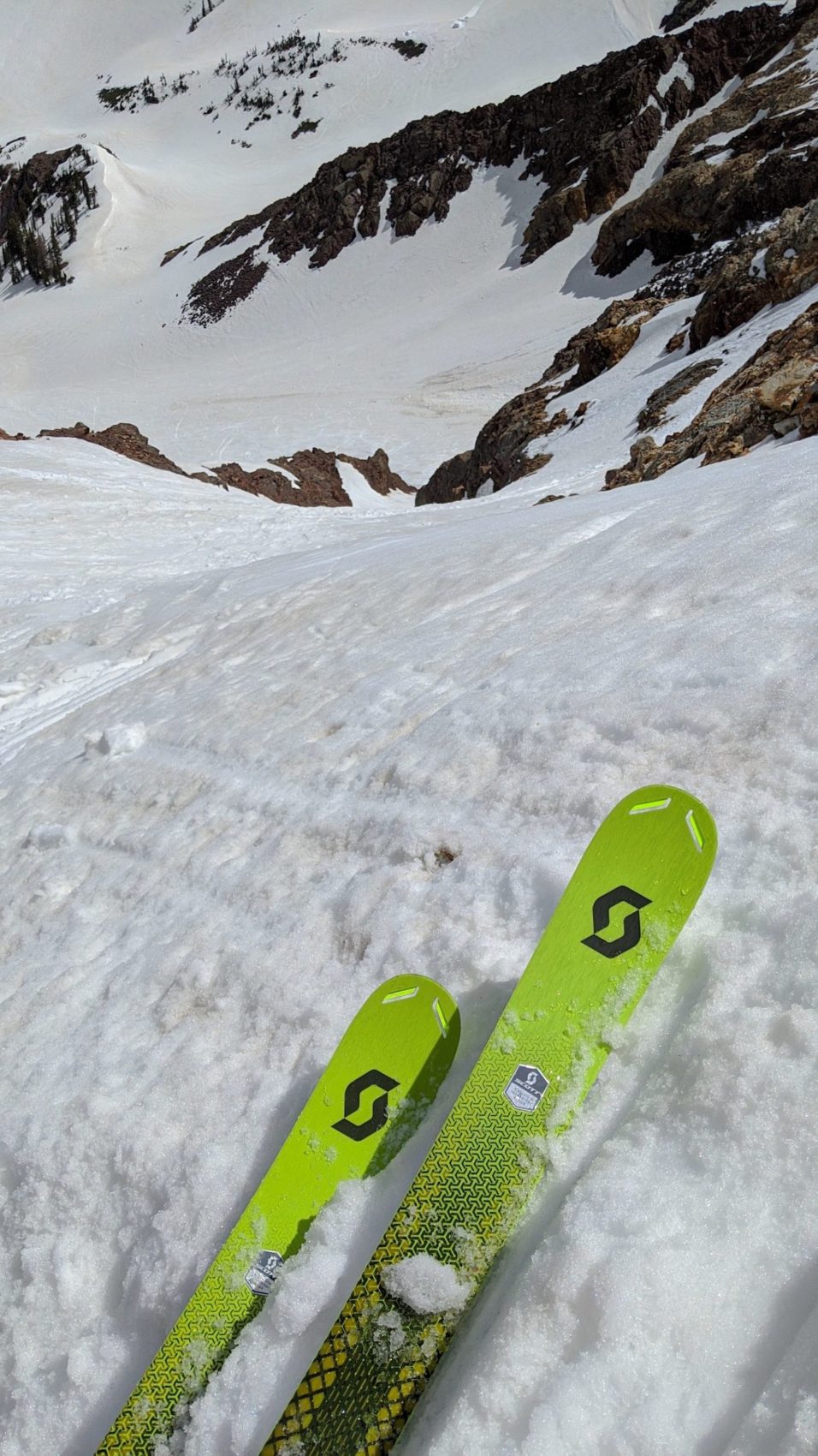
I moved uphill as fast as I could and reached the base of the chute after 2 hours and switched from skins to crampons and ski poles.
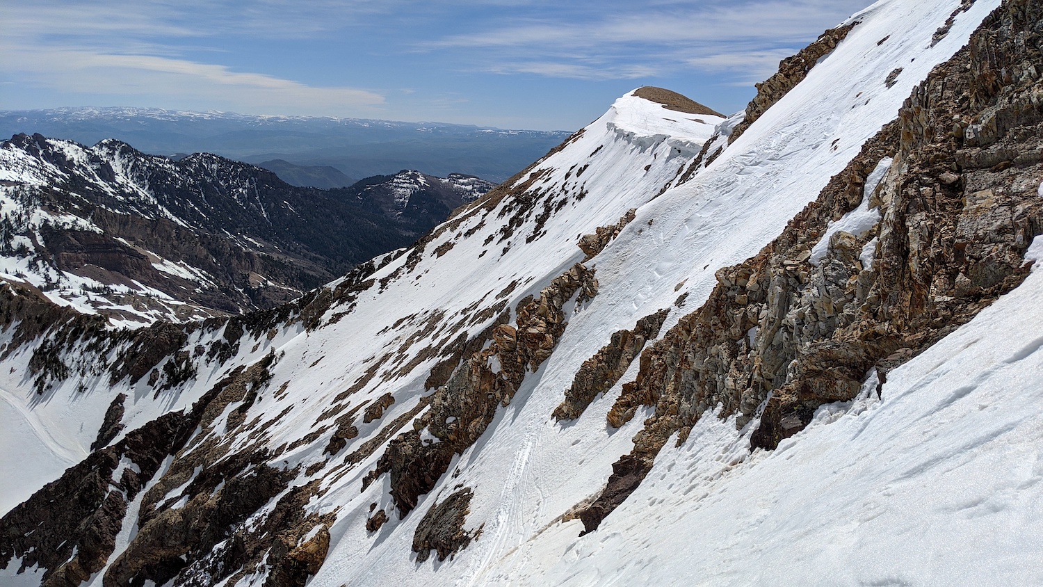
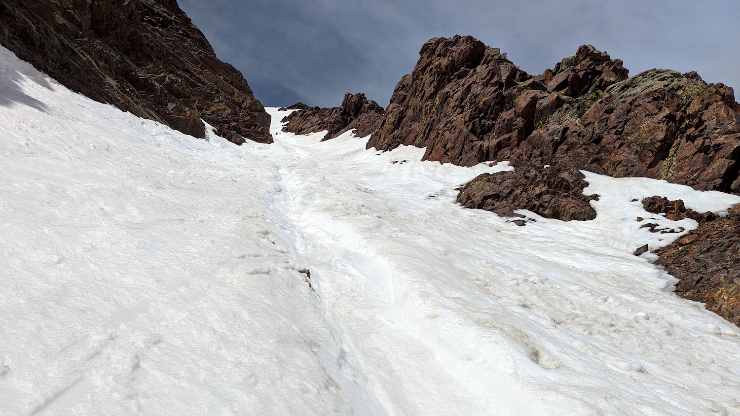
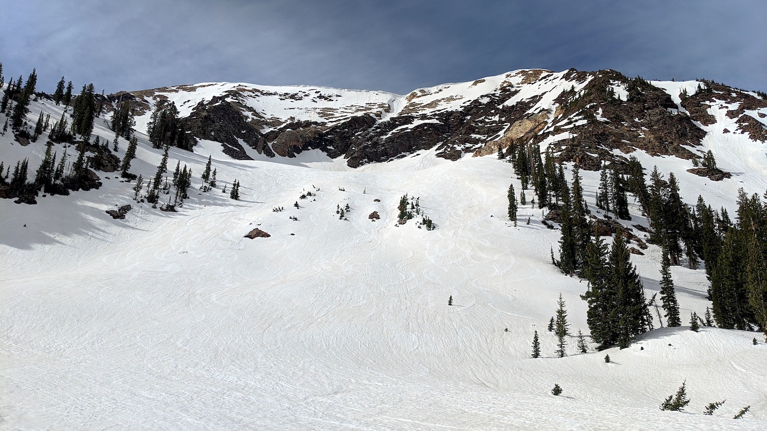
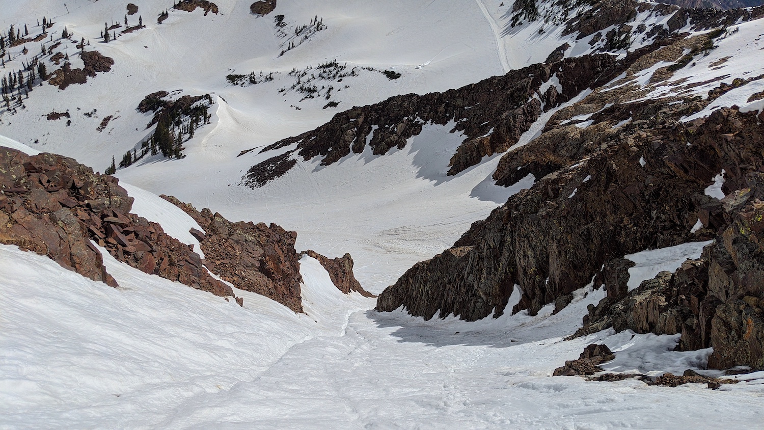
The snow was soft and honestly, the chute looked like shit…
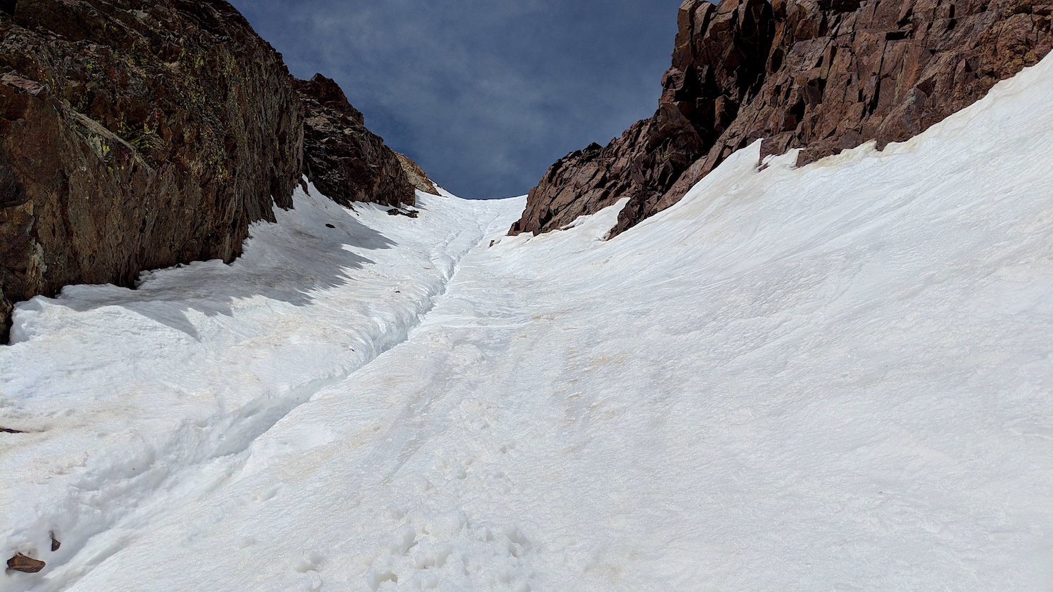
The snow was shin-deep every step in the chute and a moderate-sized runnel had formed right down the middle of the thing.
The heat of the past few days had cooked the chute pretty darn good.
Hiking up the chute, I was a bit worried about rockfall and there was a bit of evidence of small, scattered rockfall, but not one pebble came down during my 45-minute boot pack from the bottom of the couloir to the summit.
***NOTE: The Utah Backcountry Community has encouraged me to let you know that they do not advise booting straight-up “Pipeline” due to the danger of skiers/boarders/climbers kicking rocks down onto you as you boot up the couloir. Directions on how to hike to “Pipeline” via the recommended ridge route are below.
Near the top of the chute, the runnel forked into 3 smaller runnels that only added to the ugliness…
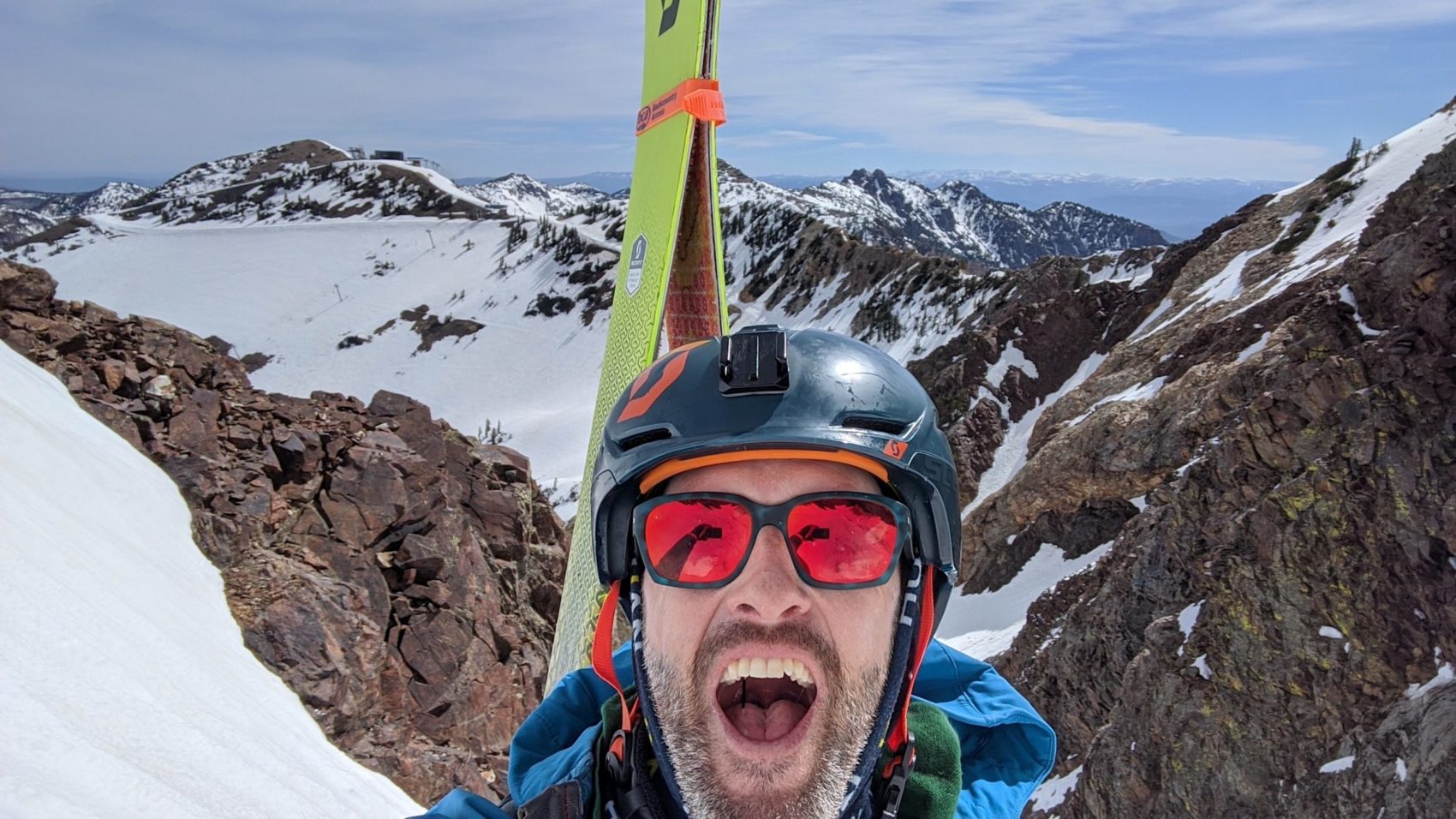
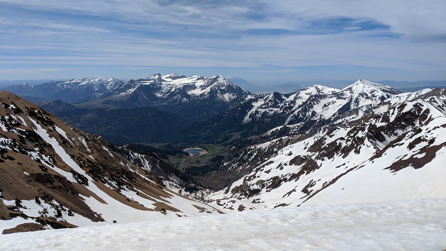
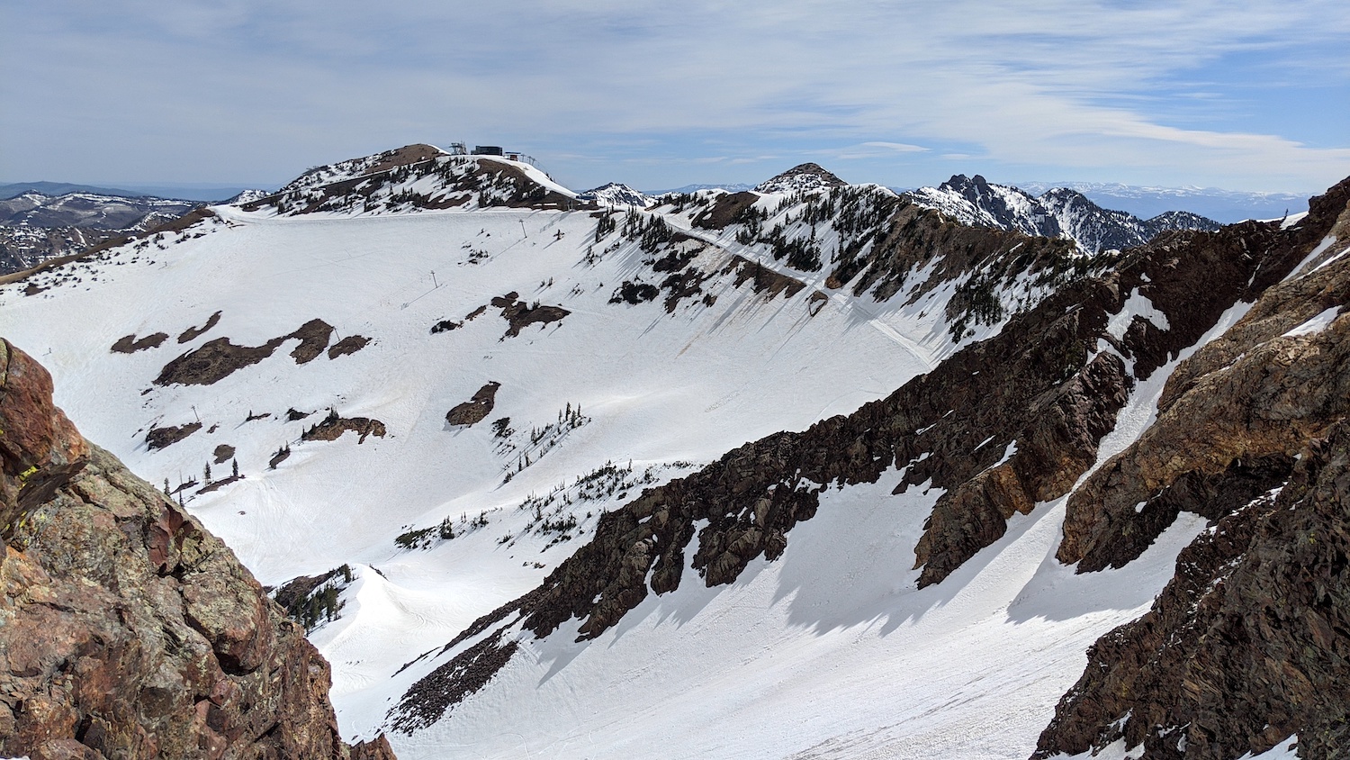
After reaching the top of the chute, I did the short (20 to 30-vertical-feet) class 3 rock scramble up to the summit, climbed up a short snowfield, tagged the top, took a few photos, skied the short summit snowfield, and scrambled back down the loose rocks back to the top of the chute.
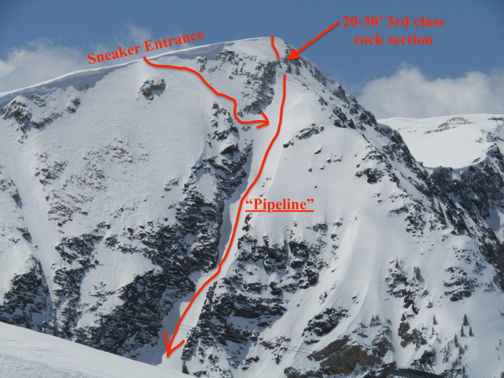
There is also the option of skiing via a sneaky ribbon of snow just east of the summit to get into “Pipeline”, but you lose a few turns at the top of the chute and you have to ski a steep no-fall zone above large cliffs (see photo and map below).
I have provided photos and a map of the “Sneaker Entrance” here for reference (photo above, map below).
I was the only person to use the direct approach to “Pipeline” today and when I got to the summit, 2 guys had arrived just before me via the ridgeline walk that is done by following Andrew’s directions below:
“…traverse The Road to Provo cat-track until you cme across a boot track heading up on your left by a control gage. Follow this to the top of Amerian Fork Twin (the first distinct summit” then traverse out a saddle and climb up the peak [Twin Peaks that holds “Pipeline”].
– Andrew McLean in “The Chuting Gallery“
A few other guys showed up shortly thereafter.
I decided I’d let as many people as possible go before me because I’d seen how bad a shape the chute was in and it could use some skier traffic to “groom” it a bit.
I told a few guys on top about my experience booting up the couloir in shin-deep muck and told them the snow was bad when I was on the summit.
Once I finally clipped into my skis it was about 11:15am.
I was pleasantly surprised when my first turn was in fun, surfy, drenched, corn snow.
That turn gave me confidence and I skied the chute as hard as I could and the snow was actually great.
I felt bad that I told those guys the snow was bad…
I truly thought the snow in the chute was gonna be terrible but it was a blast.
I think it helped a lot that 5 guys skied it before me and shaved off some of the gross snow that was on top – thanks, guys!
“The actual chute stays at an amazingly consitent angle and is wide enough for multiple lines and easy manuvering.”
– Andrew McLean in “The Chuting Gallery“
After I came out of the chute, the snow was a bit sticky and remained so to the car.
There was some more quality skiing just after the apron and then it was simply slowly, stickily cruising groomers and pole pushing through flat spots down the “Bassackwards” run back to the car at the bottom of the Gadzoom lift.
I was back at the car by 11:30am and feeling great.
“Pipeline” was a truly splendid experience and a line I’d been wanting to ski for years and years.
Thanks, Snowbird!
May/June 2020 Trip Reports:
- Trip Report: Tickle Mary’s Nipple, WY — Why Not?
- Trip Report: Bloody Mountain, CA – “Bloody Couloir”
- Trip Report: Sailing from San Francisco, CA to Angel Island
- Trip Report: Mt. Dana, CA – “Dana Couloir”
- Trip Report: Mt. Dana, CA – “Solstice Couloir”
- Trip Report: Mt. Timpanogos, UT – “Grunge Couloir”
- Trip Report: Mt. Timpanogos, UT – “Cold Fusion Couloir”
- Trip Report: Snowbird, UT – “Pipeline”
- Trip Report: Mt. Superior, UT | “South Face”
- Trip Report: Little Cottonwood Canyon, UT – “Tanners Gulch”
- Trip Report: Antelope Island/Great Salt Lake , UT | The Baja California of Utah… But With Buffalos
- Alta, UT Report: Little Chute Absolutely Firing in Spring Splashiness!
Photo Tour in Chronological Order:
Way to bag it, Miles! Unreal round-trip time. You didn’t comment on whether the runnel was running so maybe it wasn’t quite hot enough. Sometimes when we ski Pipeline this time of year it runs spontaneously. If it’s running faster than your turns, it adds an element of trickiness to the experience. 😉
Great photos!