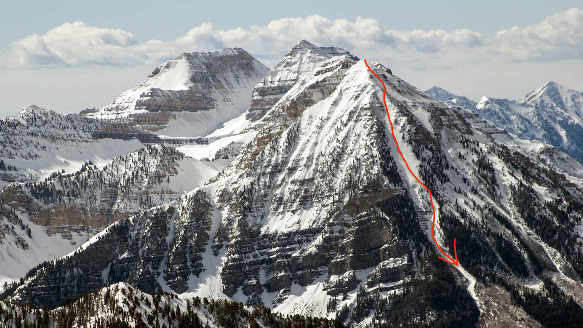
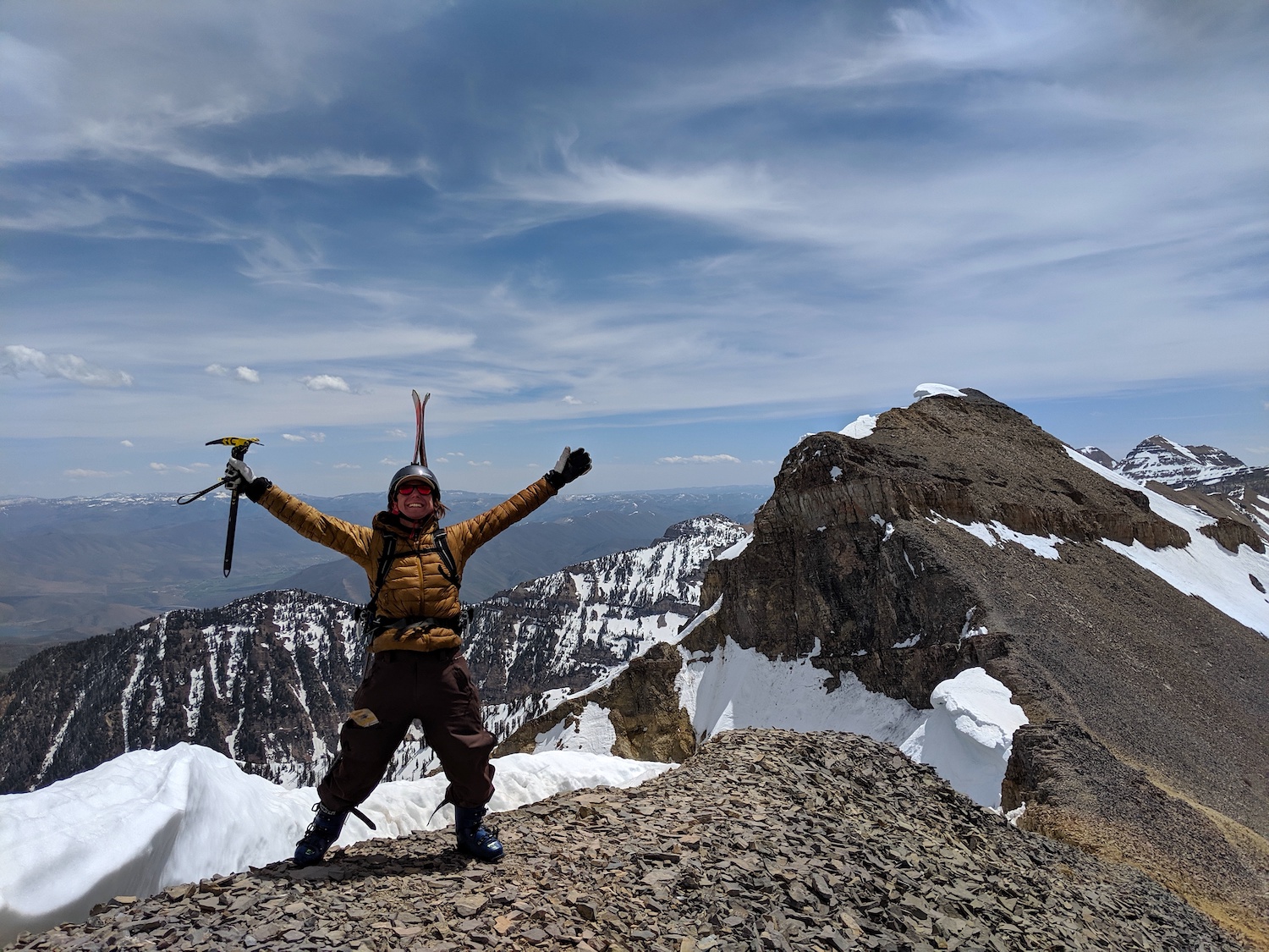
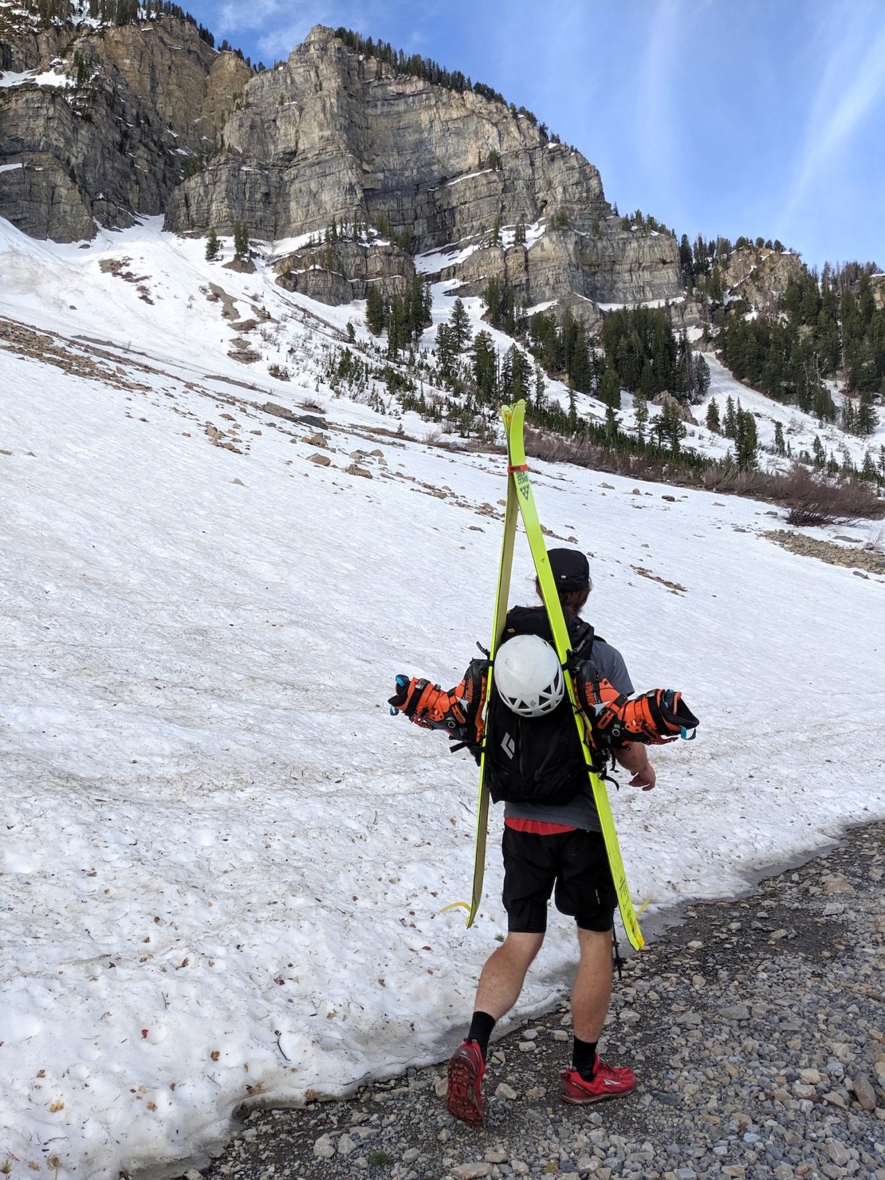
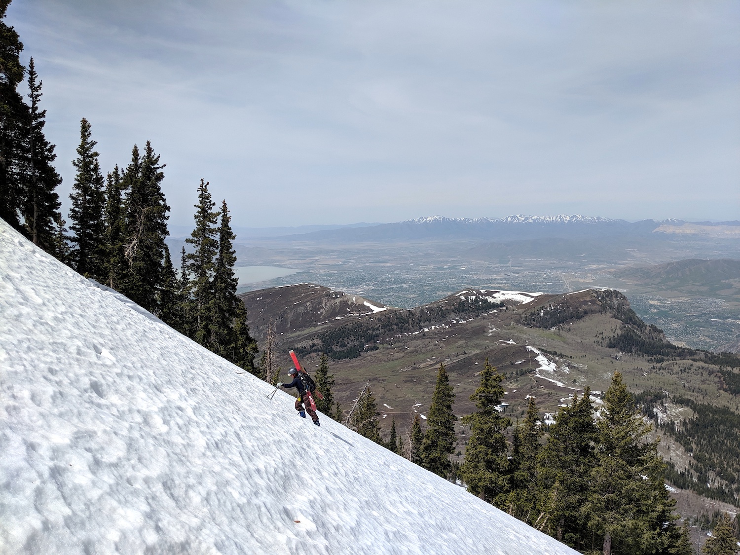
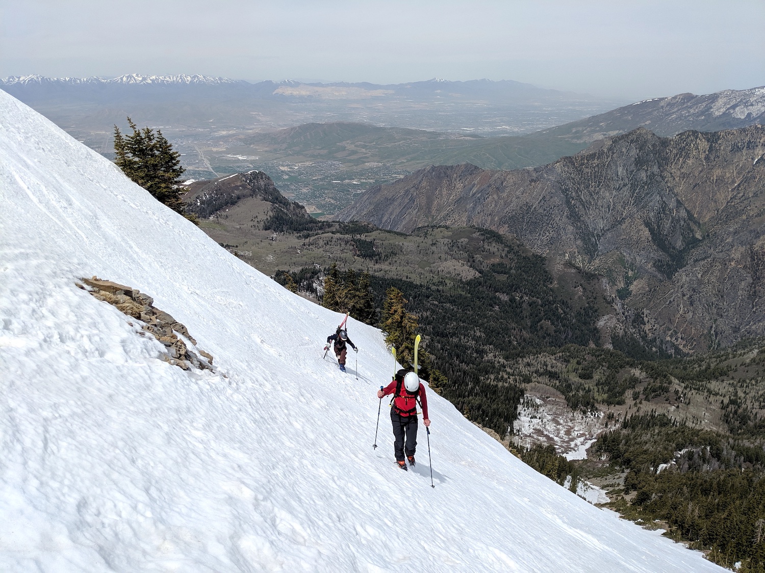
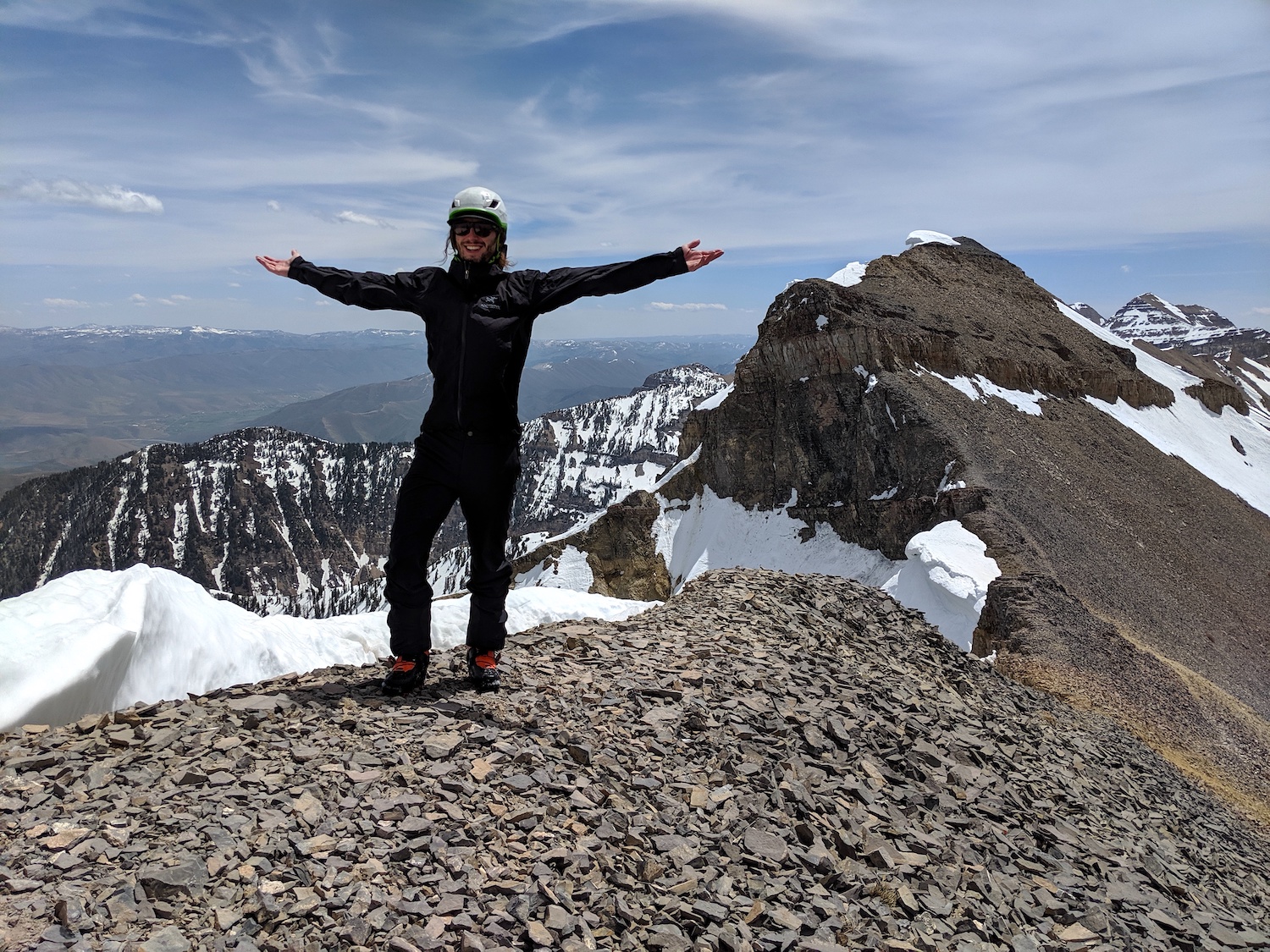
Yesterday, May 12th 2020, Martin, Ben, & I walked up Mt. Timpanogos in the Wasatch Mountains of Utah to ski a line called “Cold Fusion Couloir” that is one of the “50 Classic Ski Descents of North America“.
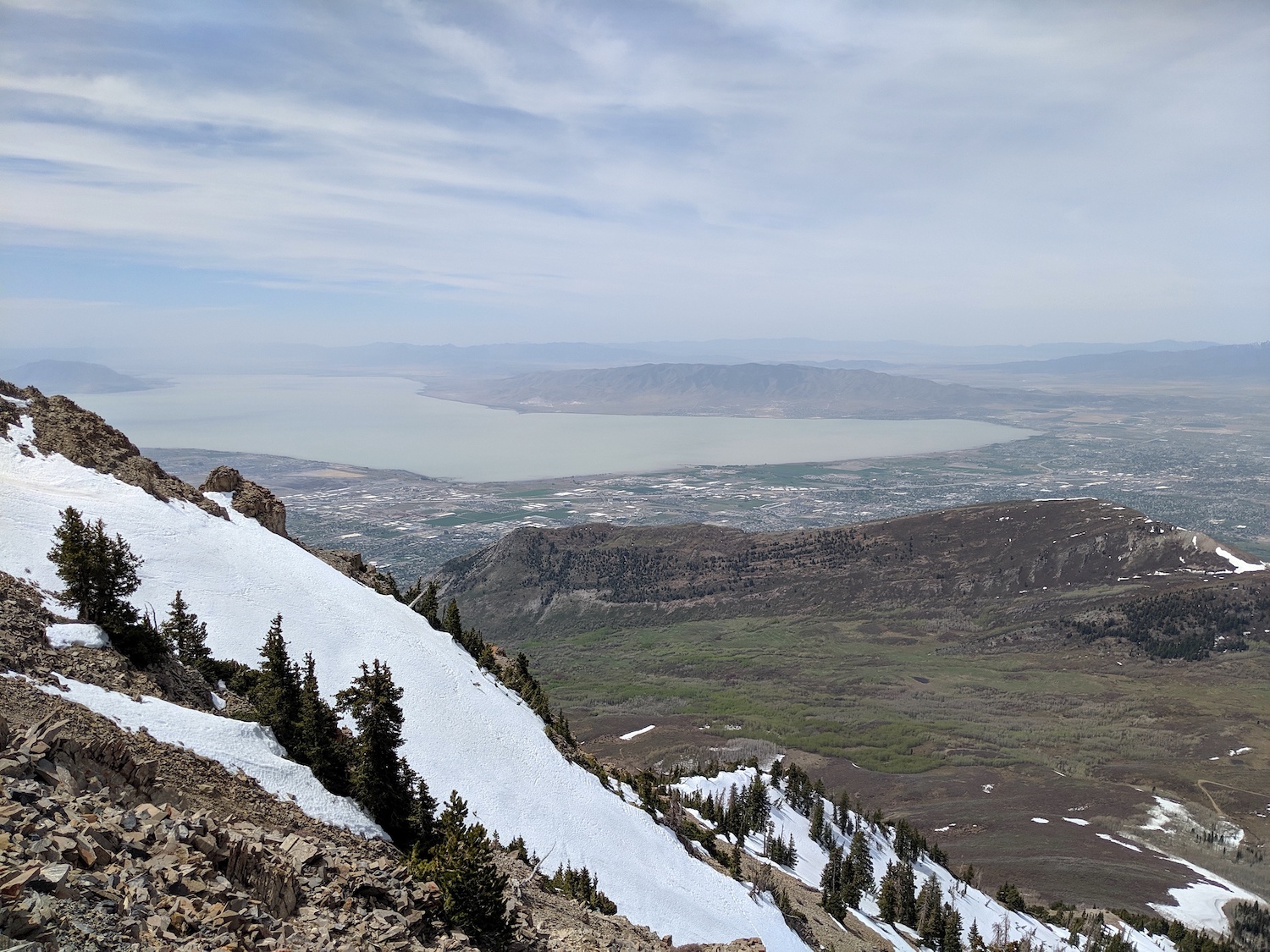
We climbed up the furthest north peak of the Mt. Timpanogos massif that tops out at 11,383′ and dropped directly into Cold Fusion Couloir which faces Northwest.
According to “50 Classic Ski Descents of North America”, the “Cold Fusion Couloir” is 3,030-vertical-feet and 35-40º steep.
Cold Fusion Couloir – Mt. Timpanogos, UT Details:
- Summit: 11,383′
- Vertical from car: 4,500′
- Vertical skied: 3,000′
- Pitch: 35-40º
- Distance: 14.5-miles round trip
- Time from car to summit: 5 hrs 45 mins
- Car to car time: 9 hrs 30 mins
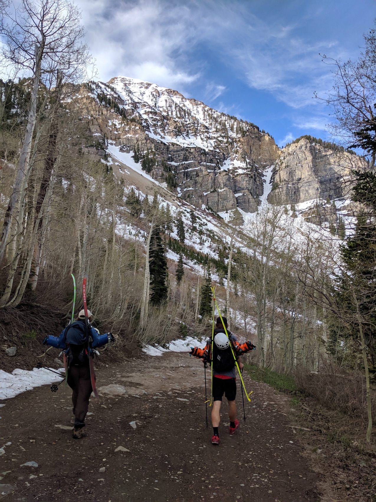
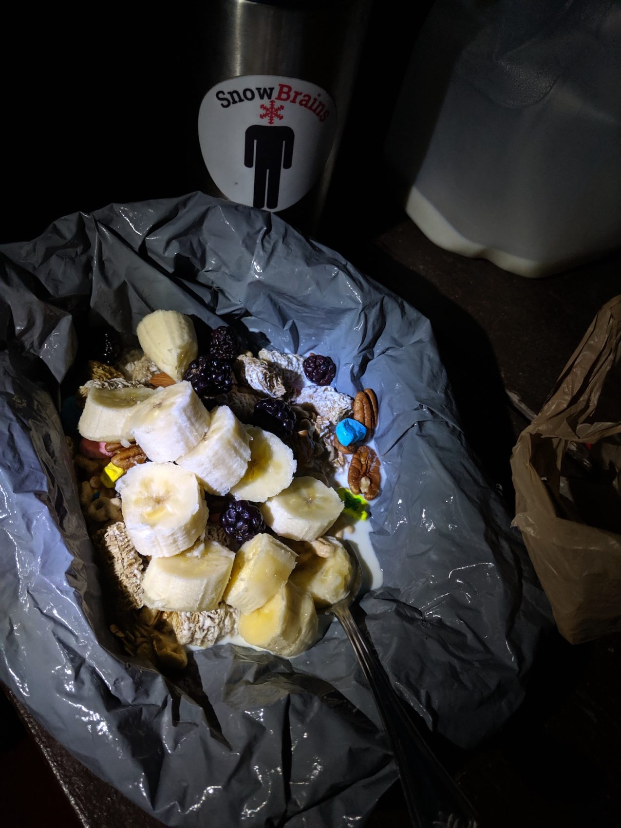
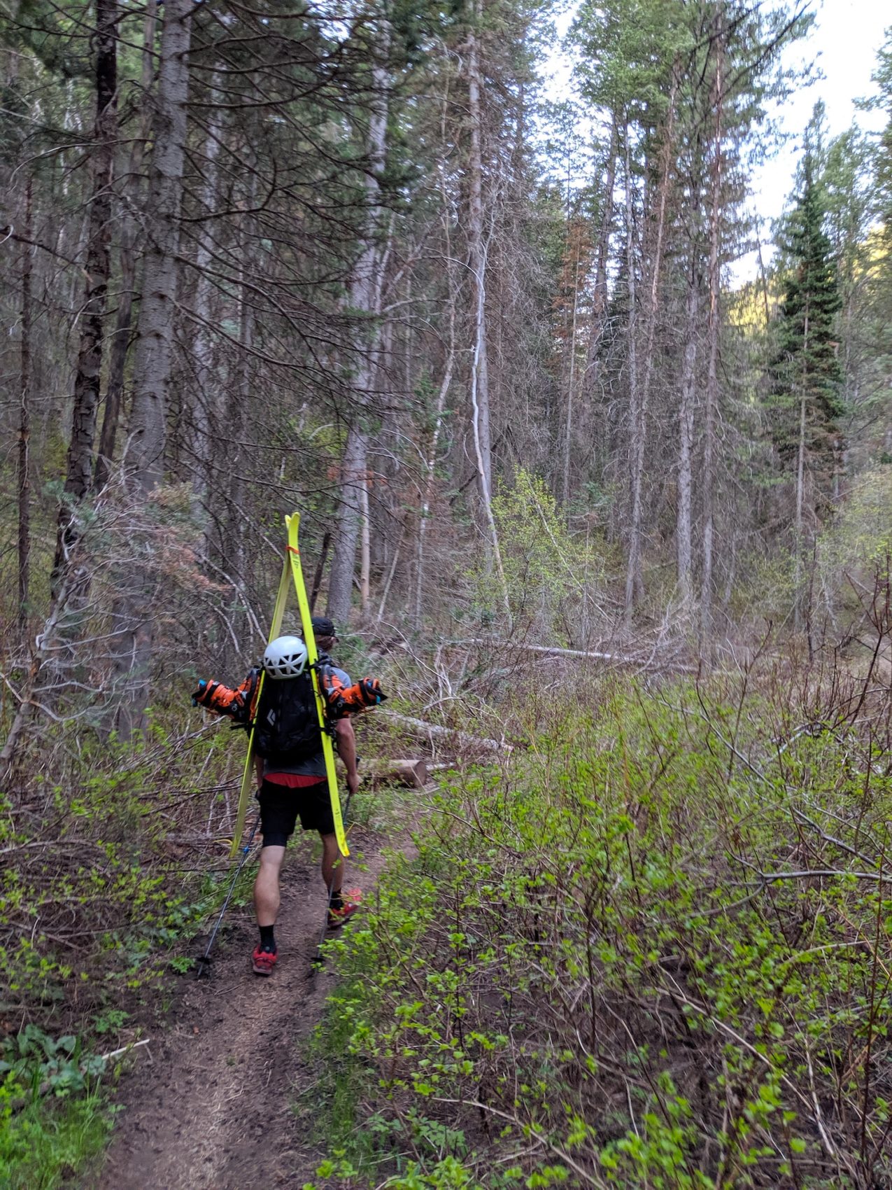
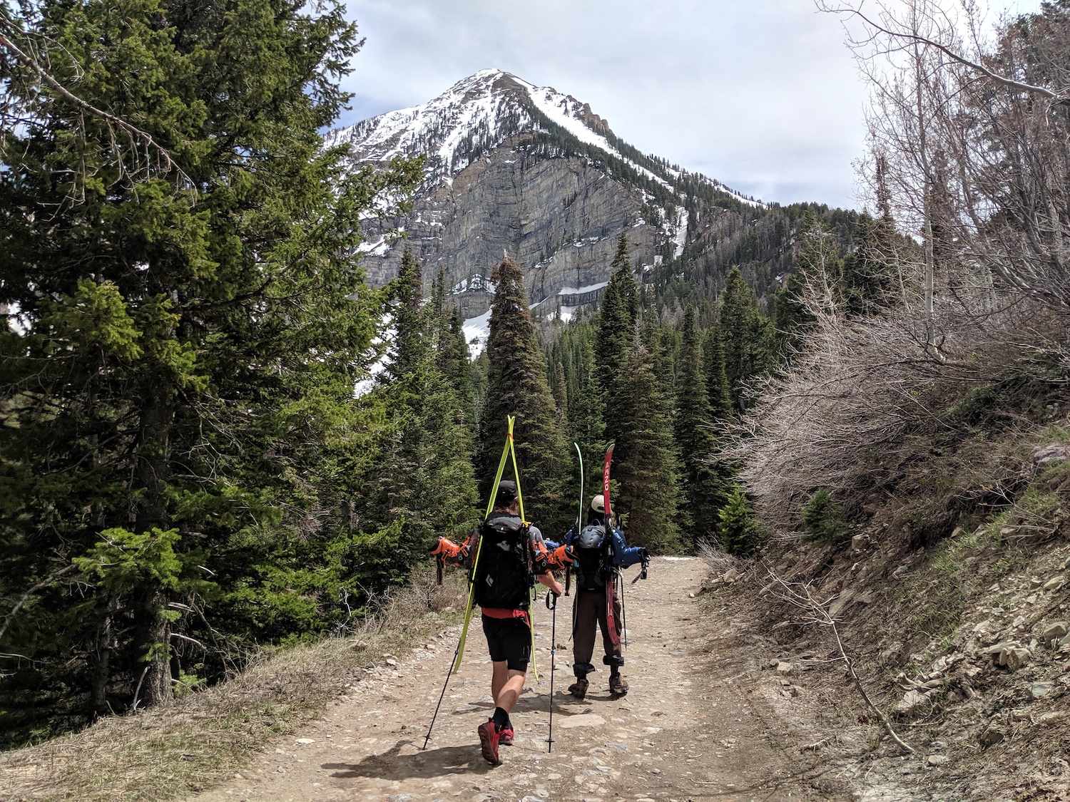
We started hiking from the Mutual Dell campground in the American Fork Canyon at 6:45am.
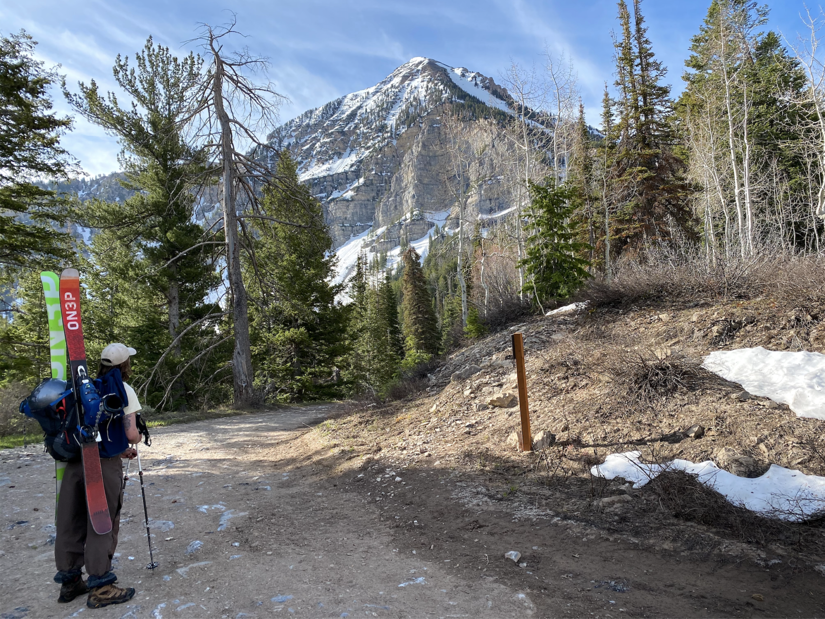
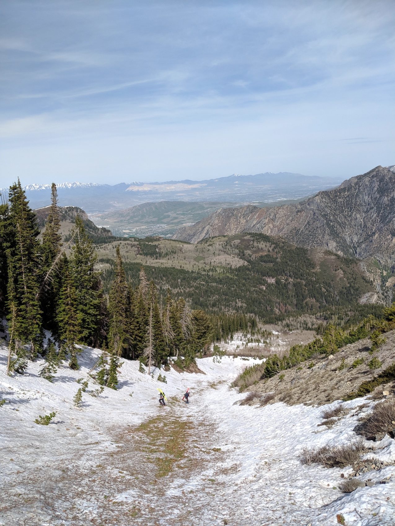
From the campground, you walk up the Bear Canyon Trail for about 1.9-miles and 1,400-vertical-feet until you hit a dirt road (Timpooneke Road) and you follow that west for about 4-miles until you arrive beneath the very obvious Cold Fusion Couloir.
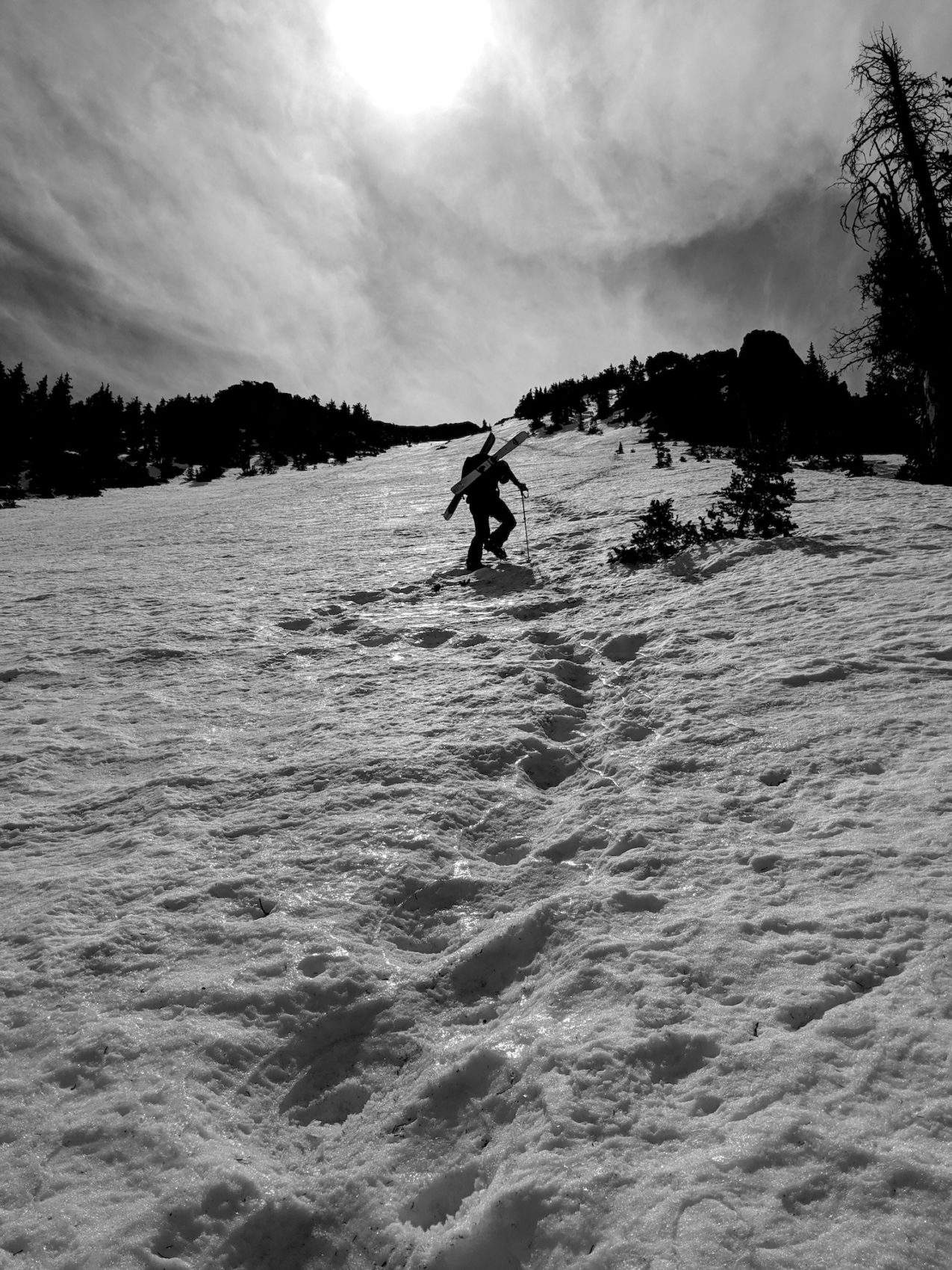
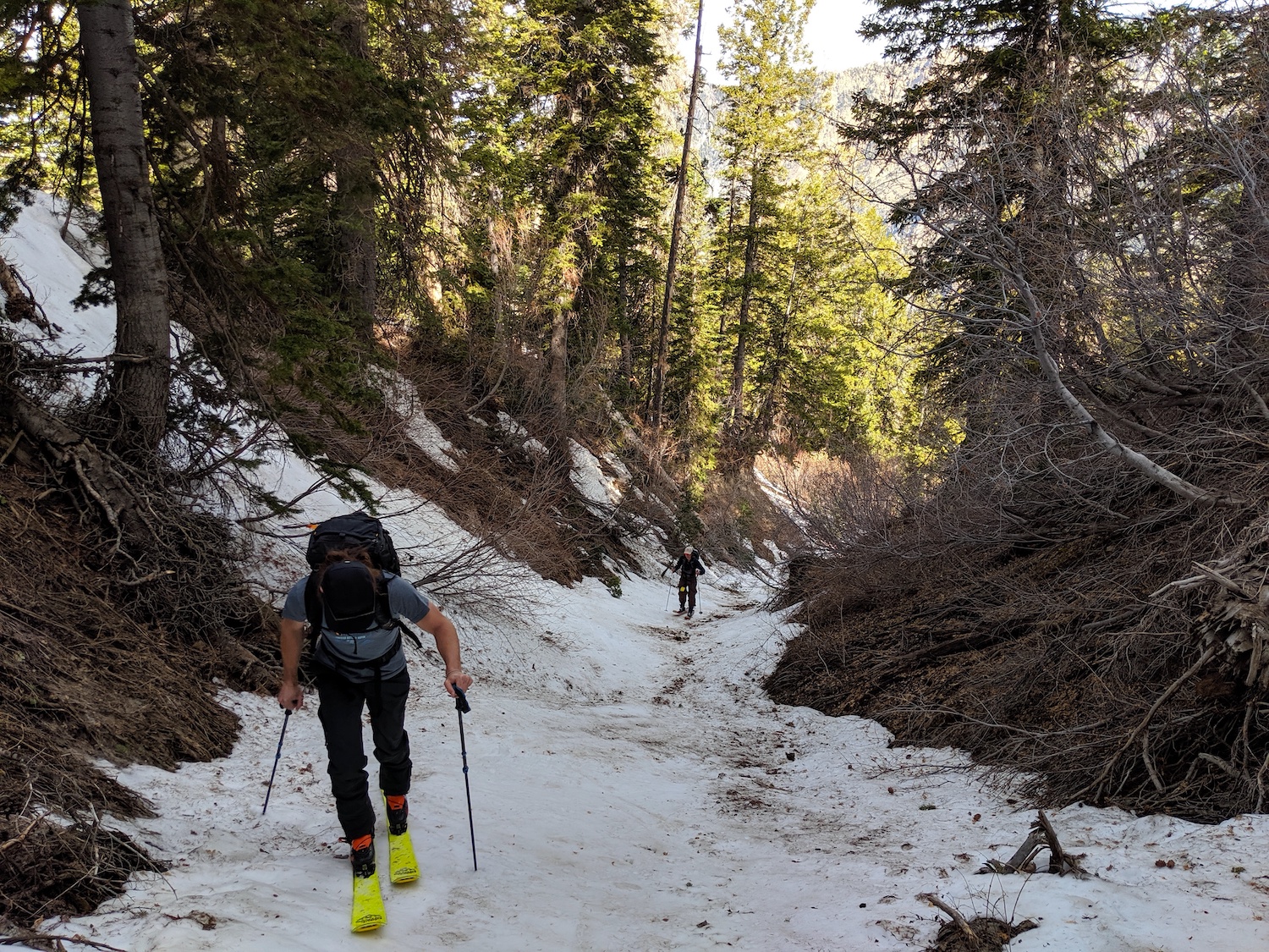
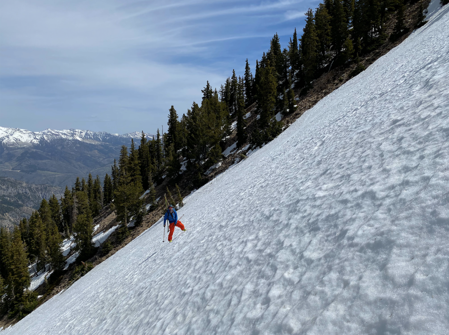
We hiked up a little gully filled with snow and that snow came right to the road.
Finding this little gully was the crux of the navigating of this climb and you’ll know that you’ve gone too far if the pine forest on the uphill side of the road changes to all aspen trees.
If you hit those aspen trees, turn around, go back, and head up the first little gully you see.
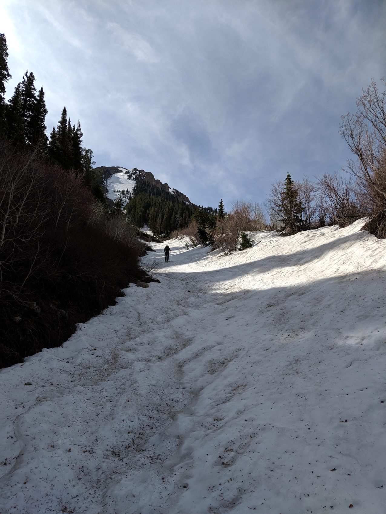
The little gully gets wider and wider and wider until it becomes an avalanche gully that is the base of the Cold Fusion Couloir.
It’s all very obvious and simple route-finding above the road.
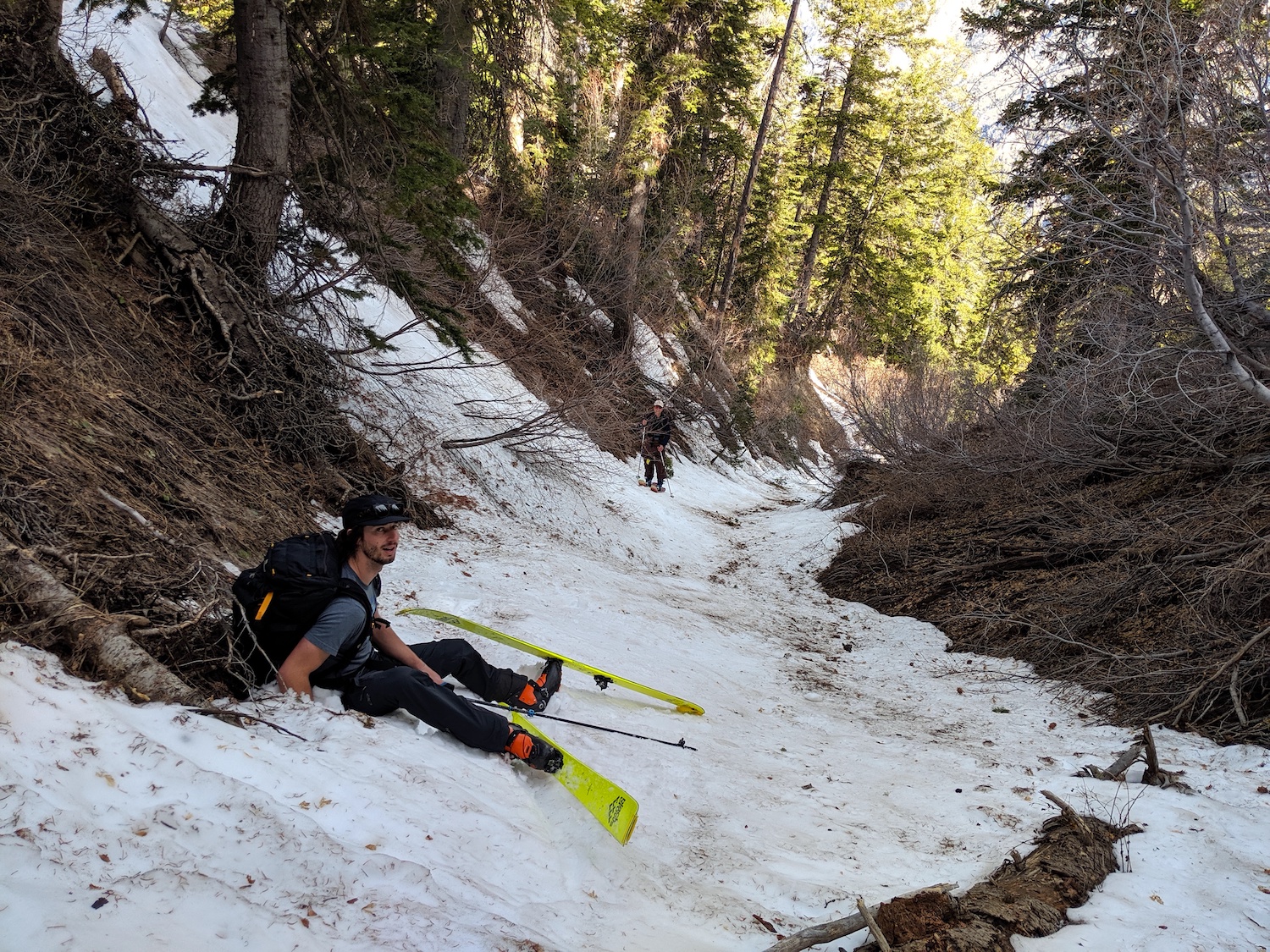
We switched from shorts and sneakers to ski boots and skins at the junction of the little gully and the road and switched to boot crampons after only about 20 minutes of skiing.
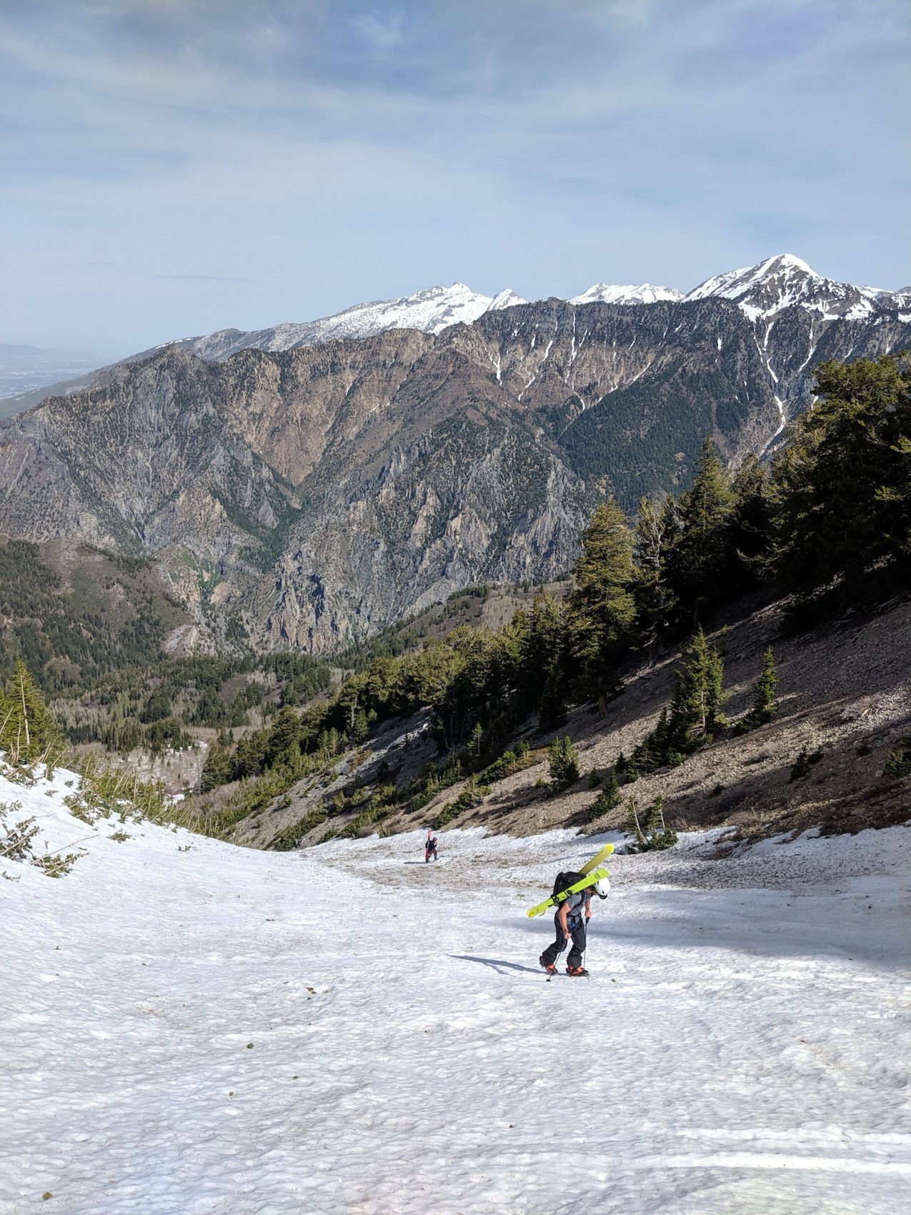
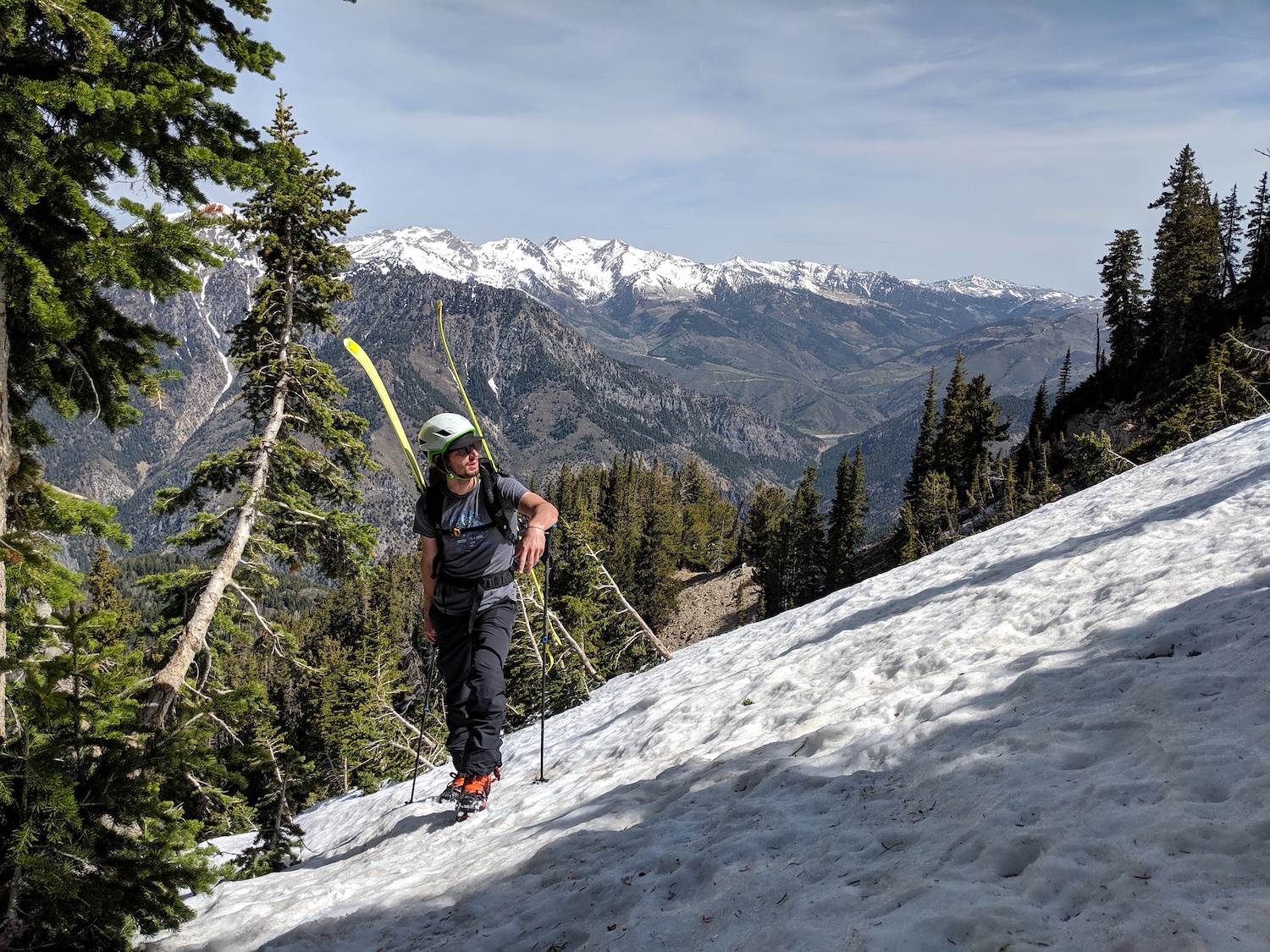
From there it was crampons and ski poles to the summit in firm, but slowly softening snow.
The climb up the gully was straightforward and steep.
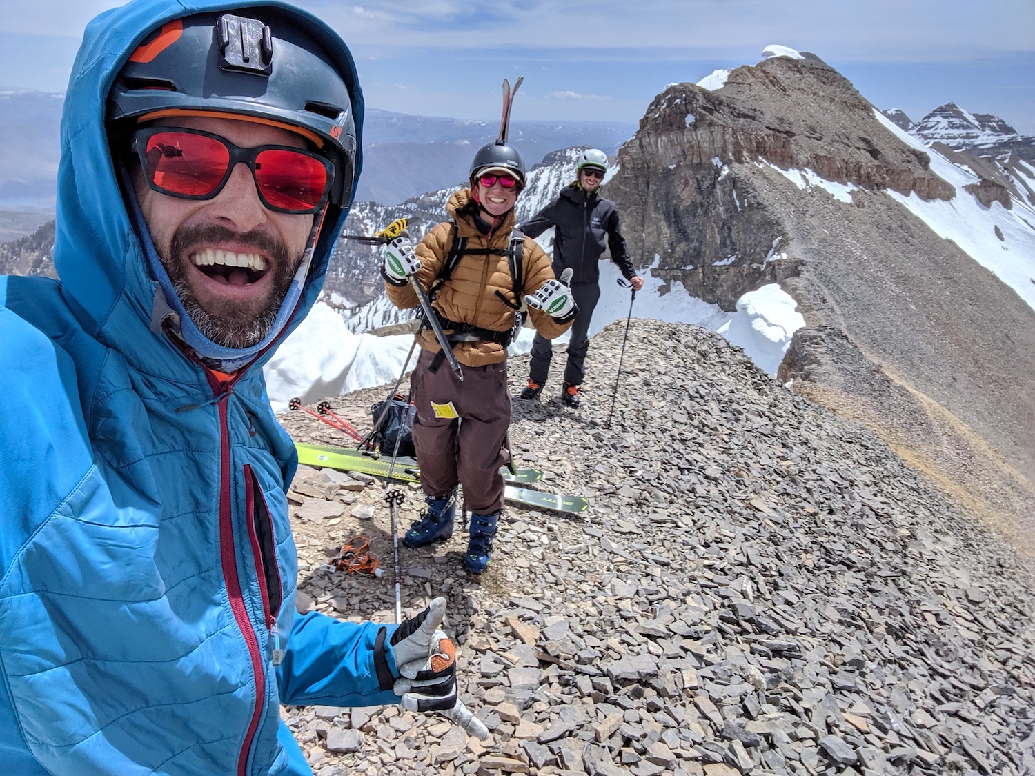
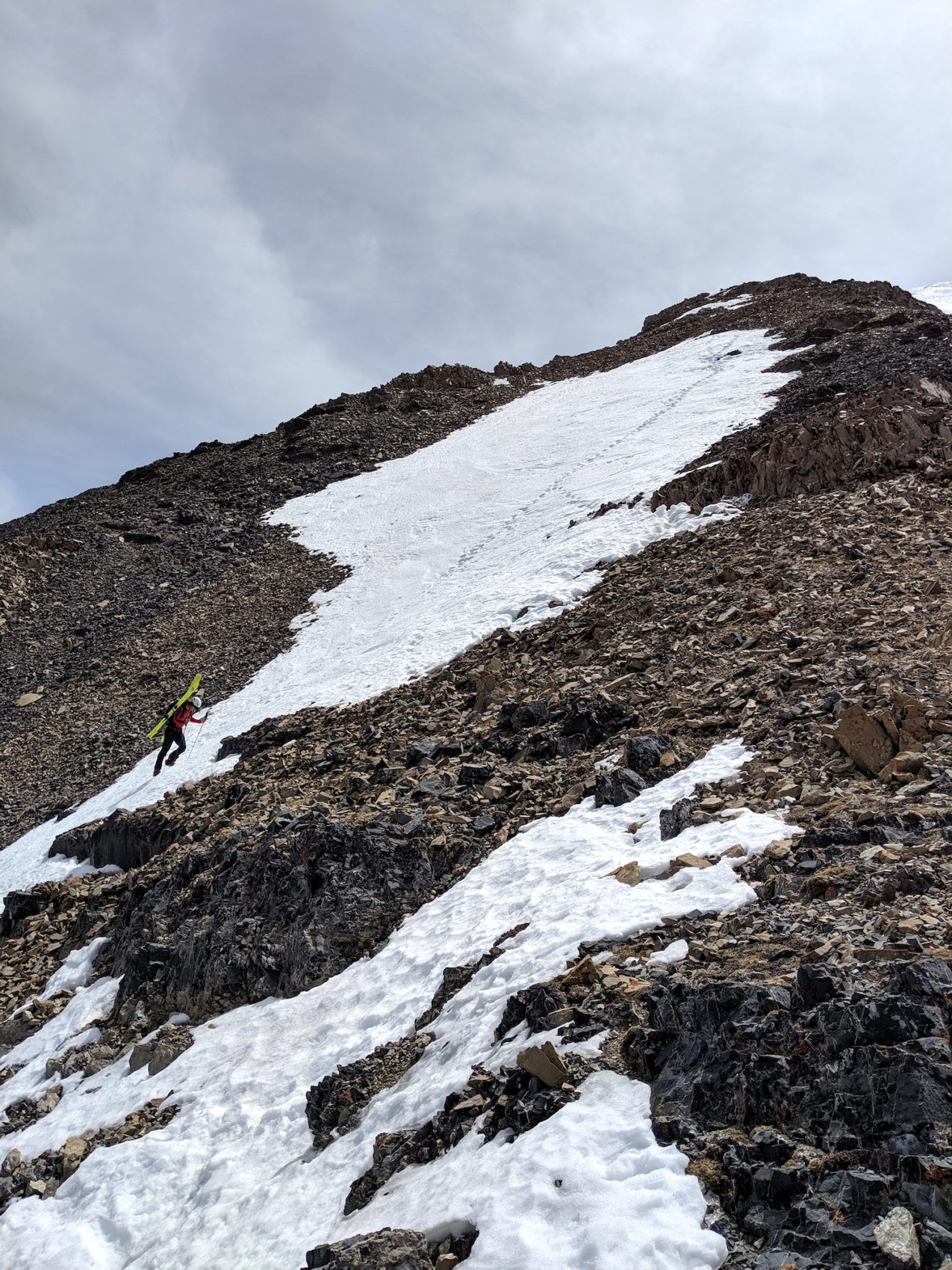
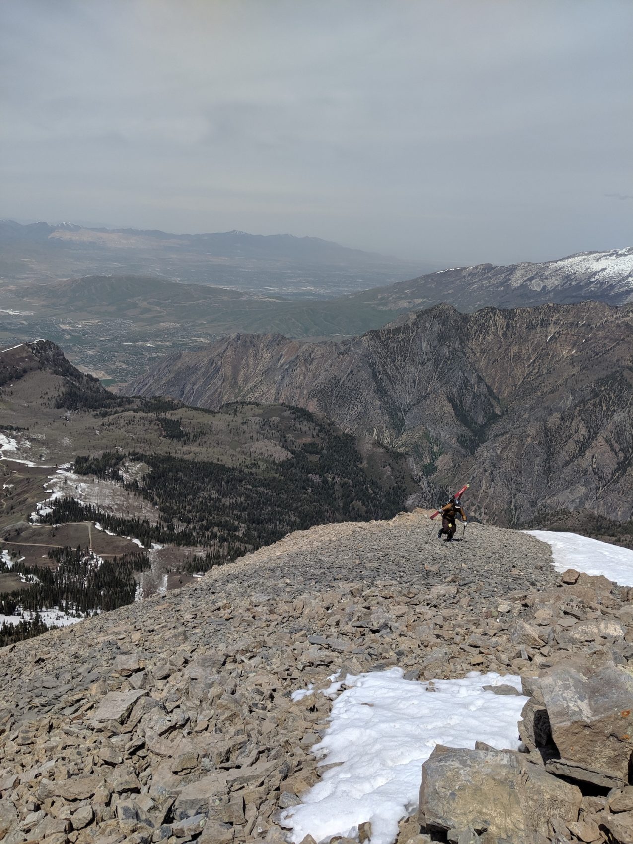
There is a little subpeak just before the 11,383′ summit where the snow stops for a short bit of scree before continuing again to the summit.
Beware of the enormous hanging cornices here.
It’s safest to stay on the rock once on the ridge.
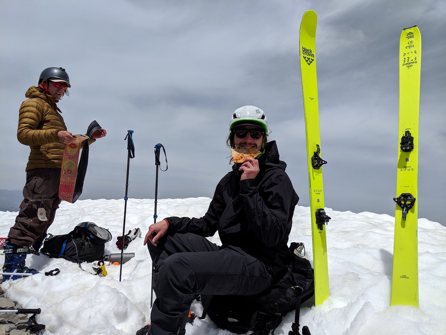
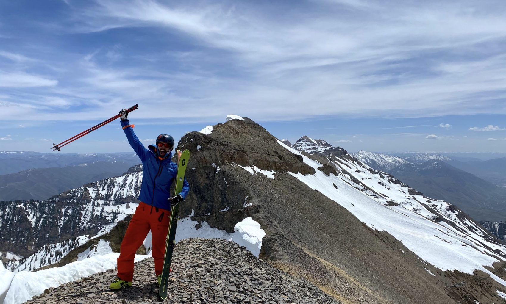
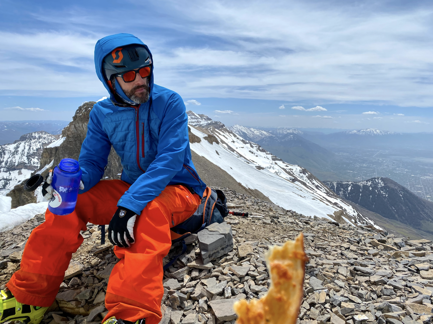
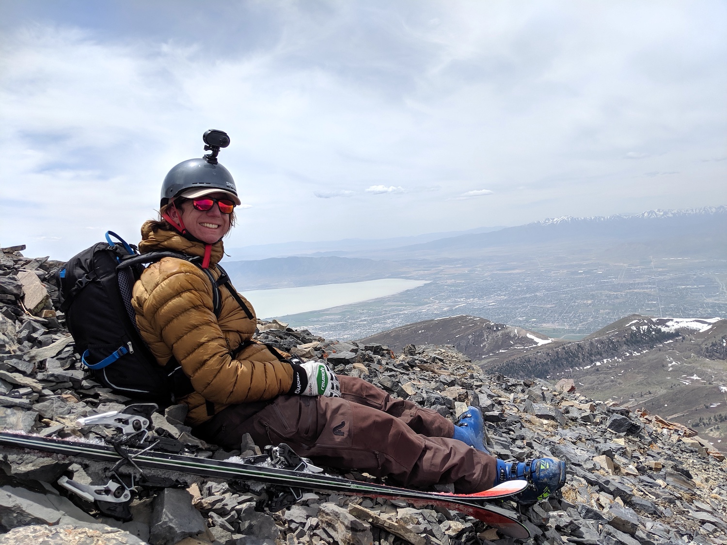
We summited at about 12:30pm (5 hr 45 min climb) and chilled out on top an hour or so letting the snow soften up a bit more before dropping in.
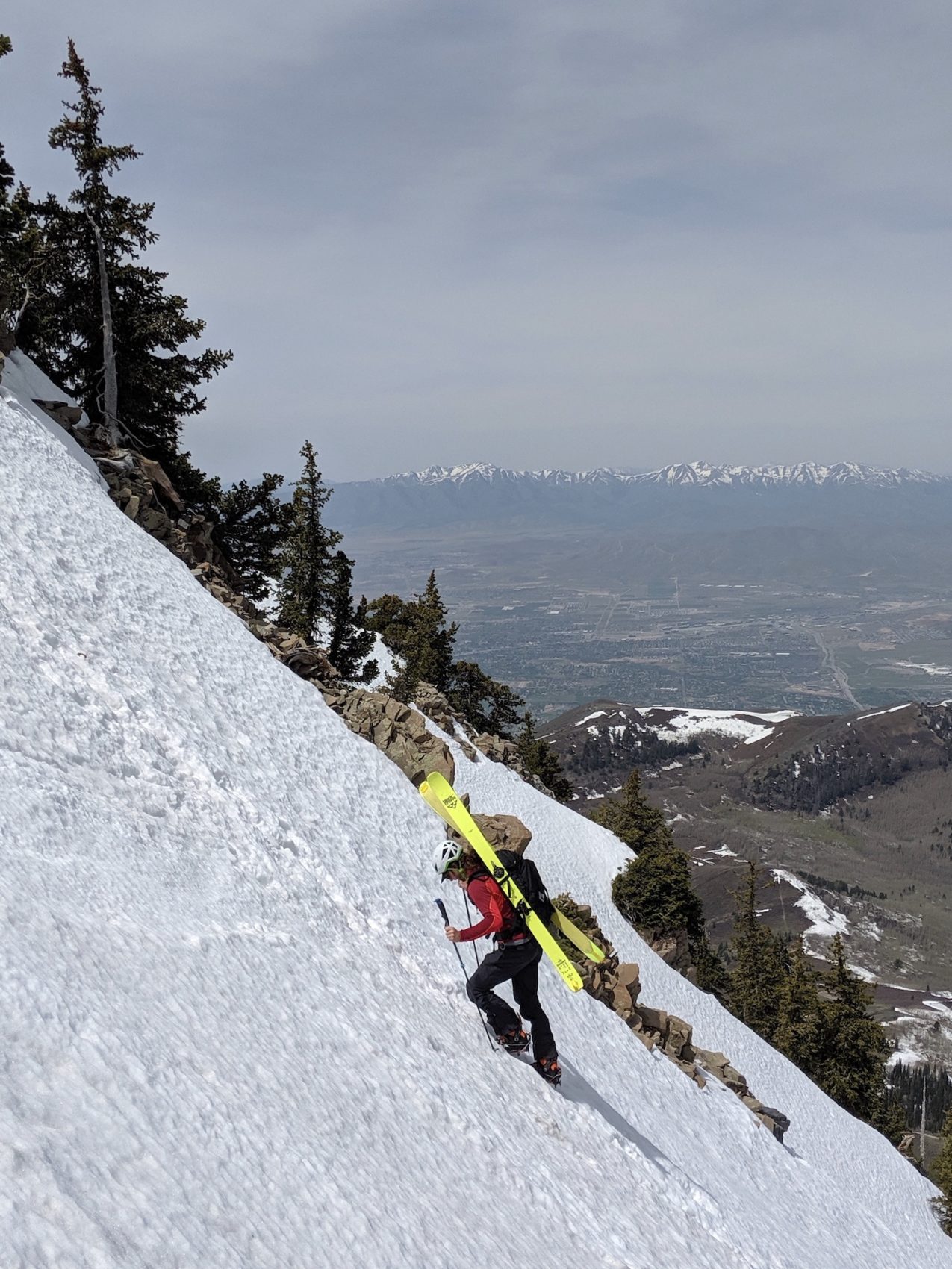
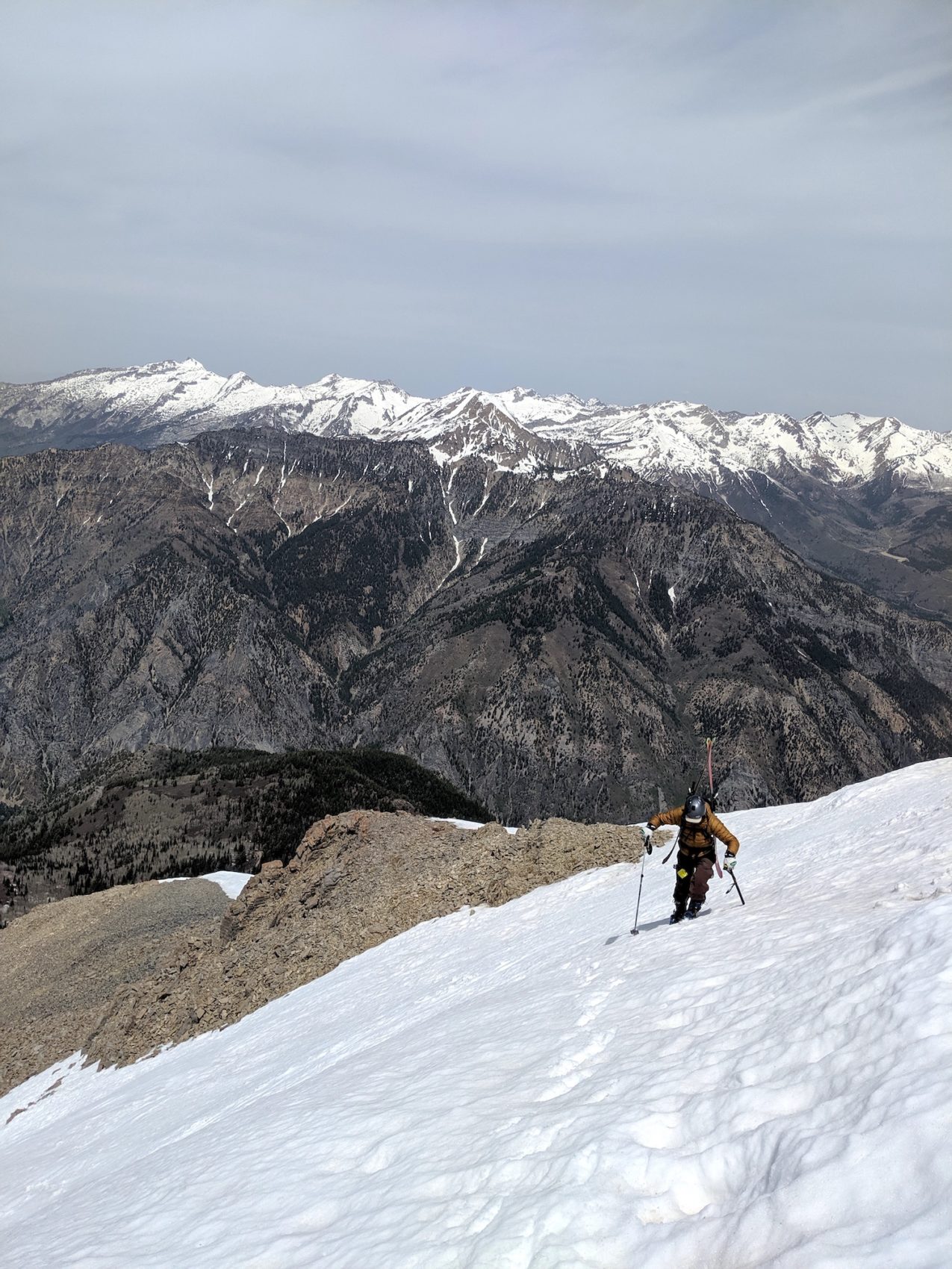
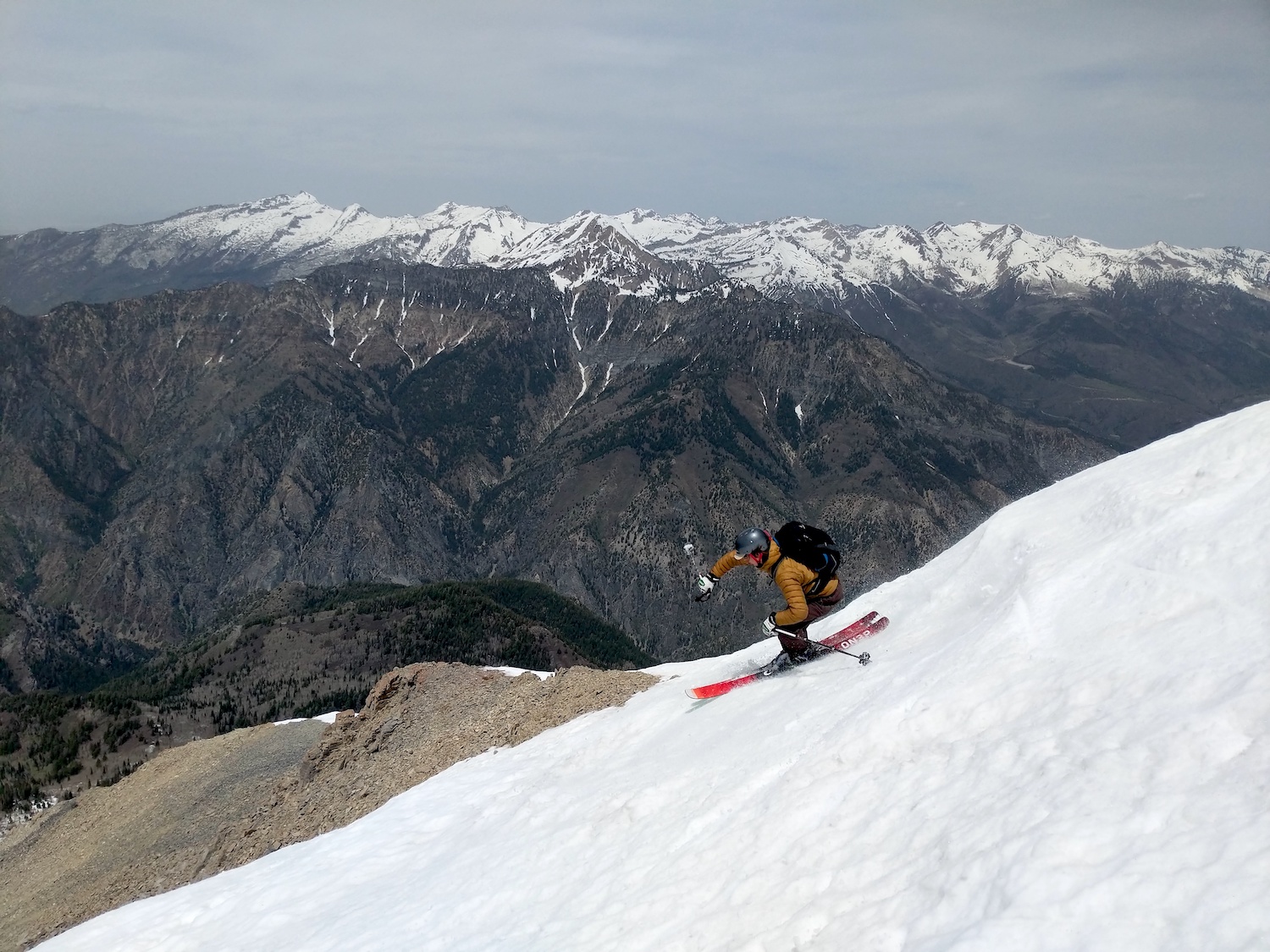
We dropped in around 1:30pm and then skied about 15 turns of firmish snow off the summit before crossing the steep little scree field (Martin’s least favorite part of the day) to the top of the Cold Fusion Couloir.
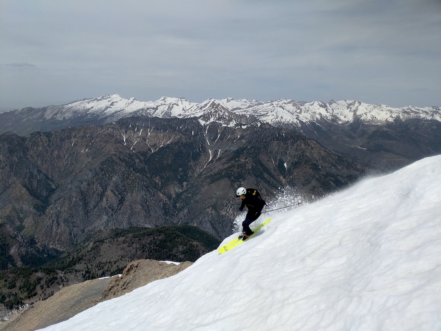
I dropped into the Cold Fusion Couloir in just about perfect corn snow and skied as fast as I could while making as many turns as I could.
I skied it from top to bottom and it took me 7 minutes and 8 seconds to get to the road.
An epic, long, very fun run.
The top was good corn snow but a touch firm, the middle was excellent corn snow, the very bottom was horrible, twist your knee, blow your ACL snow.
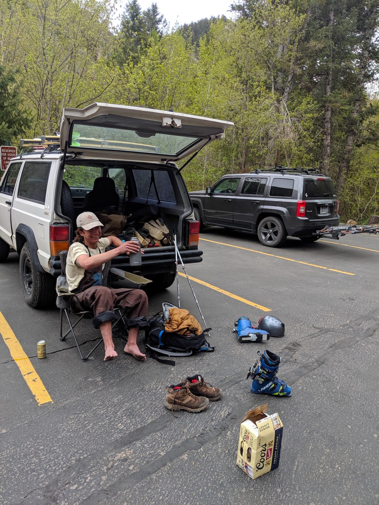
It felt exquisite to take the ski boots off and put sneakers back on.
We talked non-stop smack while strolling the cruisy road back to the Bear Canyon Trail that leads down to the Mutual Dell campgrounds, our cars, and our beer.
The road was easy.
The steep trail down to the campground was tough.
My knees were pretty pissed off…
But, it was over soon enough and were back at the cars laid out on the pavement drinking Coors Banquet Beer and talking about the day and the next adventure…
The 50º Grunge Couloir of Mt. Timpanogos?
Maybe on Saturday…
May/June 2020 Trip Reports:
- Trip Report: Tickle Mary’s Nipple, WY — Why Not?
- Trip Report: Bloody Mountain, CA – “Bloody Couloir”
- Trip Report: Sailing from San Francisco, CA to Angel Island
- Trip Report: Mt. Dana, CA – “Dana Couloir”
- Trip Report: Mt. Dana, CA – “Solstice Couloir”
- Trip Report: Mt. Timpanogos, UT – “Grunge Couloir”
- Trip Report: Mt. Timpanogos, UT – “Cold Fusion Couloir”
- Trip Report: Snowbird, UT – “Pipeline”
- Trip Report: Mt. Superior, UT | “South Face”
- Trip Report: Little Cottonwood Canyon, UT – “Tanners Gulch”
- Trip Report: Antelope Island/Great Salt Lake , UT | The Baja California of Utah… But With Buffalos
- Alta, UT Report: Little Chute Absolutely Firing in Spring Splashiness!
Photo Tour in Chronological Order:
The featured image is not a “Stock Image”. Do the right thing, and credit it back to the original source.
Hey Chris, I greatly apologize. Thank for allowing us to use the terrific image. I just gave credit to parkcitypeople.com. Thanks much.