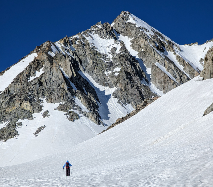
Report from June 15, 2023
We’ve had terrible weather in the Eastern Sierra since Saturday.
Rain, snow, thunderstorms, lots of clouds.
We waited out the storms, then gave the snowpack two days to adjust to all the rain, hail, and new snow.
We returned yesterday hoping for a good overnight freeze and smooth corn skiing.
We were wrong.
The snow was bad, it didn’t freeze enough at night, and an avalanche killed a skier as they were climbing up on nearby Hurd Peak on Wednesday – the day before we climbed and skied Johnson.
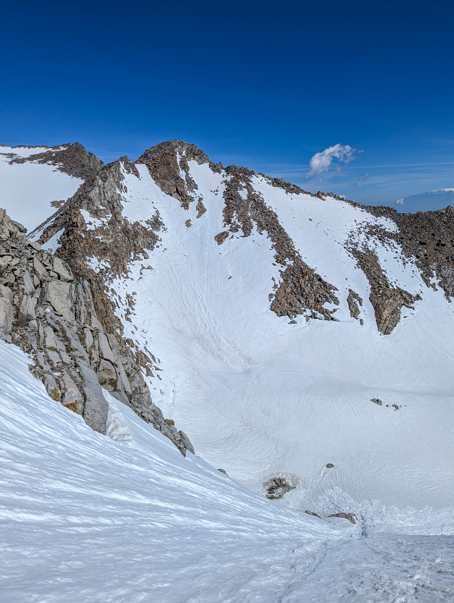
The snow was so mushy and isothermic at the base of the chute. Lee & Trevor decided to skip it and do laps in the lower bowl.
This was our spring’s 14th ski mountaineering line here in the Eastern Sierra and the 1st with bad snow.
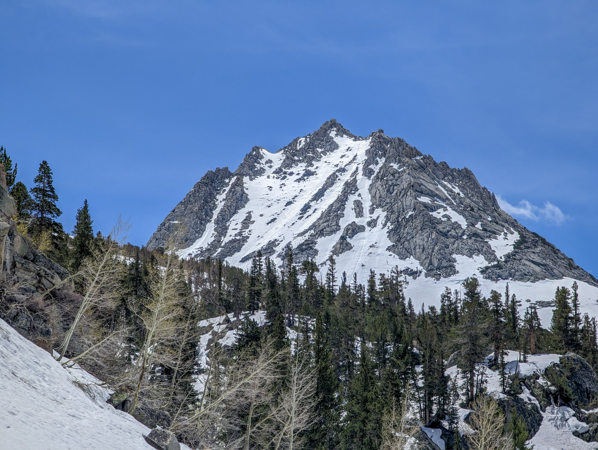
12,871′ Mount Johnson, CA – “North Couloir” Details
- Summit (actually a notch): 12,700′
- Car: 9,400′
- Vertical From Car: 3,300′
- Vertical skied: 1,500′
- Max Pitch: 40º
- Avg Pitch: 35º
- Aspect: North
- Distance: 10 miles round trip
- Time From Car to Top: 4 hours & 45 minutes
- Car to Car Time: 7 hours
- Recommended Equipment: Crampons, Ice Axe, Skins, Ski Crampons
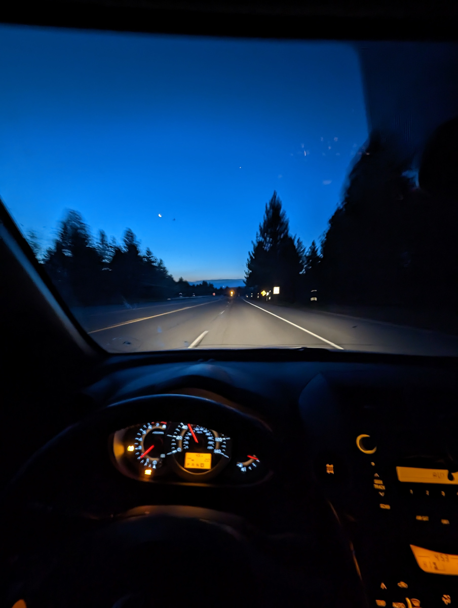
4 am alarm.
On the road by 4:45 am.
Hiking by 6 am.
40ºF at 6 am at our car.
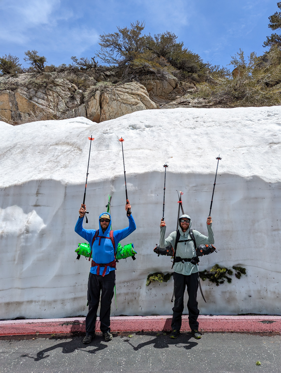
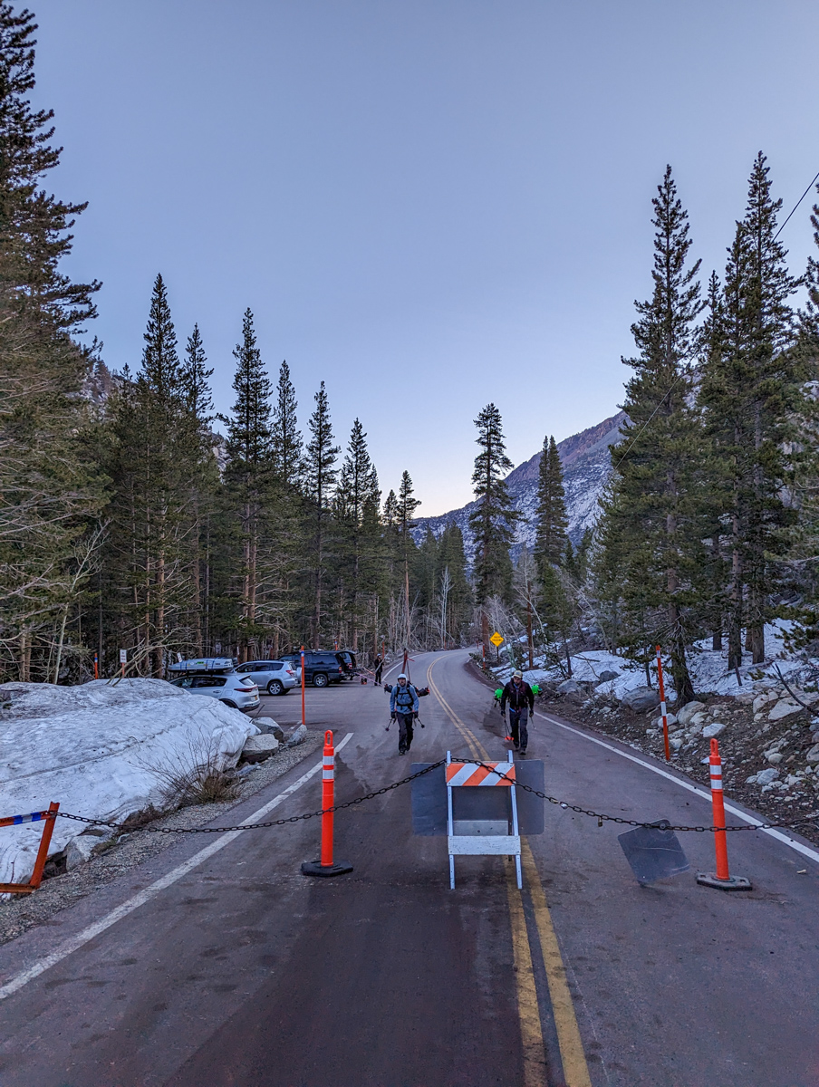
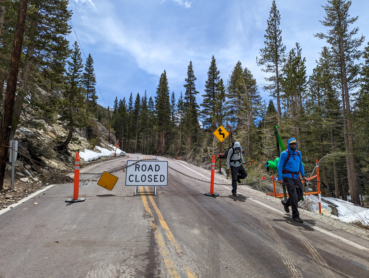
The road is still closed at Parchers Resort.
We jollily walked up the road to South Lake from Parchers Resorts.

Shoes stashed and switched to ski boots.
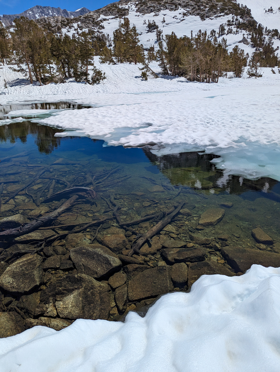
We clumsily skied down bulletproof suncups to the lakeshore.
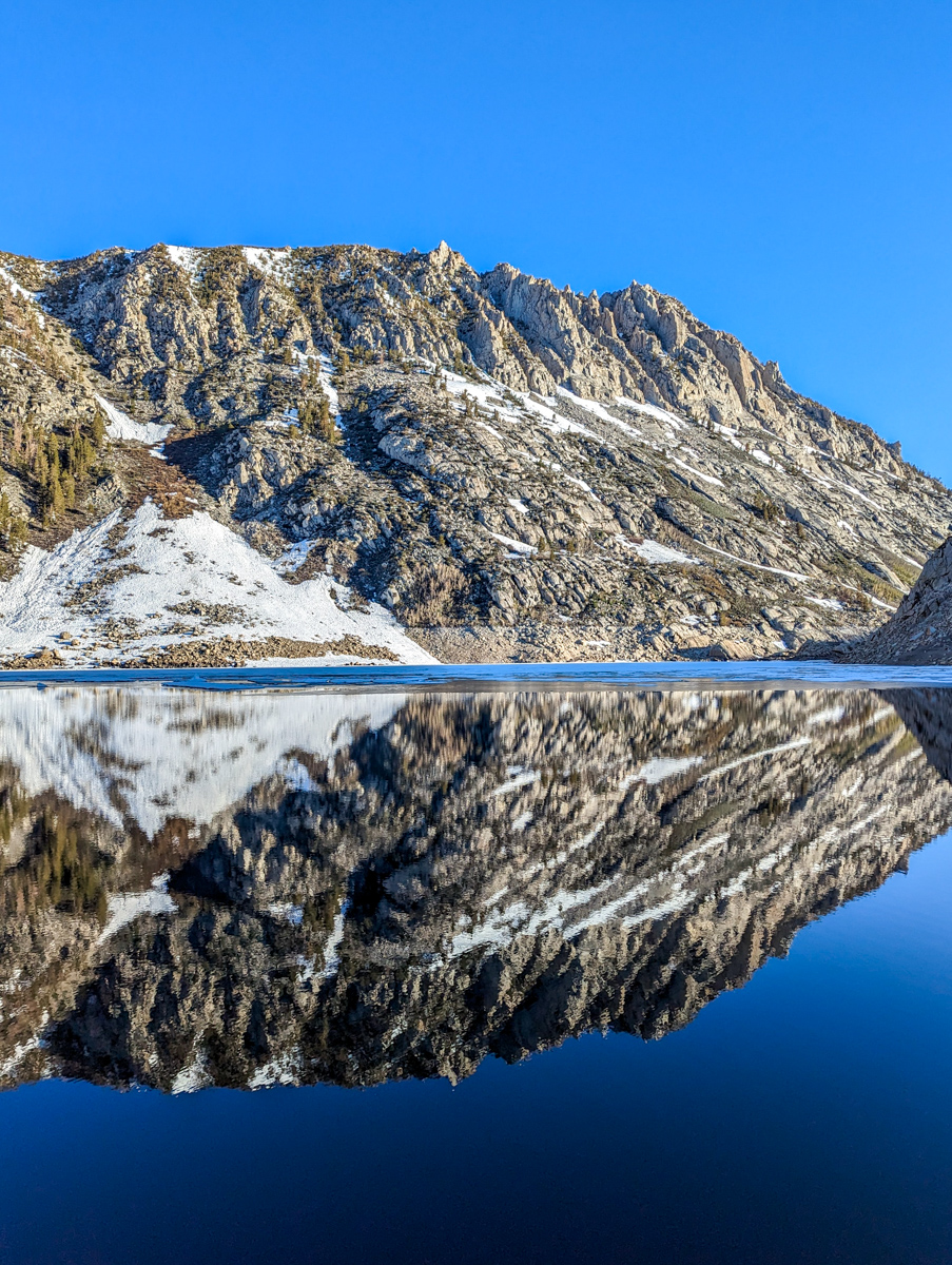
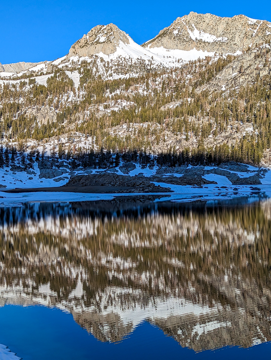
Reflections off the lake were surreal.
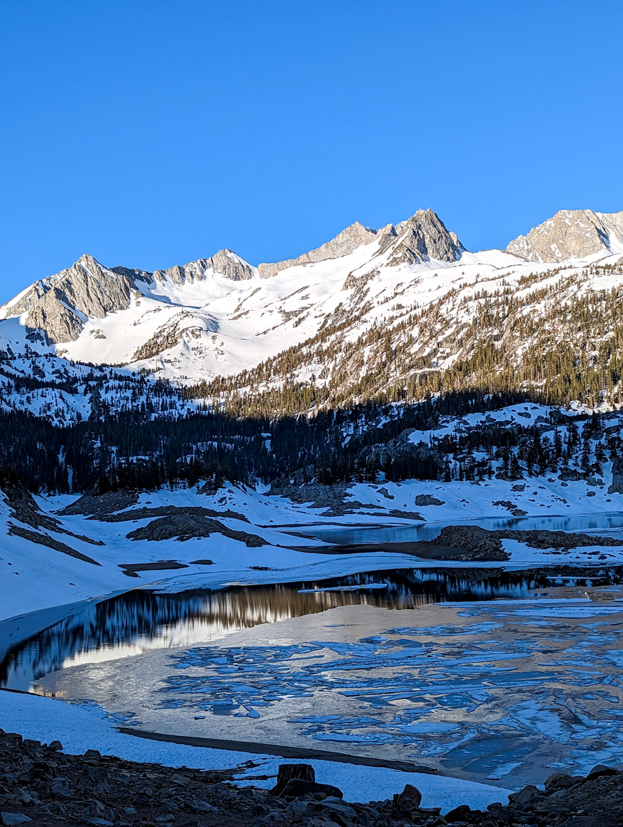
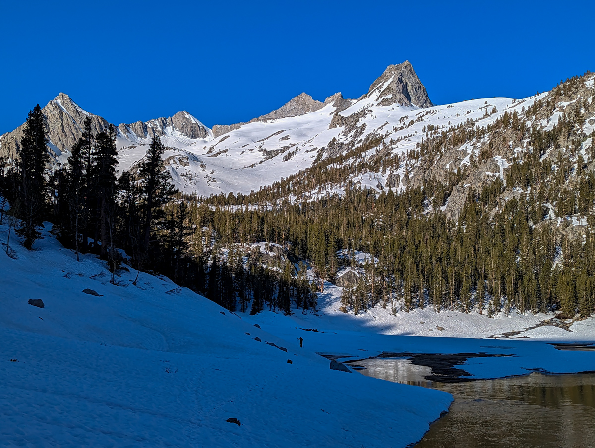
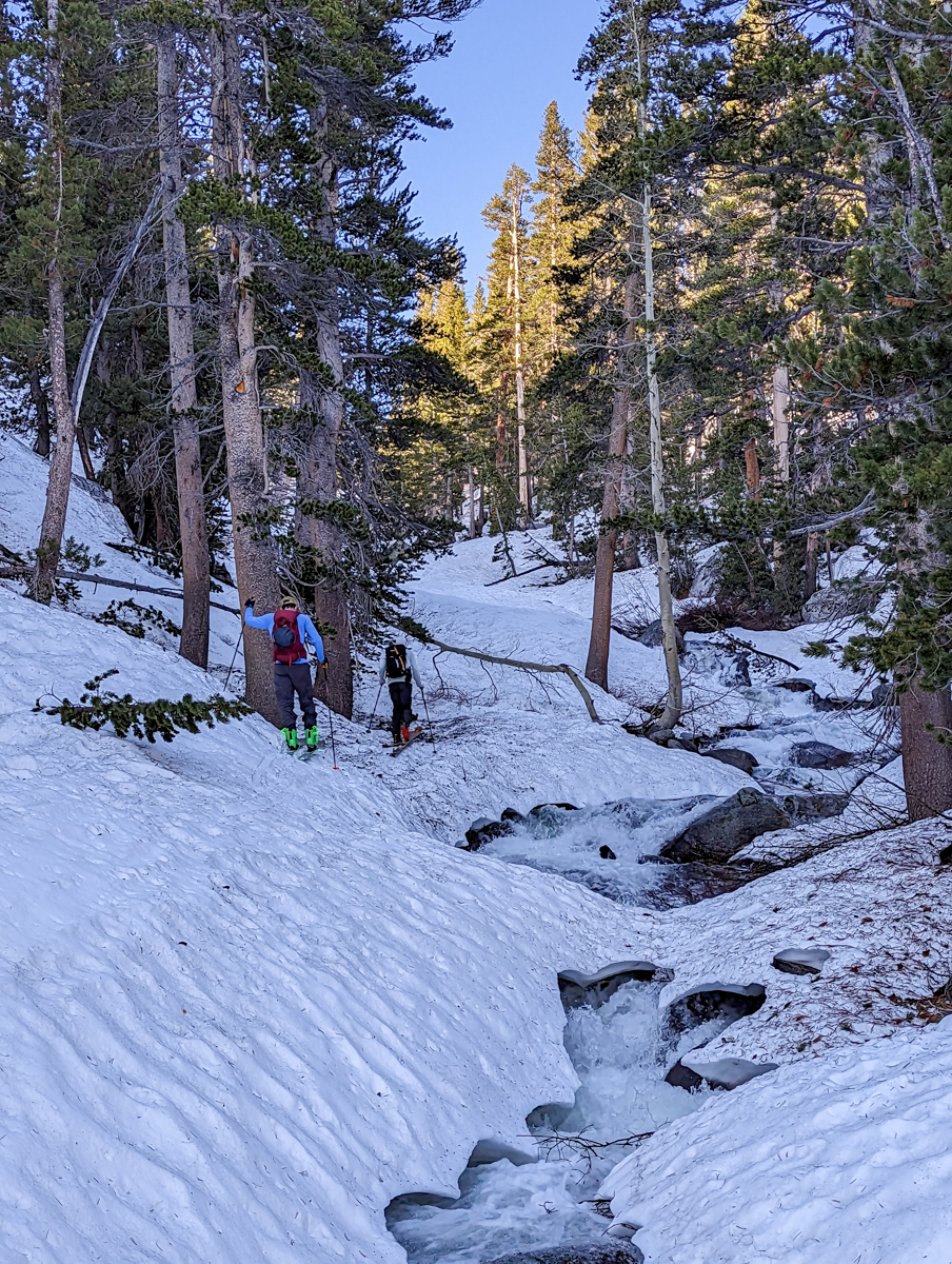
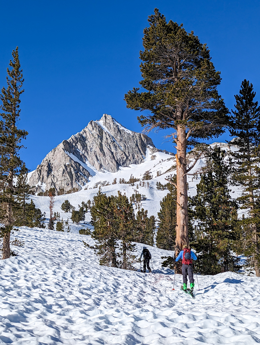
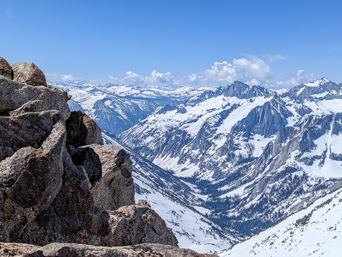
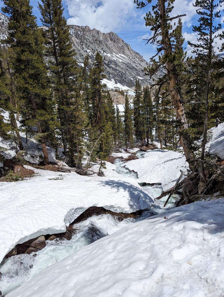
Around the lake, up the waterfall, and along the gully into unknown territory.
We’d skied Hurd Peak last Friday, so we knew this terrain a little.
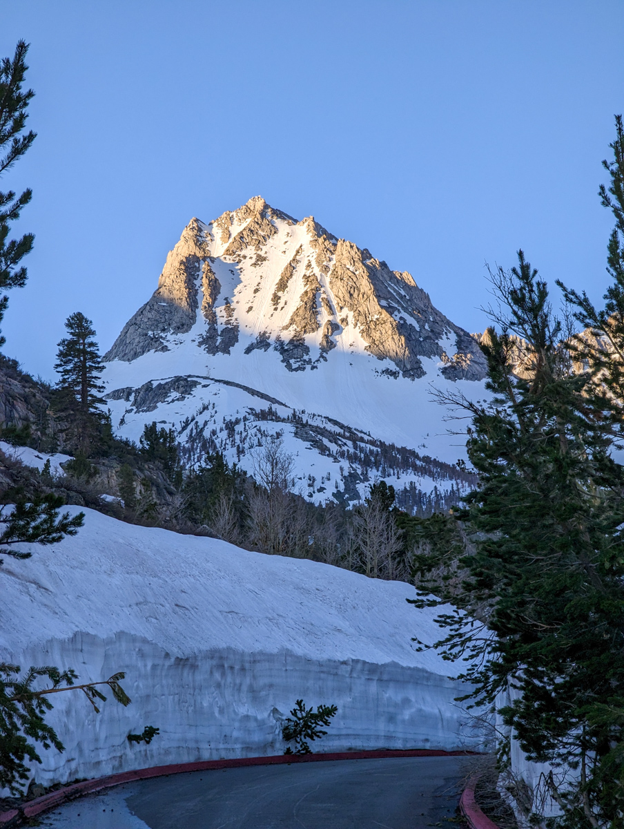
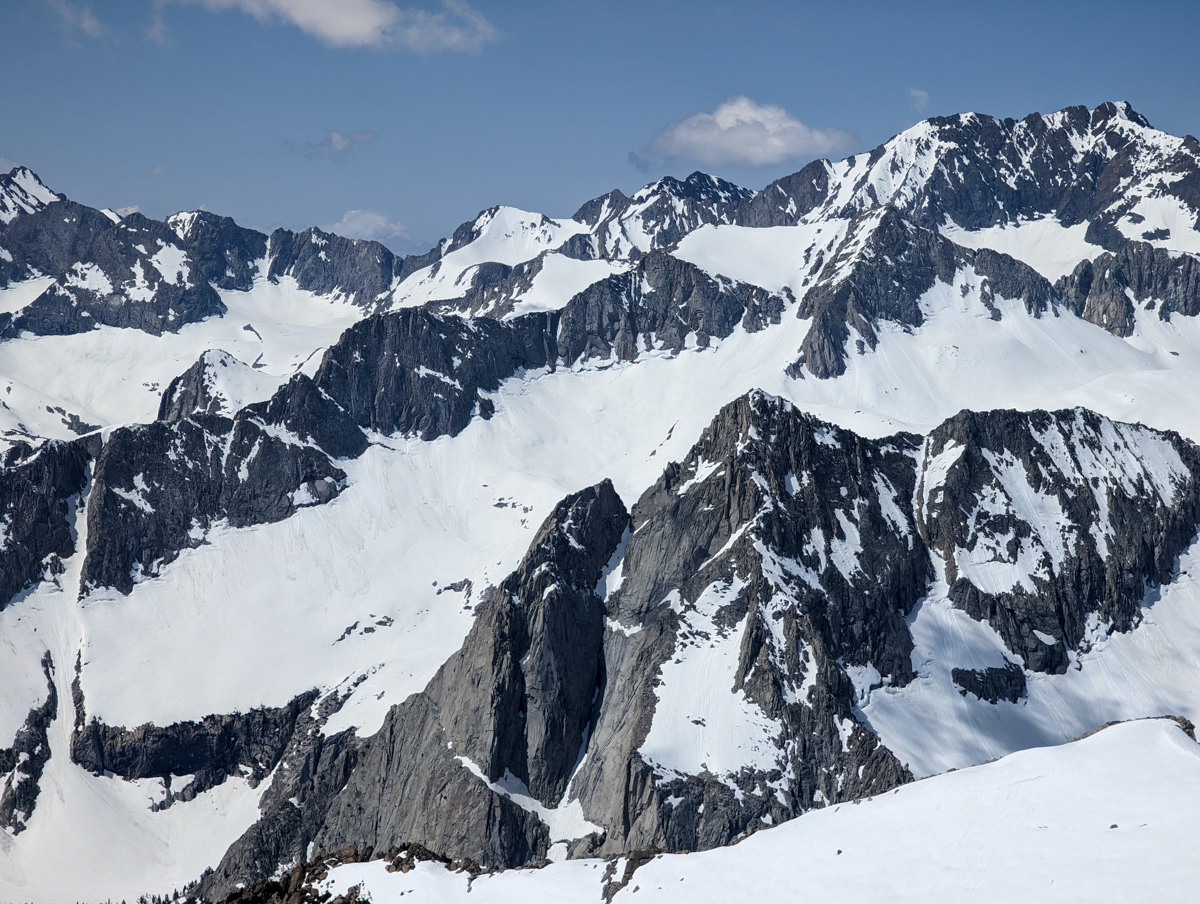
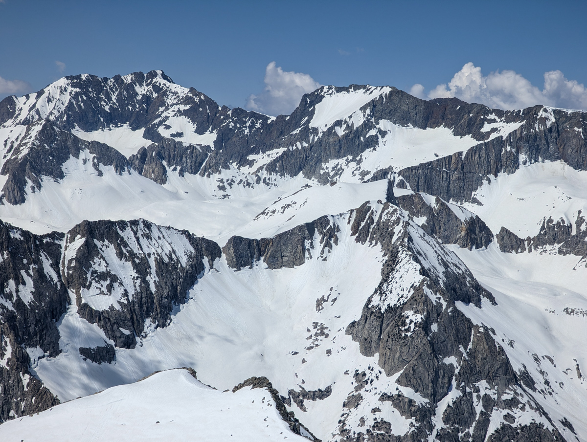
From the top of Hurd, we saw Johnson and just had to go ski it.

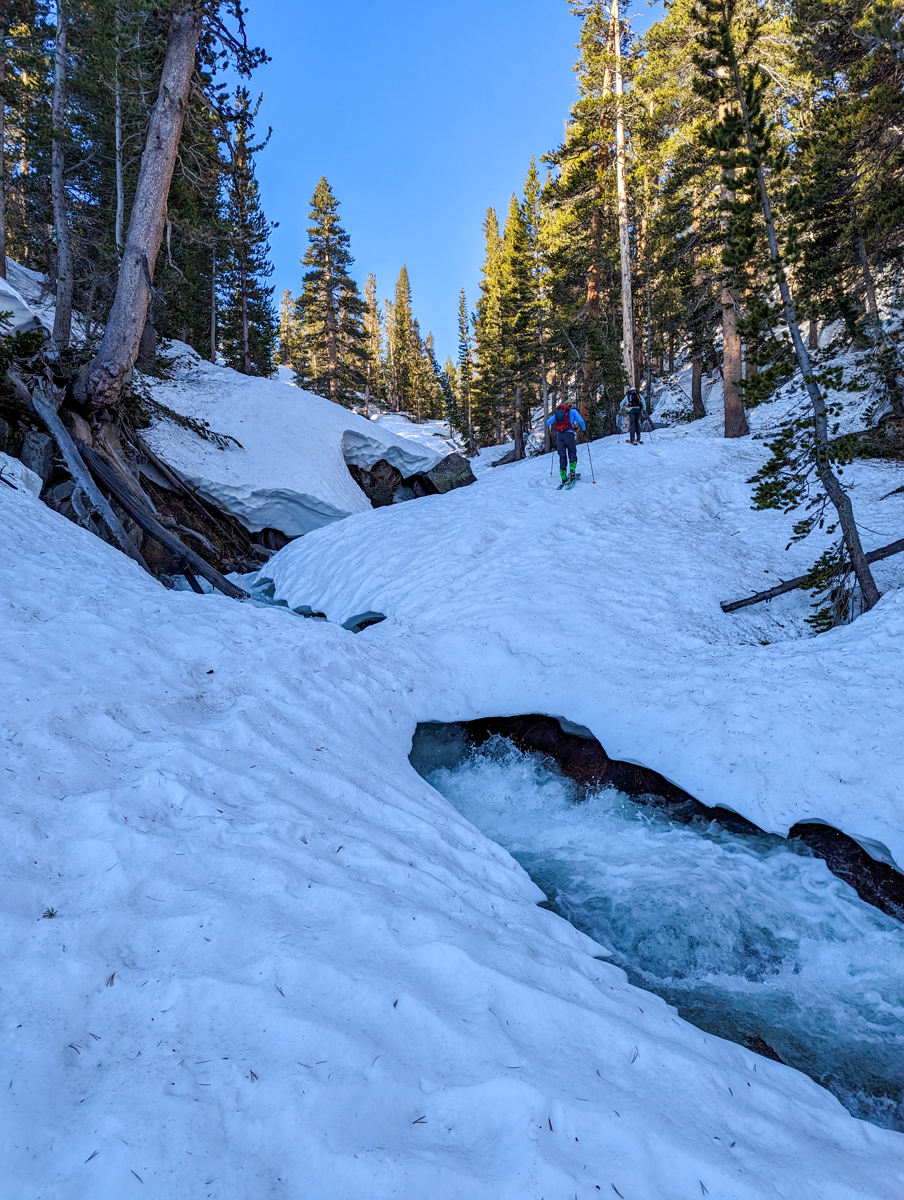
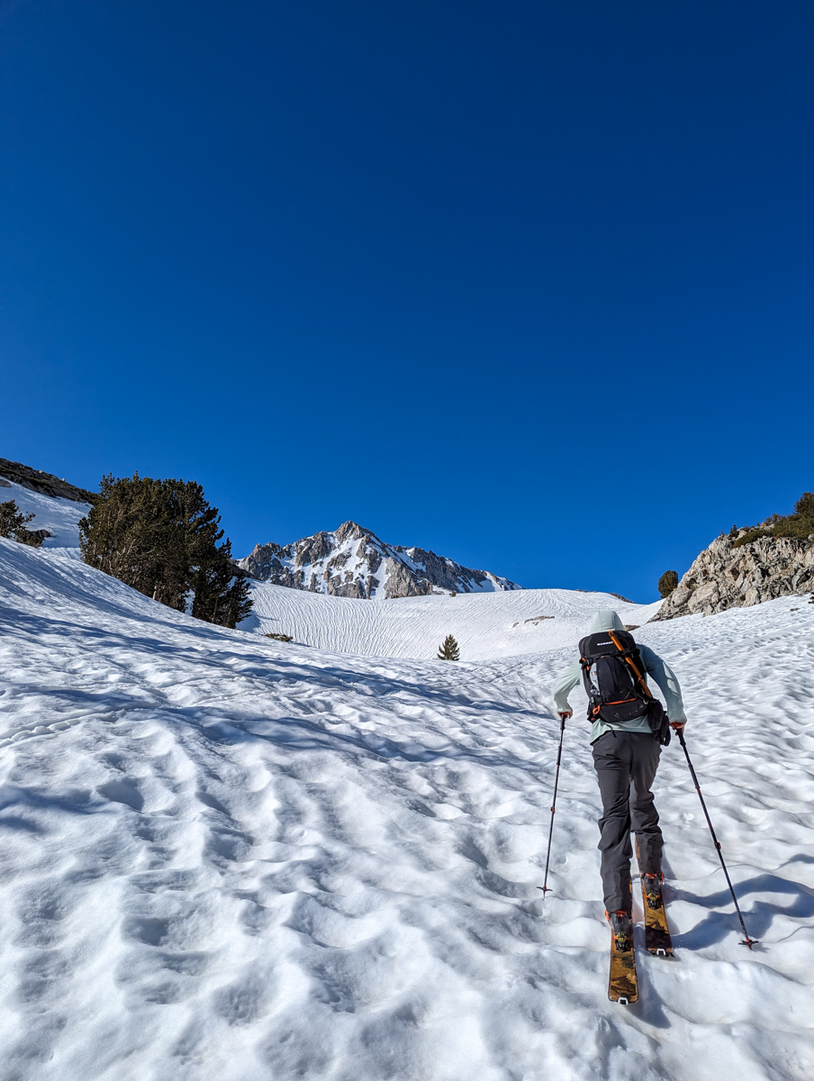
We meandered up gullies and crossed creeks a half dozen times (luckily, the snow bridges were rock hard).
As we gained altitude, the temperature skyrocketed.
Inversion.
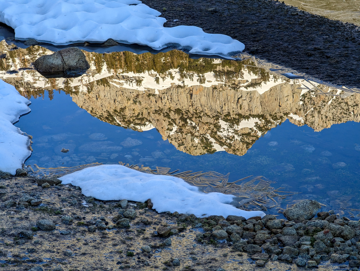
The 40ºF at the car had us excited.
Now, the steamy temperatures up high had us worried.
Especially considering the loose wet avalanche fatality on Hurd Peak just the day before.
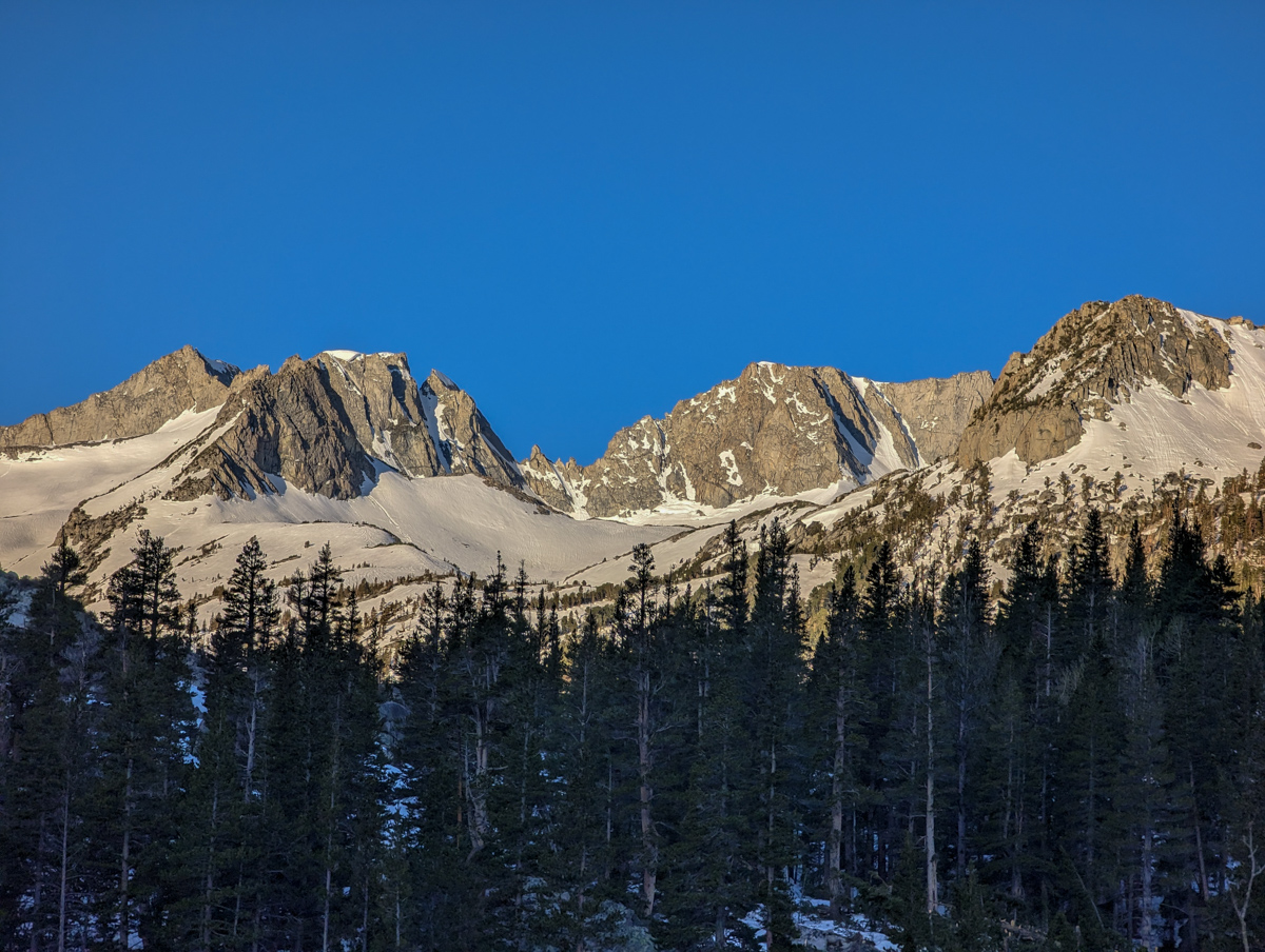
We reached a very frozen Treasure Lake and glided across it.
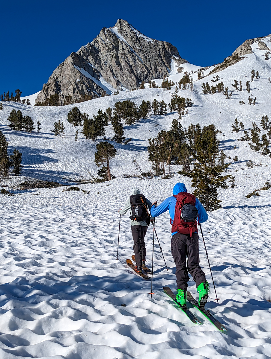
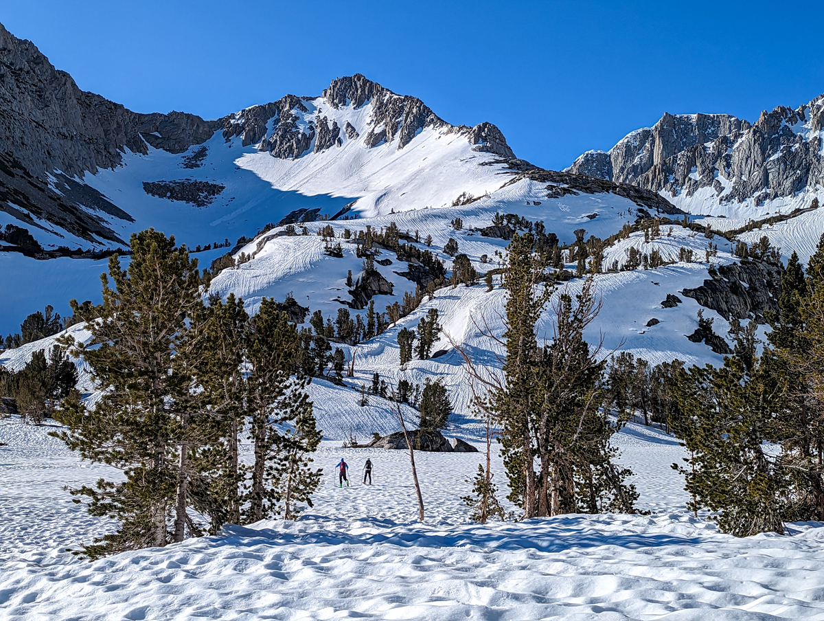
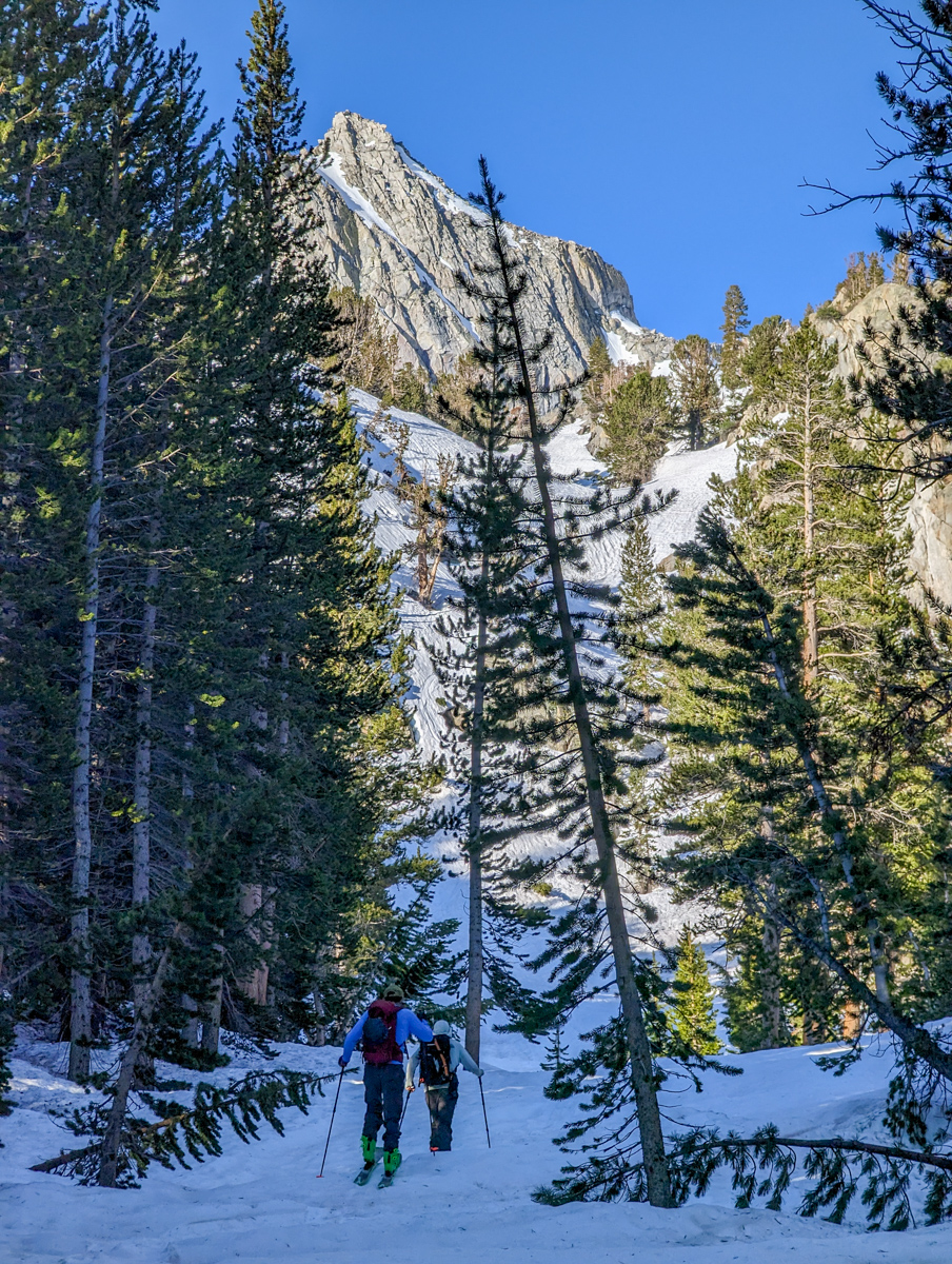
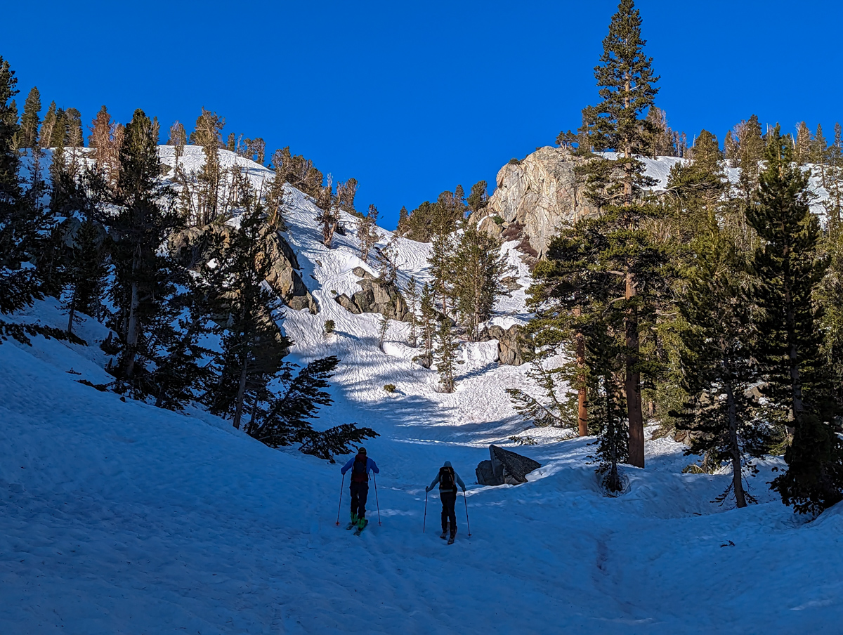
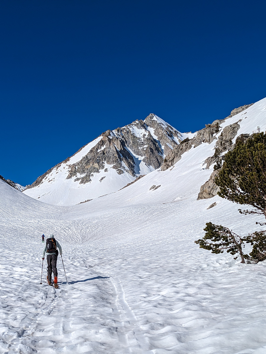
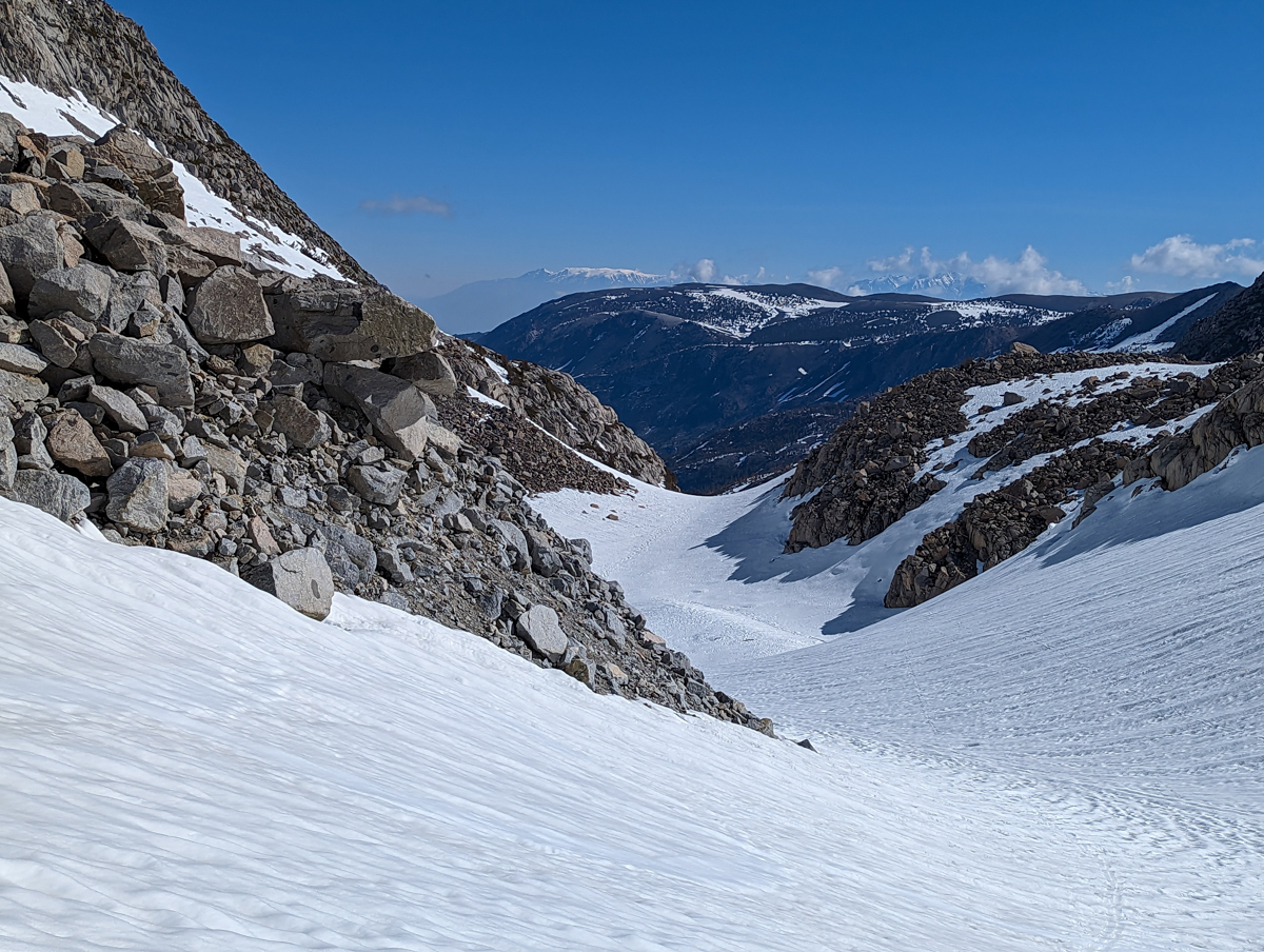
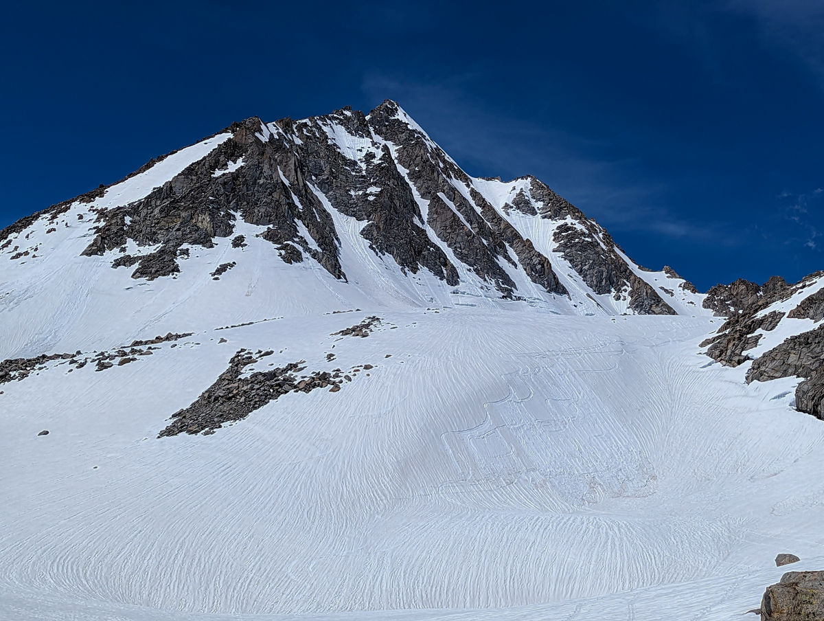
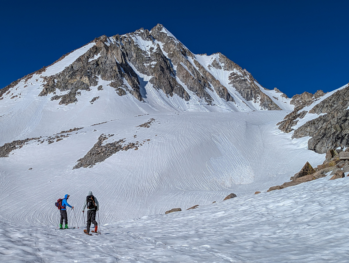
Thankfully, the terrain was very simple, and we easily skinned to the base of Johnson without event.
Lee and Trever started skinning up Johnson and stopped.
When I reached them, they told me the snow was too soft and thought the skiing would be awful.
They were also worried about safety.
It was 9:30 am.

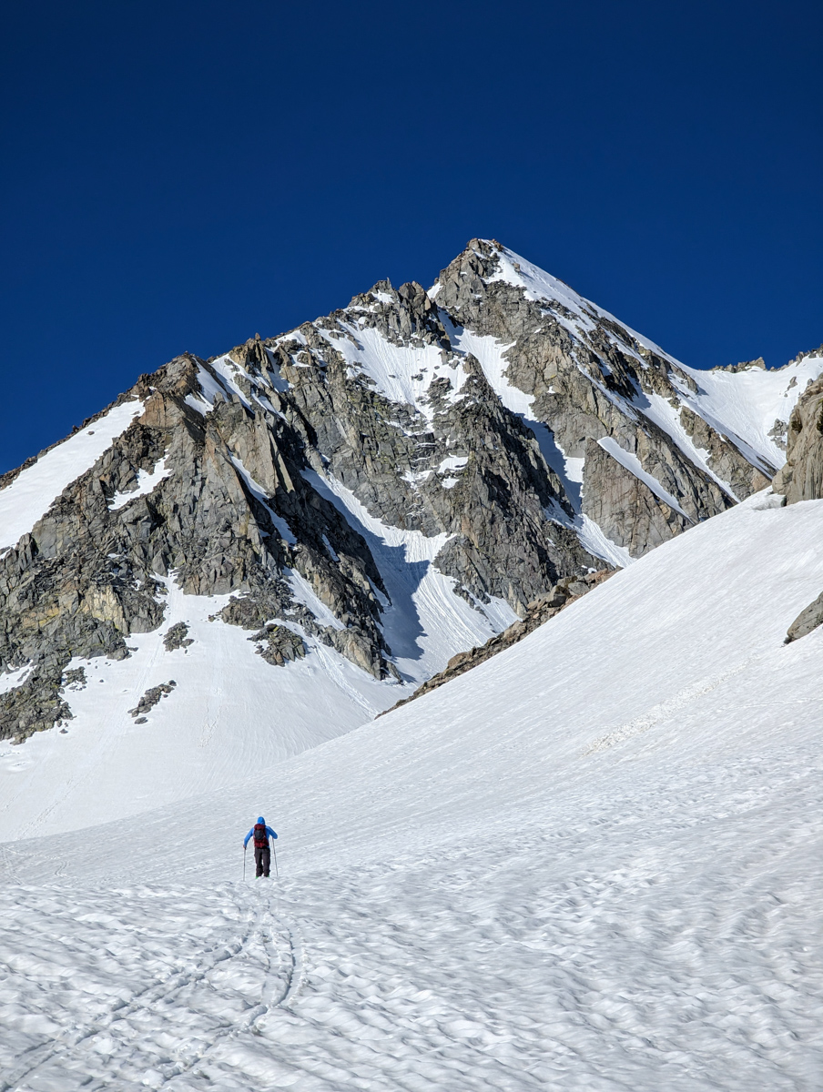
It had taken us 3 hours and 30 minutes to reach the base of the chute.
I understood their concerns, and we all agreed I’d continue up solo, and they’d keep an eye on me while skiing a quick lap in the lower bowl.
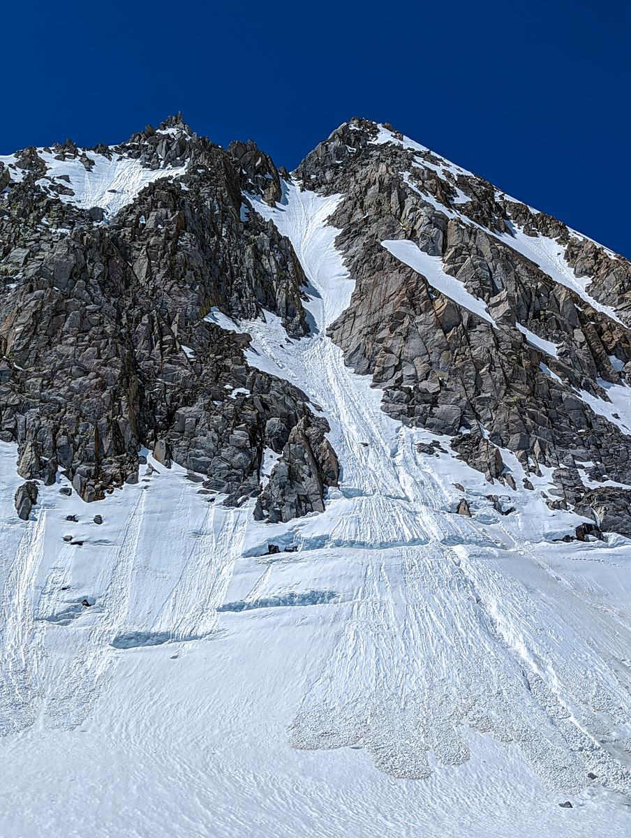
I climbed up in deep isothermic snow.
Knee deep.
Wet loose avalanche debris was all over the base of the mountain from the previous day.
I climbed up the frozen debris, and soon the snow became more firm.
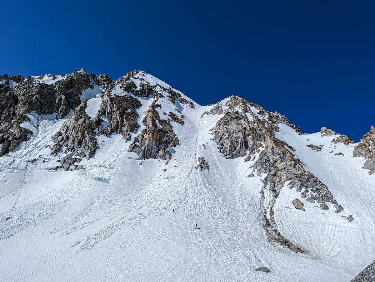
Ankle keep.
I moved uphill quickly at that point.
Near the top, the aspect of the chute changes to a bit more east, and the knee-deep snow returned.
It was clear this chute wasn’t going to ski well.
It was still pretty firm for the most part but a weird, inch-deep firm with soft, mushy snow underneath.
I lingered not.

I dropped in at 11 am to punchy, weird snow that my tails dug into and caused me to fall over.
It’s not steep.
I fell uphill.

It took me a minute to unstuck my right ski tail from the snow.
I’d gotten the message:
“The snow is bad here, ski in survival mode and stay safe.”
Got it.
I used the blocky, square, get-down-anything stance of Andrew McLean.
It worked.
I even had fun in the middle of the chute during a brief section where the snow was kinda OK.

Then it got isothermic again, and I survival skied to the bottom.
The only thing I shouted to Lee & Trevor watching was:
“It wasn’t good.”
I took a break, ate, and drank.

We regrouped and headed down.
A mini pond skim to get onto Treasure Lake was a cheap, fun thrill.
From there, the skiing was quick, easy, and simple via a frustrated waterfall to get back to South Lake.

Up to our shoes, then down the cruisy road to the car.
I ran into my old high school friend Catherine on the walk down the road.
I hadn’t seen her in many years.
Seeing her made my day!
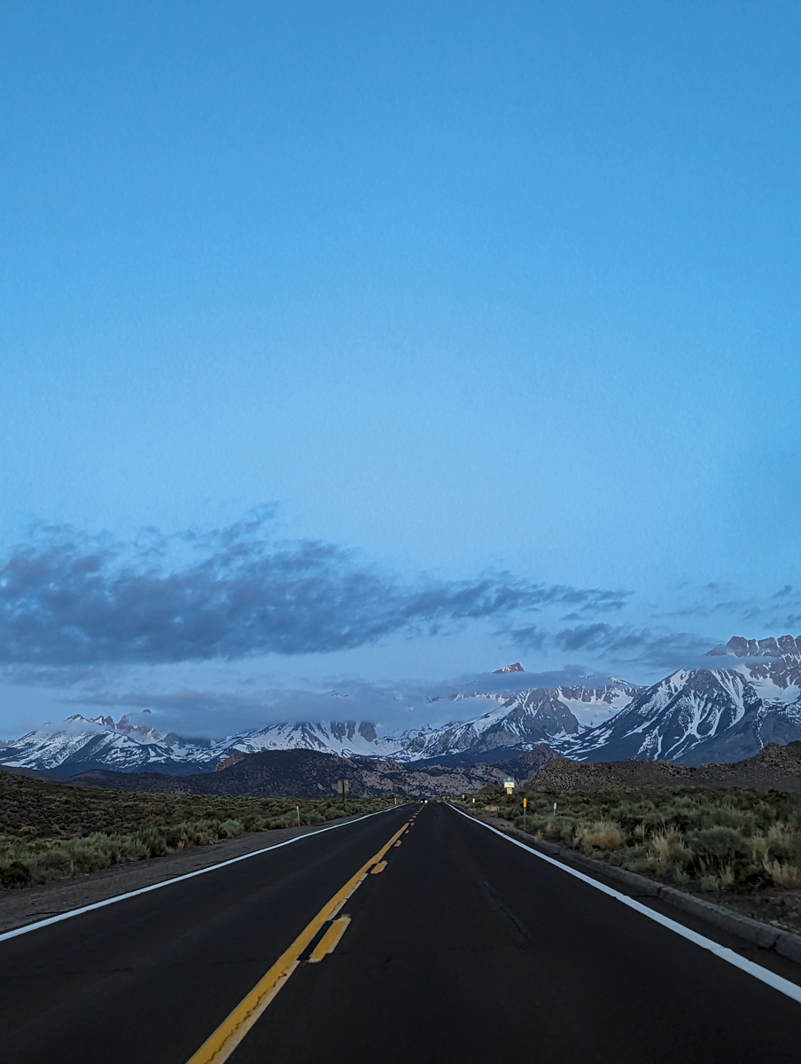
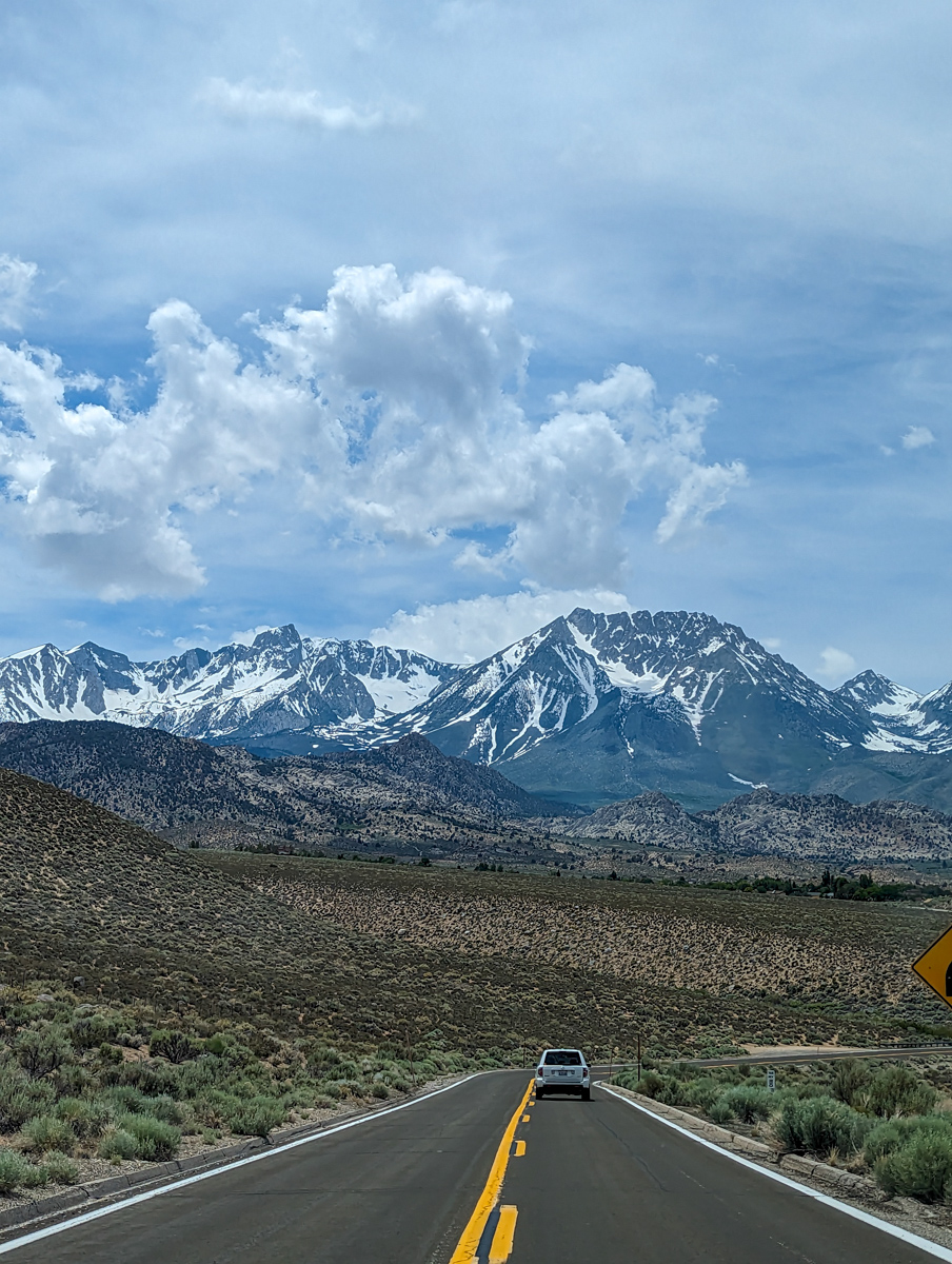
The drive home was gorgeous, as per usual.
Thanks, California
SPRING 2023 REPORTS
- 6/9/23: Trip Report: 13,366′ Point Powell, CA – “Point Powell Couloir”
- 6/8/23: Trip Report: 12,219′ Hurd Peak, CA – “North Face”
- 6/4/23: Trip Report: The Incredible Hulk, CA – “Hulk Left Couloir”
- 6/2/23: Trip Report: 13,187′ Basin Mountain – “Basin Couloir Alternate”
- 5/31/23: Trip Report: 12,808′ Four Gables, CA – “Tungstar Bowls”
- 5/27/23: Trip Report: 11,160′ Mt. Scowden – Lundy Canyon – “North Face Chute”
- 5/24/23: Sierra Nevada, CA Report: Skiing Through A Lava Tube Cave
- 5/23/23: Trip Report: 13,118′ Mt. Emerson – The 45º Steep “North Couloir”
- 5/20/23: Trip Report: 12,200′ Mt. Esha, CA – “2nd Chute”
- 5/18/23: Trip Report: McGee Creek Peak, CA – 2,800-Vertical-Foot “Wineglass Couloir”
- 5/16/23:Trip Report: 10,908′ Carson Peak, CA – 45º Steep “Pete’s Dream”
- 5/5/15/23: Trip Report: 11,812′ Mt. Laurel, CA – 3,500-Vertical-Foot “Pinner Couloir”
- 5/10/23: Trip Report: 13,005′ Mt. Morgan, CA – Nevahbe Ridge Gullies
PHOTOS IN CHRONOLOGICAL ORDER



























Nice trip!
Question: why the hoodies when it’s hot?