Report from June 9, 2023
13,366′ Point Powell Couloir, CA Kicked My Ass Yesterday!
14-miles, 10 hrs & 12 mins, & 4,000-vertical-feet was noticeable…
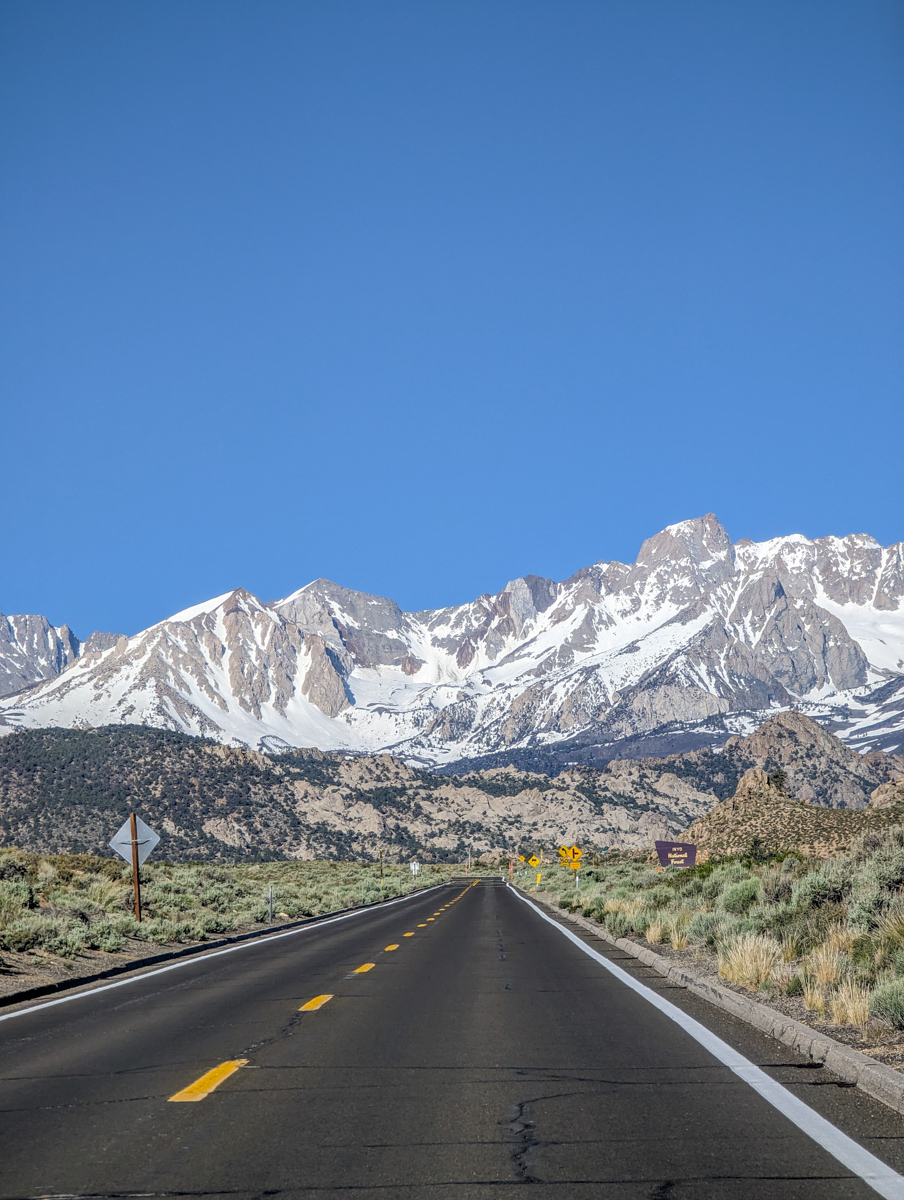
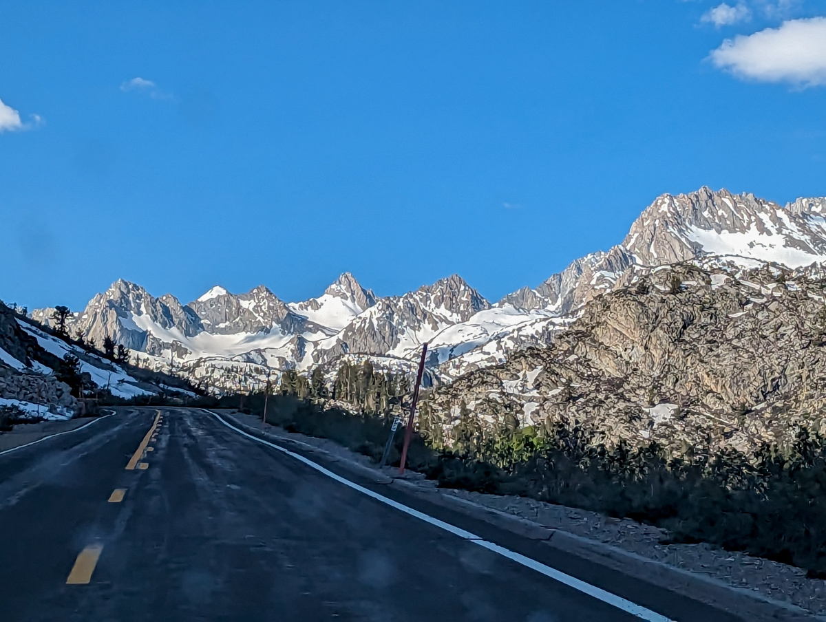
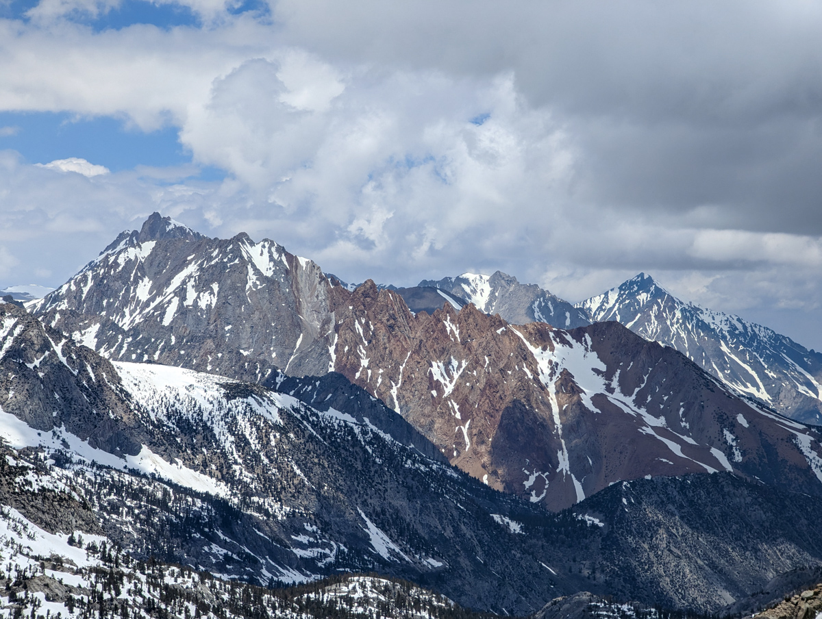
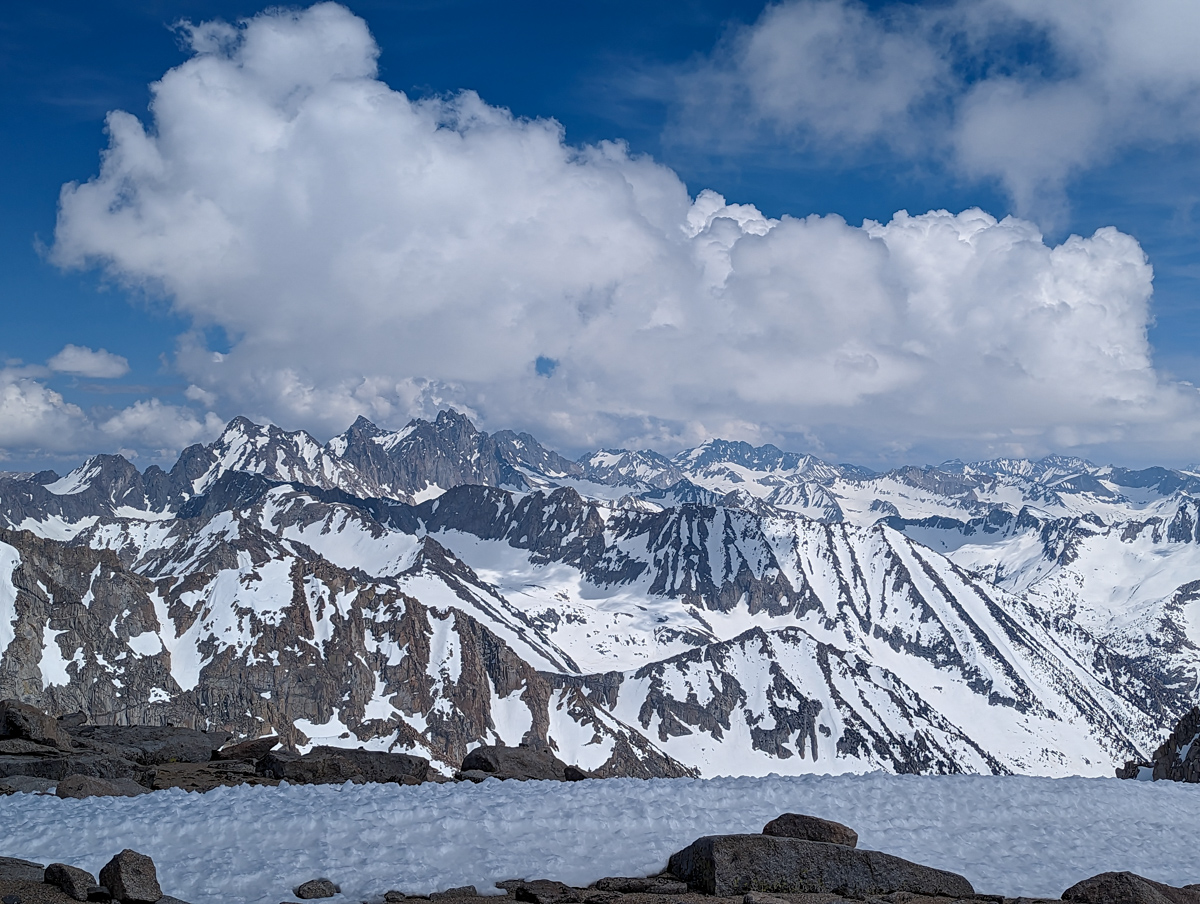
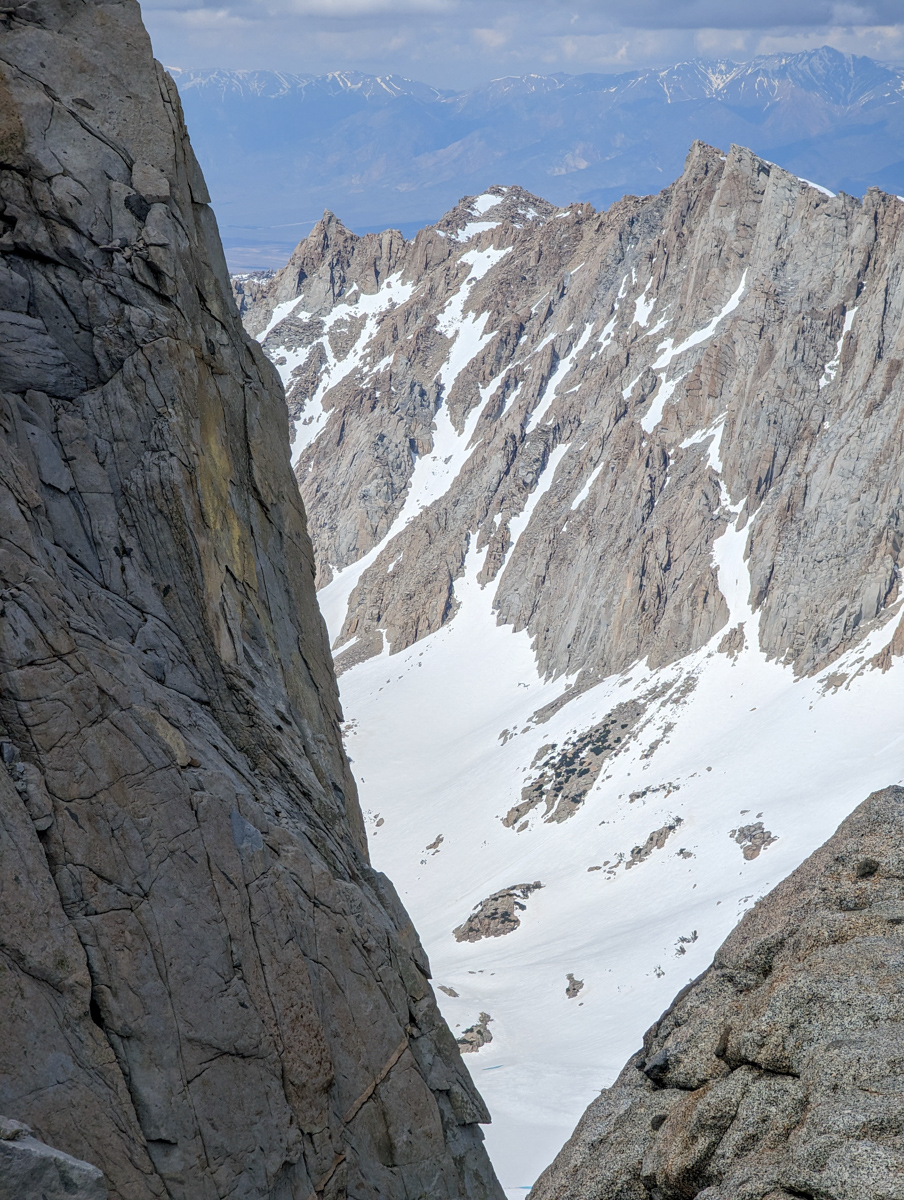
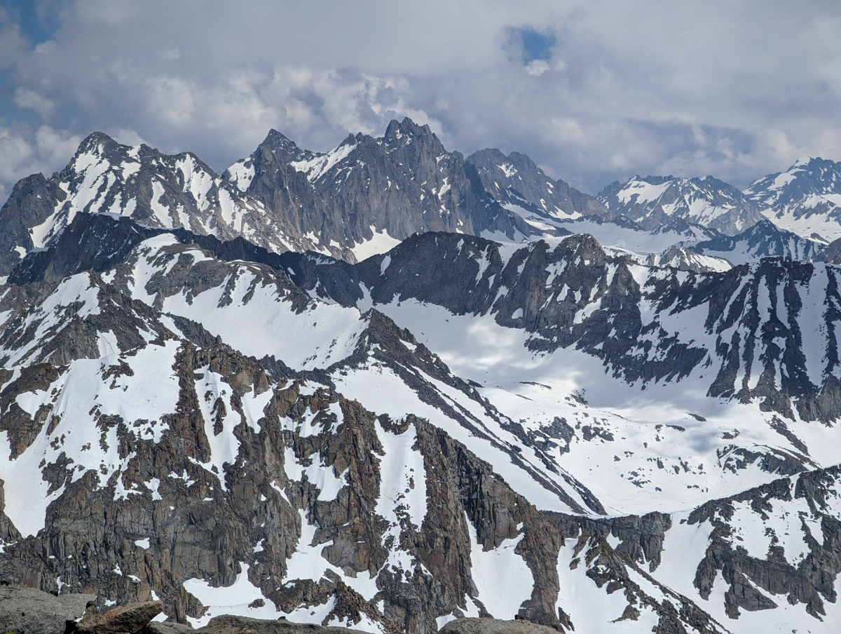
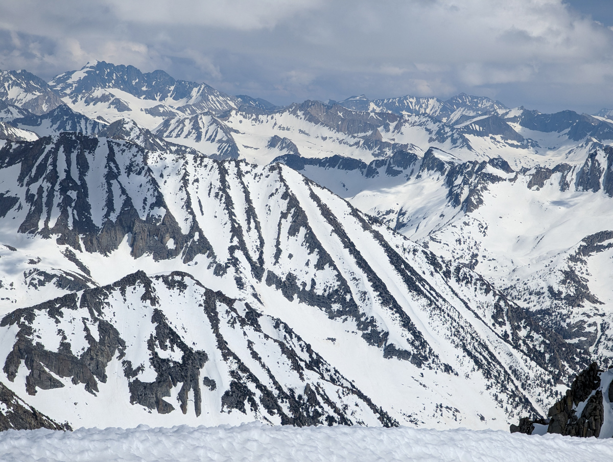
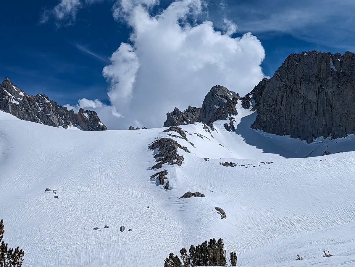
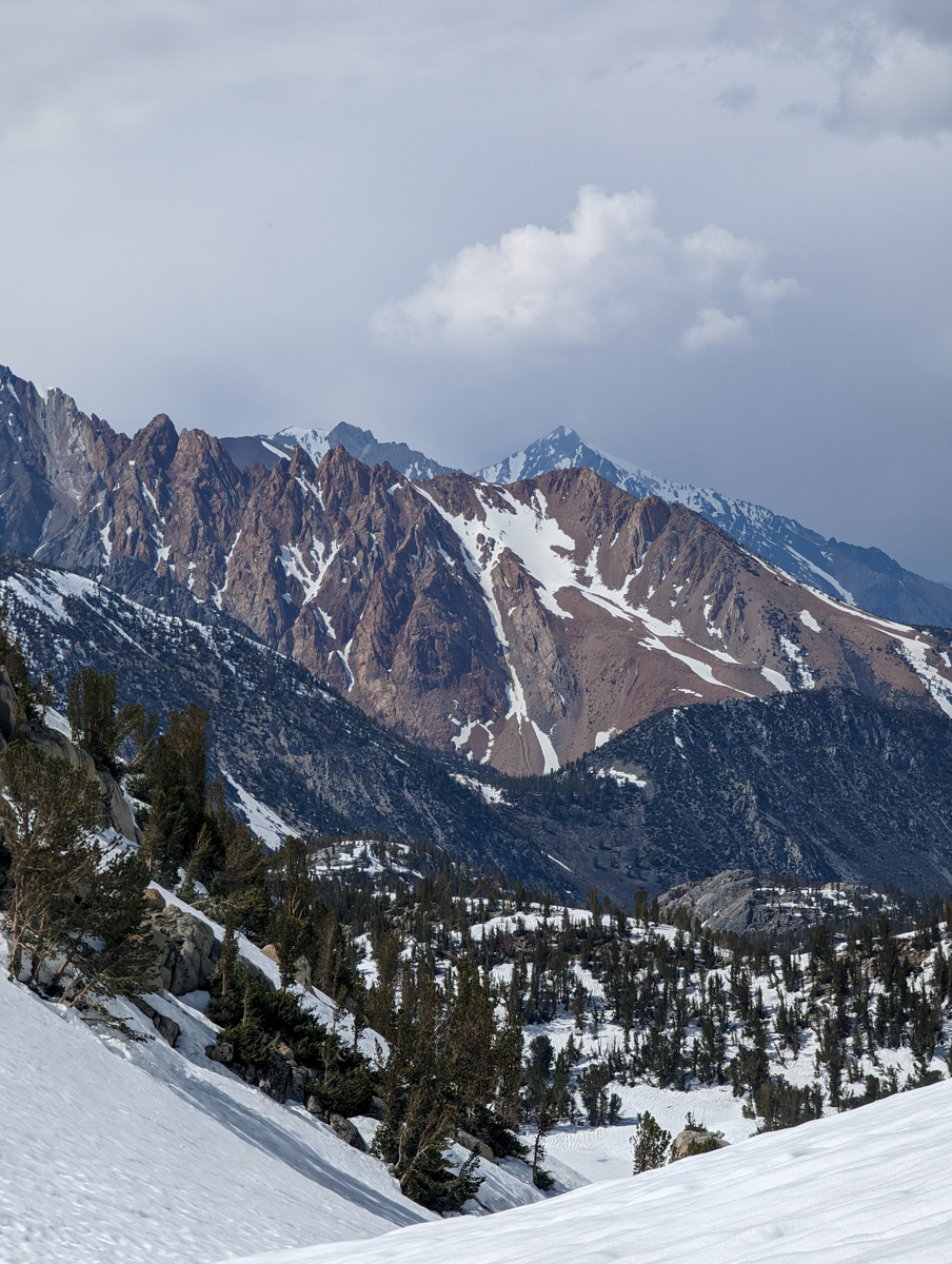
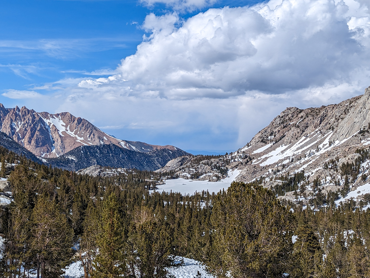
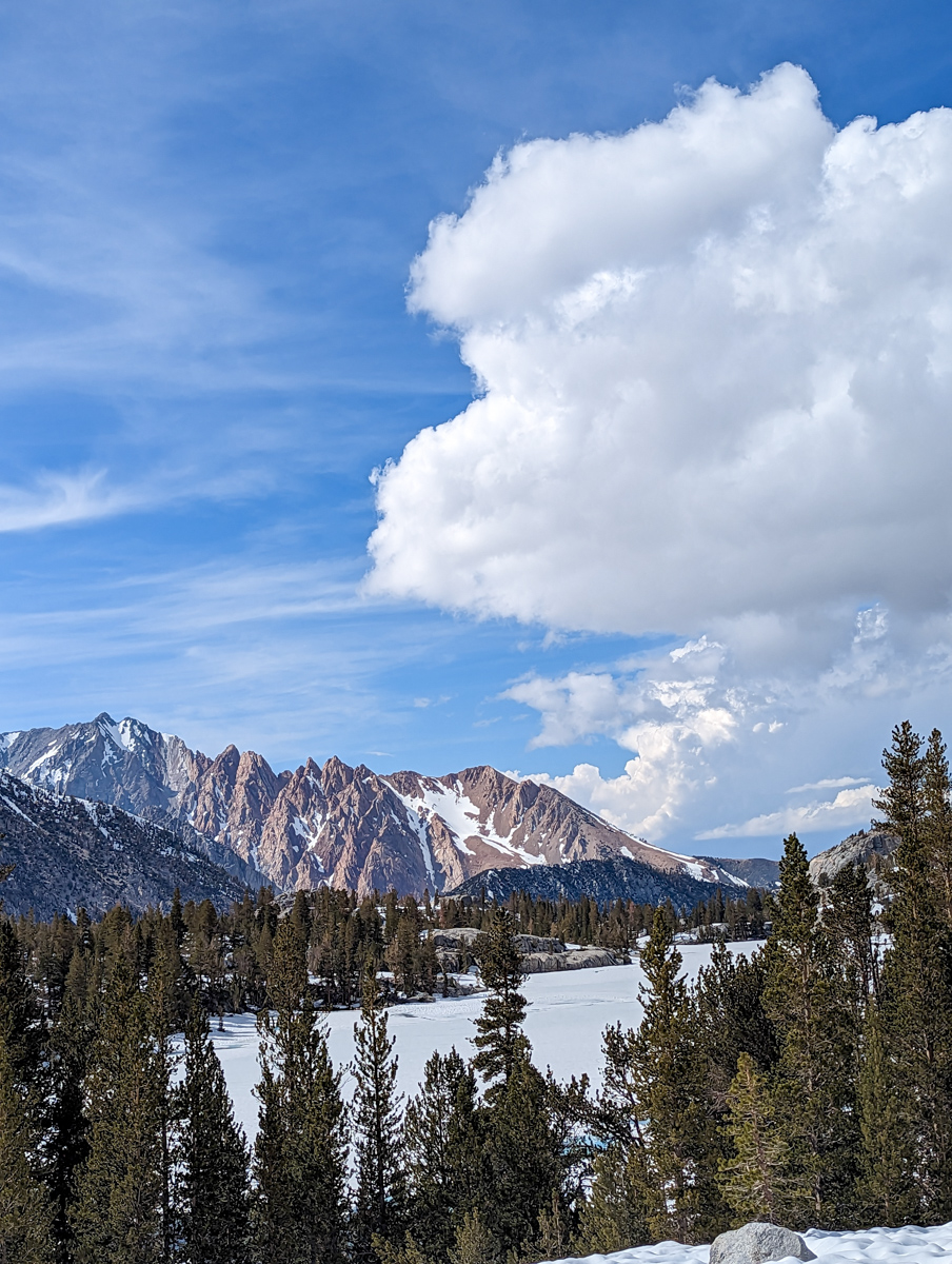
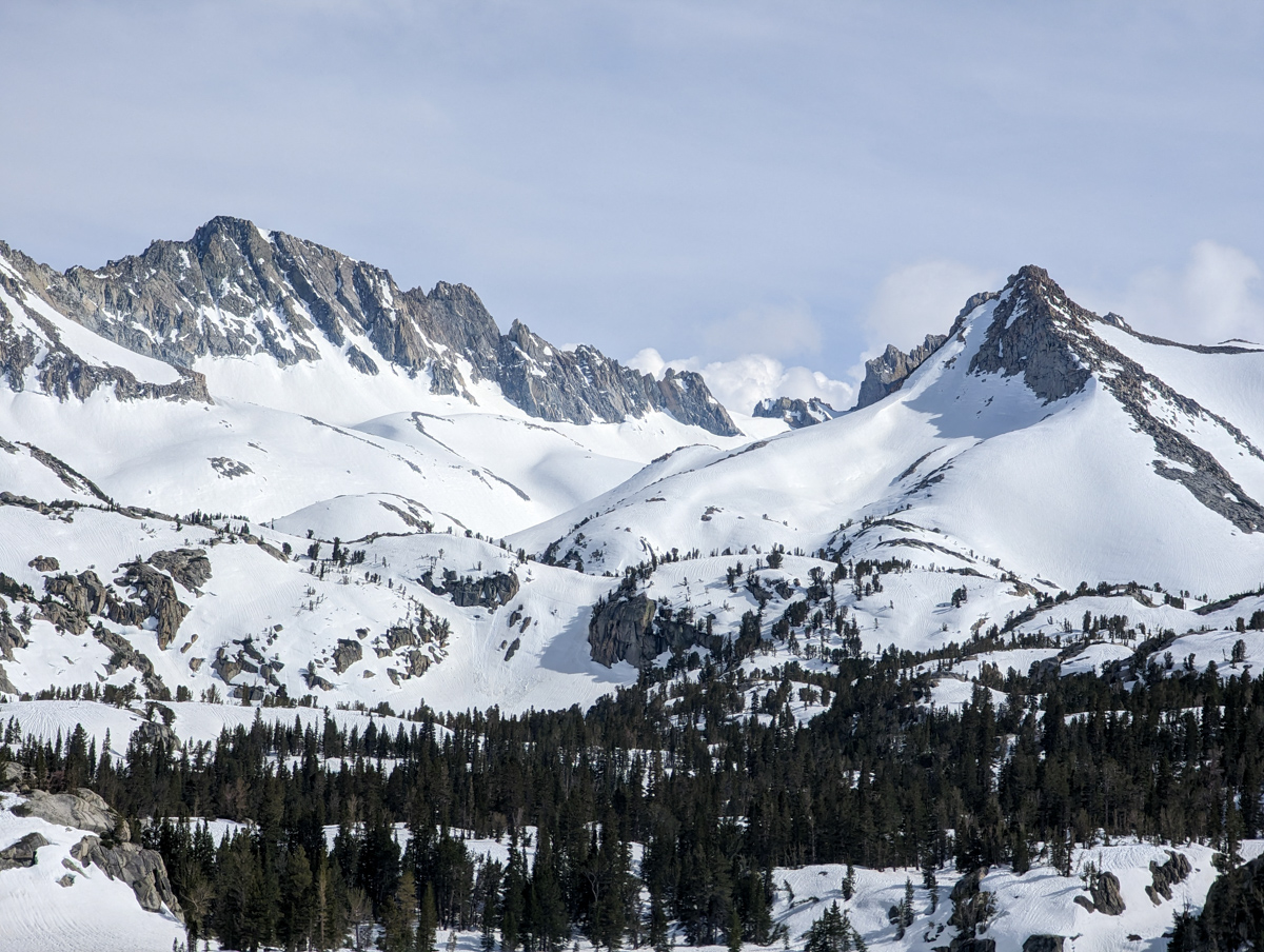
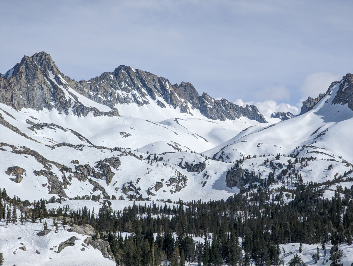
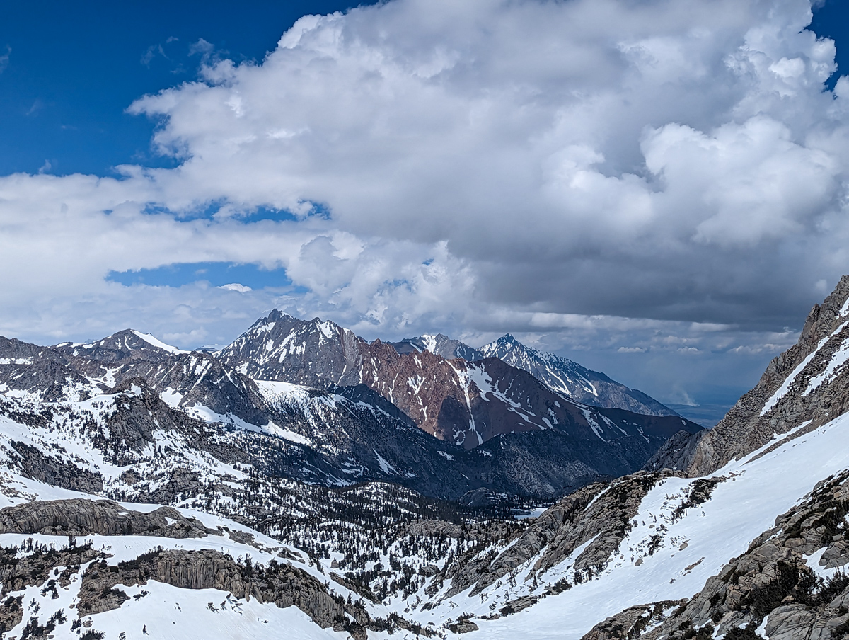
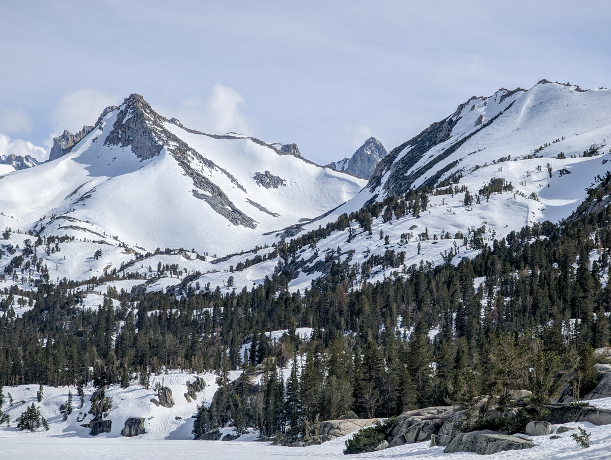
Ferociously gorgeous terrain.
Skins on/skins off, skis on/skis off, heel-risers up/heel-risers down, boot buckled/boots unbuckled, walk mode/ski mode – and that was both ways – both on the way up and the way down.
I was solo on this ski mountaineering adventure and I never saw another human being.
I think it was better this way.
Any sane person would have turned us around…
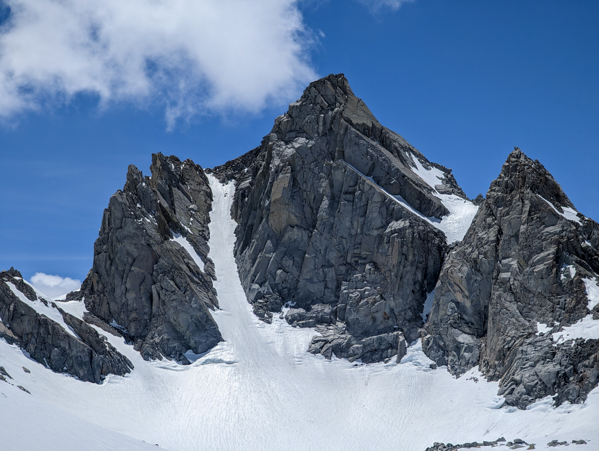
13,366′ Point Powell, CA – “Point Powell Couloir” Details
- Summit (actually a notch): 13,200′
- Car: 9,100′
- Vertical From Car: 4,100′
- Vertical skied: 1,500′
- Max Pitch: 38º
- Avg Pitch: 35º
- Aspect: Northeast
- Distance: 14-miles round trip
- Time From Car to Top: 6 hours & 40 minutes
- Car to Car Time: 10 hours & 12 minutes
- Recommended Equipment: Crampons, Ice Axe, Skins, Ski Crampons
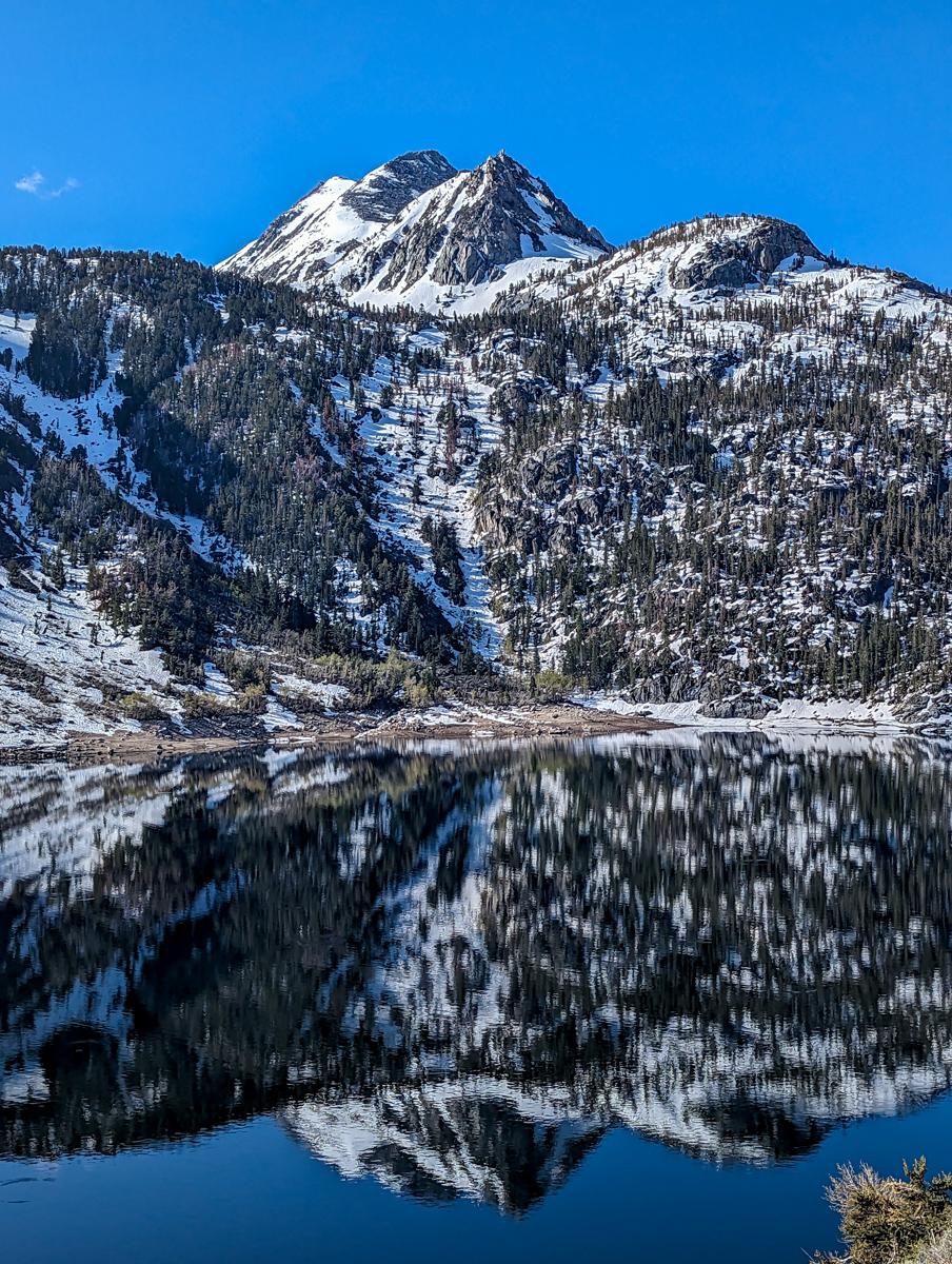
I started hiking at 8:11am in brilliant, warm sunshine.
I had to decide which side of the lake to go around and I arbitrarily chose the west side of the lake – mostly because it was in the sun and appeared to have less snow.
I scampered along in shoes with no difficulty until I reached the far side of the lake.
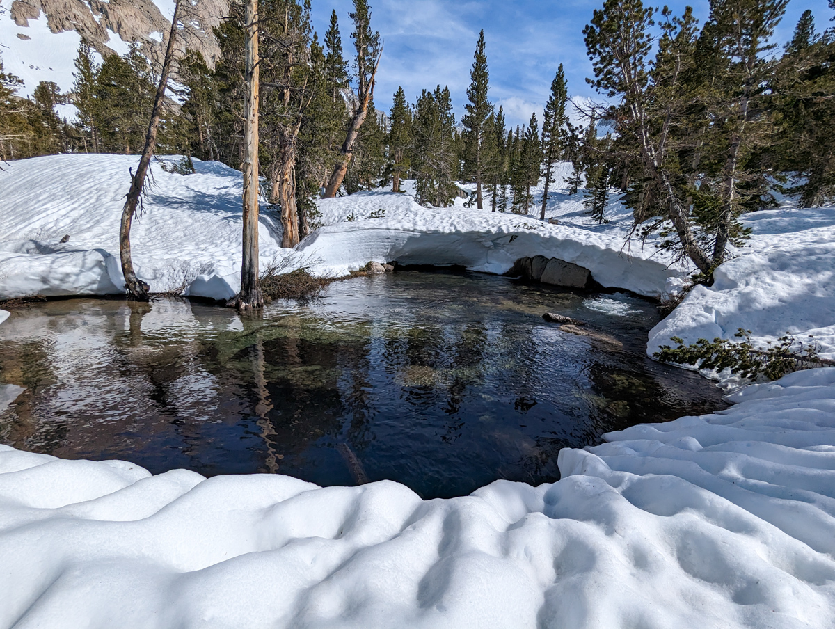
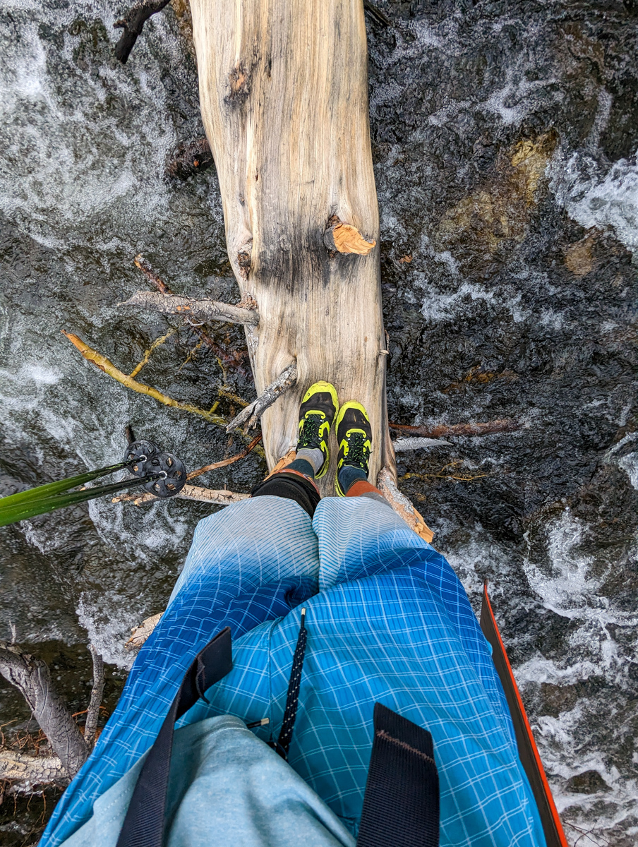
The trail disappeared into snow and I was forced the make a creek crossing on a freshly downed tree with a ton of branches and awkwardness.
Past that, I felt better but was already longingly eyeing the trail on the other side of the lake and how it looked smooth, had no creek crossing, and was at a higher elevation.
I quickly ended up on snow and switched to ski boots and skins.
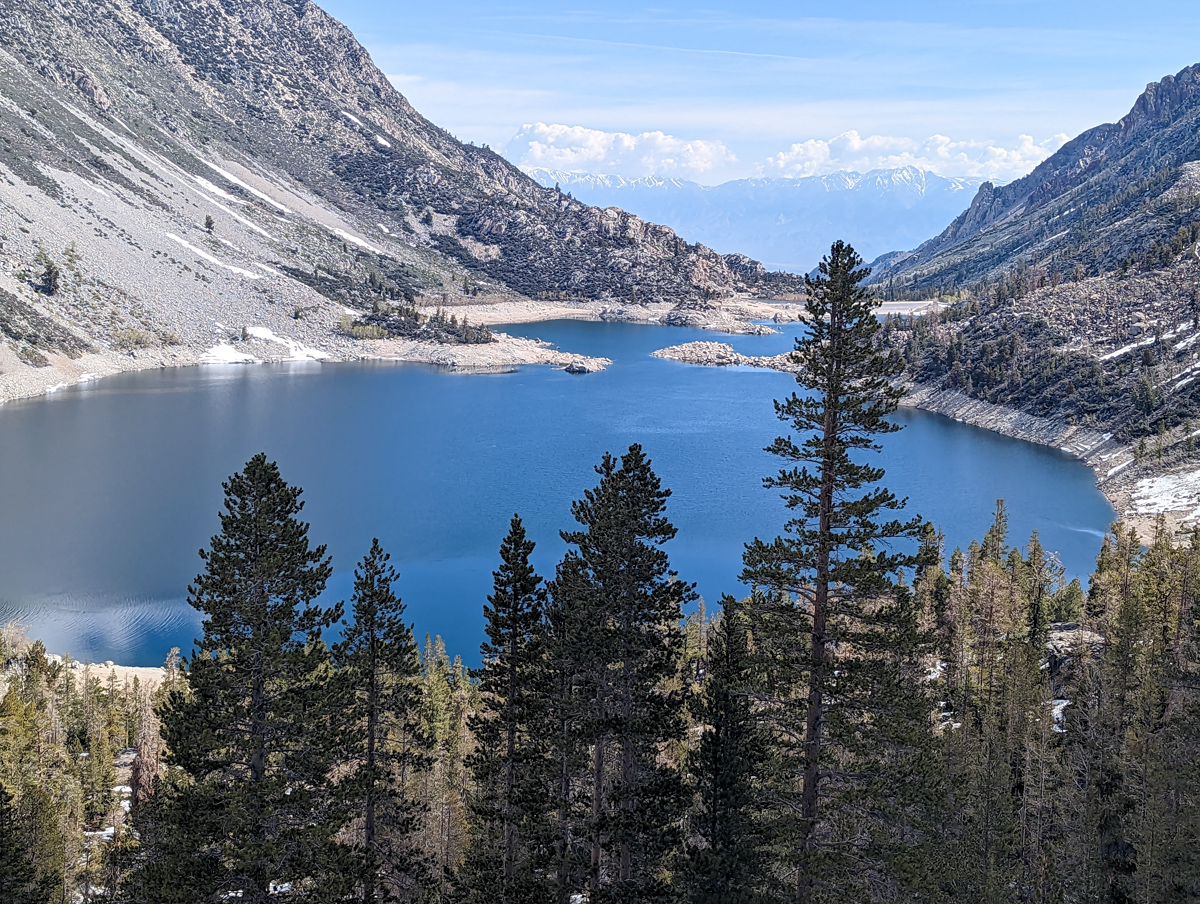
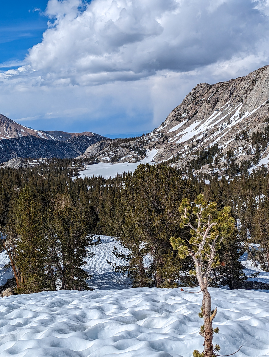
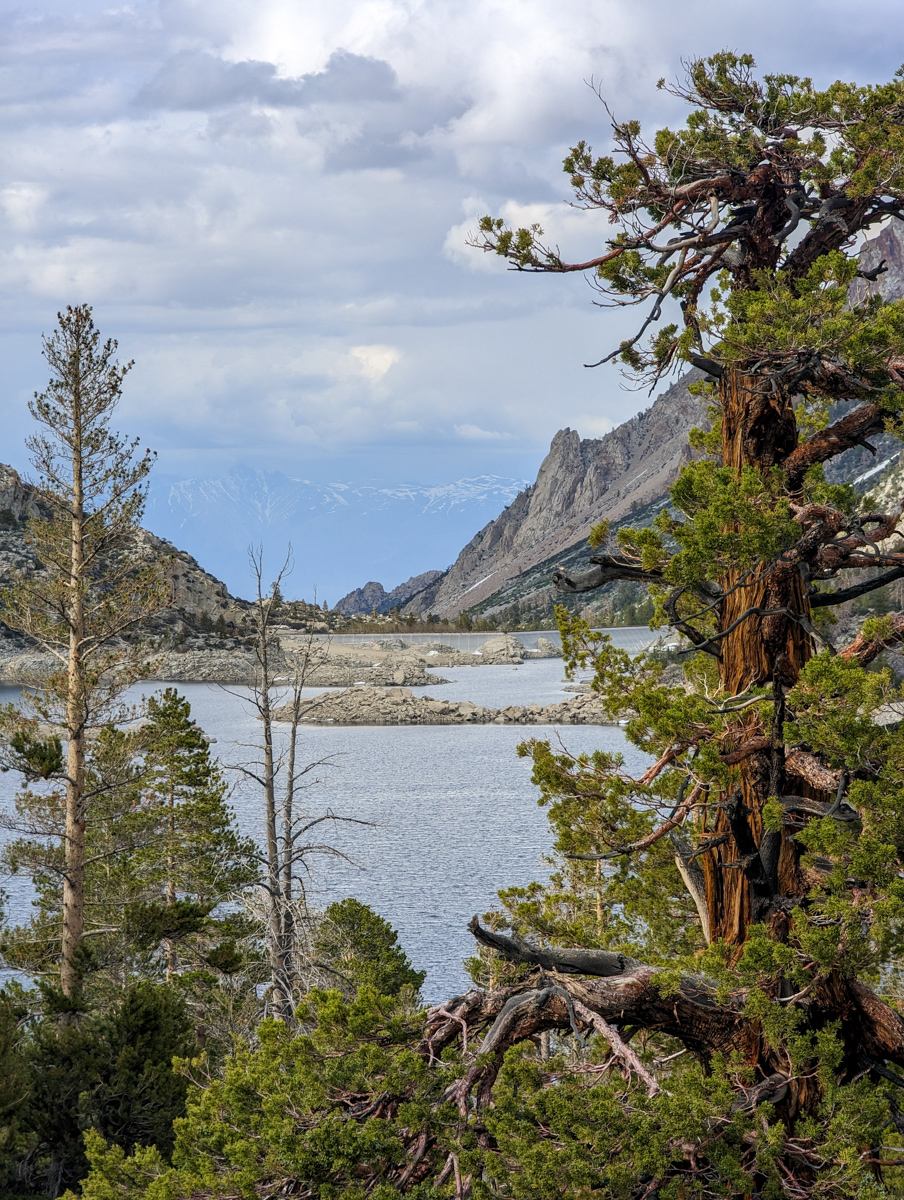
I followed a creek gully that was full of snow right up to Blue Lake.
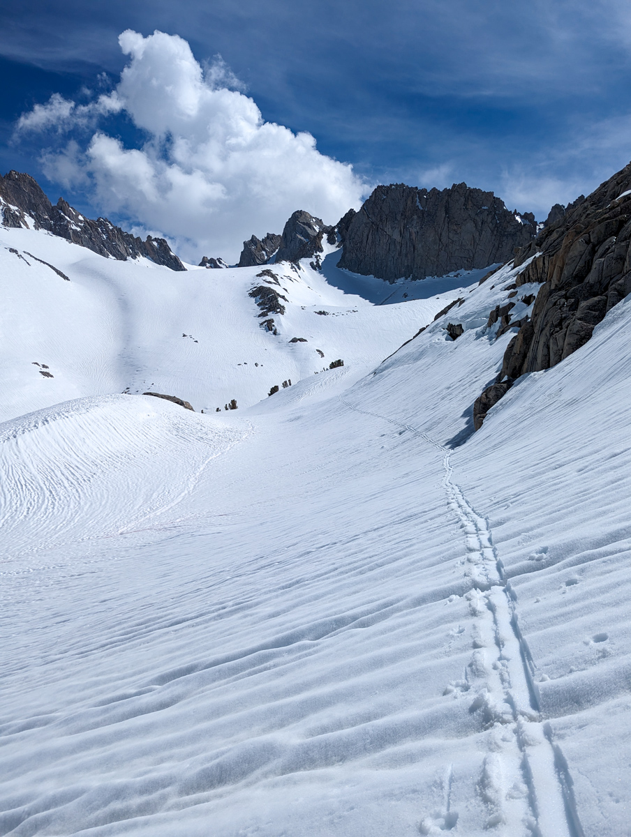
From Blue Lake, the terrain was challenging.
Up and down, left and right.
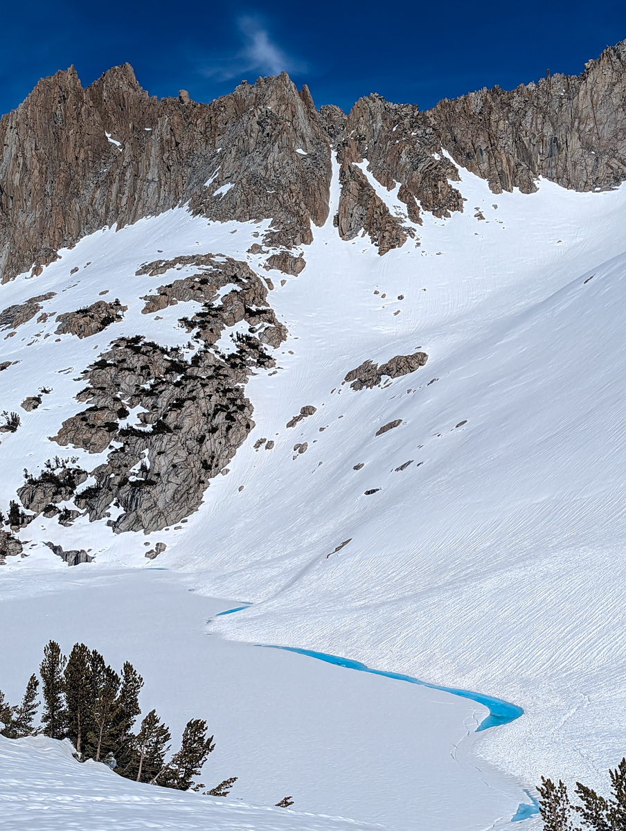
Complex, weird terrain.
The terrain just kept going and rolling on.
After 4 hours of hiking and being nowhere near the objective the day began to feel like a test.
I chose to honor the test and see if I could push through it all.
Lots of deep breathing, humor, unhinged focus, and trickery got me through.
I tricked myself into thinking:
“I’ll just go to the base of the couloir and have a look.”

In my mind, there was no way I’d have the energy to boot up the thing once finally there exhausted.
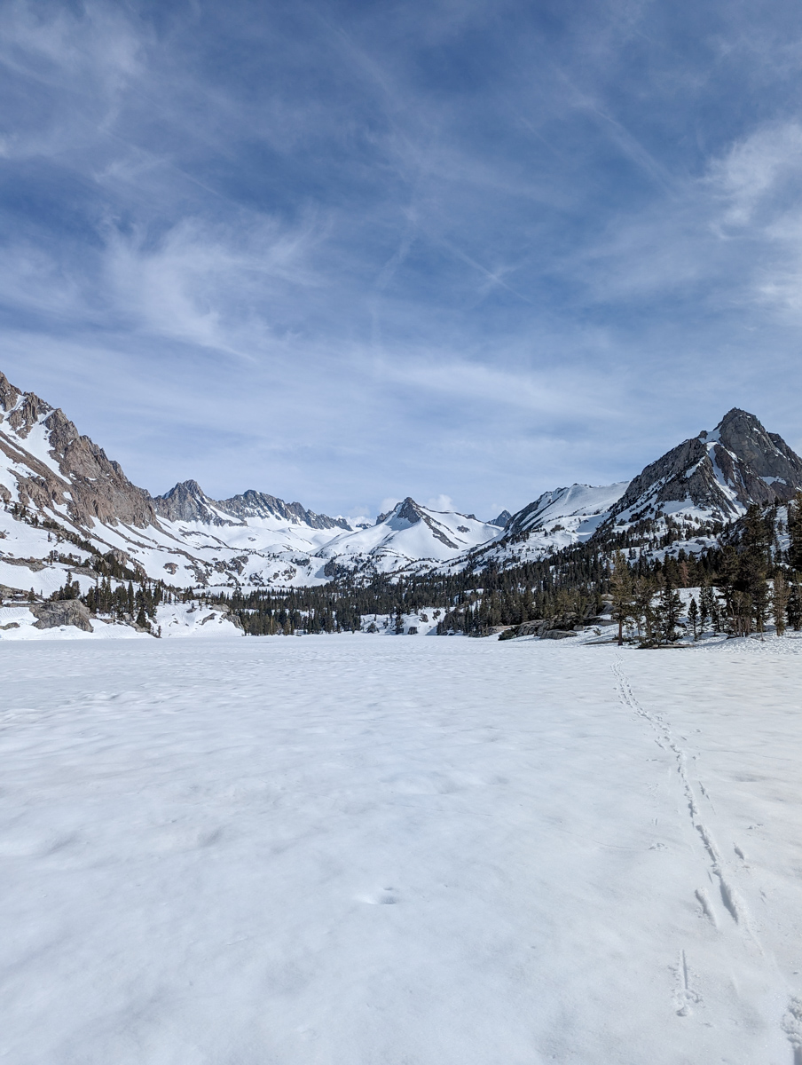
I knew I had to go up the valley from lake to lake to lake.
I was always one lake too low…
When I finally got to Sunset Lake, the last lake, I thought the chute was going to be directly above it.
I was heartbroken to see that the chute was yet another basin uphill from Sunset Lake…
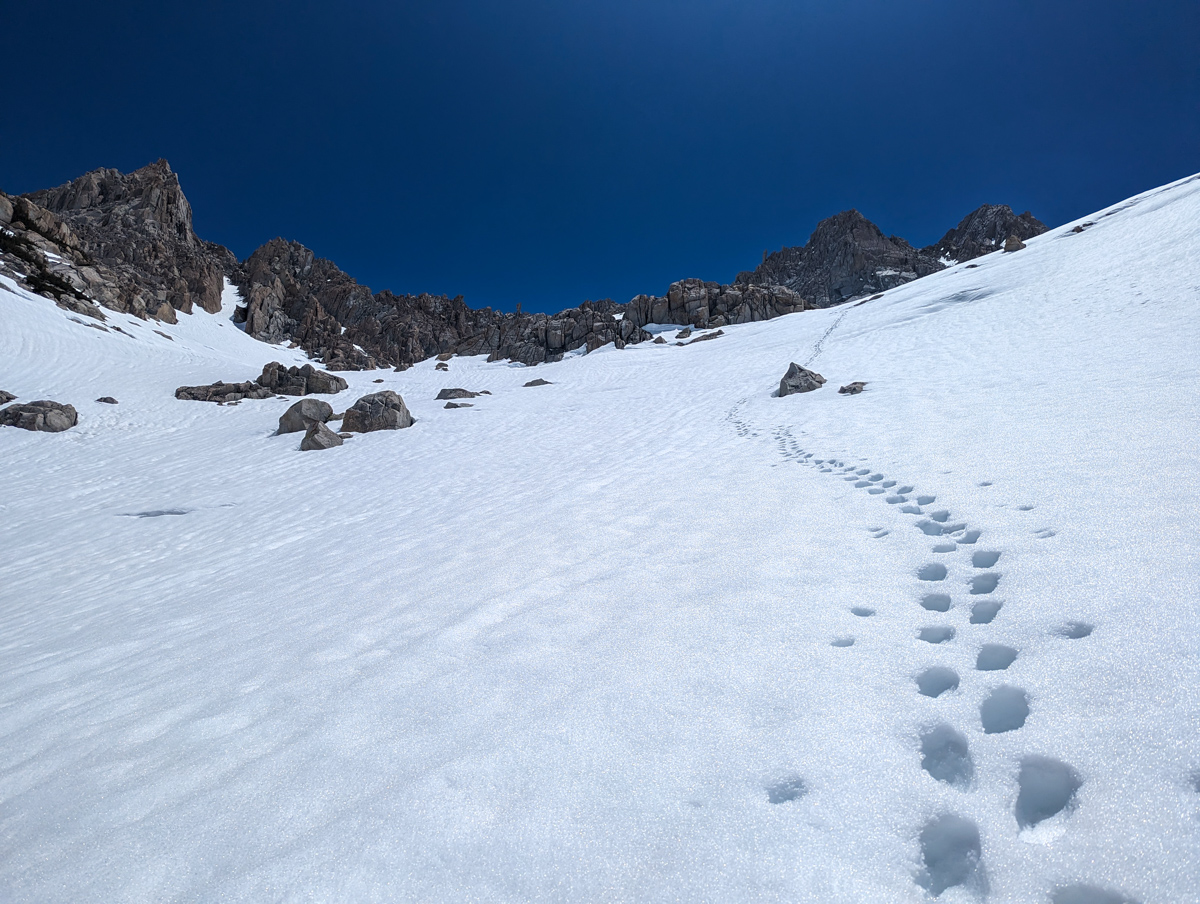
At Sunset Lake, there was a bootpack to nowhere.
I wasn’t sure what to do.
It looked cleaner to just skin up the drainage to the base of the peak but this booter went straight up and got me onto the shelf where the chute lived so I went for it.
The bootpack was great and it got me up quickly, but it likely wasn’t the right choice.
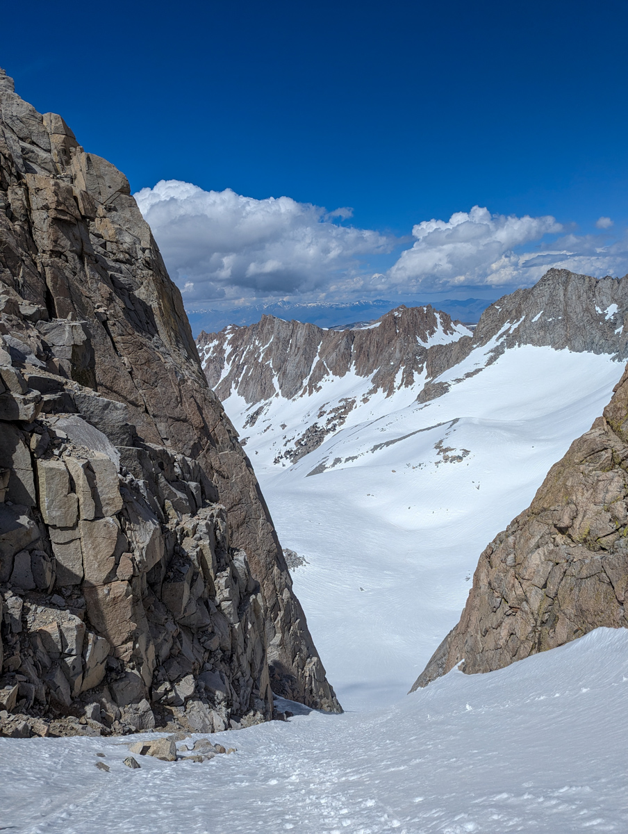
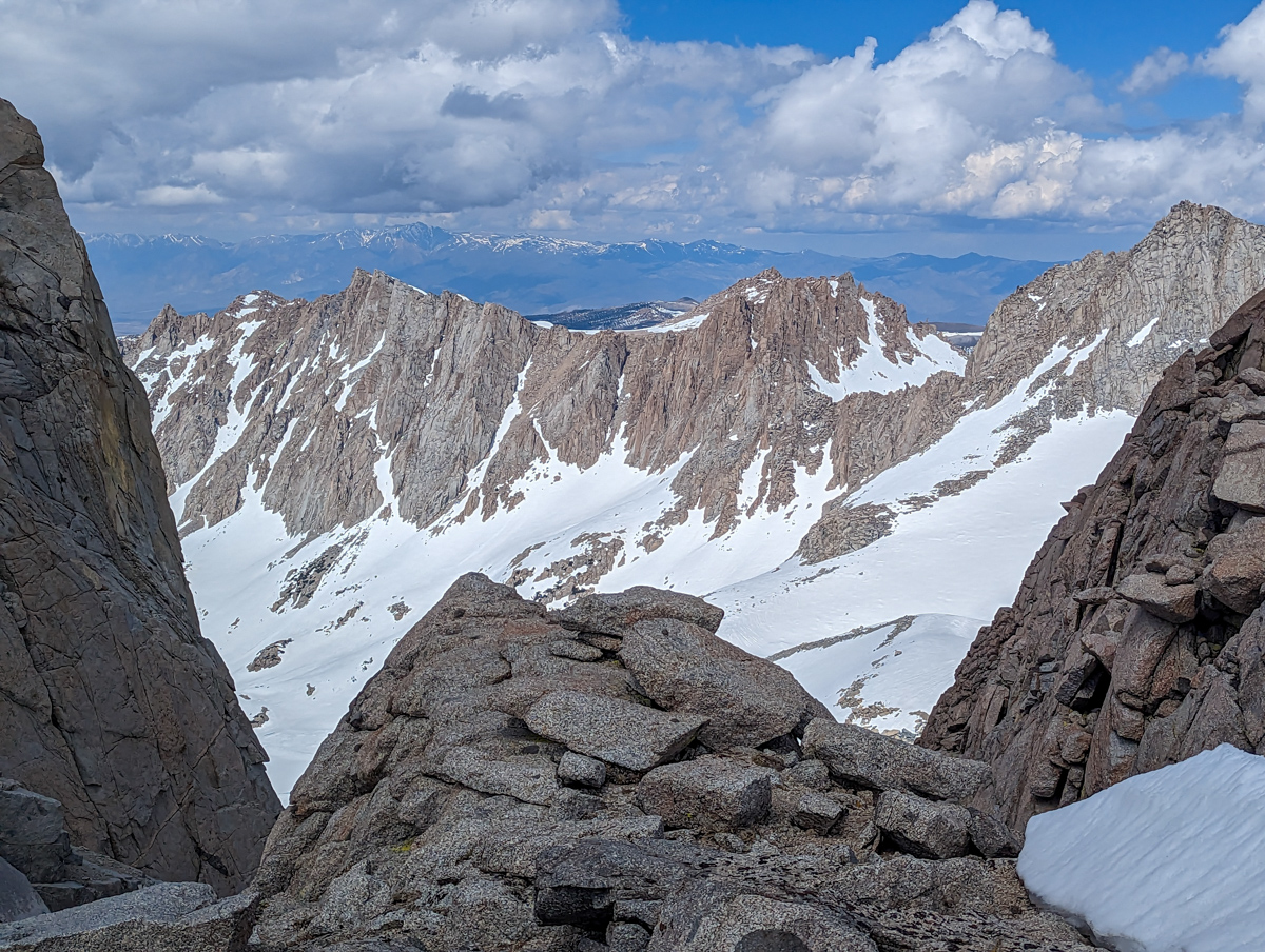
From the top of the booter, I skinned up and traversed toward Point Powell Couloir.
I ended up having to do a huge traverse around the bowl and I lost some elevation in the process.
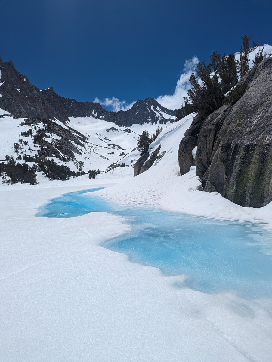
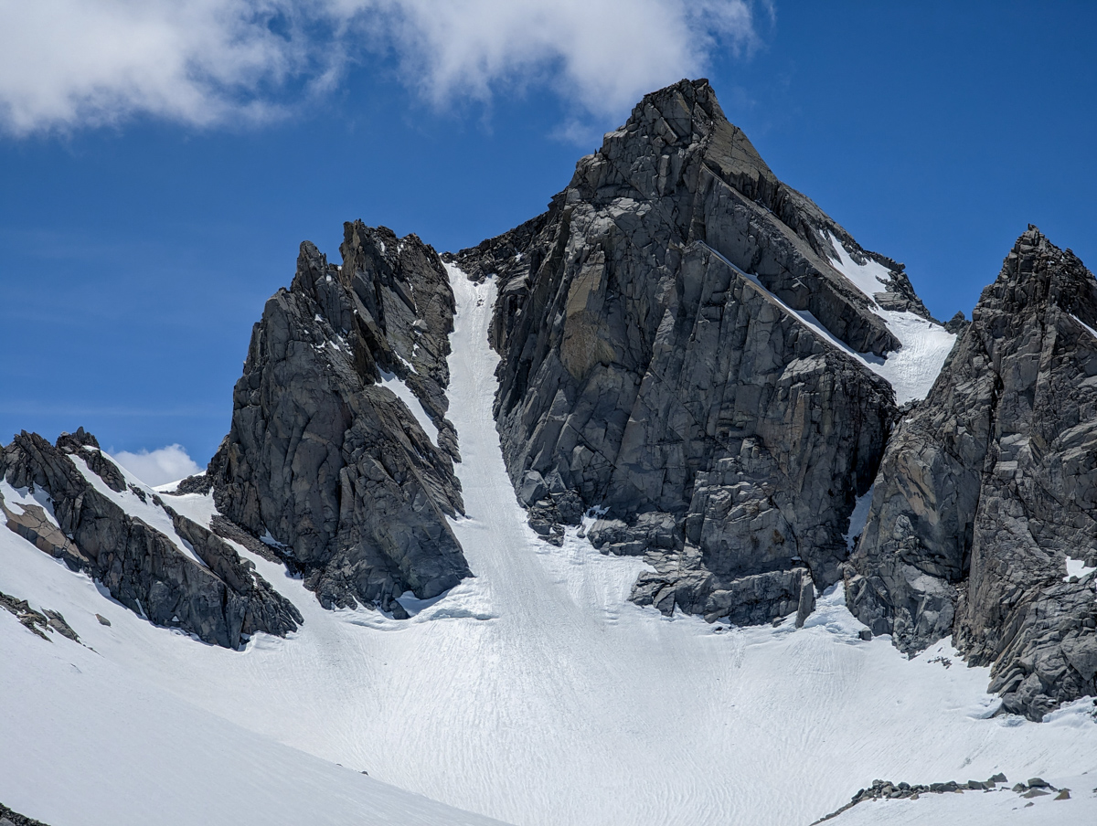
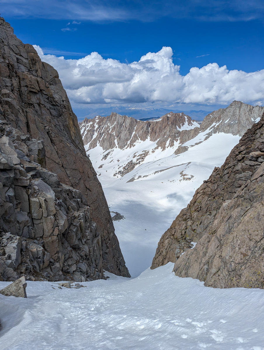
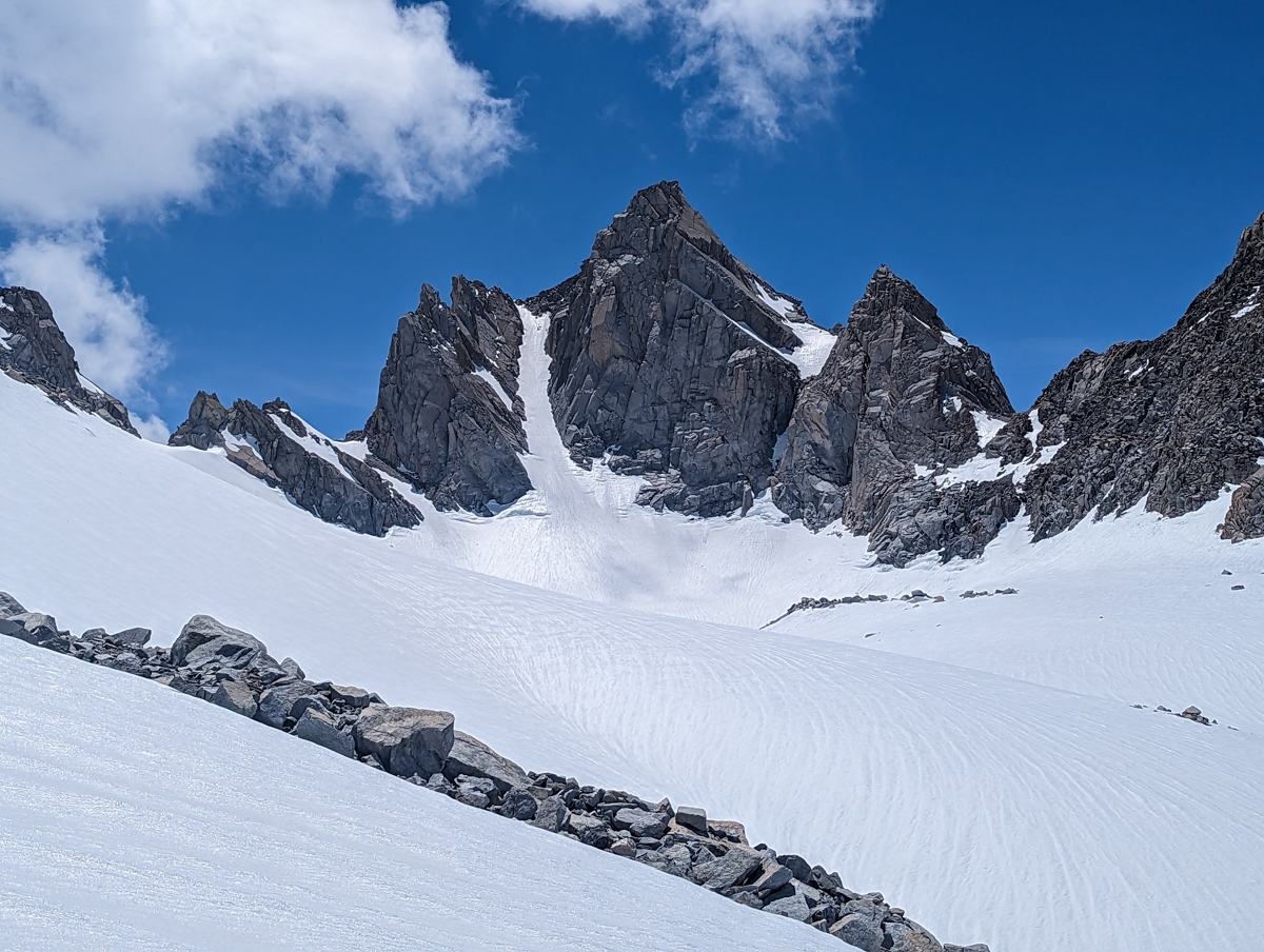
I was finally at the base of the chute and the snow was mush.
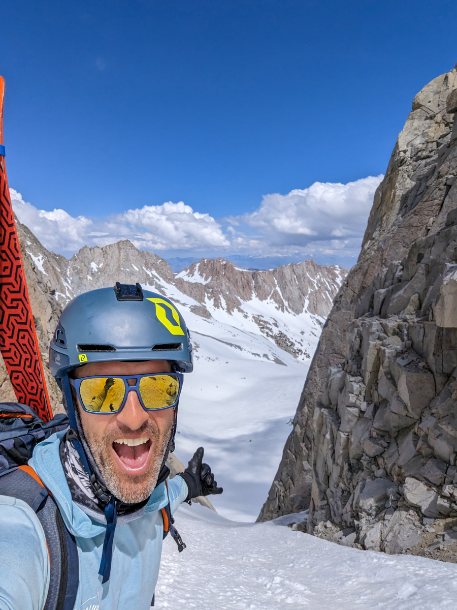
It was 2:12pm and I still hadn’t topped out.
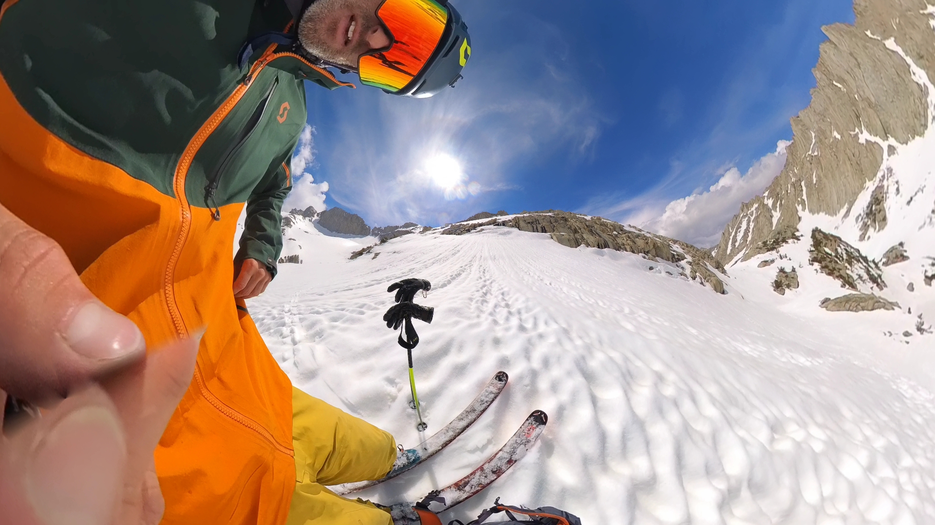
At the base of the chute, a deep fire burned inside me and I flew up the couloir in only 45-mins.
All day I kept remembering Todd Offenbacher’s saying:
“Don’t turn around until you get turned around.”
It took me 6 hours & 40 minutes to get to the top.
I was smoked.
I didn’t drop in until 3pm and we haven’t dropped in on anything past 1:30pm all spring.
I was tired nearly the entire hike.
I was worried the chute was going to be a sticky, isothermic mess but it fortunately skied great!
I slashed down the chute spraying corn snow into the walls and doing all I could to stay in the sun and out of the shadows.
The bottom 1/3 of the chute was all shadow, which I think was a big help because that’s where the snow had been the worst on the way up.
The shade had crispened up the corn and it skied well.
After about 30 turns, I cut left to ensure an easy exit out of the upper basin.
The slope down to Sunset Lake skied like a dream.
I could tell that the sun runnels had been filled in by the recent new snow making them smoother and more fun to ski.
I glided down past Sunset Lake and switched my mindset.
I knew from here out was going to be a battle.
Up and down and all around.
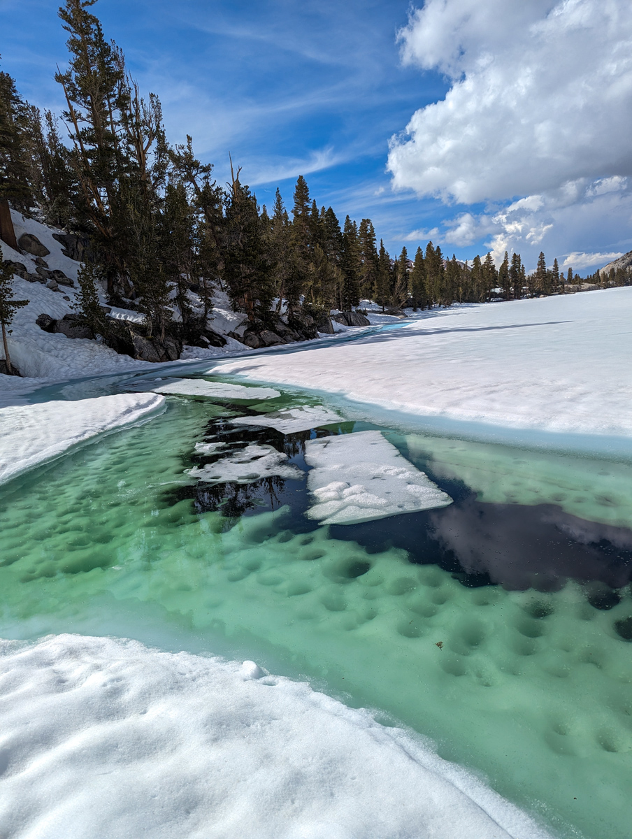
I luckily chose a pretty good line and was able to “cross-country ski” most of the flat lake basins without too much difficulty.
The key I learned was to simply hit the lakes and scoot right across them.
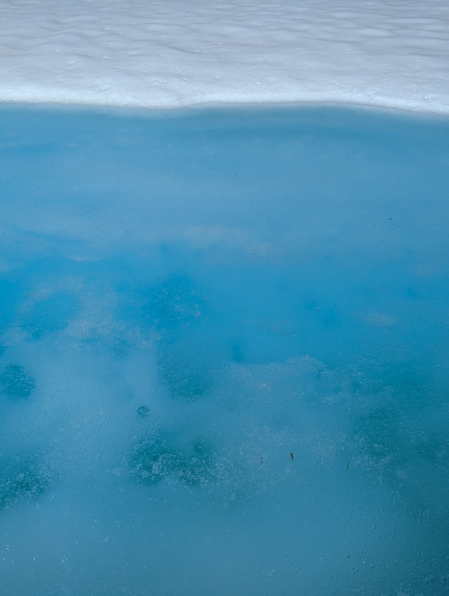
It felt weird to ski right across these frozen lakes in mid-June but the ice felt thick and strong and I glided across with confidence.
When I finally got to Blue Lake I started to feel some relief.
From Blue Lake, I was able to ski almost all the way down to Lake Sabrina.
I switched back to shoes and pranced between snow patches to the creek crossing.
I found a better log to cross then battled baby aspens back to the Sabrina Lake trail.
I found a rainbow trout in a stream about 2″ deep battling to move further upstream.
I tried to grab it just for fun and the fish ripped out of my hands and continued to fight the swift flow.
The lake trail felt like forever and I arrived back at my car 10 hours and 12 minutes after leaving it.
Despite all my doubts, I was able to push through and make it happen.
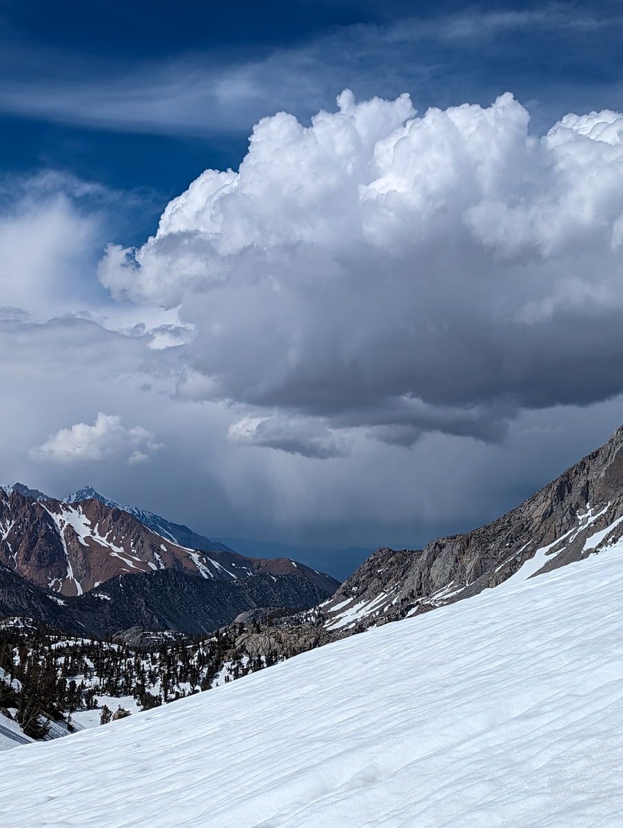
The forecast thunderstorms never materialized, my strength held out, recent snowfall filled in the suncups, my patched-up gear held together, the landscape was viciously beautiful, and the song in my head kept me smiling and singing.
That was a big day.
Thank you, California
SPRING 2023 REPORTS
- 6/8/23:Trip Report: 12,219′ Hurd Peak, CA – “North Face”
- 6/4/23:Trip Report: The Incredible Hulk, CA – “Hulk Left Couloir”
- 6/2/23: Trip Report: 13,187′ Basin Mountain – “Basin Couloir Alternate”
- 5/31/23: Trip Report: 12,808′ Four Gables, CA – “Tungstar Bowls”
- 5/27/23: Trip Report: 11,160′ Mt. Scowden – Lundy Canyon – “North Face Chute”
- 5/24/23: Sierra Nevada, CA Report: Skiing Through A Lava Tube Cave
- 5/24/23: Sierra Nevada, CA Surf Report: Shredding The Lazy River At High Flow
- 5/23/23: Trip Report: 13,118′ Mt. Emerson – The 45º Steep “North Couloir”
- 5/20/23: Trip Report: 12,200′ Mt. Esha, CA – “2nd Chute”
- 5/18/23: Trip Report: McGee Creek Peak, CA – 2,800-Vertical-Foot “Wineglass Couloir”
- 5/16/23:Trip Report: 10,908′ Carson Peak, CA – 45º Steep “Pete’s Dream”
- 5/5/15/23: Trip Report: 11,812′ Mt. Laurel, CA – 3,500-Vertical-Foot “Pinner Couloir”
- 5/10/23: Trip Report: 13,005′ Mt. Morgan, CA – Nevahbe Ridge Gullies
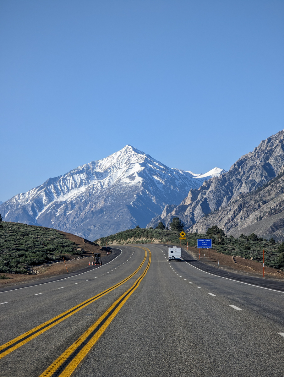
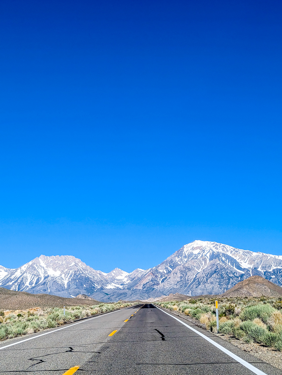
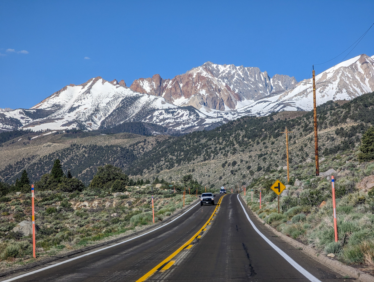
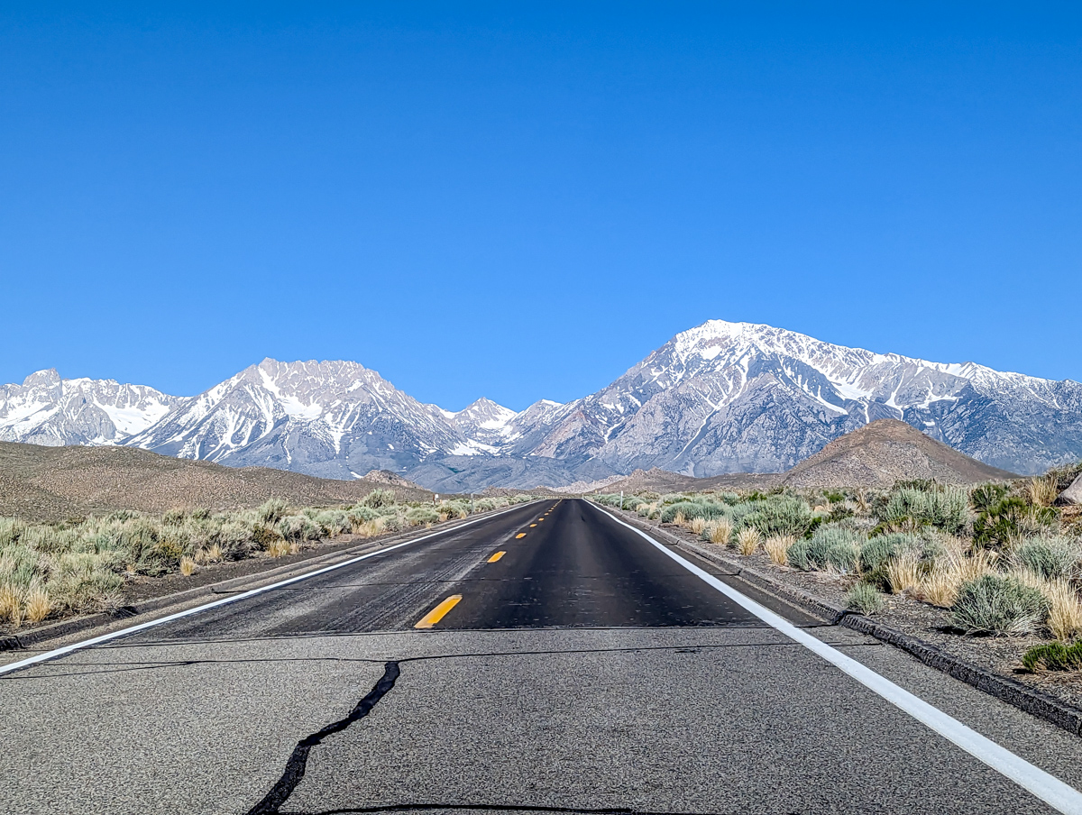
PHOTOS IN CHRONOLOGICAL ORDER