Report from June 20, 2023
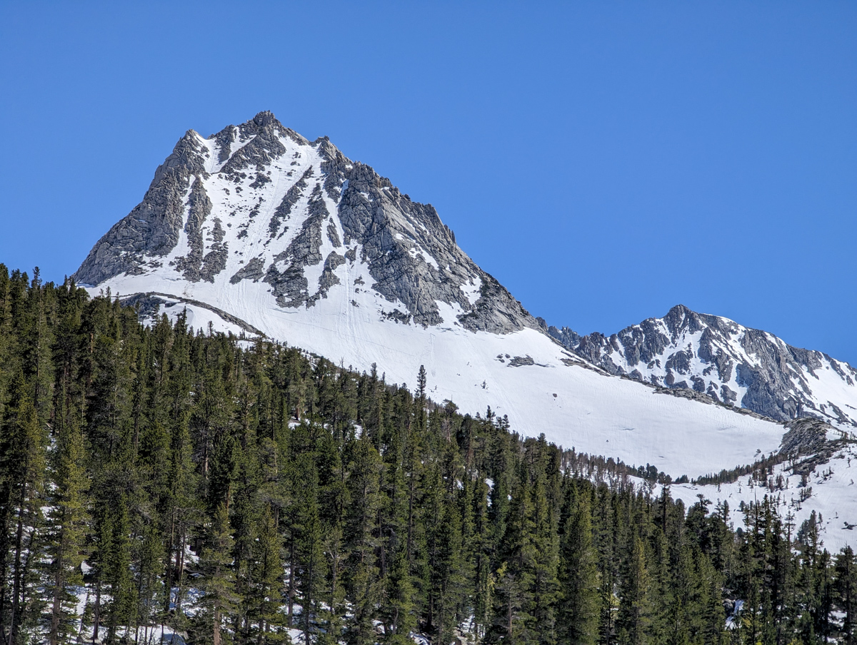
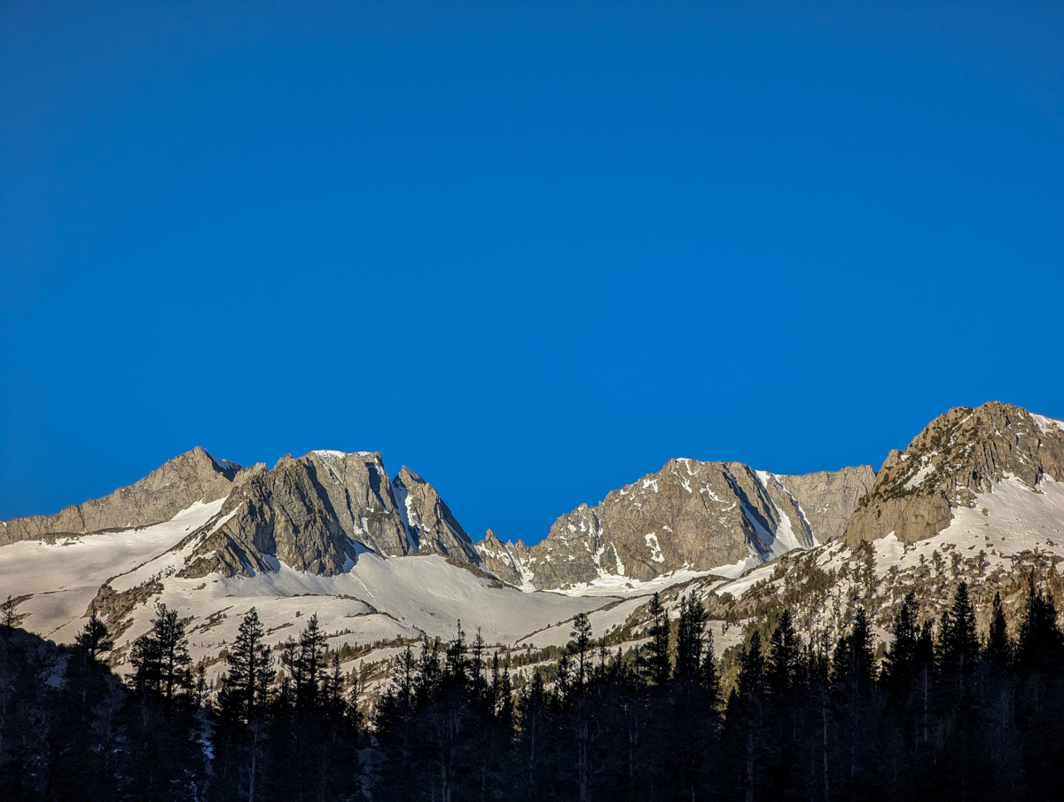
13,494′ Mt. Thompson, CA’s “Trident Couloirs” scared the crap out of me yesterday!
I thought about turning around at breakfast at 4 am, on the drive down, immediately upon hitting South Lake, near Treasure Lake, at the bench below Thompson, and even halfway up the Couloir, where I considered down climbing.
Anxiety shadowed my every thought.
Even in the chute (on the way up) that was too firm, I told myself, “No problem, I’ll just wait on top for an hour for it to soften.”
None of it worked. It never got soft, and I was forced to ski with two whippets (ice axe ski poles) and throw double pole plant Chamonix turns down a 45° bulletproof chute that was a no-fall zone.
Exhilarating, to say the least… Maybe the most scared I’ve been on skis all season?
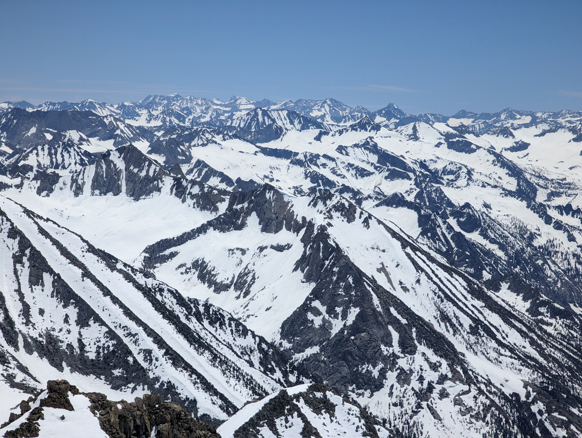
We’ve done 15 “new-to-us” ski mountaineering lines here in the Eastern Sierra since May 10, and we plan to complete five more before the sun cups get horrendous in July.
What an adventure yesterday was!
I am feeling very grateful today.
13,494 Mt. Thompson, CA – “Trident Couloirs” Details
- Summit (actually a ridgeline): 13,200′
- Car: 9,400′
- Vertical From Car: 4,000′ (some up and down)
- Vertical skied: 1,000′ in the chute
- Max Pitch: 45º
- Avg Pitch: 40º
- Aspect: North
- Distance: 11.5 miles round trip
- Time From Car to Top: 6 hours (about 2 hours of waiting for the snow to soften)
- Car to Car Time: 9 hours & 18 minutes
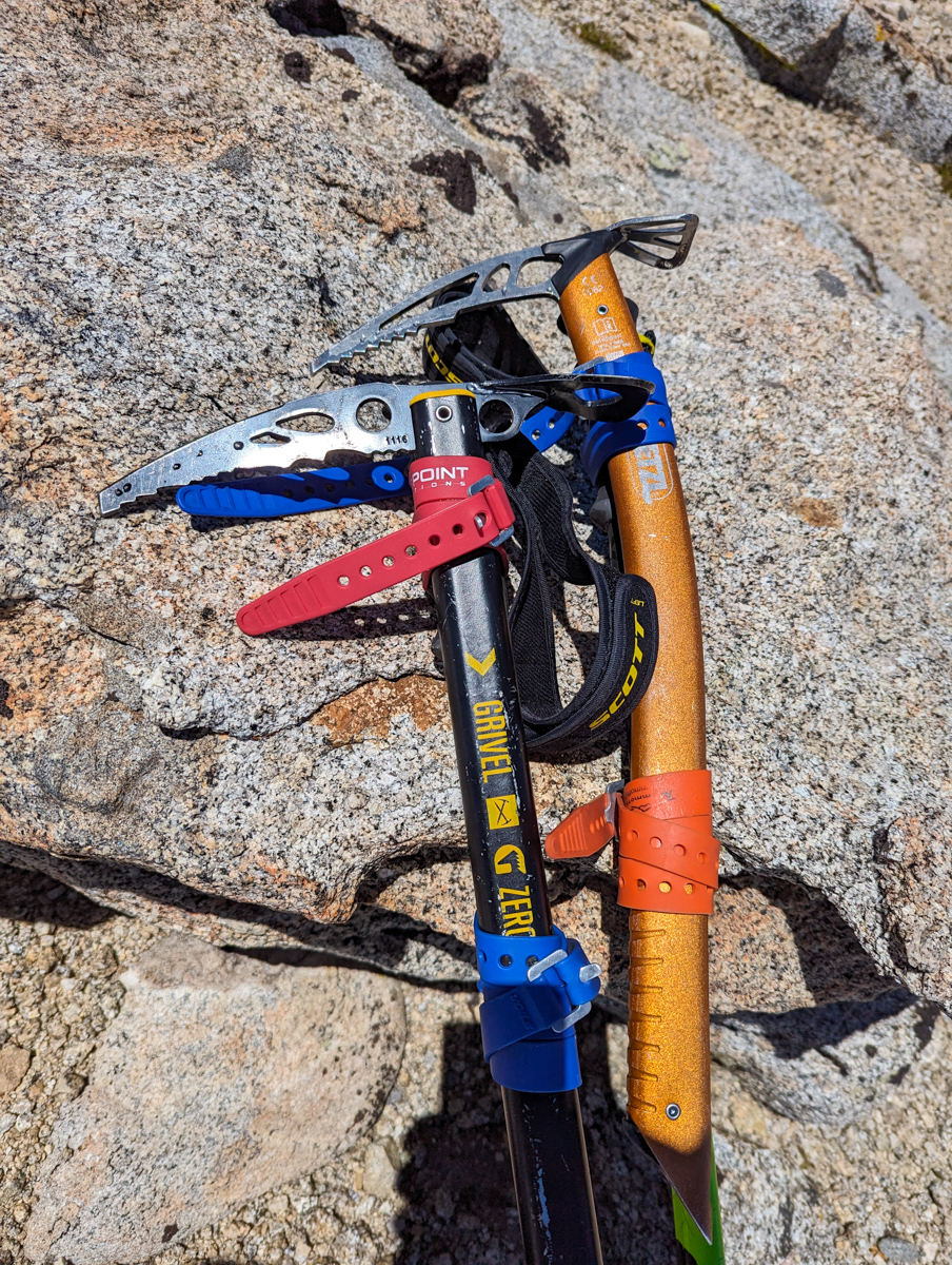
- Recommended Equipment: Crampons, Ice Axe x 2, Skins, Ski Crampons
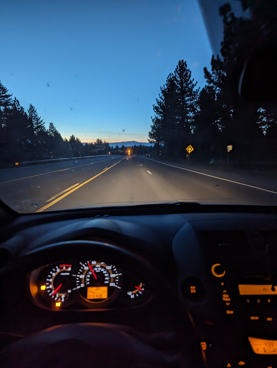
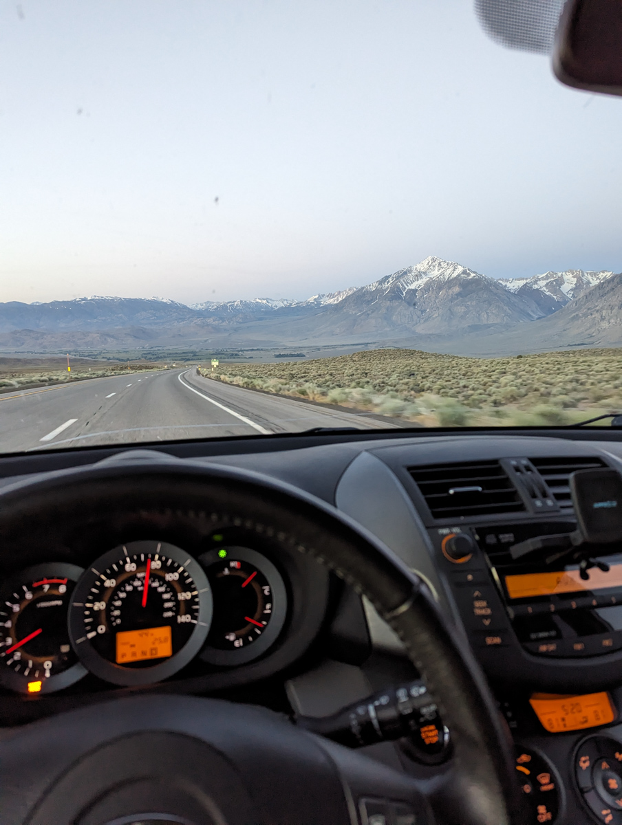
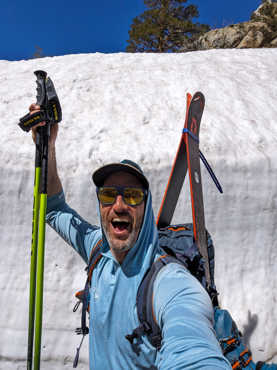
Up at 4 am.
Solo.
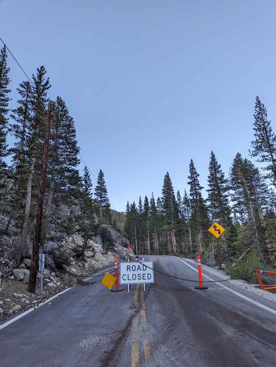
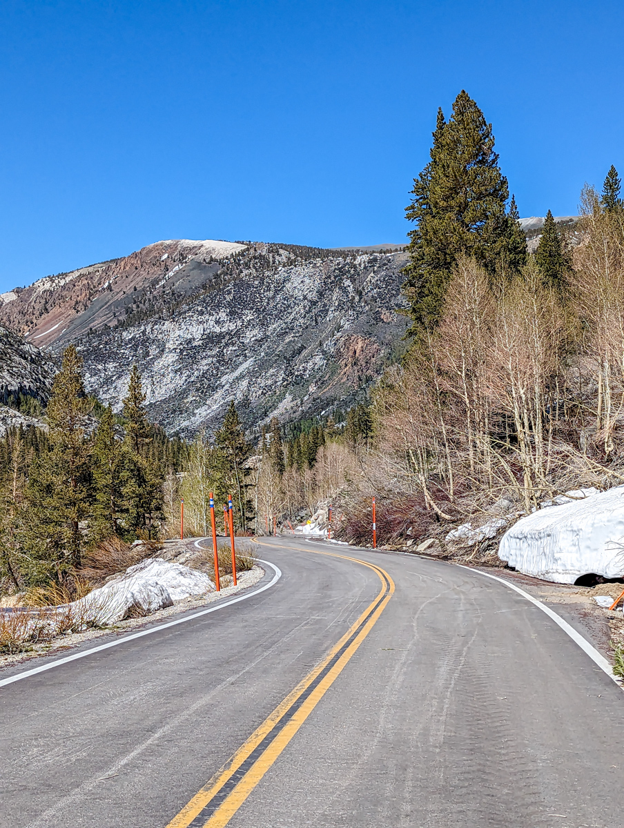
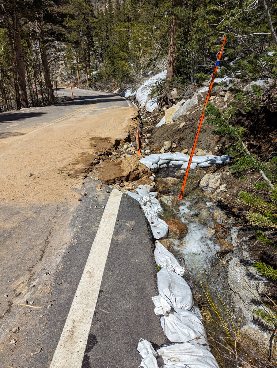
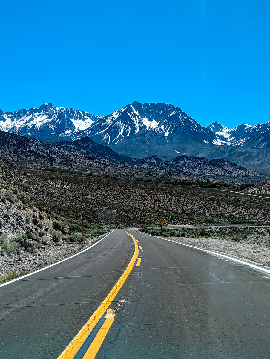
Hiking by 6 am from Parchers Resort, about 1.3 miles short of South Lake (the road is still closed there).
I felt chipper.
No, that’s a lie…
I felt anxiety.
All morning and the night before, I’d been doing calculations in my head.
Was it going to soften up in that chute on Thompson?
Was it?
Was it!?
I had only ski mountaineered one day in the past 11 due to bad weather, and I was itching to get out.
I likely should have waited another day.
Or two?
Or a week?
But then, would the chute melt out?
Would the sun cups be too heinous?
Needless to say, many factors were running through my decision.
I decided to go for it and hope for no wind.
As soon as I stepped out of my car, I could feel it was windy.
Damn!
I saddled up anyway.
The guidebook says to go around the north side of the lake, so I crossed the dam.
As soon as I stepped off the dam, I realized it was a bad route.
No snow, no trail, all jagged rock.
I recrossed the damn and used the same route we’d used for Hurd Peak and Mt. Johnson earlier in the month.
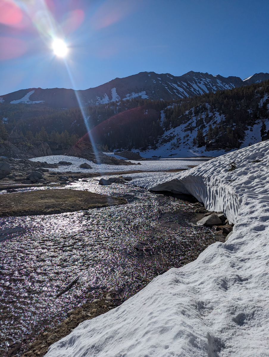
When I got to the end of the lake, I decided to follow the books route (not the common sense route I’d devised), and I crossed about seven streams.
I used the “flow like ninja” technique we use crossing streams in Japan (buckle your boots tight, run across the stream stomping straight down as hard as you can).
It worked great.
Both of my big toes got a little wet, and that was it.
And some of the streams were about 10″ deep.
Once back on the guidebook route, I struggled.
It was a lousy route.
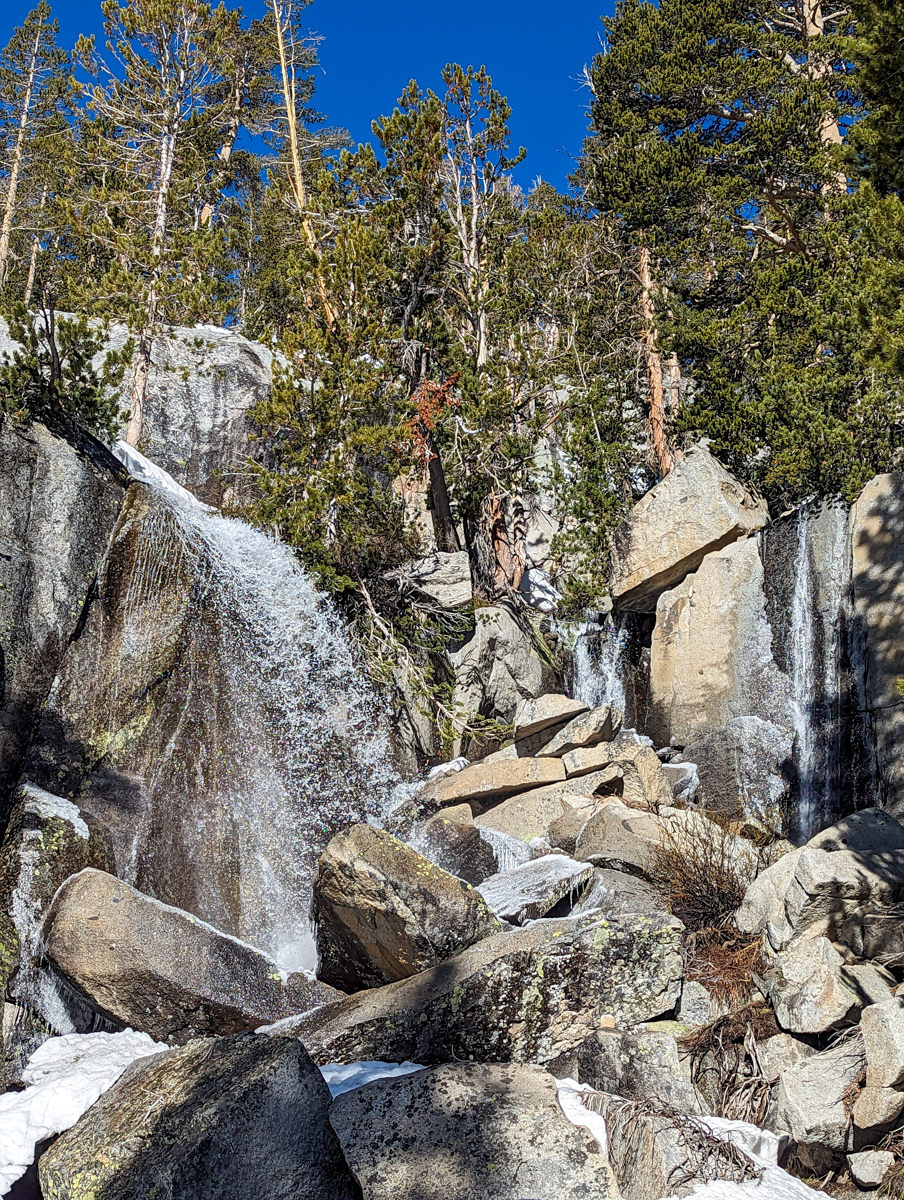
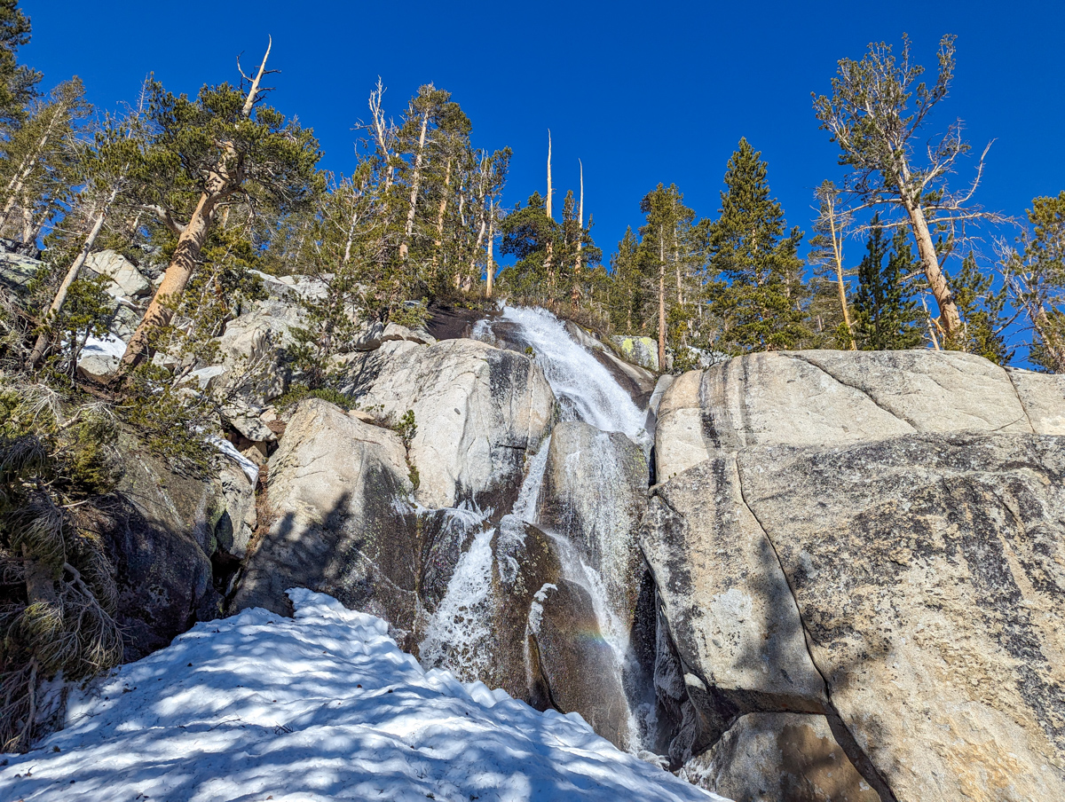
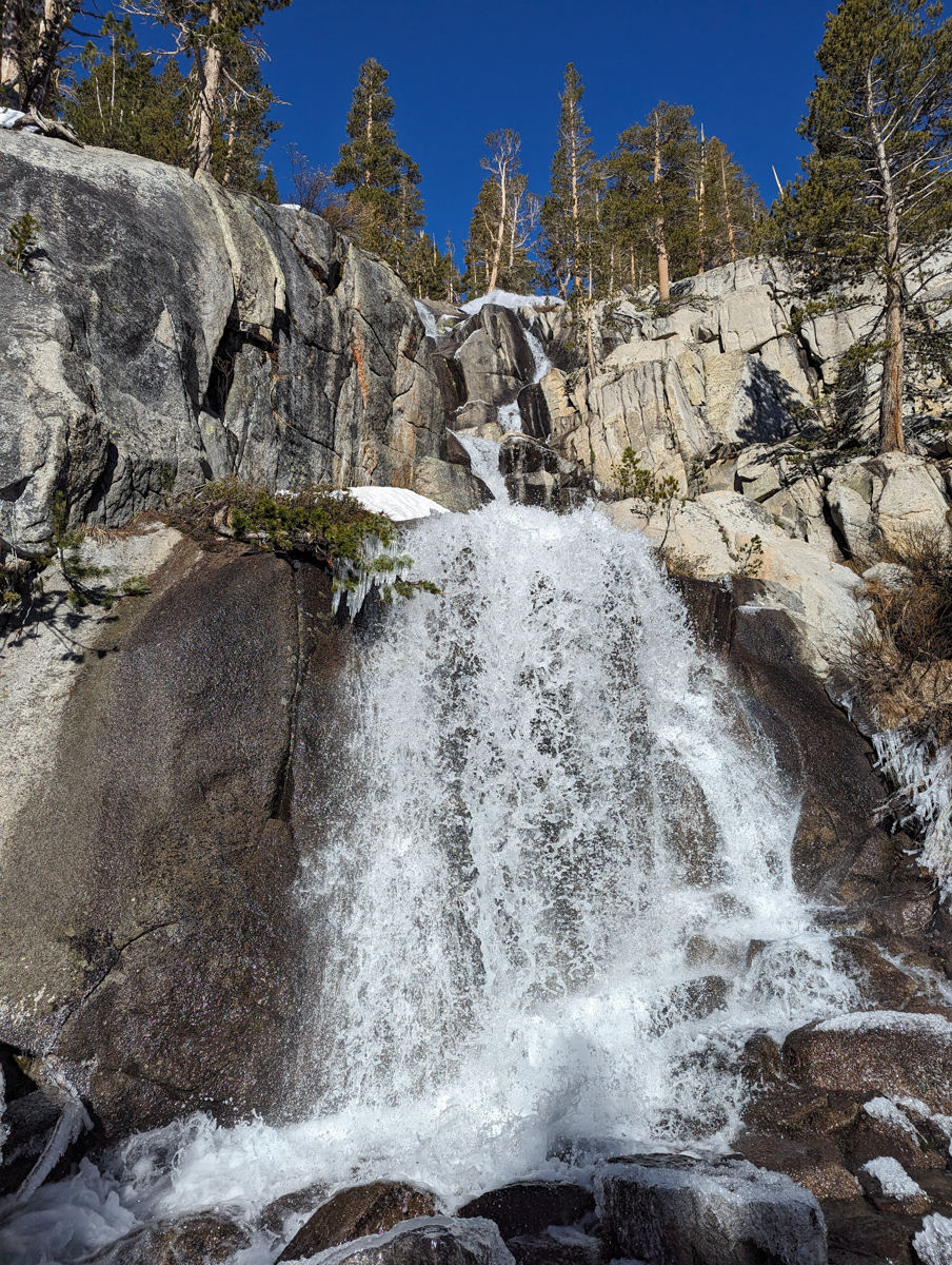
Straight up a mountainside, and at times it wanted me to go directly up vertical waterfalls.
The bad part was that I had to scramble up a mountain instead of my other gentle skin to a lake route.
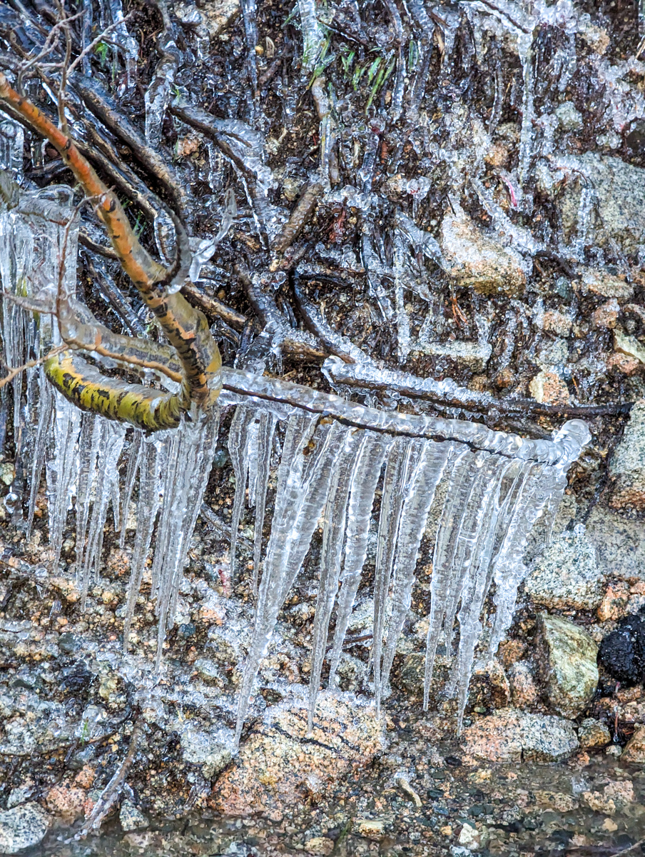
The boog part was that I saw some breathtaking waterfalls that likely very few have seen, as they clearly need a record snow year to run.
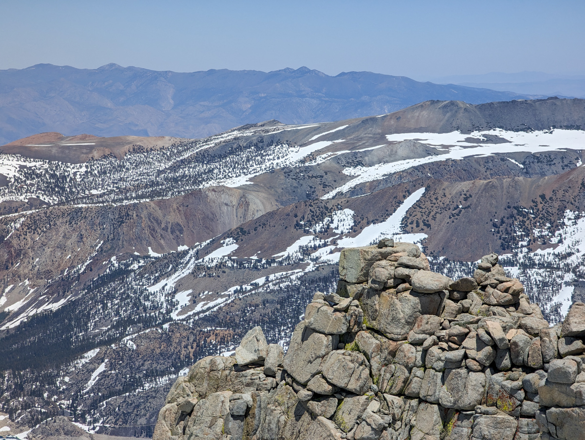
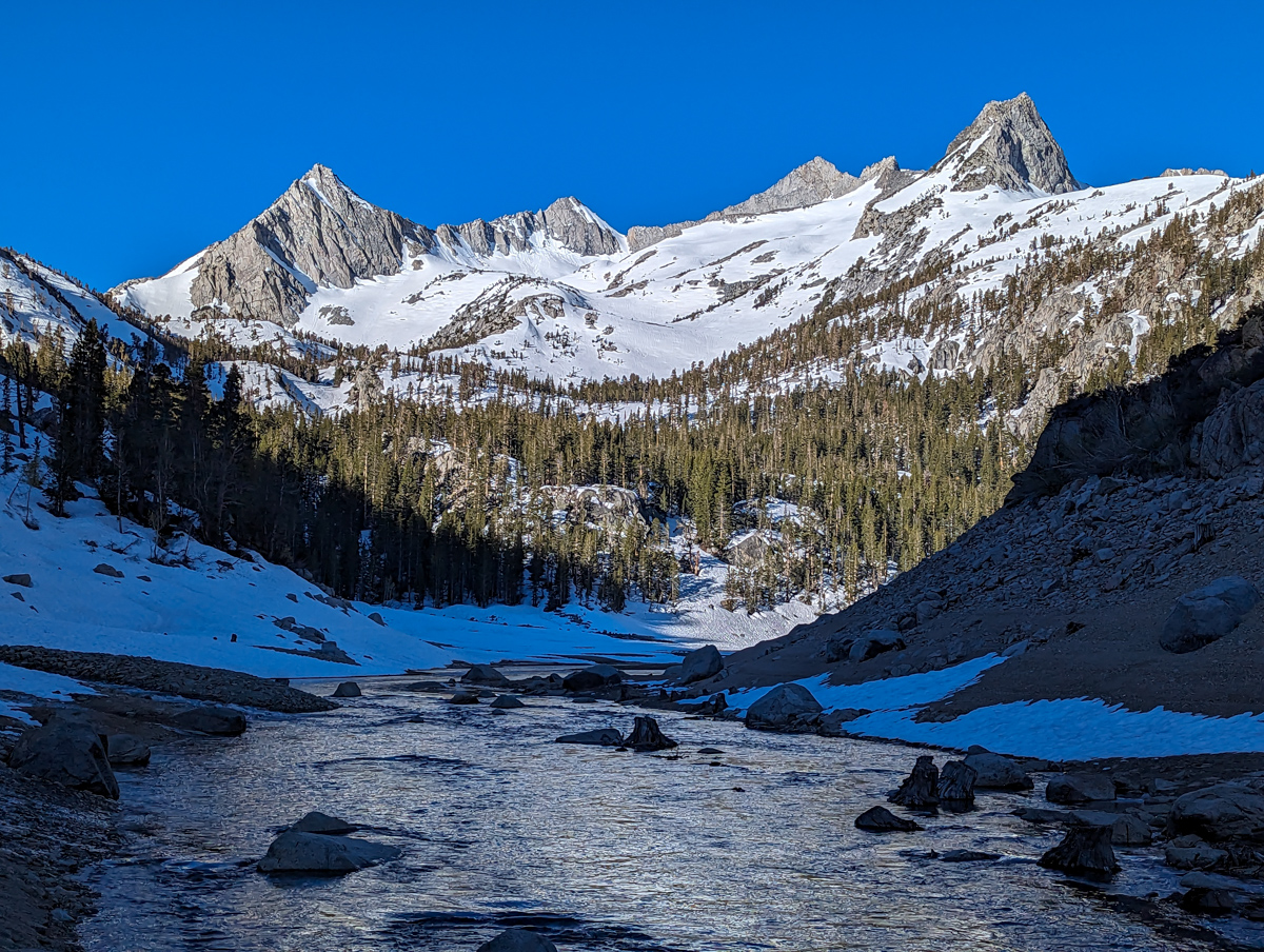
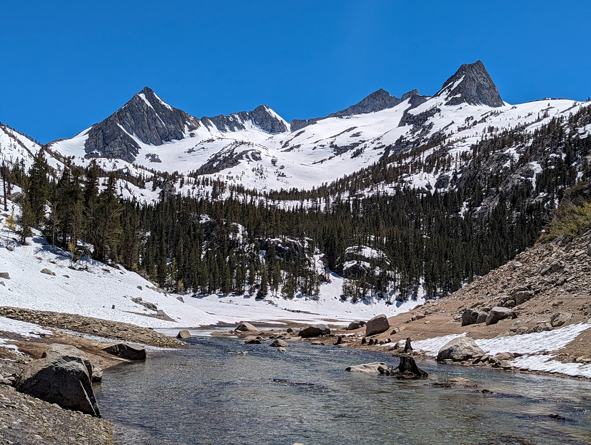
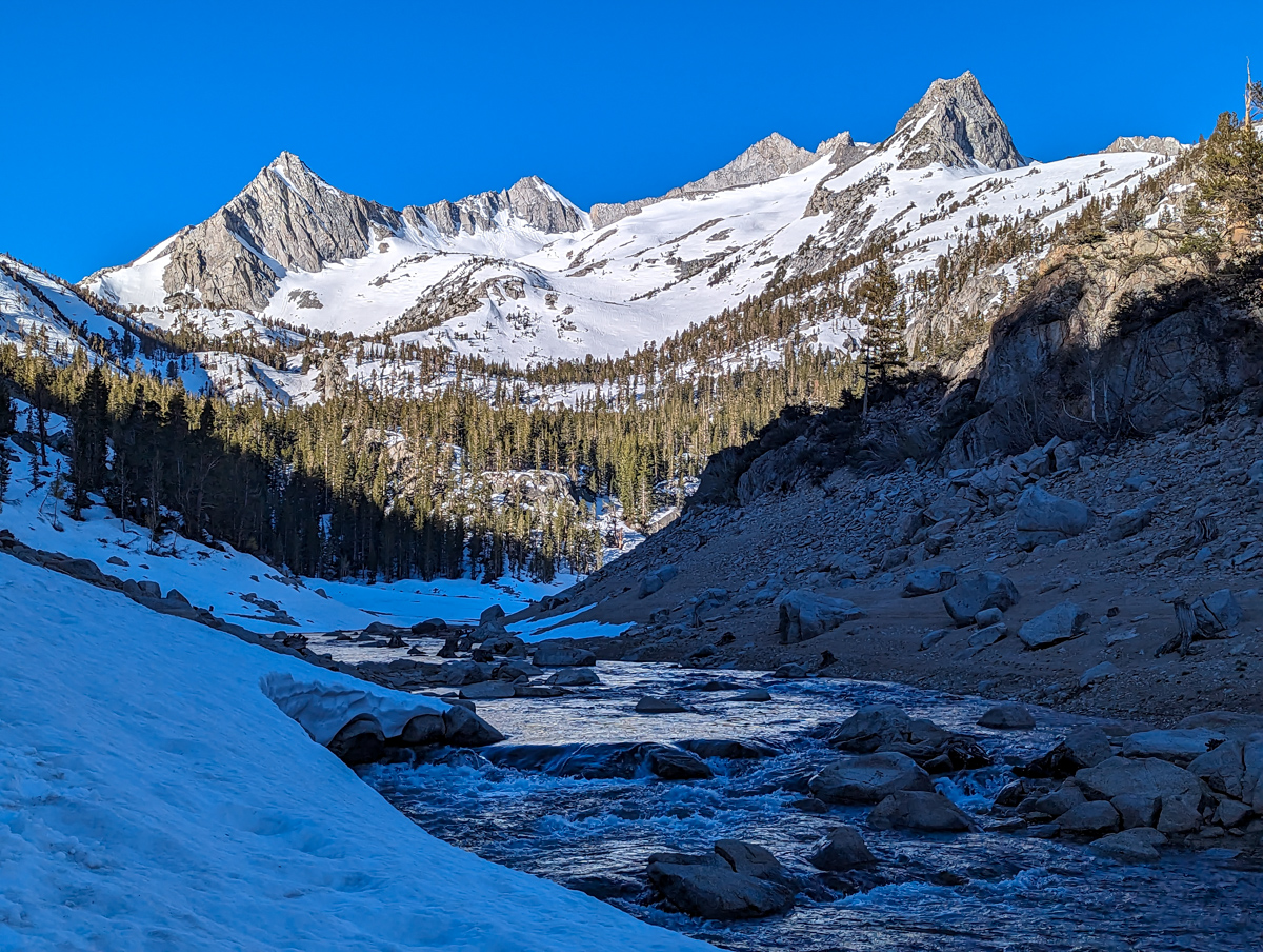
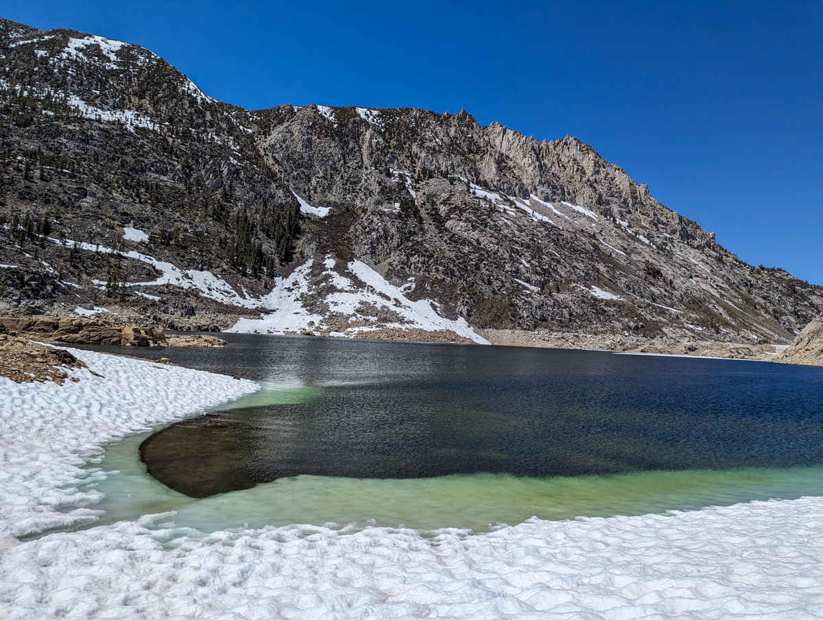
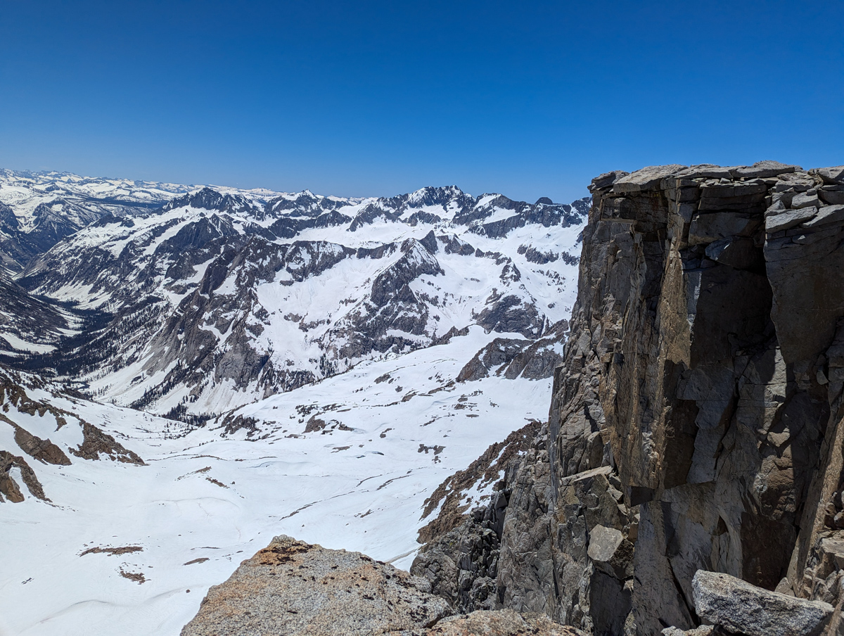
I eventually stumbled past the waterfalls and onto the large basin below Mt. Gilbert & Mt. Thompson.
The snow was still bulletproof…
The wind was howling.
I found shelter behind a large rock and killed an hour anxiously waiting.
Waiting for the snow to soften.
It did a little in the spot I was chilling.
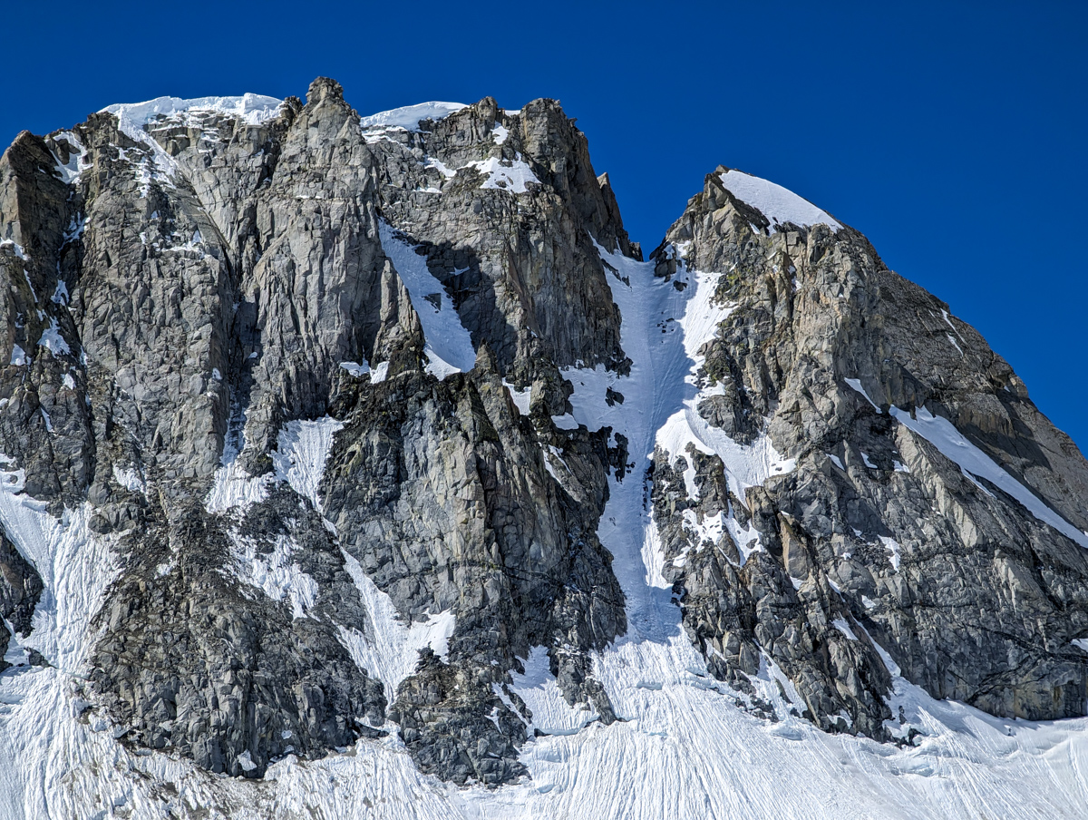
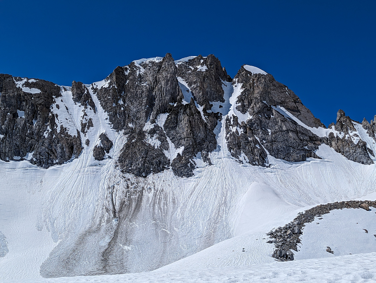
The North Couloir of Mt. Gilbert looked like shit.
You could tell the last guys to ski it most side stepped down.
It had wet slides, dirt, rock, and ugliness all over it.
It was also in the shade, and it was clear that it wouldn’t soften up today.
A bummer because that was one of my big goals this season.
Next year!
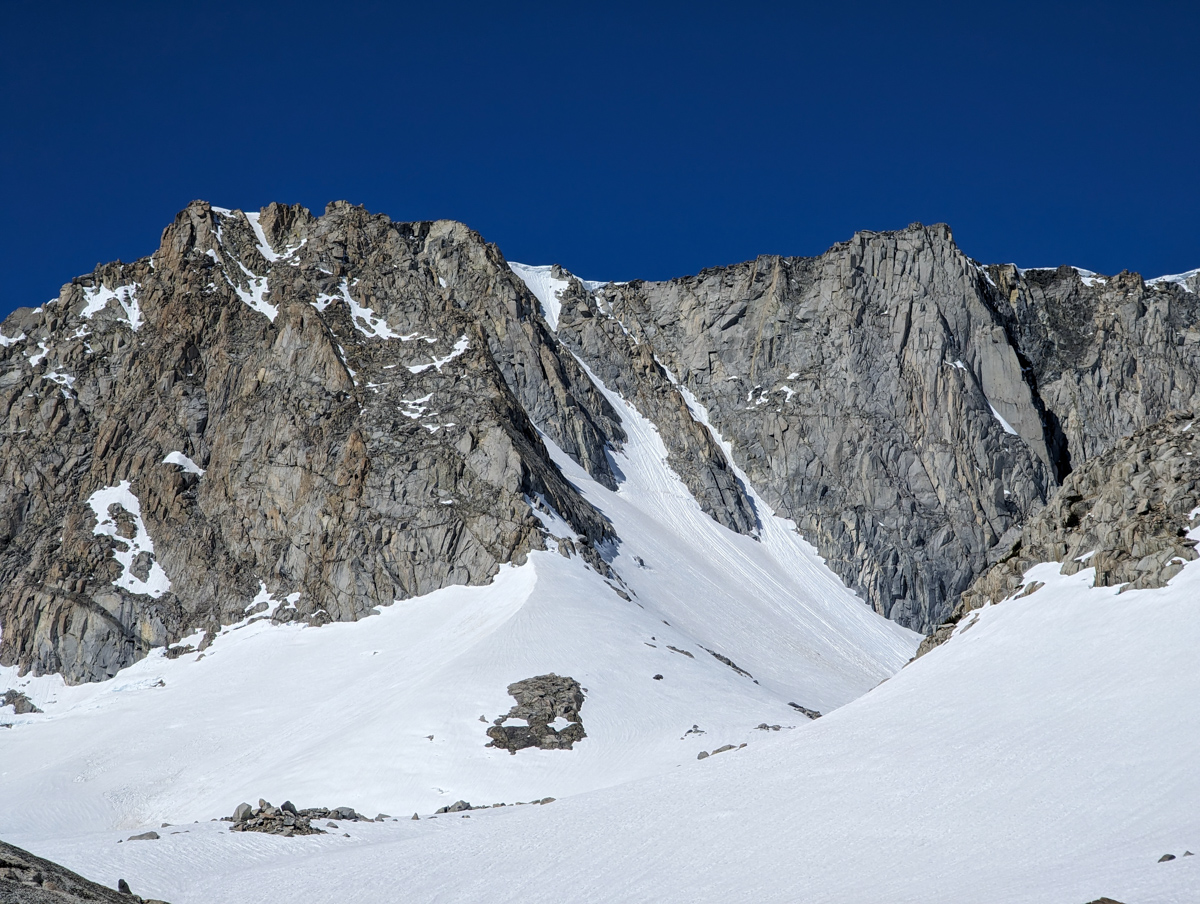
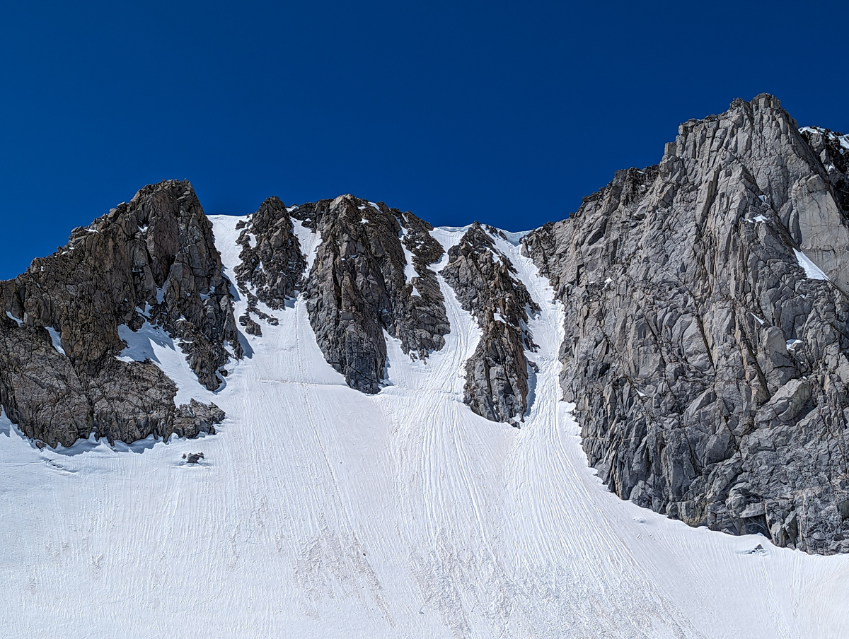
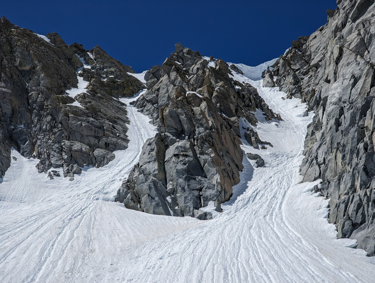
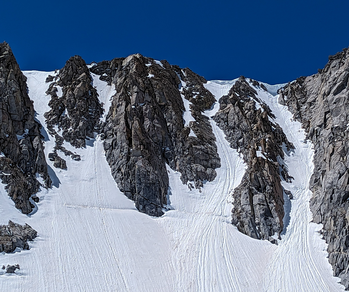
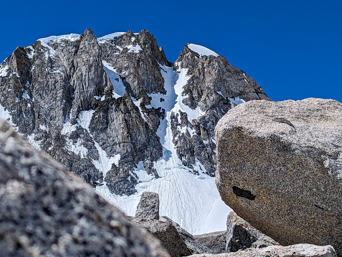
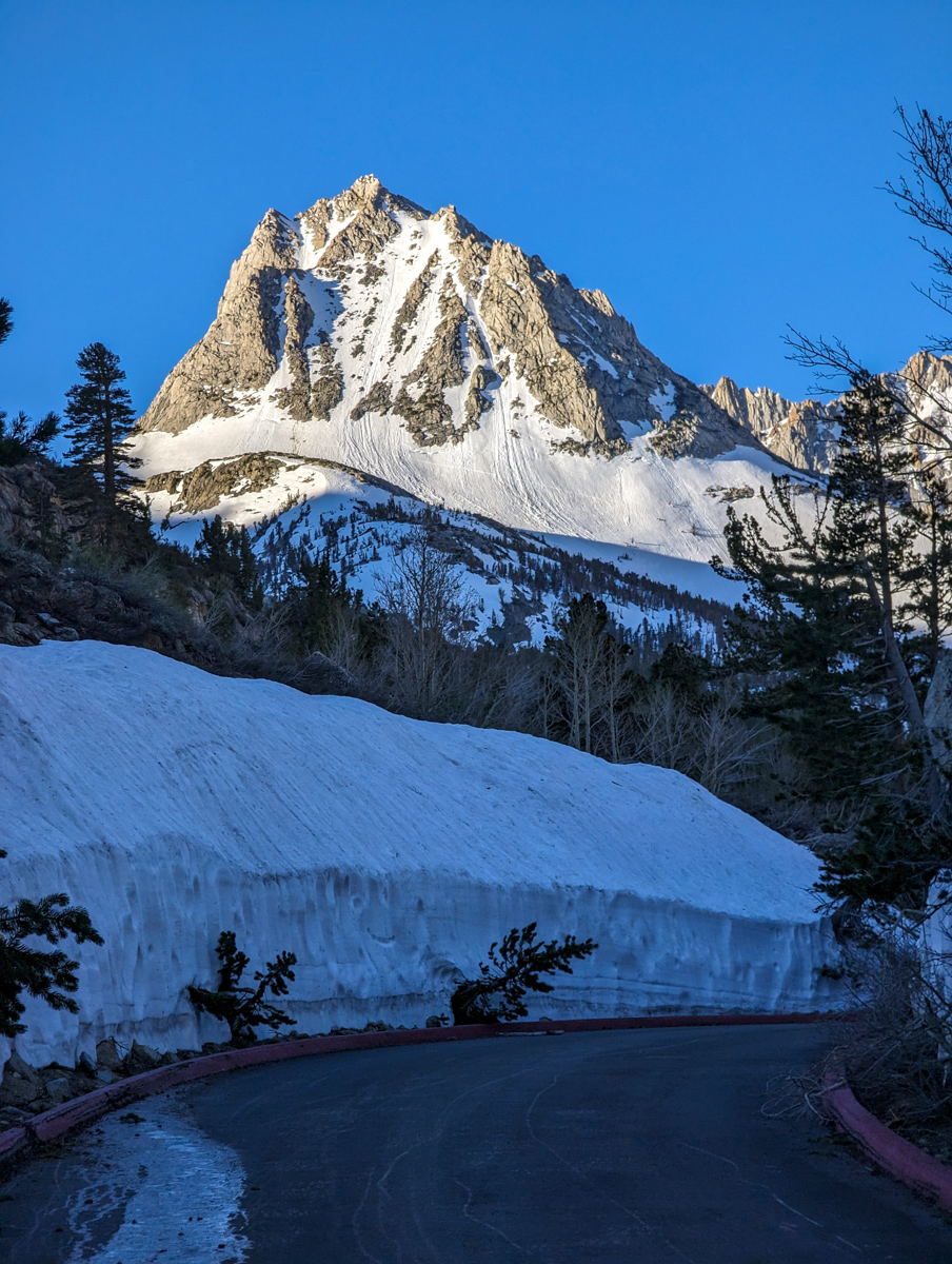
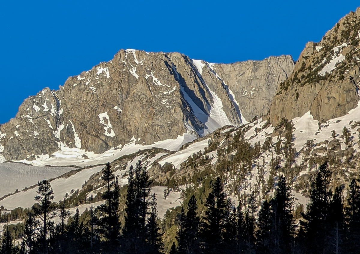
At about noon, I finally started up the lookers left “Trident Couloir” of Mt. Thompson.
The looker’s right chute had a large, evil, overhanging cornice.
The middle chute had a malicious ice bulge in the middle.
The left chute looked fun, steep, and narrow.
There was no choice.
With this firm snow, looker’s left it was.
I cramponed to the base of the chute hoping for a miracle.
The southwest wind was swirling direct up the north-facing chute while yelling in my ear: “No miracles today, boy!”
I continued on, anxiety in hand.
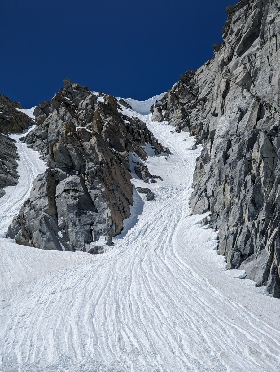
About halfway up the chute, it was clear that the snow was never going to soften this day.
I lied to myself that an hour on top might do the trick – knowing damn well it wouldn’t.
Besides, I had my hands full.
One ice axe in each hand, front pointing crampons, 5 to 6 spikes holding me onto the 45º steep mountain at any given time.
My safest option was to continue up as fast as safely possible.
I made good time to the top and settled in.
I waited an hour, and at 1:30 pm, it was time to drop.
After 1:30 pm, things generally don’t get any softer this time of year.
I used four ski straps to attach my two ice axes to my two ski poles.
Improvised “whippets” that have proven very effective in my ski mountaineering career.
I clicked into my skis and skittered towards the edge.
Skittered.
It was as firm as could be.
I went full Chamonix style, double pole planting with every turn – ice axes in hand.
More than once, I stuffed my ice axe’s spike into the snow as my skis ricocheted off the snow.
I side-stepped down the crux with always at least one ice axe in the snow.
I exited the couloir with relief.
I figured the apron would be softer, but it wasn’t.
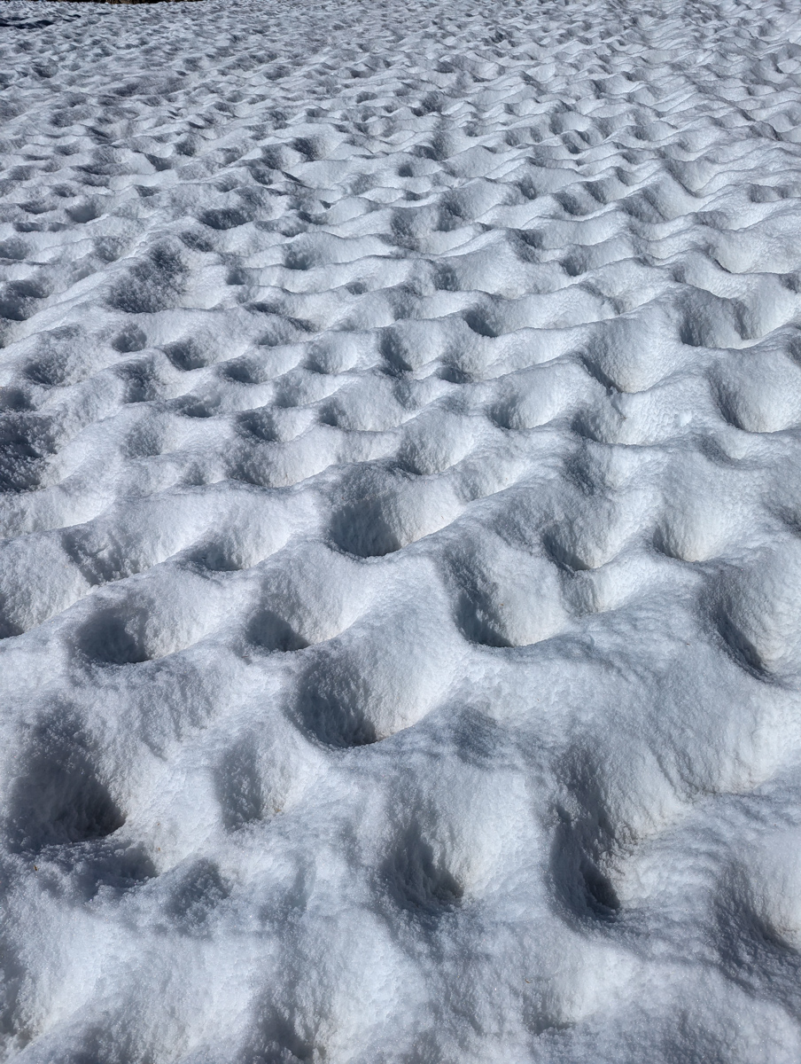
I skimmed along the icy corn snow for many an unpleasant turn before the corn became malleable.
Once it did, it was perfect corn!
In sun cups…
I happily glided downhill and dale towards Treasure Lake, followed my ski track down from Mt. Johnson last week past the waterfall, and onto South Lake.
Flat walking back to the road.
Shoes on.
I met some PCT hikers who had hiked there from Mexico.
They’d been hiking on nothing but snow since before Mt. Whitney.
No skis, no snow shoes, insane…
The road down to the car was a dream.
I felt very, very grateful.
Elation always follows a fear-filled mountain jaunt like this one.
Thanks, California!
SPRING 2023 REPORTS
- 6/15/23: Trip Report: 12,871′ Mount Johnson, CA – “North Couloir”
- 6/9/23: Trip Report: 13,366′ Point Powell, CA – “Point Powell Couloir”
- 6/8/23: Trip Report: 12,219′ Hurd Peak, CA – “North Face”
- 6/4/23: Trip Report: The Incredible Hulk, CA – “Hulk Left Couloir”
- 6/2/23: Trip Report: 13,187′ Basin Mountain – “Basin Couloir Alternate”
- 5/31/23: Trip Report: 12,808′ Four Gables, CA – “Tungstar Bowls”
- 5/27/23: Trip Report: 11,160′ Mt. Scowden – Lundy Canyon – “North Face Chute”
- 5/24/23: Sierra Nevada, CA Report: Skiing Through A Lava Tube Cave
- 5/23/23: Trip Report: 13,118′ Mt. Emerson – The 45º Steep “North Couloir”
- 5/20/23: Trip Report: 12,200′ Mt. Esha, CA – “2nd Chute”
- 5/18/23: Trip Report: McGee Creek Peak, CA – 2,800-Vertical-Foot “Wineglass Couloir”
- 5/16/23:Trip Report: 10,908′ Carson Peak, CA – 45º Steep “Pete’s Dream”
- 5/5/15/23: Trip Report: 11,812′ Mt. Laurel, CA – 3,500-Vertical-Foot “Pinner Couloir”
- 5/10/23: Trip Report: 13,005′ Mt. Morgan, CA – Nevahbe Ridge Gullies
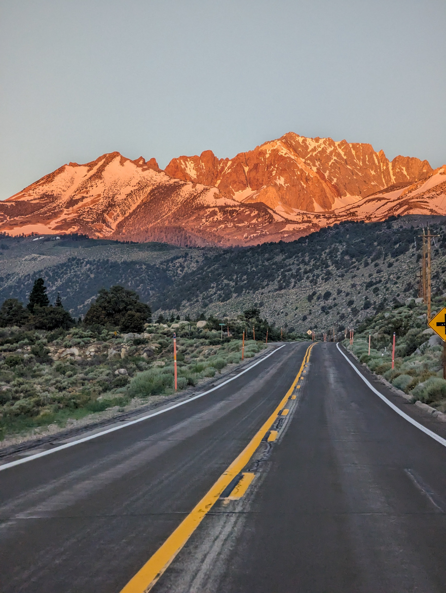
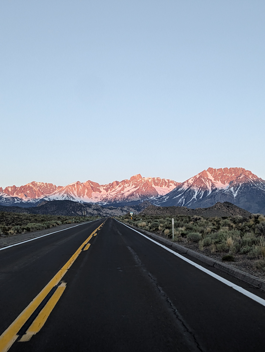
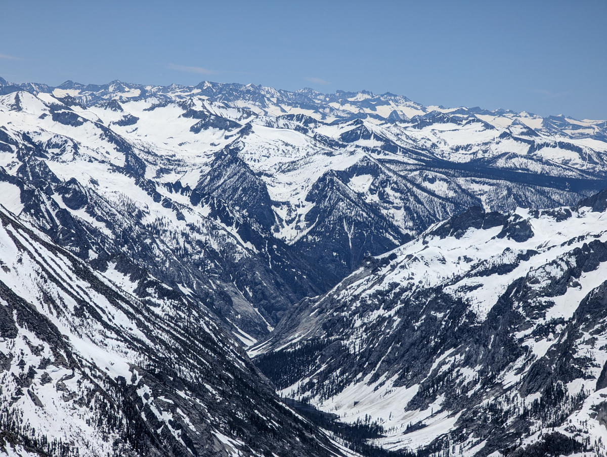
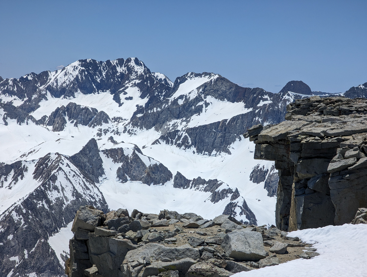
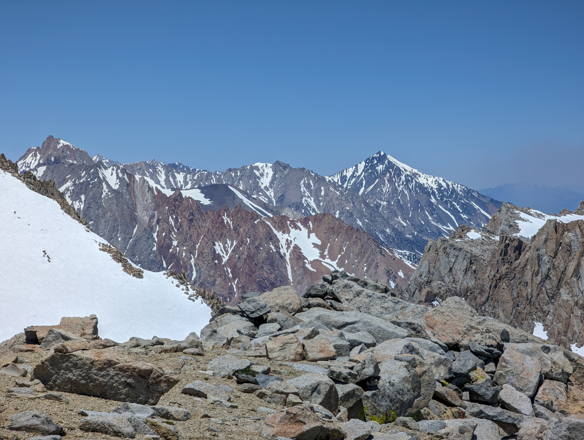
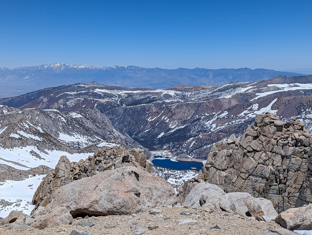
PHOTOS IN CHRONOLOGICAL ORDER