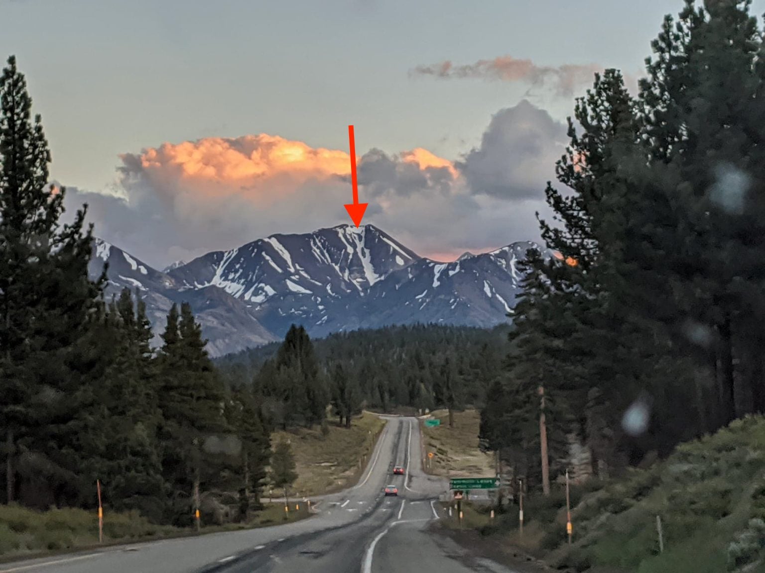
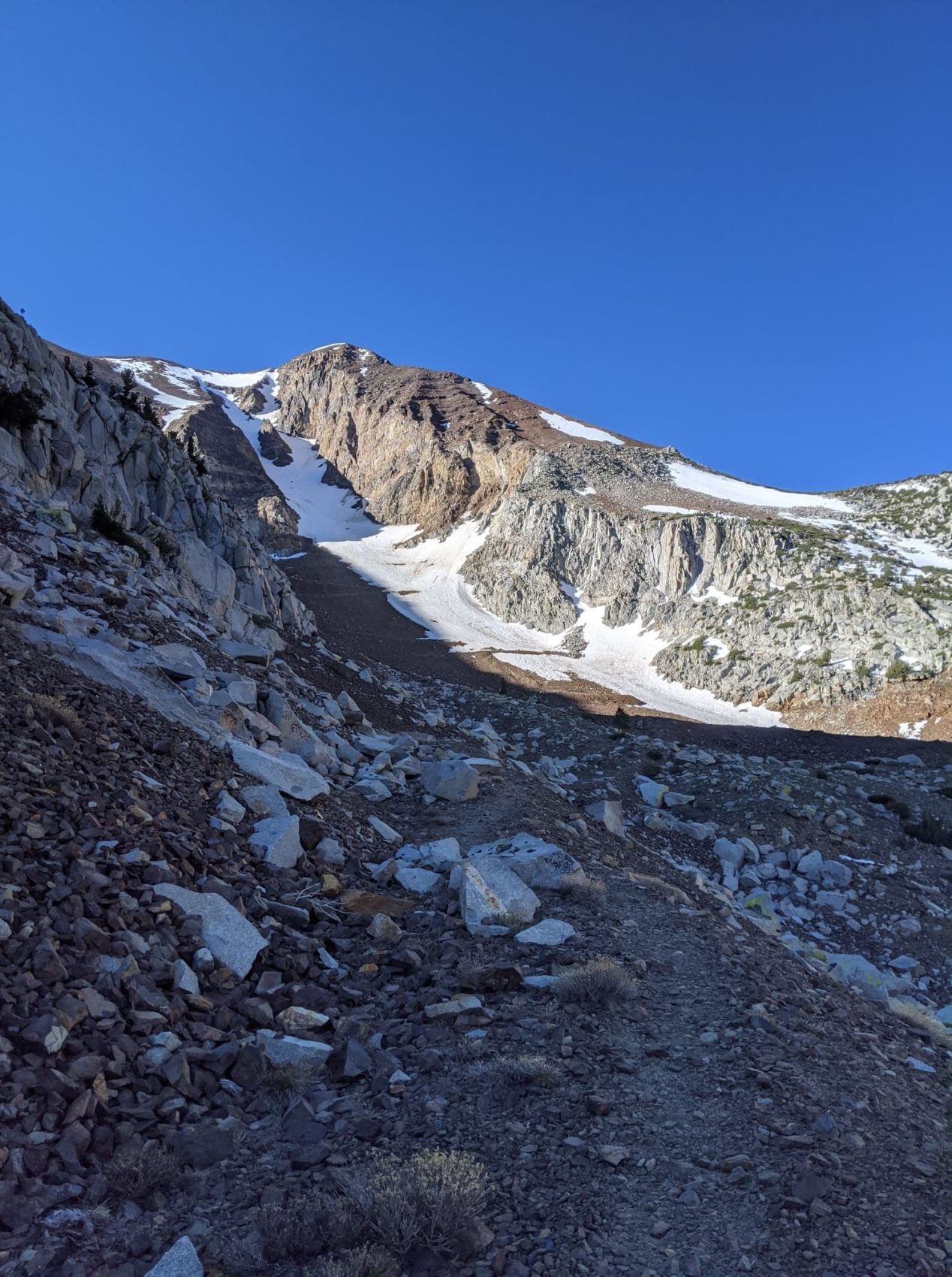
We rolled down 395 Sunday afternoon; Monday was supposed to be the first warm day after an anomalously cold June weekend with temperatures well below freezing. The week before saw a record-setting heatwave, so I figured that the refreeze over the weekend would be primo once the sun heated the snow back up by noon on Monday. I was stoked when I saw the line (couloir in the middle with two large stones) on the horizon.
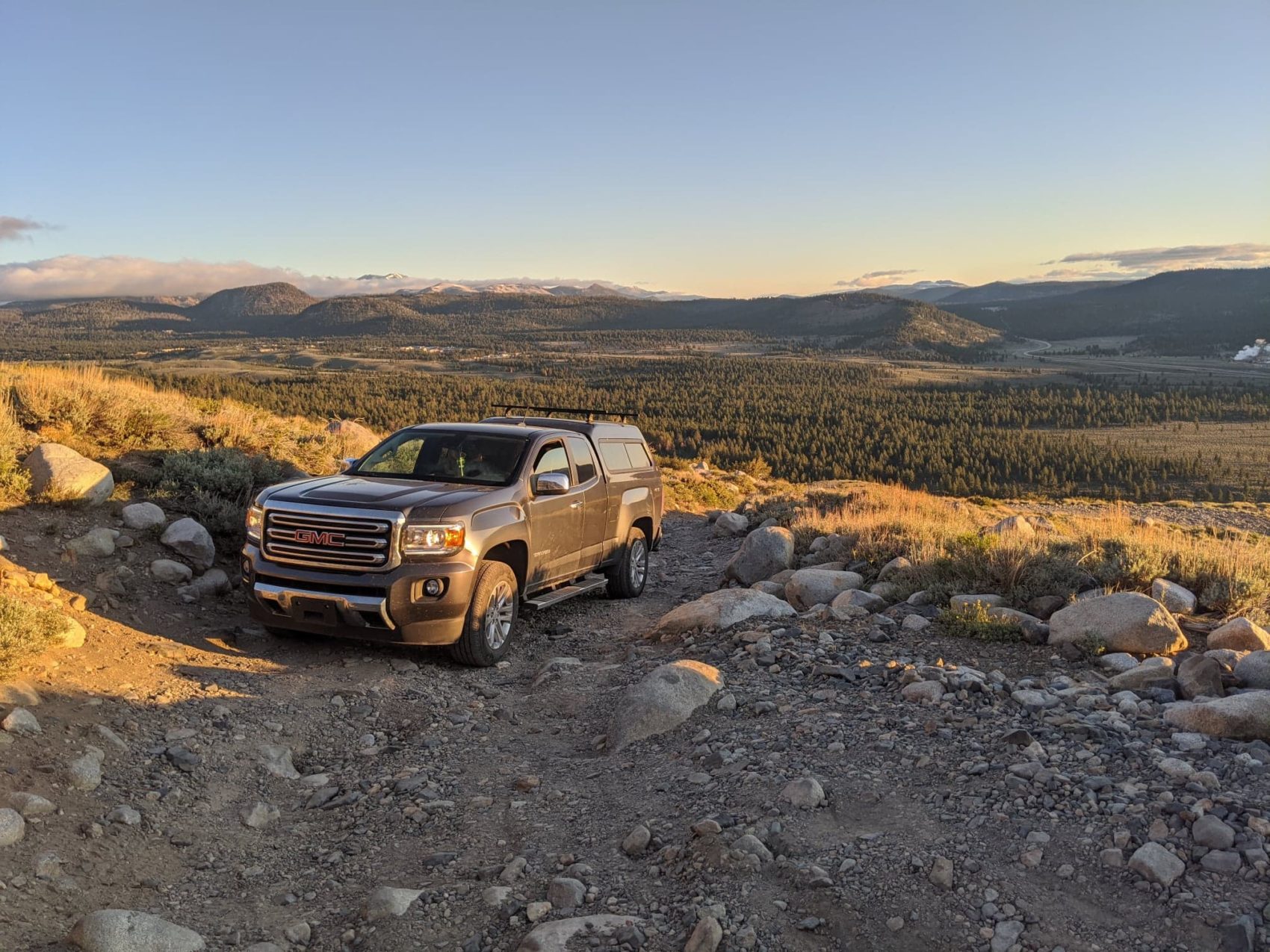
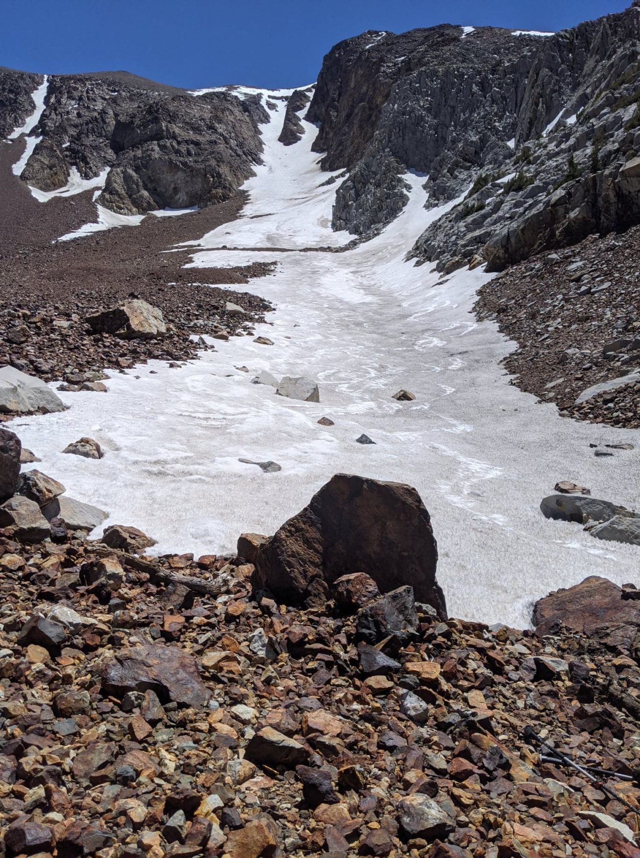
Sherwin Creek Road is the 4WD road that leads up the canyon to Bloody Mountain. Skiing this line in the summer is sweet because if your vehicle can hang and the snow is clear, you can drive almost all the way to the bottom of the line. Last year I tried to come up here in a Subaru and had to bail. GMC truck=Upgrade! The road was clear almost all the way. A narrow walking path had been hacked out by other adventurers. The line is conveniently just around the corner.
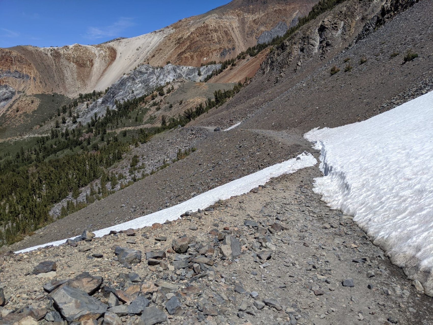
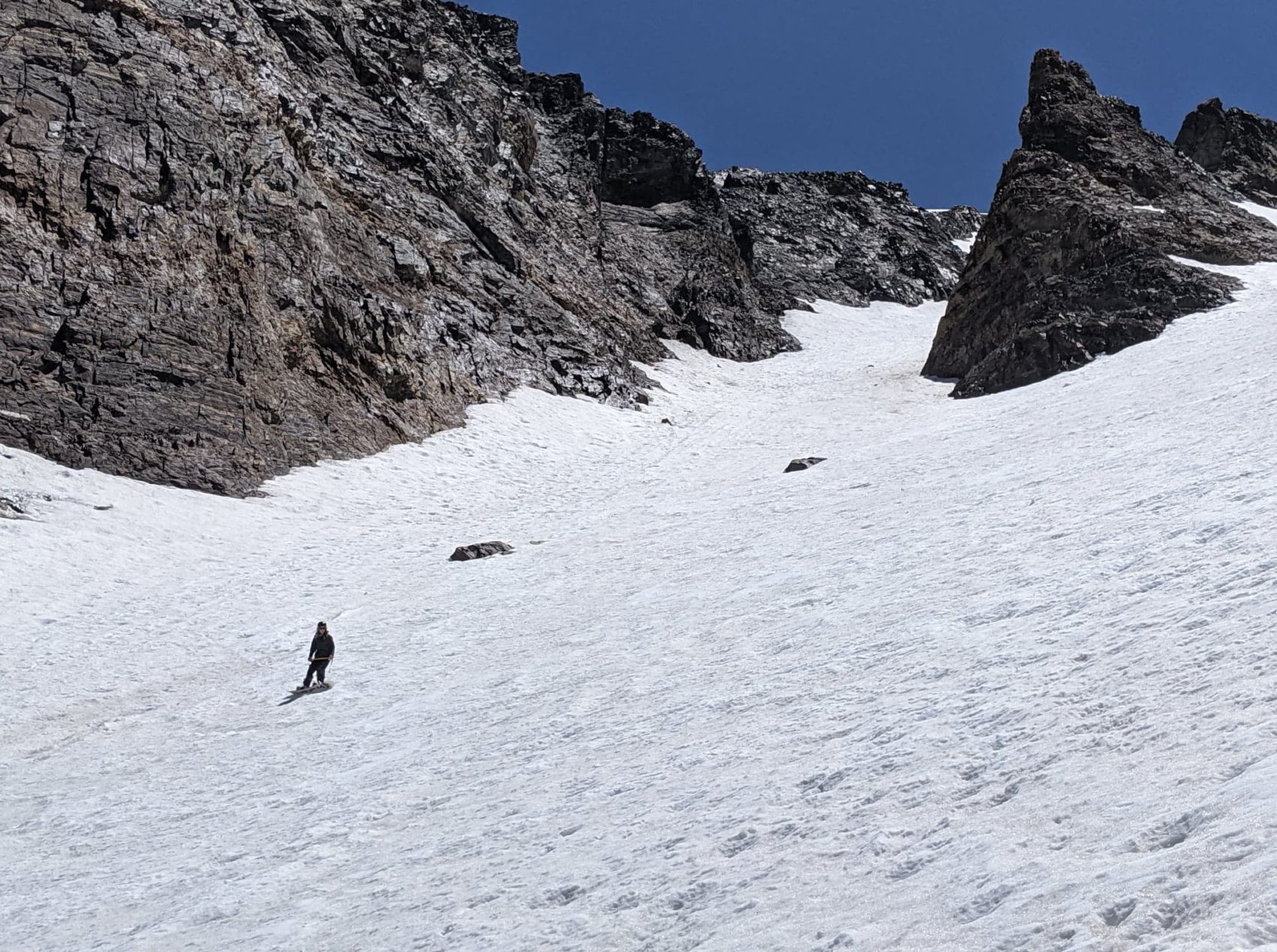
All lines look steep from far away. It’s just one of the many disorienting effects of mountain terrain because our spatial awareness is so thrown off. It looks more manageable from here than the highway, but the headwall is definitely still burly!
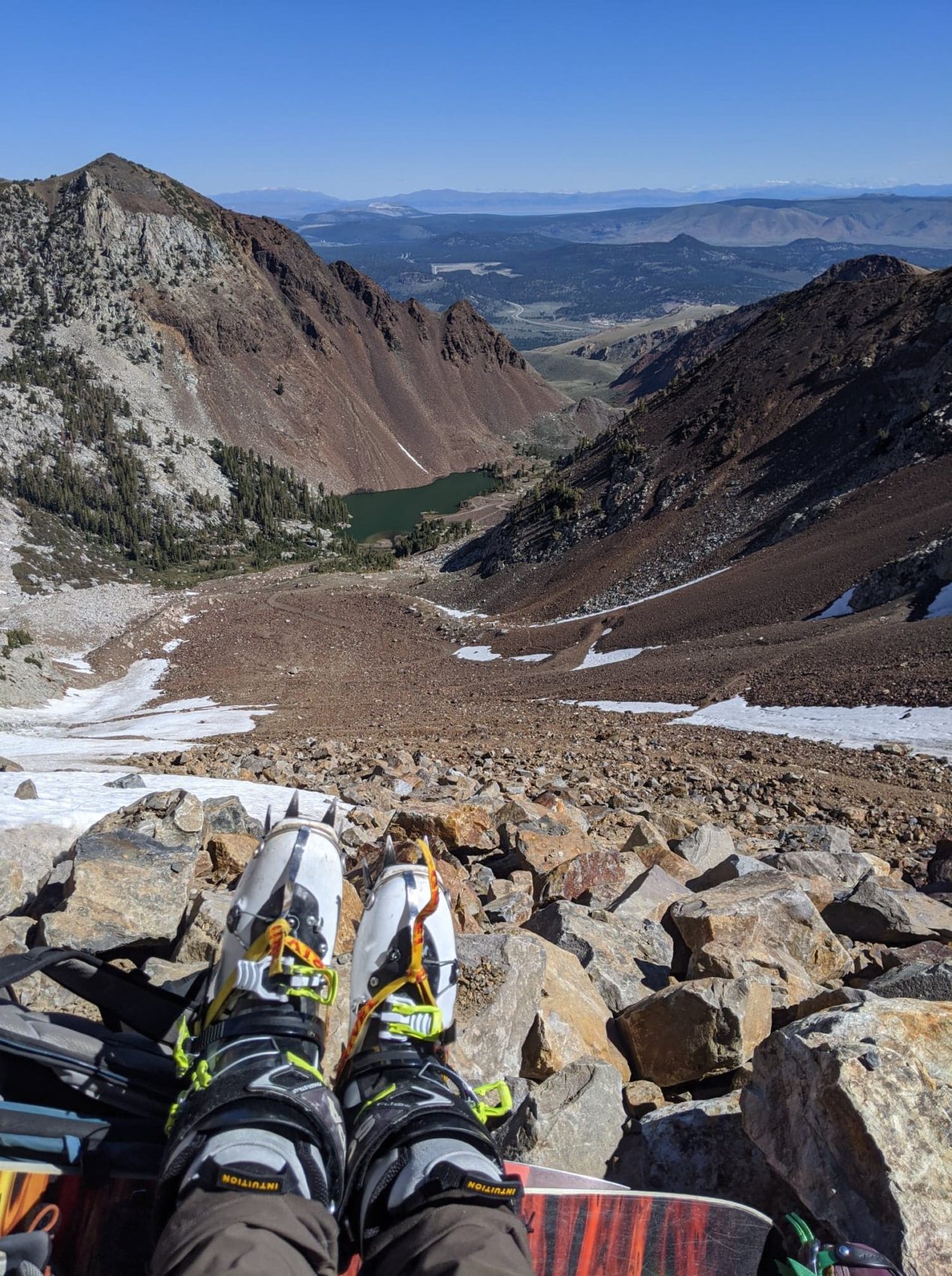
Footwear consideration for spring/summer in the Sierra Nevada is important. I like to cover dirt and rocks in light approach boots, and then either stash them at the bottom of the line or stuff them in my pack. I sometimes cover dirt terrain in ski boots, but I think the comfort of bringing hikers is worth the extra weight.
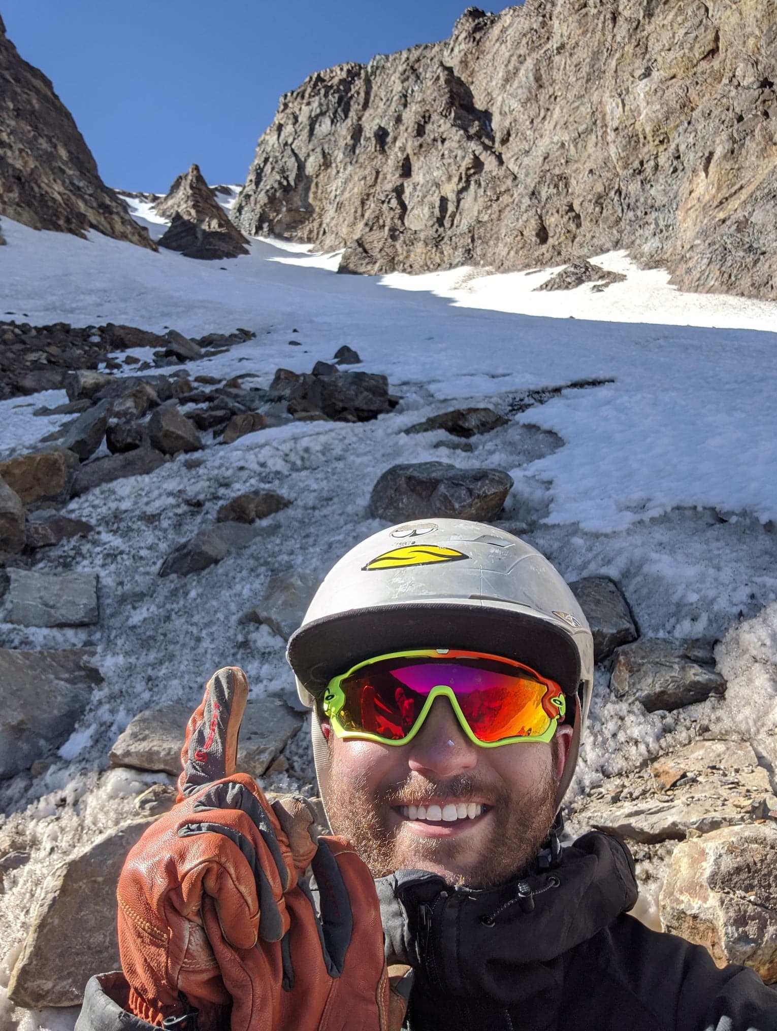
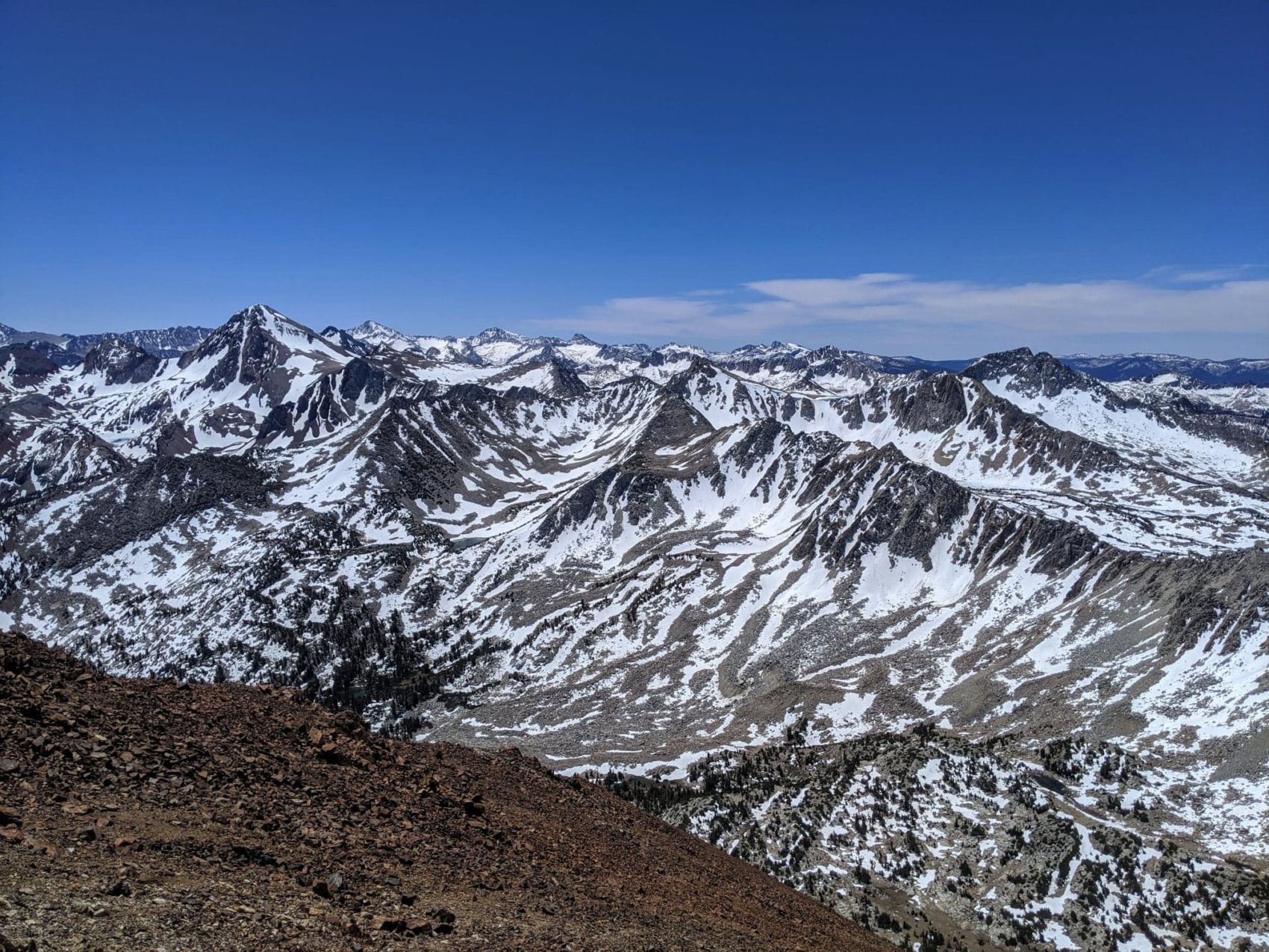
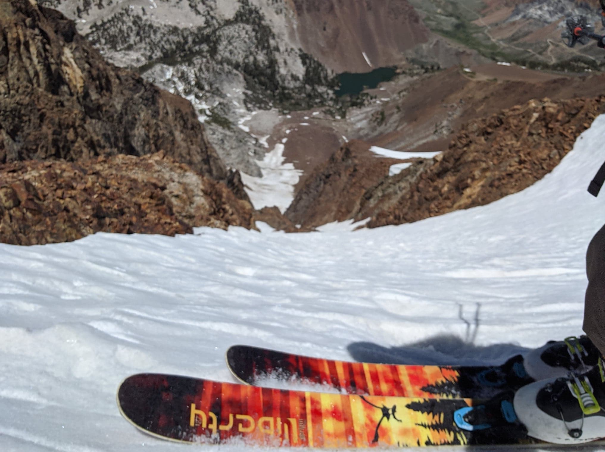
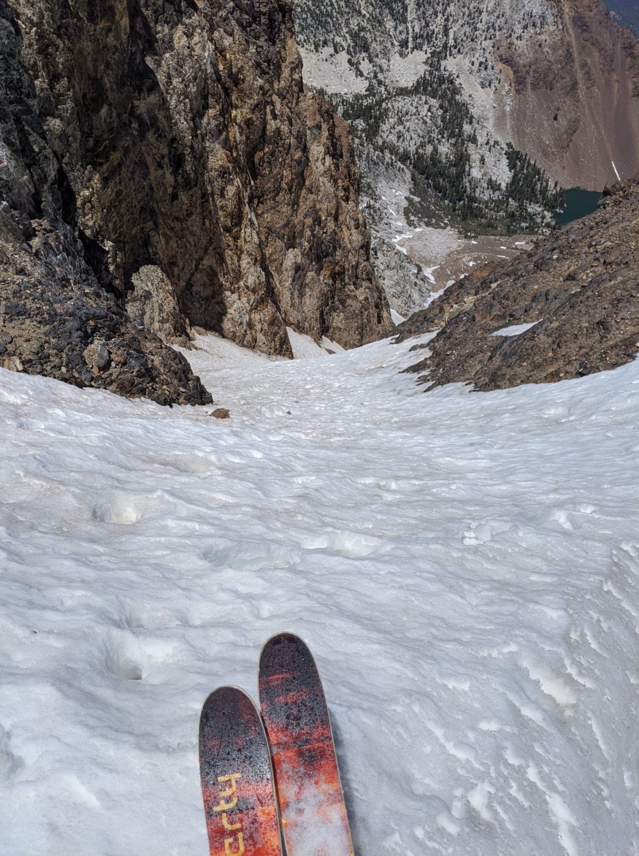
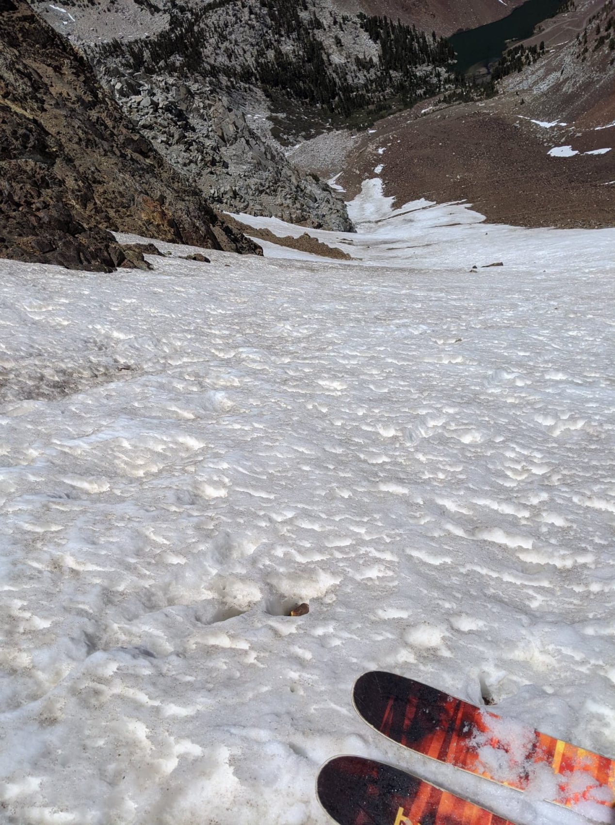
The snow was definitely not warm yet. My crucial mistake was forgetting to check the freezing level, which was probably well below the elevation of Bloody Couloir. After all, it was only 18 degrees up there in the morning, so it was likely frozen all the way down to the valley. The forecast for wind was just 5mph, and temperatures above 40, so I thought by early afternoon the top layer of the snow would be nice and corny. We were ready to drop at 12:30pm, but the snow was still rock solid. If you’re not a little puckered on 40+ degree ice, you’re probably doing it wrong.
I went over to check the sneak-line on the lookers right side of the couloir. I knew from my photo the evening before that it went all the way, so I had to look. That side of the couloir started receiving sun about an hour or two before the left side, which was tucked under the north-facing rib of cliffs and was well shaded. The snow had been really firm in the chute so far, so I tried to find something more shmooey on the sunny side. It was still pretty firm over there and threatened by more rockfall, so we stuck to the main gut.
May/June 2020 Trip Reports:
- Trip Report: Tickle Mary’s Nipple, WY — Why Not?
- Trip Report: Sailing from San Francisco, CA to Angel Island
- Trip Report: Mt. Dana, CA – “Dana Couloir”
- Trip Report: Mt. Dana, CA – “Solstice Couloir”
- Trip Report: Mt. Timpanogos, UT – “Grunge Couloir”
- Trip Report: Mt. Timpanogos, UT – “Cold Fusion Couloir”
- Trip Report: Snowbird, UT – “Pipeline”
- Trip Report: Mt. Superior, UT | “South Face”
- Trip Report: Little Cottonwood Canyon, UT – “Tanners Gulch”
- Trip Report: Antelope Island/Great Salt Lake , UT | The Baja California of Utah… But With Buffalos
- Alta, UT Report: Little Chute Absolutely Firing in Spring Splashiness!
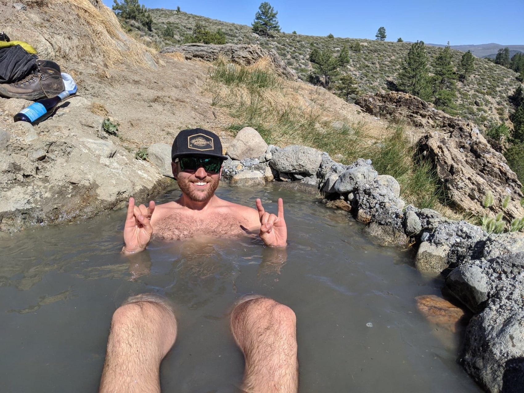
No trip to the East Side is complete without a relaxing dip in the hot springs. Bye, bye, sore calves! I keep thinking it’s time to hang up the skis for the season… but Bloody will always be there!
